East Hermiston
Settlement in Midlothian
Scotland
East Hermiston
East Hermiston is a small village located in the Midlothian region of Scotland. Situated approximately 10 miles southeast of the capital city, Edinburgh, East Hermiston is nestled amidst the picturesque Scottish countryside. The village is part of the wider Hermiston area, which also includes West Hermiston and South Hermiston.
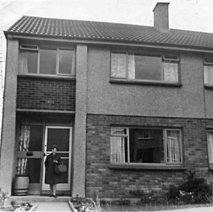
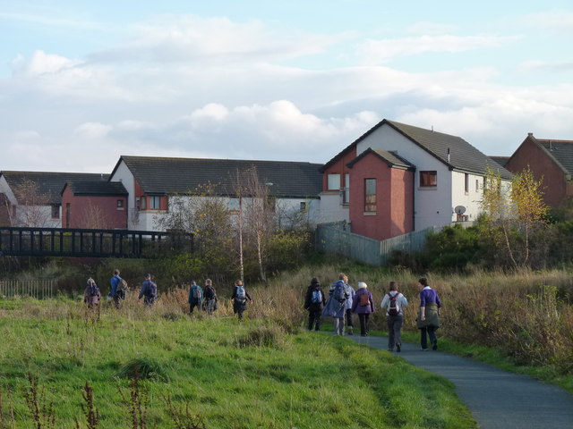
With a population of around 500 residents, East Hermiston has a close-knit community feel. The village is characterized by its charming cottages, well-maintained gardens, and peaceful surroundings. Its rural location offers residents a tranquil lifestyle away from the hustle and bustle of city living, while still being within easy reach of urban amenities.
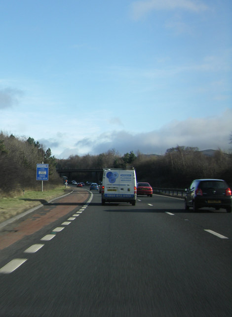
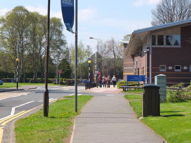
Although primarily residential, East Hermiston is conveniently located near several larger towns and cities. The nearby city of Edinburgh provides a wealth of cultural, entertainment, and employment opportunities. Additionally, the village benefits from good transport links, with major roads and public transportation options connecting it to surrounding areas.
The village is also surrounded by beautiful natural landscapes, making it an attractive destination for outdoor enthusiasts. The Pentland Hills Regional Park, located just a short distance away, offers ample opportunities for hiking, cycling, and wildlife spotting. Residents of East Hermiston can enjoy the tranquility of the countryside while having easy access to recreational activities.
In summary, East Hermiston is a peaceful village in Midlothian, Scotland, offering a serene rural lifestyle while remaining within close proximity to larger urban areas and natural beauty.
If you have any feedback on the listing, please let us know in the comments section below.
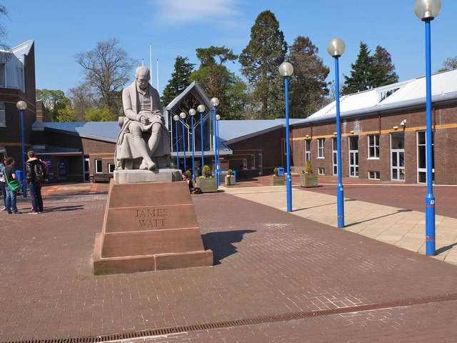
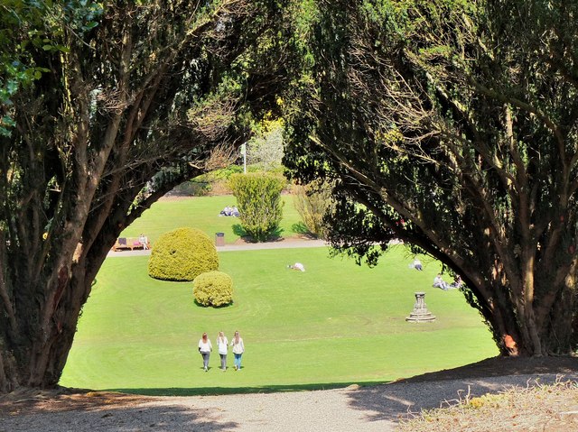
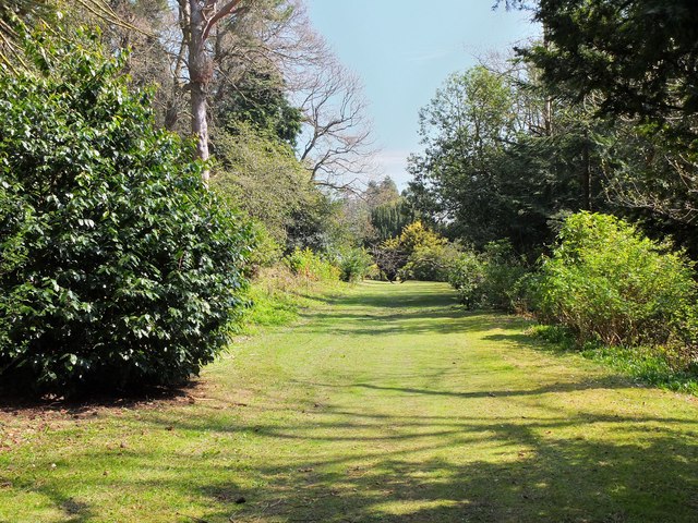
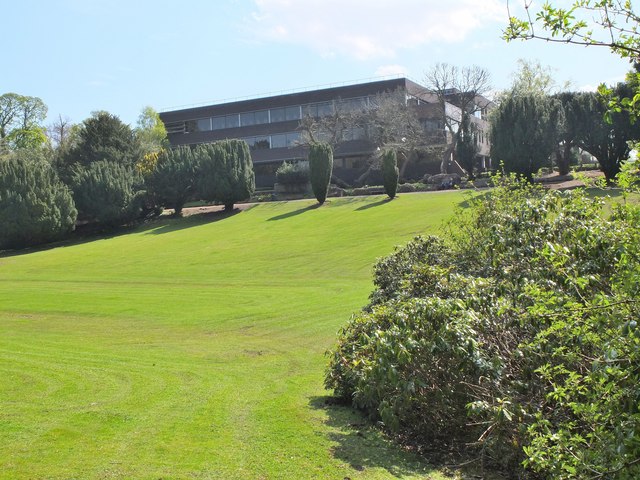
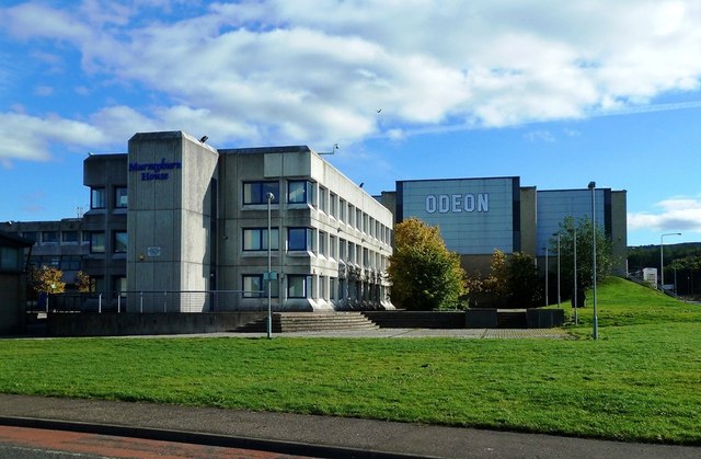
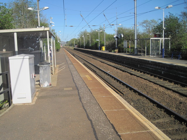
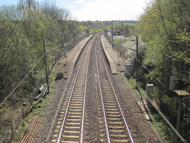
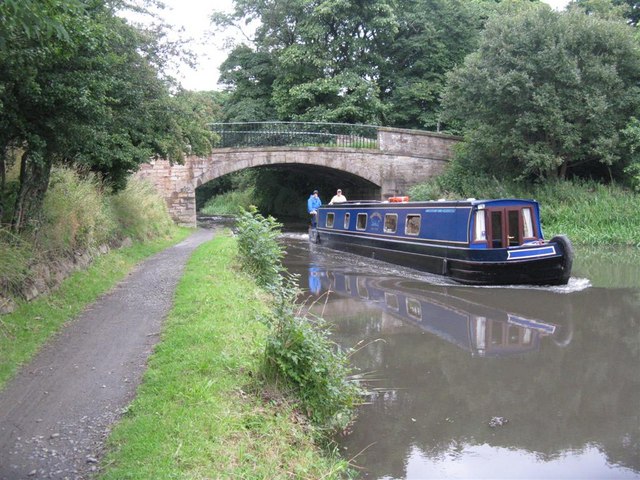
East Hermiston Images
Images are sourced within 2km of 55.916075/-3.3135179 or Grid Reference NT1870. Thanks to Geograph Open Source API. All images are credited.


East Hermiston is located at Grid Ref: NT1870 (Lat: 55.916075, Lng: -3.3135179)
Unitary Authority: City of Edinburgh
Police Authority: Edinburgh
What 3 Words
///palace.races.lions. Near Currie, Edinburgh
Nearby Locations
Related Wikis
Hermiston, Edinburgh
Hermiston is a hamlet formerly in the County of Midlothian and now part of Edinburgh, the capital of Scotland. It is north of the Heriot-Watt University...

Oriam
Oriam is Scotland's national performance centre for sport, based at Heriot-Watt University's Riccarton campus in Edinburgh. The Scottish Rugby Union and...
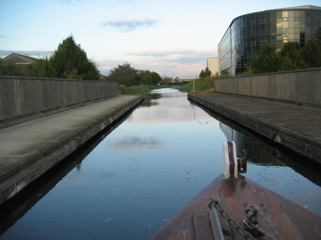
Scott Russell Aqueduct
The Scott Russell Aqueduct is an aqueduct carrying the Union Canal over the Edinburgh City Bypass, west of Edinburgh, Scotland. == History == The aqueduct...
Renewable Energy Institute
The Renewable Energy Institute is the global professional and educational body for the renewable energy and low carbon sectors. Its focus is education...
European Centre of Technology
The European Centre of Technology (ECT) Institute is a Professional Body created in 1975 and its focus is engineering, marketing, finance education, and...
European Energy Centre
The European Energy Centre (EEC) Institute is an independent professional educational body for the renewable energy, energy efficiency and electric vehicles...

Edinburgh Business School
Edinburgh Business School (EBS) is the Graduate School of Business of Heriot-Watt University (est. 1821), Edinburgh, Scotland. Heriot-Watt University awards...

Riccarton, Edinburgh
Riccarton is an area in Edinburgh's Green Belt, in Scotland. It is mainly undeveloped, with much farmland and few houses. Riccarton is to the west of the...
Nearby Amenities
Located within 500m of 55.916075,-3.3135179Have you been to East Hermiston?
Leave your review of East Hermiston below (or comments, questions and feedback).