Allnutt's Wood
Wood, Forest in Buckinghamshire
England
Allnutt's Wood

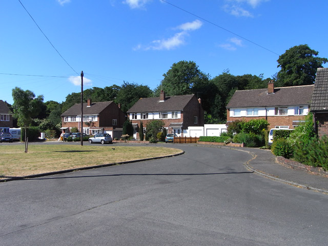
Allnutt's Wood is a picturesque woodland located in Buckinghamshire, England. Covering an area of approximately 70 acres, it is known for its natural beauty and diverse flora and fauna. This ancient woodland is believed to have existed for hundreds of years, with some trees estimated to be over 200 years old.
The wood is predominantly made up of broadleaf trees, including oak, beech, and ash, creating a dense canopy that provides shade and shelter to a variety of wildlife. Bluebells carpet the forest floor in the spring, creating a stunning display of vibrant colors. The wood is also home to a wide range of bird species, such as woodpeckers, owls, and warblers, making it a popular spot for birdwatchers.
A network of well-maintained footpaths allows visitors to explore the wood and appreciate its natural beauty. The paths wind through the trees, offering glimpses of hidden clearings and tranquil ponds. Visitors can enjoy a peaceful walk, taking in the sights and sounds of nature, or find a secluded spot for a picnic.
Allnutt's Wood is managed by a local conservation organization, ensuring the preservation of its natural habitat and biodiversity. Conservation efforts include selective tree felling to promote the growth of younger trees and the creation of deadwood habitats for insects and fungi.
Overall, Allnutt's Wood is a cherished natural gem in Buckinghamshire, offering a peaceful escape from the hustle and bustle of everyday life. Its ancient trees, vibrant flora, and diverse wildlife make it a must-visit destination for nature lovers and those seeking tranquility in a rural setting.
If you have any feedback on the listing, please let us know in the comments section below.
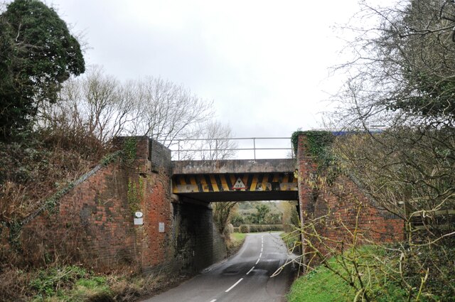
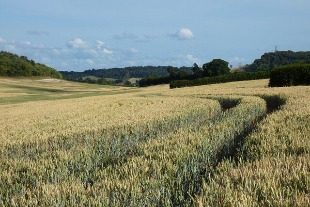
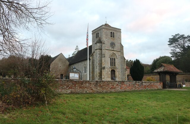
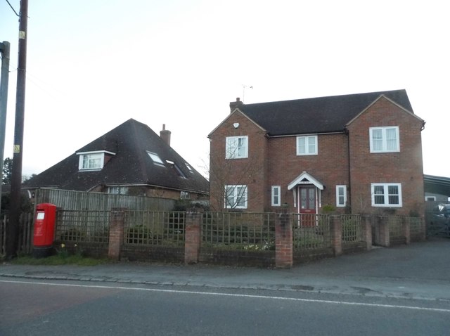
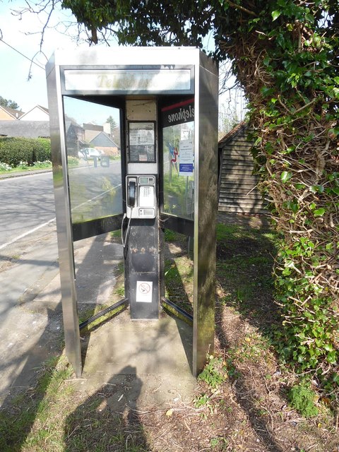
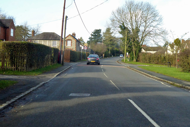
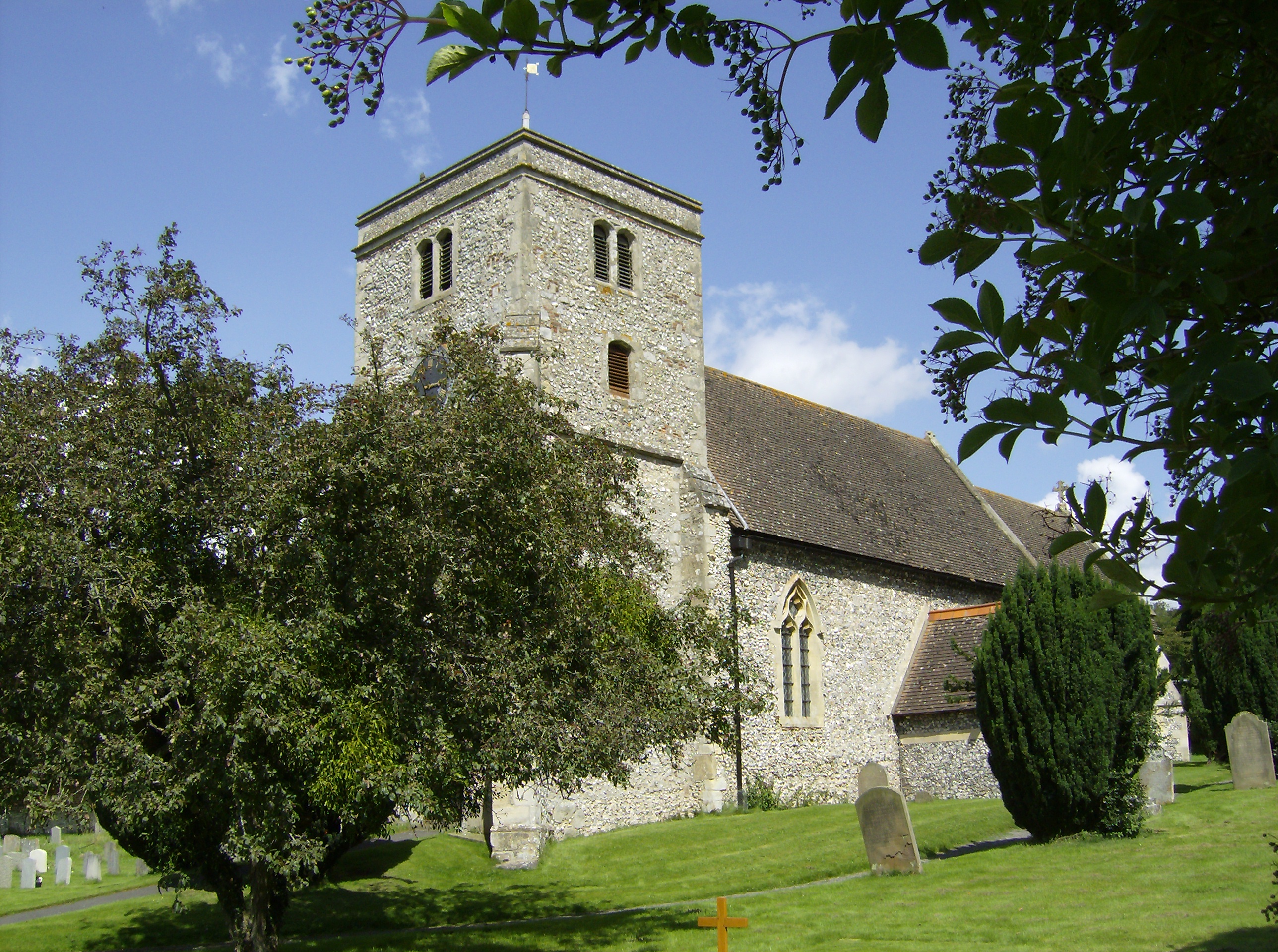
Allnutt's Wood Images
Images are sourced within 2km of 51.668112/-0.8198714 or Grid Reference SU8197. Thanks to Geograph Open Source API. All images are credited.


Allnutt's Wood is located at Grid Ref: SU8197 (Lat: 51.668112, Lng: -0.8198714)
Unitary Authority: Buckinghamshire
Police Authority: Thames Valley
What 3 Words
///yummy.refusals.table. Near Stokenchurch, Buckinghamshire
Nearby Locations
Related Wikis
Bradenham, Buckinghamshire
Bradenham is a village and civil parish in Buckinghamshire, England. It is near Saunderton, off the main A4010 road between Princes Risborough and High...
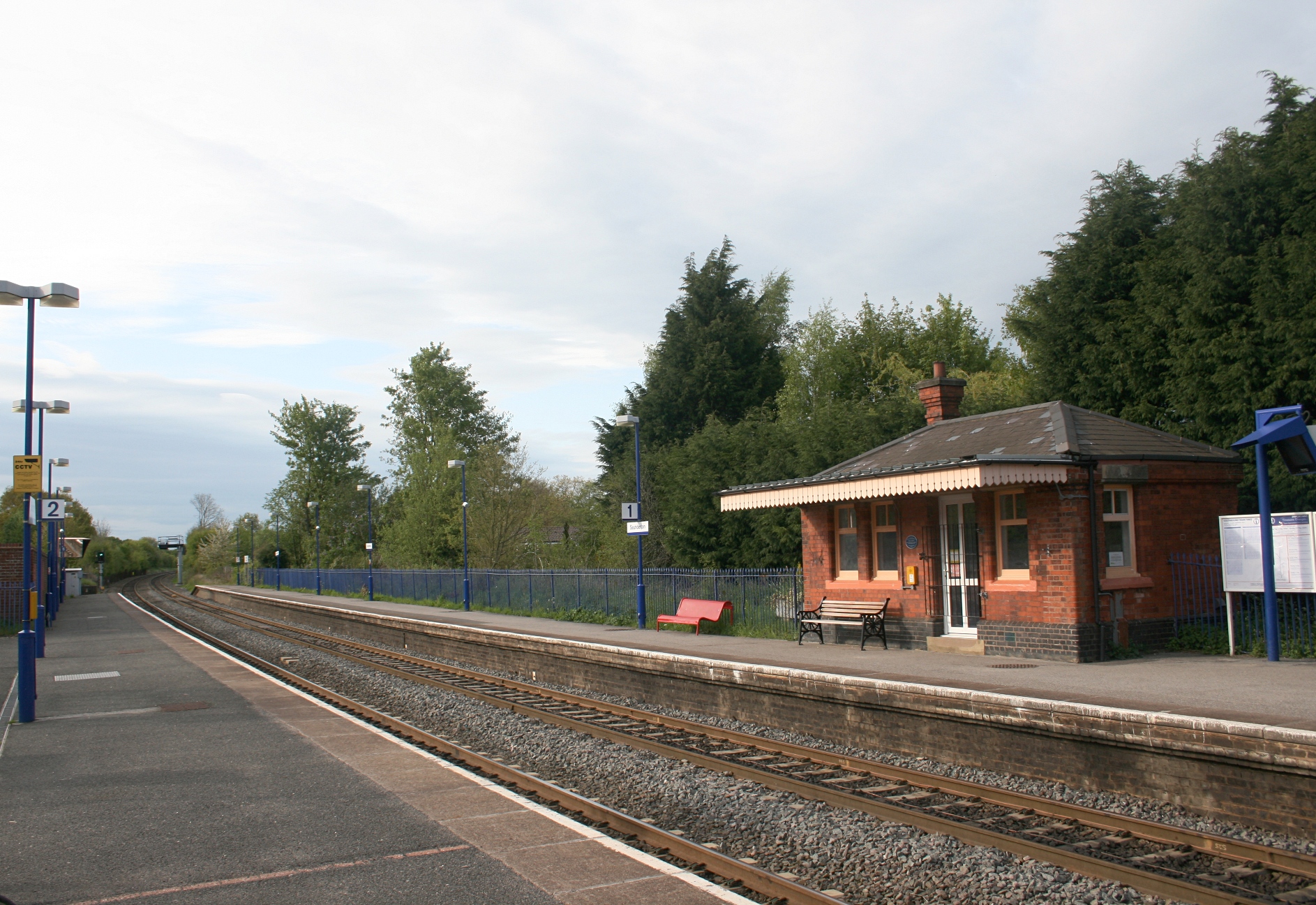
Saunderton railway station
Saunderton railway station is a railway station on the A4010 road between High Wycombe and Princes Risborough, in Buckinghamshire, England. It is located...

Buttlers Hangings
Buttlers Hangings is a 3.9-hectare (9.6-acre) Site of Special Scientific Interest north of West Wycombe in Buckinghamshire. It is in the Chilterns Area...

Bradenham Woods, Park Wood and The Coppice
Bradenham Woods, Park Wood and The Coppice is a 129.1-hectare (319-acre) biological Site of Special Scientific Interest in Bradenham in Buckinghamshire...

RAF High Wycombe
Royal Air Force High Wycombe or more simply RAF High Wycombe is a Royal Air Force station, situated in the village of Walters Ash, near High Wycombe in...

Bledlow Ridge
Bledlow Ridge is a village in the civil parish of Bledlow-cum-Saunderton in Buckinghamshire, England. In 2004 the population was 940. It is situated in...
Walters Ash
Walters Ash (also sometimes called Walter's Ash) is a village in the parish of Bradenham, in Buckinghamshire, England. It is located in the Chiltern Hills...

Naphill Common
Naphhill Common is a 71.1-hectare (176-acre) Site of Special Scientific Interest in Naphill in Buckinghamshire. It is in of the Chilterns Area of Outstanding...
Have you been to Allnutt's Wood?
Leave your review of Allnutt's Wood below (or comments, questions and feedback).