East Heckington
Settlement in Lincolnshire North Kesteven
England
East Heckington
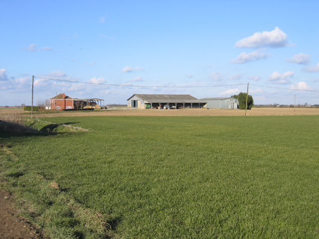
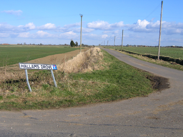
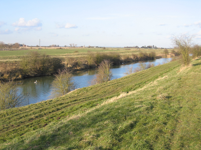
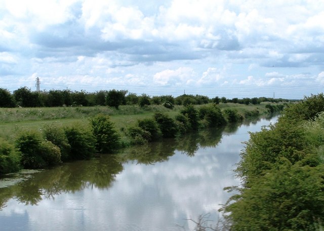
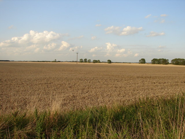
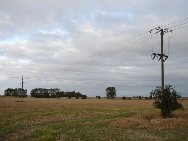
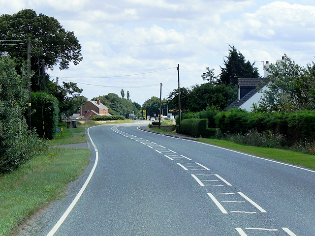
East Heckington is a small village located in the county of Lincolnshire, England. Situated approximately 5 miles south-east of the market town of Sleaford, it falls within the civil parish of Heckington. The village is surrounded by the picturesque Lincolnshire countryside, characterized by rolling fields and farmland.
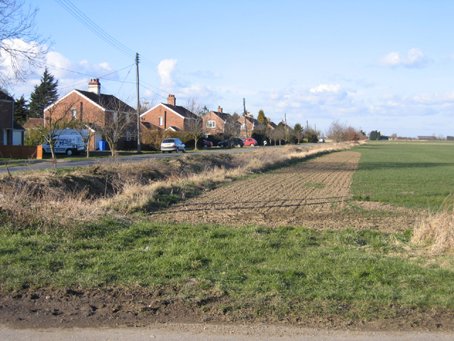
As a rural settlement, East Heckington retains a tranquil and peaceful atmosphere. It is primarily a residential area, with a small population of around 300 residents. The village is known for its beautiful traditional architecture, with many charming cottages and houses dating back to the 18th and 19th centuries.
Despite its small size, East Heckington boasts several amenities for its residents. These include a local pub, The Red Lion, which serves as a social hub for the community. Additionally, the village has a primary school, providing education for children up to the age of 11.
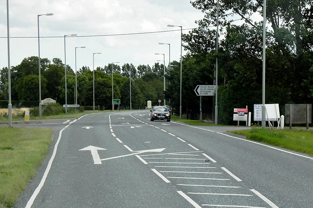
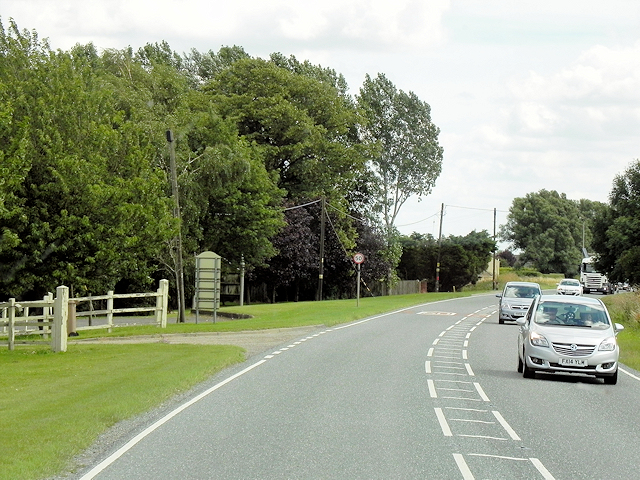
The surrounding countryside offers opportunities for outdoor activities such as walking, cycling, and exploring the nearby nature reserves. The village is also conveniently located for those wishing to explore further afield, with good transport links to nearby towns and cities.
East Heckington is part of the larger Heckington parish, which is known for its annual Heckington Show, one of the largest village shows in the country. The show attracts visitors from far and wide, showcasing agriculture, livestock, and various forms of entertainment.
Overall, East Heckington offers a peaceful and idyllic setting for its residents, with a close-knit community and easy access to both rural and urban amenities.
If you have any feedback on the listing, please let us know in the comments section below.
East Heckington Images
Images are sourced within 2km of 52.977595/-0.210495 or Grid Reference TF2043. Thanks to Geograph Open Source API. All images are credited.


East Heckington is located at Grid Ref: TF2043 (Lat: 52.977595, Lng: -0.210495)
Division: Parts of Kesteven
Administrative County: Lincolnshire
District: North Kesteven
Police Authority: Lincolnshire
What 3 Words
///superbly.pure.vocals. Near Swineshead, Lincolnshire
Nearby Locations
Related Wikis

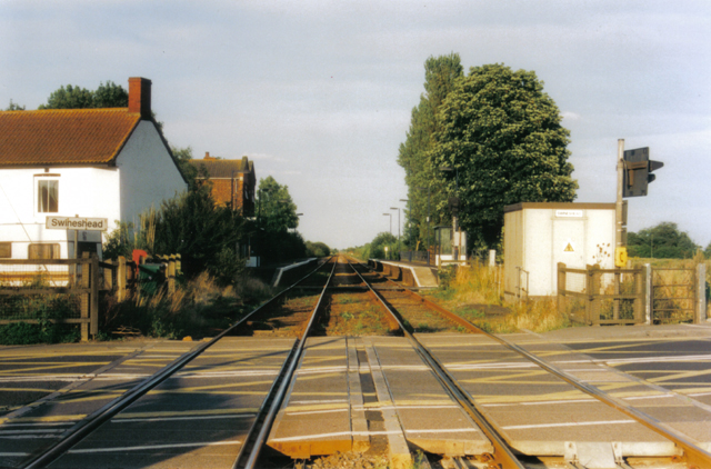
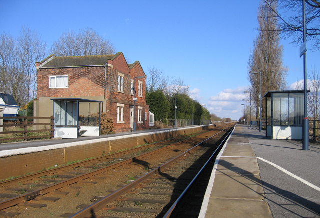
Swineshead railway station
Swineshead railway station serves the village of Swineshead in Lincolnshire, England. Although named Swineshead, the station is, in reality, located in...

Amber Hill
Amber Hill is a village and civil parish in Lincolnshire, England, approximately 6 miles (10 km) west-north-west from Boston. The 2001 Census measured...

Borough of Boston
The Borough of Boston is a local government district with borough status in Lincolnshire, England. Its council is based in the town of Boston. The borough...

Baythorpe
Baythorpe is a village in Lincolnshire, England. It is in the civil parish of Swineshead. == References == == External links == Media related to Baythorpe...
Nearby Amenities
Located within 500m of 52.977595,-0.210495Have you been to East Heckington?
Leave your review of East Heckington below (or comments, questions and feedback).