Ashley
Settlement in Hampshire New Forest
England
Ashley
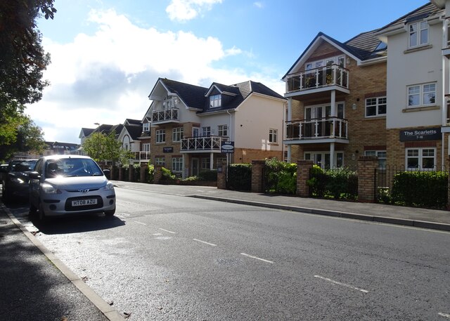
Ashley is a small village located in the county of Hampshire, England. Situated just 5 miles northeast of the market town of New Milton, Ashley is nestled in the picturesque New Forest National Park. The village is characterized by its peaceful and rural atmosphere, making it an ideal destination for those seeking tranquility and natural beauty.
Ashley is known for its traditional English charm, with quaint thatched-roof cottages and historic buildings dotting the village. The village center features a small but vibrant community, complete with a local pub, a village hall, and a primary school. The surrounding countryside is a haven for outdoor enthusiasts, offering ample opportunities for hiking, cycling, and exploring the stunning landscapes of the New Forest.
One of the main attractions near Ashley is the New Forest Wildlife Park, where visitors can observe and learn about a variety of native wildlife species, including deer, otters, owls, and wildcats. The nearby coastline is also easily accessible, with beautiful sandy beaches just a short drive away.
Despite its rural setting, Ashley benefits from good transport links, with the nearby A337 road connecting the village to larger towns and cities in the region. The village is also served by regular bus services, providing convenient access to neighboring areas.
Overall, Ashley offers a peaceful and idyllic setting for residents and visitors alike, with its charming village center, stunning natural surroundings, and easy access to the New Forest National Park and the Hampshire coastline.
If you have any feedback on the listing, please let us know in the comments section below.
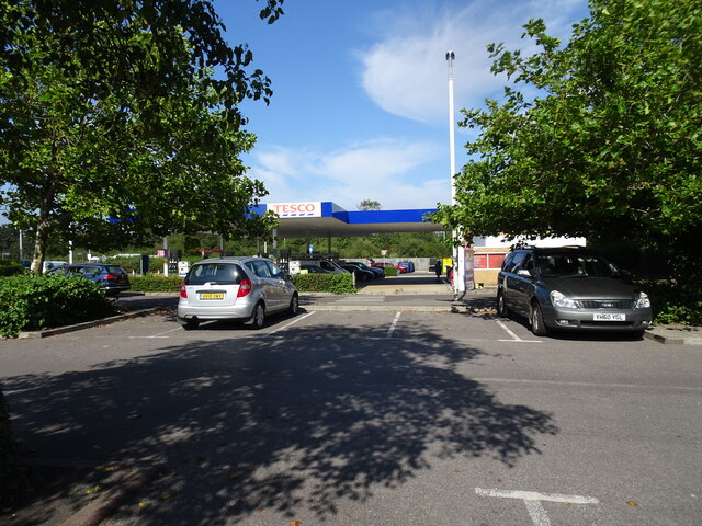
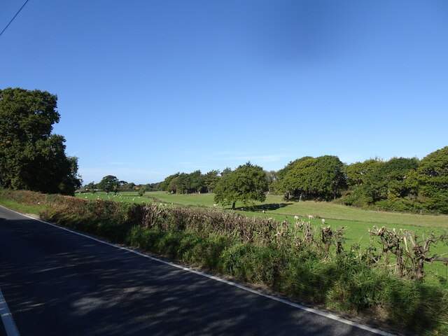
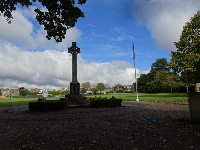
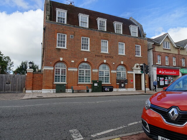
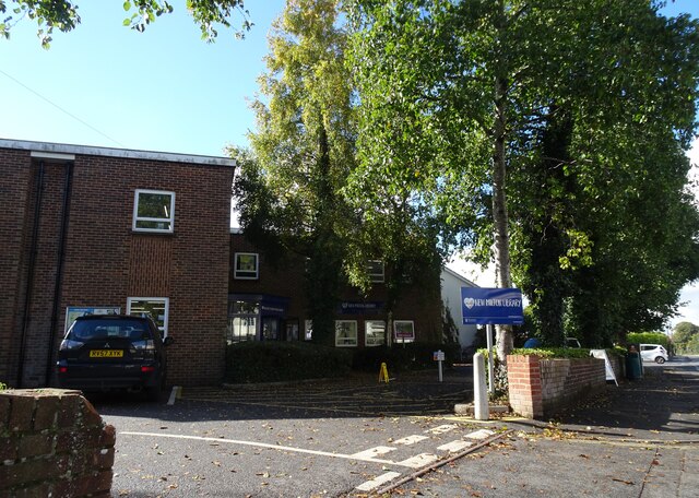
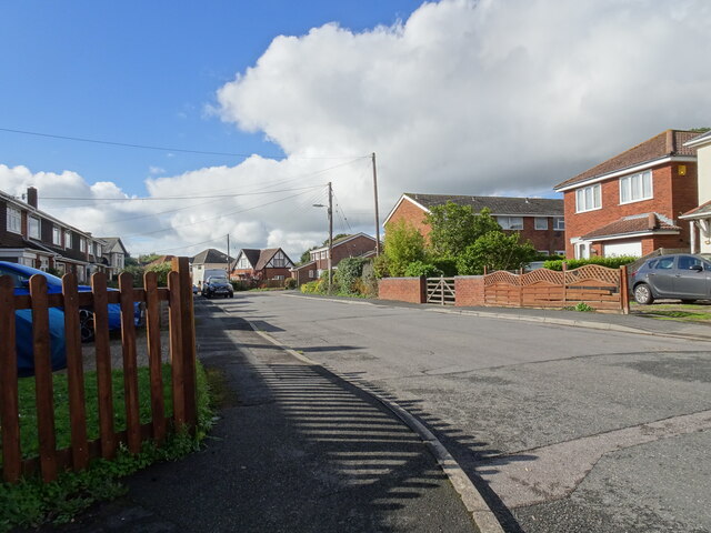
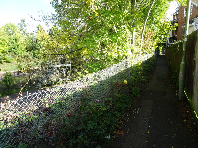
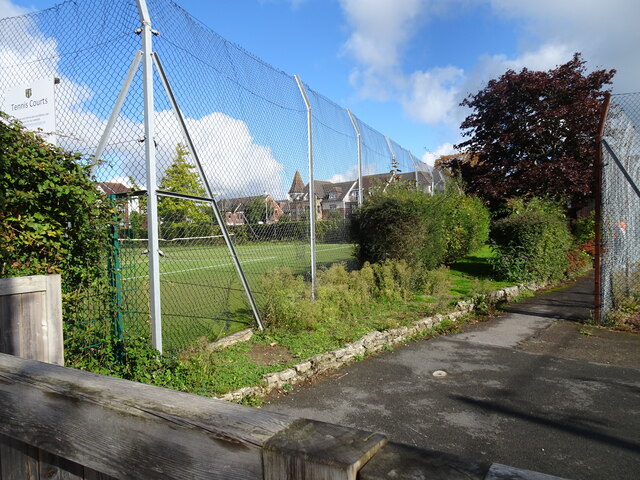
Ashley Images
Images are sourced within 2km of 50.759808/-1.635452 or Grid Reference SZ2595. Thanks to Geograph Open Source API. All images are credited.


Ashley is located at Grid Ref: SZ2595 (Lat: 50.759808, Lng: -1.635452)
Administrative County: Hampshire
District: New Forest
Police Authority: Hampshire
What 3 Words
///butternut.pigs.crouches. Near New Milton, Hampshire
Nearby Locations
Related Wikis

Ashley, New Forest
Ashley is a village located in the southwest of Hampshire, England. It lies on the eastern outskirts of New Milton in the New Forest district, and is two...

Hordle
Hordle is a village and civil parish in the county of Hampshire, England. It is situated between the Solent coast and the New Forest, and is bordered by...
New Milton
New Milton is a market town in southwest Hampshire, England. To the north is in the New Forest and to the south the coast at Barton-on-Sea. The town is...
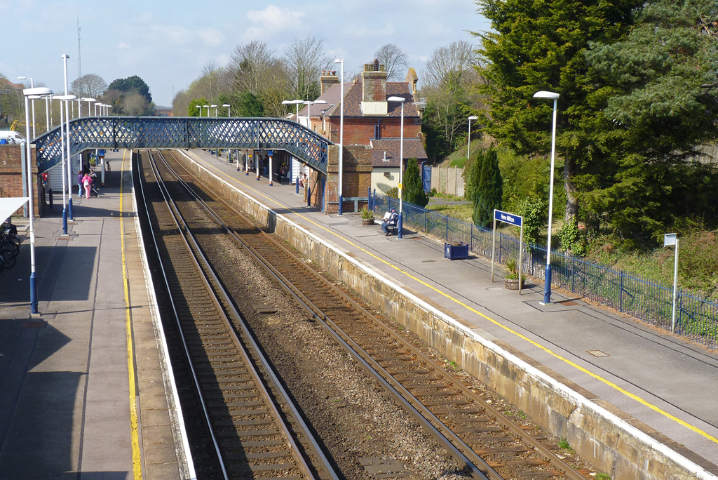
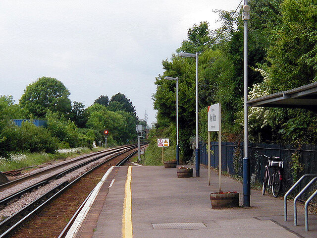
New Milton railway station
New Milton railway station serves the market town of New Milton in Hampshire, England. It is 98 miles 44 chains (158.6 km) down the line from London Waterloo...
Ballard School (New Milton)
Ballard School is a private, private school located in New Milton, Hampshire, for children aged 2 to 16 years. The Headmaster is Andrew McCleave (since...

Bashley F.C.
Bashley Football Club is a football club based in Bashley, near New Milton, Hampshire, England. They are currently members of the Southern League Division...

Tiptoe, Hampshire
Tiptoe is a small Hamlet in the New Forest National Park in Hampshire. It lies mostly within the civil parish of Hordle and partly within the civil parish...
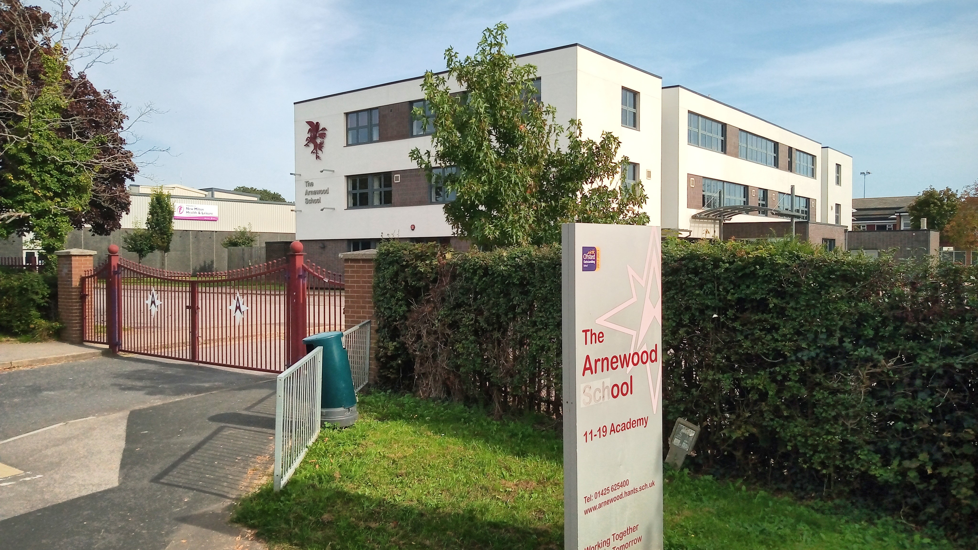
The Arnewood School
The Arnewood School is a mixed secondary school and sixth form located in New Milton in the English county of Hampshire.The school was converted to academy...
Nearby Amenities
Located within 500m of 50.759808,-1.635452Have you been to Ashley?
Leave your review of Ashley below (or comments, questions and feedback).