Gravel Hill Wood

Wood, Forest in Lincolnshire

England

Gravel Hill Wood

Farm track (footpath), heading north Towards the M180.
Farm track (footpath), heading north Credit: JThomas

Gravel Hill Wood is a picturesque woodland located in Lincolnshire, England. Covering an area of approximately 50 acres, it is known for its natural beauty and diverse range of flora and fauna. The wood is situated on a hill, which provides visitors with stunning panoramic views of the surrounding countryside.

The wood is predominantly composed of deciduous trees, including oak, beech, and birch, which create a dense canopy that filters sunlight, creating a cool and peaceful atmosphere. The forest floor is carpeted with a variety of wildflowers, such as bluebells and primroses, adding bursts of color to the landscape during springtime.

Gravel Hill Wood is home to a wide array of wildlife, making it a popular spot for nature enthusiasts. Birdwatchers can often spot species such as woodpeckers, warblers, and owls, while small mammals like squirrels and rabbits can be seen darting through the underbrush. The wood is also home to several species of deer, including roe deer and muntjac.

Visitors to Gravel Hill Wood can enjoy a range of activities, including walking trails and picnicking. The wood is crisscrossed by well-maintained paths, allowing visitors to explore its various nooks and crannies. There are also designated picnic areas where visitors can relax and enjoy a meal amidst the tranquil surroundings.

Gravel Hill Wood is a true gem of Lincolnshire, offering visitors a chance to connect with nature and escape the hustle and bustle of everyday life. Its natural beauty and rich biodiversity make it a must-visit destination for anyone seeking a peaceful and scenic woodland experience.

If you have any feedback on the listing, please let us know in the comments section below.

Gravel Hill Wood Images

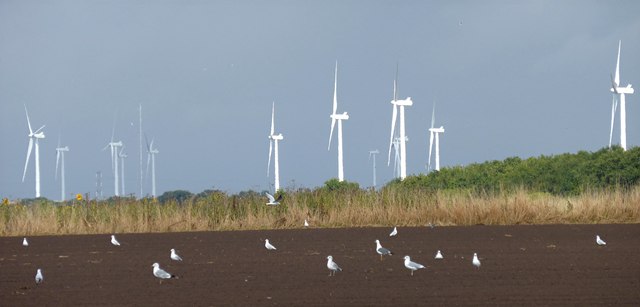
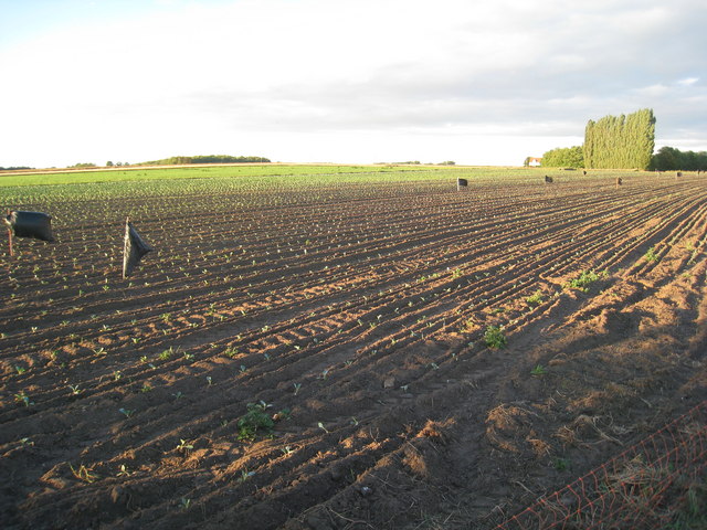
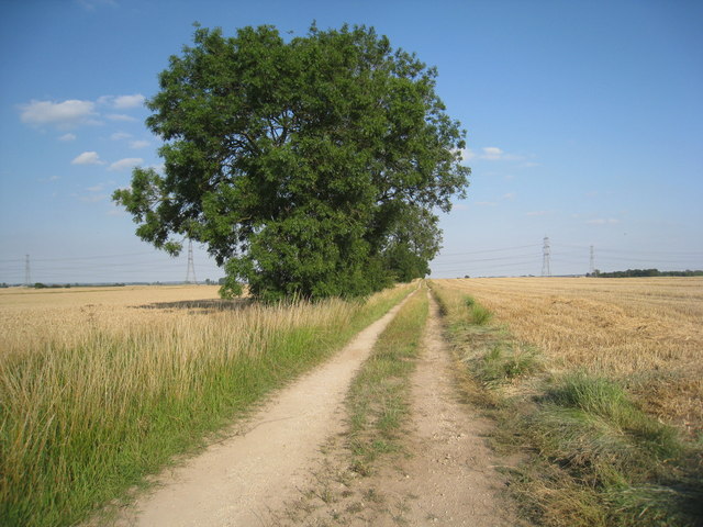
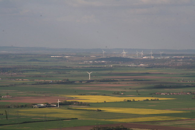
Images are sourced within 2km of 53.54465/-0.77341506 or Grid Reference SE8106. Thanks to Geograph Open Source API. All images are credited.

Farm track (footpath), heading north Towards the M180.
Farm track (footpath), heading north
Towards the M180.
Bridleway off Belton Road
Footpath to Belton near Faircroft
Bridleway sign beside a field of stubble
Turbines and gulls Gulls enjoying a meal in a recently ploughed field with the distant turbines of the Tween Bridge windfarm catching some afternoon sun
Turbines and gulls
Gulls enjoying a meal in a recently ploughed field with the distant turbines of the Tween Bridge windfarm catching some afternoon sun
Bales of straw  Neatly lined up in a field near Belton
Bales of straw
Neatly lined up in a field near Belton
Birds on The Wires - On Belton Road heading to Beltoft
Footpath to Mill Hill The footpath sign is now totally obscured by the growing copse!
Footpath to Mill Hill
The footpath sign is now totally obscured by the growing copse!
Lane to Faircroft
Lane to Faircroft
Newly planted brassicas Black plastic bin liners have usurped the role of the scarecrow.
Newly planted brassicas
Black plastic bin liners have usurped the role of the scarecrow.
Faircroft near Belton
Farm track near Beltoft Provides access to a few fields.
Farm track near Beltoft
Provides access to a few fields.
Roadside dyke and harvested field near Beltoft Most likely a field of barley.
Roadside dyke and harvested field near Beltoft
Most likely a field of barley.
Bridge over the M180 motorway near Beltoft
Beltoft pylons
Beltoft pylons
North Lincs wind turbine dominated landscape The latest addition seems to be this 100ft turbine in the foreground, at a Farm marked "Common Farm" on the map, but the application states "Butterwick Grange Farm, West Butterwick".
Behind it is the turbine by the M180 bridge (<a href="https://www.geograph.org.uk/photo/3448982">SE8307 : New wind turbine, near the M180 bridge</a>), and behind that the windfarm next to Normanby Hall Country Park (<a href="https://www.geograph.org.uk/photo/3448859">SE8813 : Scunthorpe north: aerial 2013</a>).
Just off shot to the right are turbines at two more locations just south of Scunthorpe, and to the left a big windfarm near Goole.
North Lincs wind turbine dominated landscape
The latest addition seems to be this 100ft turbine in the foreground, at a Farm marked "Common Farm" on the map, but the application states "Butterwick Grange Farm, West Butterwick". Behind it is the turbine by the M180 bridge (SE8307 : New wind turbine, near the M180 bridge), and behind that the windfarm next to Normanby Hall Country Park (SE8813 : Scunthorpe north: aerial 2013). Just off shot to the right are turbines at two more locations just south of Scunthorpe, and to the left a big windfarm near Goole.
M180 westbound by Moonfield Thick
M180 westbound near Buskey Wood
Show me another place!

Gravel Hill Wood is located at Grid Ref: SE8106 (Lat: 53.54465, Lng: -0.77341506)

Unitary Authority: North Lincolnshire

Police Authority: Humberside

What 3 Words

///best.entertainer.typically. Near Belton, Lincolnshire

Nearby Locations

Gravel Hill Wood

Related Wikis

Beltoft

Beltoft is a hamlet in the civil parish of Belton , North Lincolnshire, England. The village lies within the Isle of Axholme and is 4 miles (6 km) south...

Brigg and Goole (UK Parliament constituency)

Brigg and Goole is a constituency in Yorkshire and Lincolnshire represented in the House of Commons of the UK Parliament since 2010 by Andrew Percy, a...

Isle of Axholme Rural District

Isle of Axholme was a rural district in Lincolnshire, Parts of Lindsey from 1894 to 1974. It was formed under the Local Government Act 1894 based on the...

West Butterwick

West Butterwick is a village and civil parish in North Lincolnshire, England. It lies in the Isle of Axholme, approximately 4 miles (6 km) north-east...

Nearby Amenities

Located within 500m of 53.54465,-0.77341506
Power: tower
Lat/Long: 53.5450419/-0.7766688
Power: tower
Lat/Long: 53.54483/-0.7758189
Power: tower
Lat/Long: 53.5419259/-0.7780331
Power: tower
Lat/Long: 53.5414887/-0.7772852
Power: tower
Lat/Long: 53.5476082/-0.7745895
Power: tower
Lat/Long: 53.5478814/-0.7754014
Field Farm
Place: farm
Source: Bing
Lat/Long: 53.5466304/-0.7680402
The data included in this document is from www.openstreetmap.org. The data is made available under ODbL.

Have you been to Gravel Hill Wood?

Leave your review of Gravel Hill Wood below (or comments, questions and feedback).