Hartford, East

Settlement in Northumberland

England

Hartford, East

Houses on Newlyn Drive, Cramlington
Houses on Newlyn Drive, Cramlington Credit: Roger Cornfoot

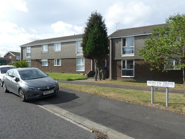
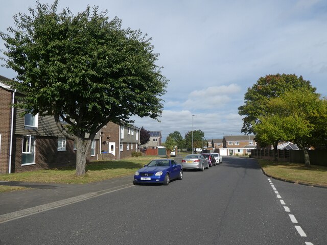
Hartford, East, Northumberland is a small village located in the county of Northumberland, England. Situated in the northern part of the country, it is nestled in the beautiful countryside and surrounded by picturesque landscapes. The village is part of the larger Hartford parish, which includes nearby settlements like Bedlington and Cramlington.

With a population of around 2,000 residents, Hartford is known for its tight-knit community and friendly atmosphere. The village is primarily residential, characterized by charming houses and cottages. The architecture reflects a mix of traditional and modern styles, showcasing the village's historical roots alongside contemporary developments.

Hartford benefits from its strategic location, offering easy access to major transportation routes. The nearby A1 road connects the village to neighboring towns and cities, making it convenient for commuting and travel. The village also boasts excellent public transportation links, with regular bus services connecting Hartford to the wider Northumberland region.

In terms of amenities, Hartford provides essential facilities for its residents. These include a primary school, a community center, and a local convenience store. The village also features several recreational spaces, such as parks and green areas, where residents can enjoy outdoor activities and leisurely walks.

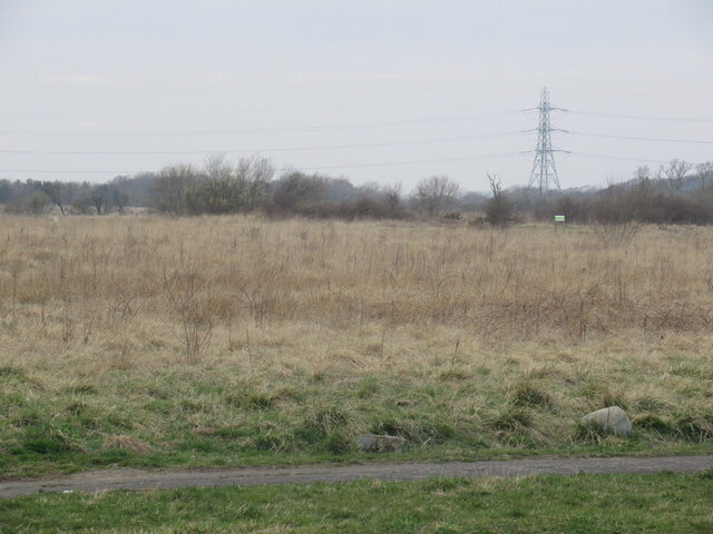
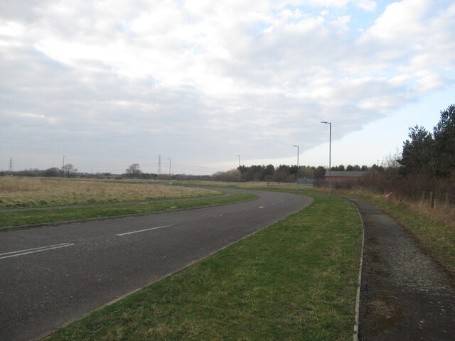
Additionally, Hartford is surrounded by natural beauty, with the Northumberland countryside providing ample opportunities for outdoor enthusiasts. The area is known for its scenic walking and cycling trails, offering breathtaking views of the surrounding landscapes.

Overall, Hartford, East, Northumberland offers a tranquil and close-knit community within a beautiful rural setting, making it an appealing place to live for those seeking a peaceful lifestyle in the heart of Northumberland.

If you have any feedback on the listing, please let us know in the comments section below.

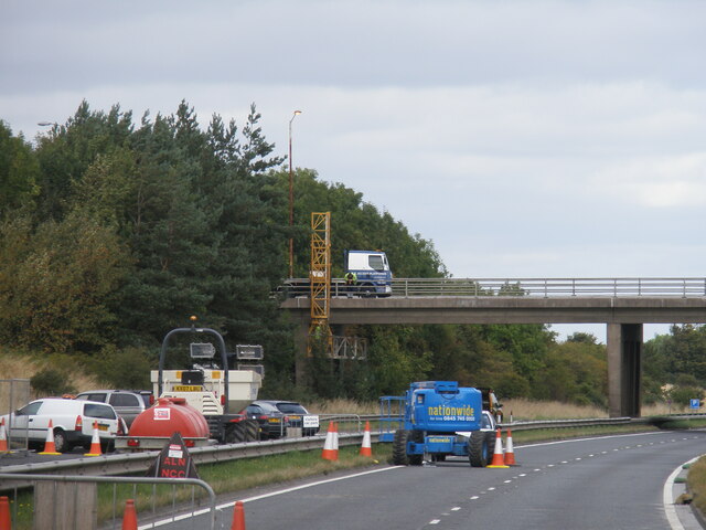
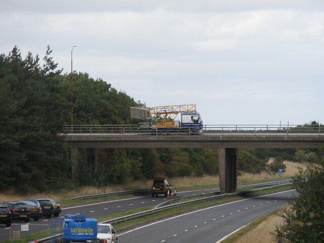
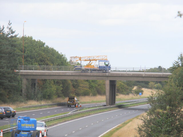
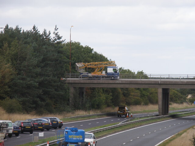
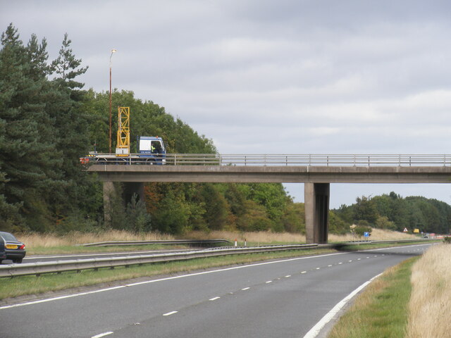
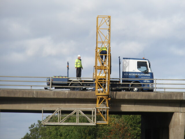
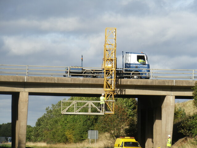
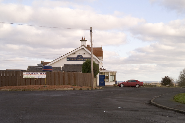
Hartford, East Images

Images are sourced within 2km of 55.108225/-1.582389 or Grid Reference NZ2679. Thanks to Geograph Open Source API. All images are credited.

Houses on Newlyn Drive, Cramlington
Newlyn Drive, Cramlington
Undeveloped land, West Hartford Future expansion of Cramlington with a blocked service road and so far only the fire station built.
Undeveloped land, West Hartford
Future expansion of Cramlington with a blocked service road and so far only the fire station built.
Road, West Hartford Servicing a site which awaits development.
Road, West Hartford
Servicing a site which awaits development.
Fire station, Cramlington On the mostly undeveloped West Hartford site and close to a roundabout on the A192.
Fire station, Cramlington
On the mostly undeveloped West Hartford site and close to a roundabout on the A192.
Shankhouse Roundabout (A189), Cramlington, Northumberland <a href="https://www.geograph.org.uk/photo/7332989">NZ2779 : Shankhouse Roundabout (A189), Cramlington, Northumberland</a>
Inspection survey of the northern bridge of Shankhouse Roundabout using a mobile access platform on the 25th September 2009.
Shankhouse Roundabout (A189), Cramlington, Northumberland
NZ2779 : Shankhouse Roundabout (A189), Cramlington, Northumberland Inspection survey of the northern bridge of Shankhouse Roundabout using a mobile access platform on the 25th September 2009.
Shankhouse Roundabout (A189), Cramlington, Northumberland Inspection survey of northern bridge of Shankhouse Roundabout using a mobile access platform on the 25th September 2009.
Shankhouse Roundabout (A189), Cramlington, Northumberland
Inspection survey of northern bridge of Shankhouse Roundabout using a mobile access platform on the 25th September 2009.
Shankhouse Roundabout (A189), Cramlington, Northumberland <a href="https://www.geograph.org.uk/photo/7332989">NZ2779 : Shankhouse Roundabout (A189), Cramlington, Northumberland</a>
Shankhouse Roundabout (A189), Cramlington, Northumberland
Entrance, Attlee Park, Bedlington The park, which forms part of the Bedlington Country Park and boasts this small stone and mosaic entrance, was named after Clement Richard Attlee, Labour Party Leader from 1935 to 1955, and Prime Minister between 1945 and 1951. For many years  the Northumberland Miners Picnic was held on a large grassed area close to this entrance.
Entrance, Attlee Park, Bedlington
The park, which forms part of the Bedlington Country Park and boasts this small stone and mosaic entrance, was named after Clement Richard Attlee, Labour Party Leader from 1935 to 1955, and Prime Minister between 1945 and 1951. For many years the Northumberland Miners Picnic was held on a large grassed area close to this entrance.
Bandstand, Attlee Park, Bedlington The bandstand occupies part of the large grassed area in Attlee Park which for many years hosted the Northumberland Miners Picnic. The bandstand was given a £60,000 makeover in 2014 with the colourful painted mural designed by young people from the area. The Wansbeck MP and former National Union of Mineworkers’ leader Ian Lavery, cut the red ribbon to officially open the refurbished bandstand on 21 June 2014.
Bandstand, Attlee Park, Bedlington
The bandstand occupies part of the large grassed area in Attlee Park which for many years hosted the Northumberland Miners Picnic. The bandstand was given a £60,000 makeover in 2014 with the colourful painted mural designed by young people from the area. The Wansbeck MP and former National Union of Mineworkers’ leader Ian Lavery, cut the red ribbon to officially open the refurbished bandstand on 21 June 2014.
Weather Vane, Attlee Park Bandstand, Bedlington This very attractive weather vane sits on top of the Bandstand in Attlee Park <a title="https://www.geograph.org.uk/photo/7296805," href="https://www.geograph.org.uk/photo/7296805,">Link</a> and contains (appropriately) images of a miners lamp and a steam train with coal tender.
Weather Vane, Attlee Park Bandstand, Bedlington
This very attractive weather vane sits on top of the Bandstand in Attlee Park Link and contains (appropriately) images of a miners lamp and a steam train with coal tender.
Gateway Feature, Bedlington Country Park In 2017, four gateway features were chosen to be placed at strategic points for visitors to see as they entered the town by road. All are inextricably linked by their commercial, religious or social heritage to the town. At this entrance to the town near Bedlington Bridge and the River Blyth is a scale replica of the first steam train in Holland (1839), 'De Arend', a train which was built in Bedlington by R. B. Longridge and Company. A 1939-built replica of the train is on display in the Dutch Railway Museum in Utrecht. The other three gateway features consist of a Bedlington Terrier, a St. Cuthbert's Cross and the Bedlington Coat of Arms.
Gateway Feature, Bedlington Country Park
In 2017, four gateway features were chosen to be placed at strategic points for visitors to see as they entered the town by road. All are inextricably linked by their commercial, religious or social heritage to the town. At this entrance to the town near Bedlington Bridge and the River Blyth is a scale replica of the first steam train in Holland (1839), 'De Arend', a train which was built in Bedlington by R. B. Longridge and Company. A 1939-built replica of the train is on display in the Dutch Railway Museum in Utrecht. The other three gateway features consist of a Bedlington Terrier, a St. Cuthbert's Cross and the Bedlington Coat of Arms.
The Three Horse Shoes The Three Horse Shoes public house, Hathery Lane, High Horton, Blyth, Northumberland.
The Three Horse Shoes
The Three Horse Shoes public house, Hathery Lane, High Horton, Blyth, Northumberland.
Sewage Works, East Hartford The approach to the Northumbria Water sewage treatment works at East Hartford, Blyth, Northumberland.
Sewage Works, East Hartford
The approach to the Northumbria Water sewage treatment works at East Hartford, Blyth, Northumberland.
Show me another place!

Hartford, East is located at Grid Ref: NZ2679 (Lat: 55.108225, Lng: -1.582389)

Unitary Authority: Northumberland

Police Authority: Northumbria

What 3 Words

///drumbeat.declining.liver. Near Cramlington, Northumberland

Related Wikis

Horton, Blyth

Horton is a former civil parish, now in the parish of Blyth, in Northumberland, England, about 2 miles (3 km) west of Blyth, and south of the River Blyth...

Bedlington Ironworks

Bedlington Ironworks, in Blyth Dene, Northumberland, England, operated between 1736 and 1867. It is most remembered as the place where wrought iron rails...

Bebside

Bebside is a village and former civil parish, now in the parish of Blyth, in Northumberland, in England. It is situated to the west of Blyth. It was formerly...

Parkside Middle School, Cramlington

Parkside Middle School was a school in Cramlington, United Kingdom from its foundation in 1909 until 2008, when it closed as middle school functions in...

Bedlington Terriers F.C.

Bedlington Terriers Football Club is a football club based in Bedlington, England. The club are currently members of the Northern League Division Two and...

Cramlington railway station

Cramlington is a railway station on the East Coast Main Line, which runs between London King's Cross and Edinburgh Waverley. The station, situated 9 miles...

Bebside railway station

Bebside railway station was a railway station that served the village of Bebside in Northumberland, North East England from 1850 to 1964. It is proposed...

Bedlington

Bedlington is a town and former civil parish in Northumberland, England, with a population of 18,470 measured at the 2011 Census.Bedlington is an ancient...

Nearby Amenities

Located within 500m of 55.108225,-1.582389
Traffic Calming: cushion
Lat/Long: 55.1048525/-1.5819511
East Hartford
Place: village
Lat/Long: 55.1061561/-1.5811946
Bus Stop
Naptan AtcoCode: 3100Z267792
Naptan NaptanCode: nldgatwg
Lat/Long: 55.1065263/-1.5819278
Barrier: stile
Lat/Long: 55.1075765/-1.5790341
Barrier: stile
Lat/Long: 55.1078059/-1.5787416
Barrier: stile
Lat/Long: 55.1077494/-1.5787973
Note: Route beyond ford is very uncertain, could just be a 4x4 access from the WWTW to an old lift pump.
Lat/Long: 55.1101568/-1.5771764
Bus Stop
Lat/Long: 55.1051108/-1.5813056
Ford: yes
Lat/Long: 55.110182/-1.5773275
Power: tower
Lat/Long: 55.1120627/-1.5858583
Power: tower
Source: Bing
Lat/Long: 55.1074824/-1.5898215
Power: tower
Source: Bing
Lat/Long: 55.1125936/-1.582239
Power: tower
Source: Bing
Lat/Long: 55.1123895/-1.5830226
Power: tower
Source: Bing
Lat/Long: 55.1094336/-1.5875308
Power: tower
Source: Bing
Lat/Long: 55.1103695/-1.5862393
Power: tower
Source: Bing
Lat/Long: 55.1101444/-1.5861431
Power: tower
Source: Bing
Lat/Long: 55.1088113/-1.5879853
Power: pole
Source: Bing
Lat/Long: 55.1056248/-1.5765264
Power: pole
Source: Bing
Lat/Long: 55.1066339/-1.575763
Power: pole
Source: Bing
Lat/Long: 55.1070091/-1.5764543
Public Footpath
Hiking: yes
Information: guidepost
Source: survey
Tourism: information
Lat/Long: 55.1071744/-1.5765762
Barrier: kissing_gate
Source: survey
Lat/Long: 55.1076663/-1.5782762
Post Box
Collection Times: Mo-Fr 09:00; Sa 07:00
Post Box Type: wall
Postal Code: NE23 3AW
Ref: NE23 472D
Royal Cypher: EIIR
Royal Cypher Wikidata: Q33102113
Lat/Long: 55.1066497/-1.582095
Recycling
Recycling Clothes: yes
Recycling Type: container
Source: survey
Lat/Long: 55.1049239/-1.5822096
Traffic Calming: cushion
Lat/Long: 55.1040913/-1.5802134
Traffic Calming: cushion
Lat/Long: 55.1044606/-1.5809249
Give Way
Direction: forward
Lat/Long: 55.1048442/-1.581687
Power: tower
Source: Bing
Lat/Long: 55.1111556/-1.5851325
Power: tower
Source: Bing
Lat/Long: 55.1111806/-1.5847113
Power: tower
Source: Bing
Lat/Long: 55.1123879/-1.5830429
The data included in this document is from www.openstreetmap.org. The data is made available under ODbL.

Have you been to Hartford, East?

Leave your review of Hartford, East below (or comments, questions and feedback).