Blackmore Copse
Wood, Forest in Hampshire Hart
England
Blackmore Copse
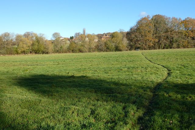
Blackmore Copse is a scenic woodland located in the county of Hampshire, England. Situated near the village of Blackmore, it spans across an area of approximately 100 acres. The copse is known for its abundant natural beauty, offering visitors a tranquil and serene environment.
The woodland is characterized by a diverse range of tree species, including oak, beech, and ash trees, which form a dense canopy overhead. This creates a shaded and cool atmosphere, making it an ideal destination for nature lovers and those seeking respite from the summer heat.
Blackmore Copse is home to a rich biodiversity, harboring a variety of wildlife species. Visitors may encounter small mammals like rabbits and hedgehogs, as well as a multitude of bird species such as woodpeckers and finches. The copse also boasts a vibrant insect population, with butterflies and bees fluttering among the wildflowers.
Several well-maintained walking trails traverse the copse, allowing visitors to explore its beauty at their own pace. These trails are suitable for both casual strolls and more adventurous hikes, offering something for everyone. Along the way, visitors can admire the picturesque scenery, including a small stream that meanders through the woodland.
Blackmore Copse is a popular destination for outdoor enthusiasts, offering opportunities for activities such as birdwatching, photography, and picnicking. It is also a valuable educational resource, providing a hands-on learning experience for school groups and nature enthusiasts interested in studying woodland ecosystems.
Overall, Blackmore Copse is a hidden gem in Hampshire, offering a peaceful retreat amidst nature's splendor. Its diverse flora and fauna, coupled with its well-maintained trails, make it a must-visit destination for anyone seeking a connection with the natural world.
If you have any feedback on the listing, please let us know in the comments section below.
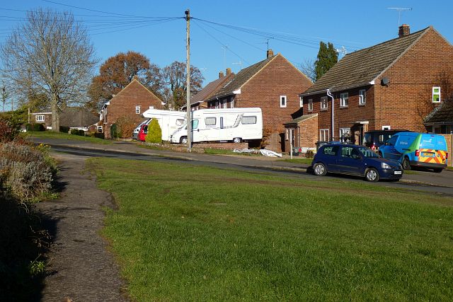
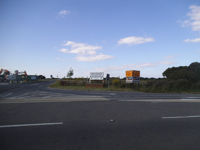
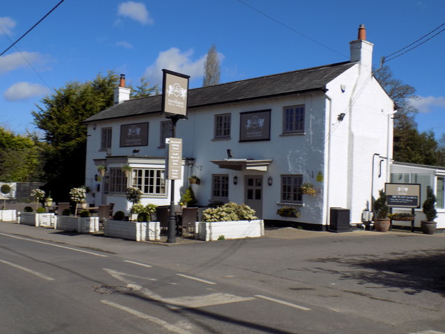
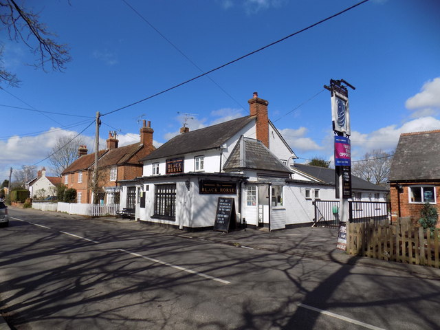
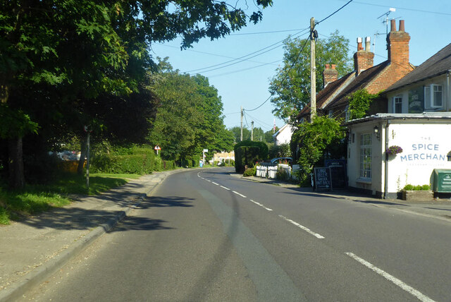
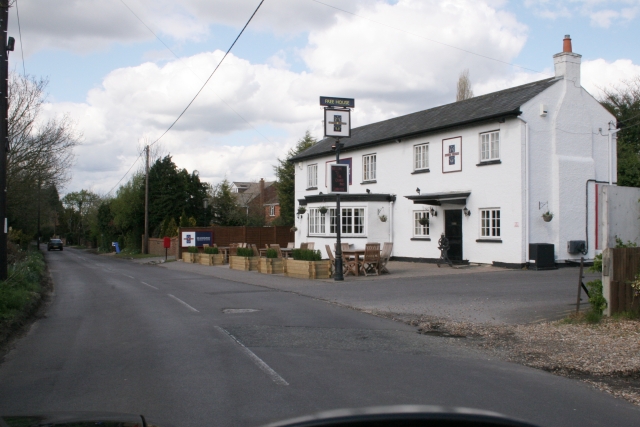
Blackmore Copse Images
Images are sourced within 2km of 51.251464/-0.84813422 or Grid Reference SU8050. Thanks to Geograph Open Source API. All images are credited.


Blackmore Copse is located at Grid Ref: SU8050 (Lat: 51.251464, Lng: -0.84813422)
Administrative County: Hampshire
District: Hart
Police Authority: Hampshire
What 3 Words
///taker.haggling.teaching. Near Crondall, Hampshire
Nearby Locations
Related Wikis

St Nicholas' School, Hampshire
St Nicholas' School is a private day school for girls in Church Crookham, a village at the southern edge of Fleet, Hampshire, England. The school educates...
Queen Elizabeth Barracks, Church Crookham
Queen Elizabeth Barracks was a military installation at Church Crookham, Hampshire, England. == History == The barracks, which were originally known as...
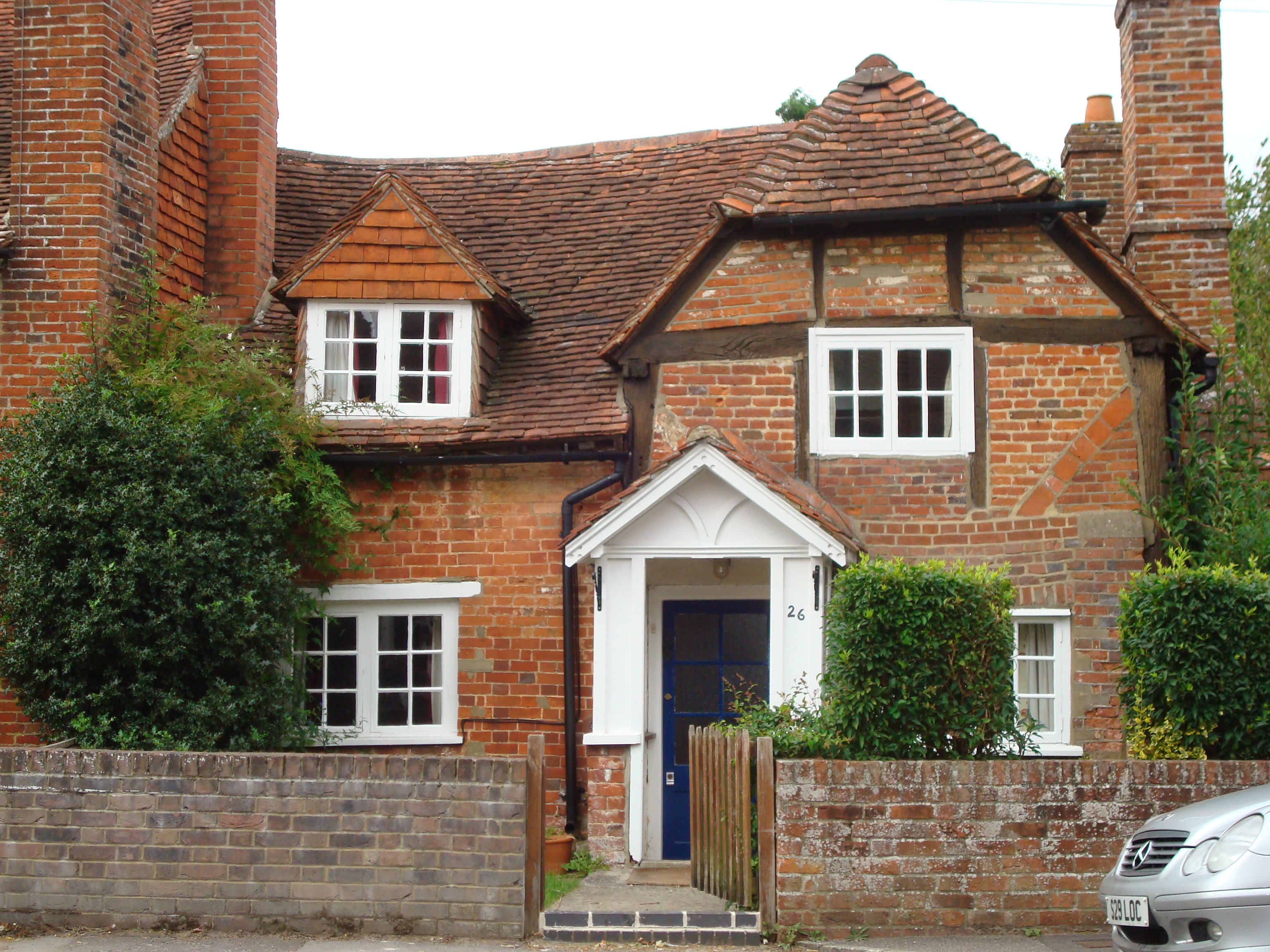
Church Crookham
Church Crookham is a large suburban village and civil parish, contiguous with the town of Fleet, in northeast Hampshire, England. It is 38 miles (61 km...
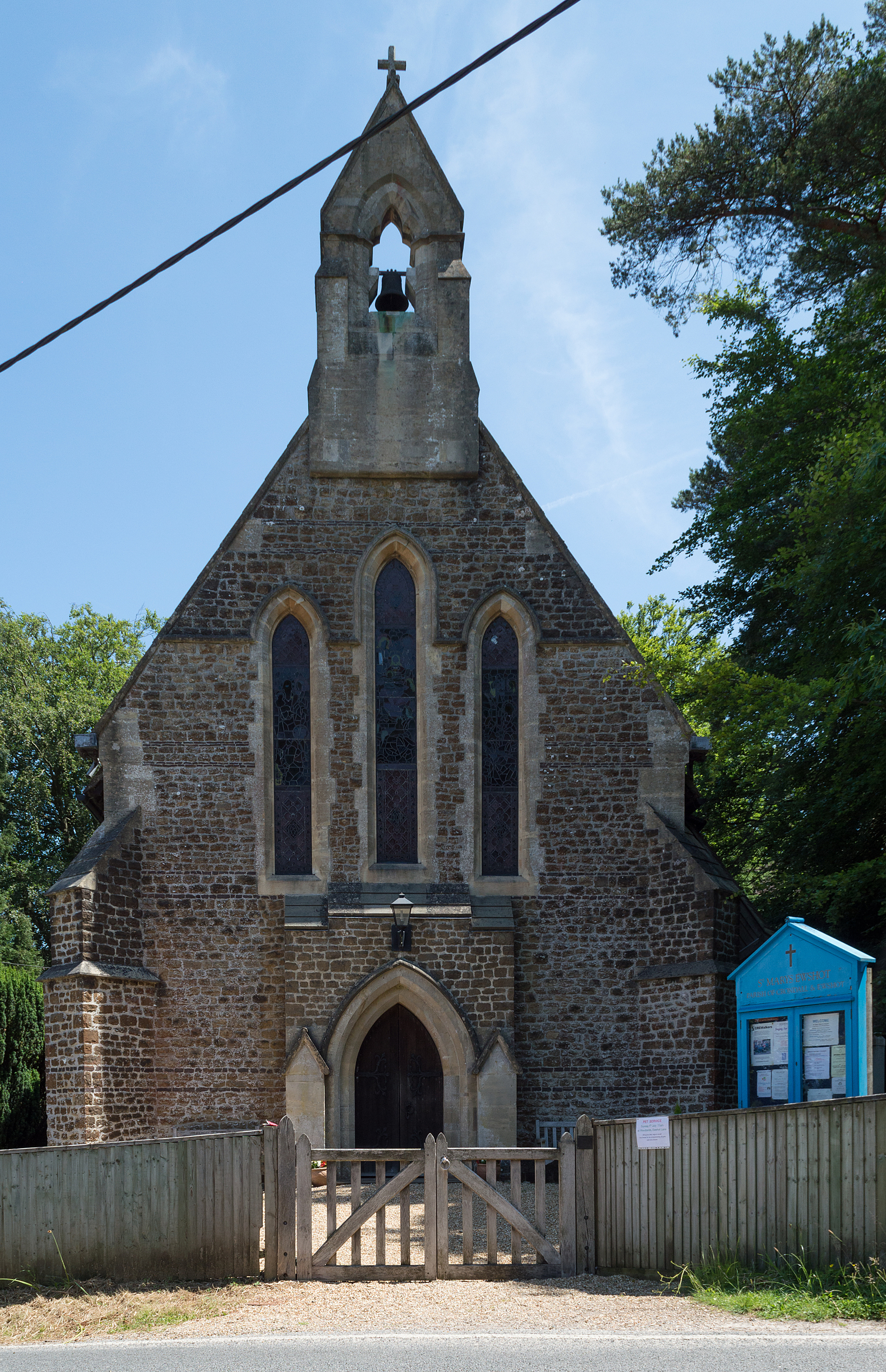
Ewshot
Ewshot is a village and civil parish in Hampshire, England. It lies in the north east of the county, close to the Surrey border. The name Ewshot comes...
Court Moor School
Court Moor School is one of two secondary schools in the town of Fleet, in Hampshire (UK) for pupils aged 11–16. == History == The 15.7-acre (64,000 m2...
Mill Lane, Hampshire
Mill Lane is a hamlet in Hampshire, England. Its nearest town is Fleet approximately 2.5 miles away. The hamlet lies on the A287 road between Odiham and...
Crondall
Crondall () is a village and large civil parish in the north east of Hampshire in England, in the Crondall Hundred surveyed in the Domesday Book of 1086...
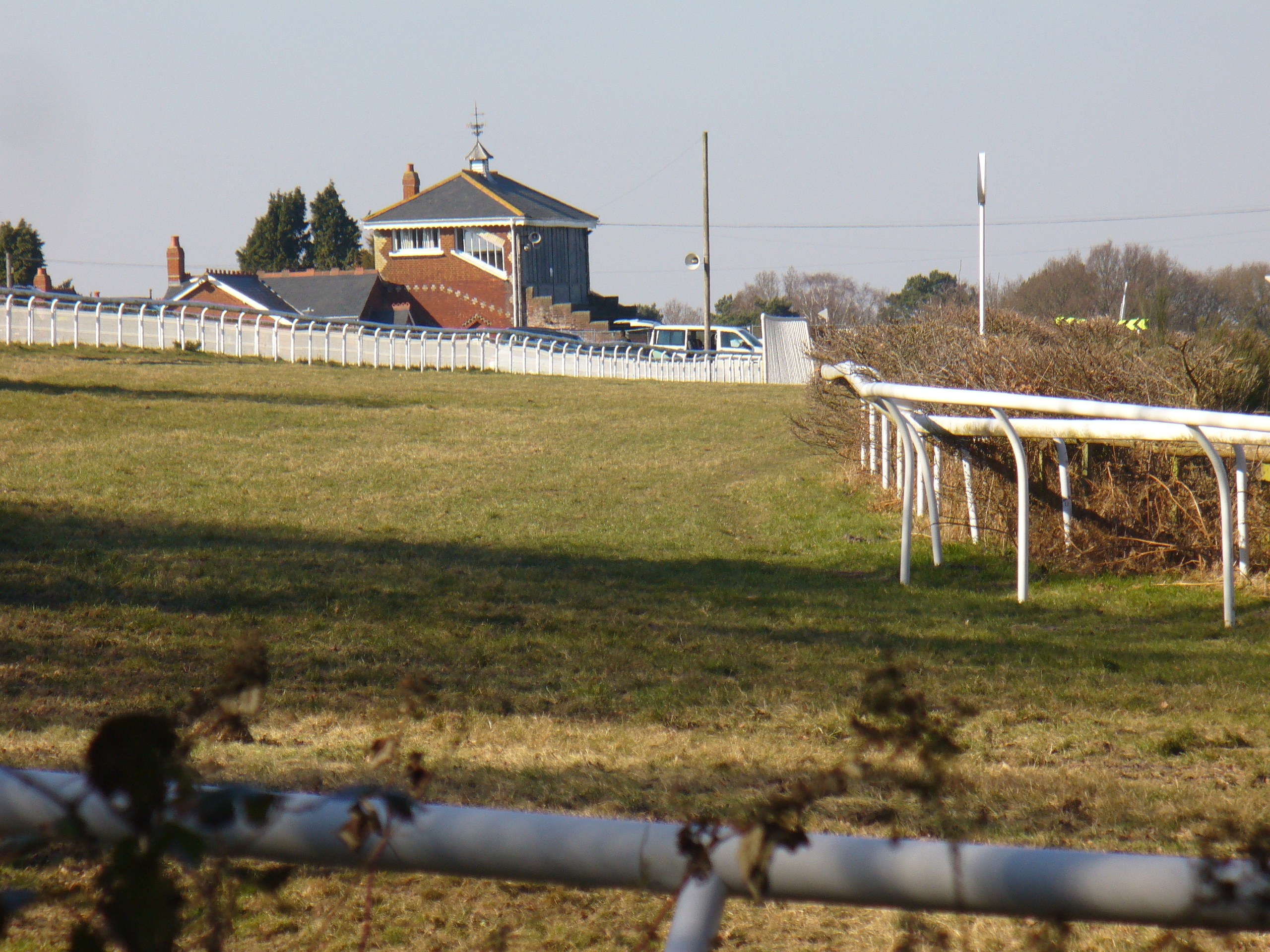
Tweseldown Racecourse
Tweseldown Racecourse southeast of Fleet, Hampshire was originally a National Hunt steeplechasing venue and the home of the equestrian dressage and eventing...
Nearby Amenities
Located within 500m of 51.251464,-0.84813422Have you been to Blackmore Copse?
Leave your review of Blackmore Copse below (or comments, questions and feedback).