Cranesclose Spinney

Wood, Forest in Leicestershire Harborough

England

Cranesclose Spinney

In Hallaton, Leicestershire With the famous butter cross to the right and the village's war memorial to the left. The cross is thought to date from the 17th century, with
modern repairs and refacing, and marks the past location of the weekly village
market. Contemporary documentary sources show that a market was first granted
in 1224, which is believed to have lapsed by the late 17th century but was
revived in 1767. The monument is clearly depicted in an 18th century engraving
and described as 'the town cross'. (from Ancient Monuments website)
In Hallaton, Leicestershire Credit: Neil Theasby

Cranesclose Spinney is a beautiful woodland area located in Leicestershire, England. Stretching across an approximate area of 50 acres, this spinney is a haven for nature lovers and outdoor enthusiasts. It is situated near the village of Cranoe and is easily accessible from the nearby town of Market Harborough.

The spinney is predominantly made up of a mix of deciduous trees, including oak, ash, and birch. These trees provide a rich and diverse habitat for a variety of flora and fauna. In spring, the woodland floor is covered in a vibrant carpet of bluebells, creating a breathtaking sight for visitors.

Cranesclose Spinney is also home to a wide range of wildlife. Birdwatchers can spot a variety of species, including woodpeckers, owls, and various songbirds. The spinney is also home to small mammals such as squirrels, badgers, and foxes, which can be spotted if one is lucky.

The spinney is a popular destination for recreational activities such as walking, hiking, and picnicking. It offers a network of well-maintained footpaths that wind through the woodland, allowing visitors to explore its beauty at their own pace. There are also designated picnic areas where visitors can relax and enjoy the peaceful surroundings.

Cranesclose Spinney is a true gem in Leicestershire, offering a tranquil escape from the hustle and bustle of everyday life. Whether you are a nature enthusiast, a wildlife lover, or simply looking for a peaceful retreat, this woodland is definitely worth a visit.

If you have any feedback on the listing, please let us know in the comments section below.

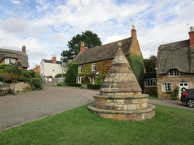
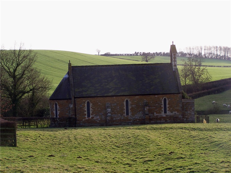
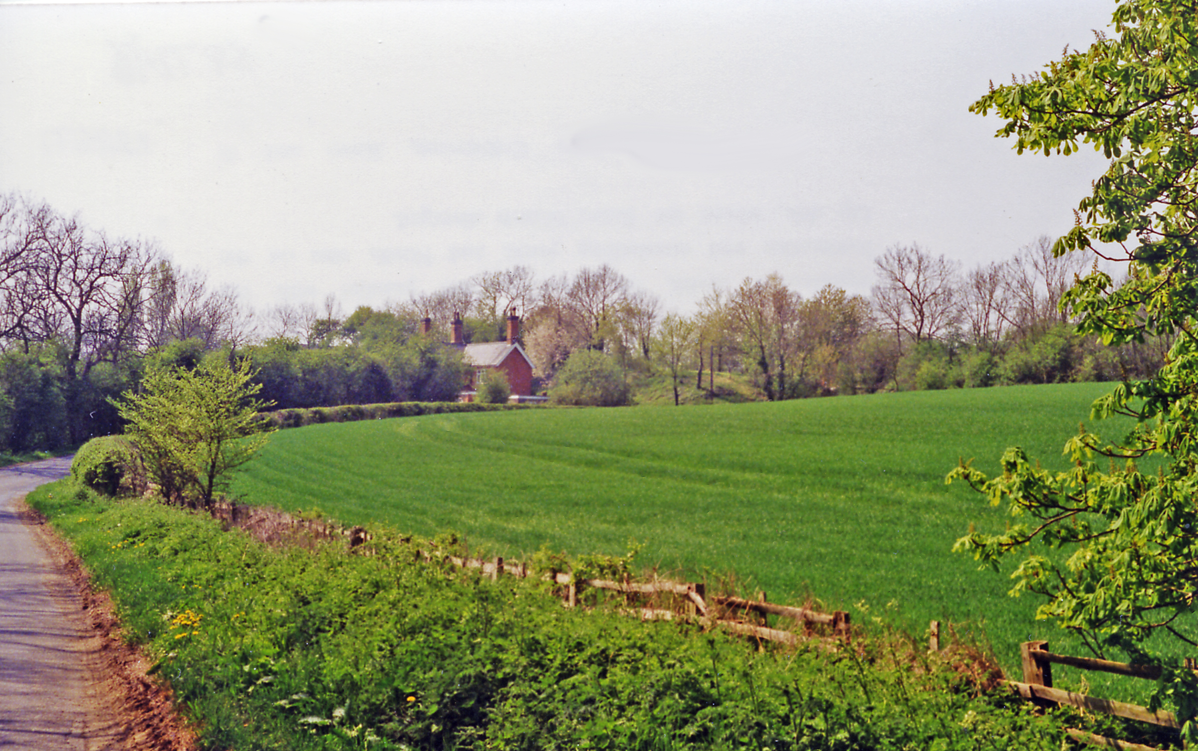
Cranesclose Spinney Images

Images are sourced within 2km of 52.555696/-0.81649991 or Grid Reference SP8095. Thanks to Geograph Open Source API. All images are credited.

In Hallaton, Leicestershire With the famous butter cross to the right and the village's war memorial to the left. The cross is thought to date from the 17th century, with
modern repairs and refacing, and marks the past location of the weekly village
market. Contemporary documentary sources show that a market was first granted
in 1224, which is believed to have lapsed by the late 17th century but was
revived in 1767. The monument is clearly depicted in an 18th century engraving
and described as 'the town cross'. (from Ancient Monuments website)
In Hallaton, Leicestershire
With the famous butter cross to the right and the village's war memorial to the left. The cross is thought to date from the 17th century, with modern repairs and refacing, and marks the past location of the weekly village market. Contemporary documentary sources show that a market was first granted in 1224, which is believed to have lapsed by the late 17th century but was revived in 1767. The monument is clearly depicted in an 18th century engraving and described as 'the town cross'. (from Ancient Monuments website)
Hallaton: Looking along Eastgate to St Michael's Church
View to "The Fox Inn", Hallaton
Churchgate, Hallaton
The buttercross in Hallaton Once this unusual structure would have been at the heart of weekly markets in Hallaton.
The buttercross in Hallaton
Once this unusual structure would have been at the heart of weekly markets in Hallaton.
The Conduit, Hallaton Possibly dates from the sixteenth century <span class="nowrap"><a title="https://historicengland.org.uk/listing/the-list/list-entry/1186770?section=official-list-entry" rel="nofollow ugc noopener" href="https://historicengland.org.uk/listing/the-list/list-entry/1186770?section=official-list-entry">Link</a><img style="margin-left:2px;" alt="External link" title="External link - shift click to open in new window" src="https://s1.geograph.org.uk/img/external.png" width="10" height="10"/></span>
The Conduit, Hallaton
Possibly dates from the sixteenth century LinkExternal link
Charity housing, North End, Hallaton Built by the Isabella Stenning Charity in 1924.
Charity housing, North End, Hallaton
Built by the Isabella Stenning Charity in 1924.
Farm track near Hallaton This climbs up the embankment which used to carry the Great Northern and London and North Western Joint Railway,
Farm track near Hallaton
This climbs up the embankment which used to carry the Great Northern and London and North Western Joint Railway,
Cottages, High Street, Hallaton The house on the extreme right is 43 High Street and dates from the mid eighteenth century <span class="nowrap"><a title="https://historicengland.org.uk/listing/the-list/list-entry/1186760?section=official-list-entry" rel="nofollow ugc noopener" href="https://historicengland.org.uk/listing/the-list/list-entry/1186760?section=official-list-entry">Link</a><img style="margin-left:2px;" alt="External link" title="External link - shift click to open in new window" src="https://s1.geograph.org.uk/img/external.png" width="10" height="10"/></span> It demonstrates that red brick is not a recent innovation in a largely ironstone village.
Cottages, High Street, Hallaton
The house on the extreme right is 43 High Street and dates from the mid eighteenth century LinkExternal link It demonstrates that red brick is not a recent innovation in a largely ironstone village.
31 High Street, Hallaton Eighteenth century farmhouse <span class="nowrap"><a title="https://historicengland.org.uk/listing/the-list/list-entry/1360647?section=official-list-entry" rel="nofollow ugc noopener" href="https://historicengland.org.uk/listing/the-list/list-entry/1360647?section=official-list-entry">Link</a><img style="margin-left:2px;" alt="External link" title="External link - shift click to open in new window" src="https://s1.geograph.org.uk/img/external.png" width="10" height="10"/></span>
31 High Street, Hallaton
Eighteenth century farmhouse LinkExternal link
29 High Street, Hallaton Eighteenth century cottage <span class="nowrap"><a title="https://historicengland.org.uk/listing/the-list/list-entry/1061682?section=official-list-entry" rel="nofollow ugc noopener" href="https://historicengland.org.uk/listing/the-list/list-entry/1061682?section=official-list-entry">Link</a><img style="margin-left:2px;" alt="External link" title="External link - shift click to open in new window" src="https://s1.geograph.org.uk/img/external.png" width="10" height="10"/></span>
29 High Street, Hallaton
Eighteenth century cottage LinkExternal link
22 High Street, Hallaton Surprisingly doesn't seem to be listed.
22 High Street, Hallaton
Surprisingly doesn't seem to be listed.
Houses, High Street, Hallaton Bear a fatestone 1923.
Houses, High Street, Hallaton
Bear a fatestone 1923.
6 High Street, Hallaton Eighteenth century house <span class="nowrap"><a title="https://historicengland.org.uk/listing/the-list/list-entry/1186774?section=official-list-entry" rel="nofollow ugc noopener" href="https://historicengland.org.uk/listing/the-list/list-entry/1186774?section=official-list-entry">Link</a><img style="margin-left:2px;" alt="External link" title="External link - shift click to open in new window" src="https://s1.geograph.org.uk/img/external.png" width="10" height="10"/></span>
6 High Street, Hallaton
Eighteenth century house LinkExternal link
2 High Street, Hallaton The nearest part dates from the early eighteenth century <span class="nowrap"><a title="https://historicengland.org.uk/listing/the-list/list-entry/1061684?section=official-list-entry" rel="nofollow ugc noopener" href="https://historicengland.org.uk/listing/the-list/list-entry/1061684?section=official-list-entry">Link</a><img style="margin-left:2px;" alt="External link" title="External link - shift click to open in new window" src="https://s1.geograph.org.uk/img/external.png" width="10" height="10"/></span> The timbering in the gable suggests that this was originally a single storey dwelling.
2 High Street, Hallaton
The nearest part dates from the early eighteenth century LinkExternal link The timbering in the gable suggests that this was originally a single storey dwelling.
Thatched cottages, High Street, Hallaton Not listed.
Thatched cottages, High Street, Hallaton
Not listed.
War Memorial, Hallaton
Butter Cross, Hallaton Probably dates from the seventeenth century <span class="nowrap"><a title="https://historicengland.org.uk/listing/the-list/list-entry/1017498?section=official-list-entry" rel="nofollow ugc noopener" href="https://historicengland.org.uk/listing/the-list/list-entry/1017498?section=official-list-entry">Link</a><img style="margin-left:2px;" alt="External link" title="External link - shift click to open in new window" src="https://s1.geograph.org.uk/img/external.png" width="10" height="10"/></span>
Butter Cross, Hallaton
Probably dates from the seventeenth century LinkExternal link
Show me another place!

Cranesclose Spinney is located at Grid Ref: SP8095 (Lat: 52.555696, Lng: -0.81649991)

Administrative County: Leicestershire

District: Harborough

Police Authority: Leicestershire

What 3 Words

///natural.pardon.palettes. Near Cottingham, Northamptonshire

Related Wikis

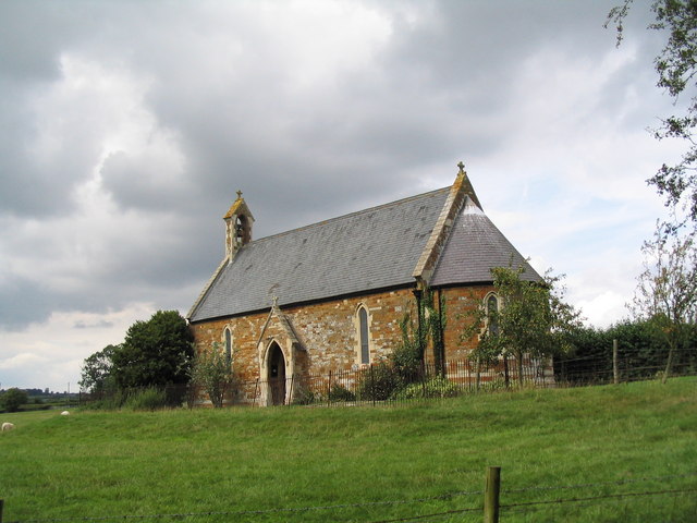
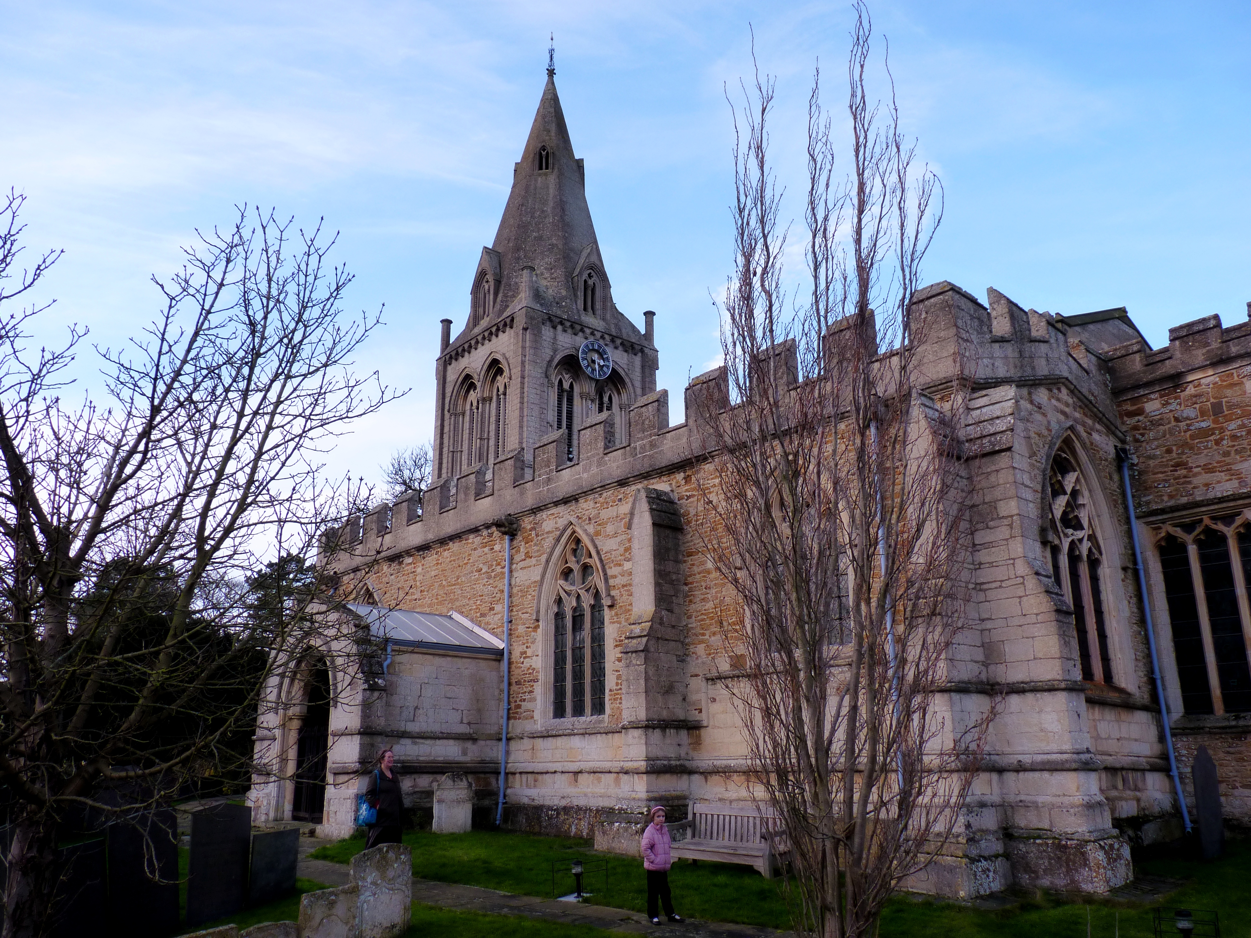
St Giles' Church, Blaston

St Giles' Church is a church in Blaston, Leicestershire. It is a Grade II listed building. == History == The current church was built in 1878, to the design...

Blaston

Blaston is a village and civil parish in the Harborough district of Leicestershire. It is a small parish with a population of 54 according to the 2001...

Hallaton Rural District

The rural district of Hallaton existed in Leicestershire, England from 1894 to 1935. It included the following civil parishes, which were the parts of...

Horninghold

Horninghold is a small village and parish seven miles north-east of Market Harborough in the county of Leicestershire. The village's name means 'wood...

Hallaton railway station

Hallaton railway station was a former railway station serving the village of Hallaton, Leicestershire, on the Great Northern and London and North Western...

Hallaton

Hallaton is a village and civil parish in the Harborough district of Leicestershire, England. According to the 2001 census the parish had a population...

St. Michael's parish church, Hallaton

St Michael's church, Hallaton is a parish church in the town of Hallaton, Leicestershire. It is a Grade I listed building.It is a Norman style church,...

Bradley Priory

Bradley Priory was an Augustinian priory in the parish of Nevill Holt, Leicestershire, England. == History == The priory was founded between 1220 and 1234...

Nearby Amenities

Located within 500m of 52.555696,-0.81649991
Manor House
Naptan AtcoCode: 260017700
Naptan Bearing: SW
Naptan BusStopType: CUS
Naptan CommonName: Manor House
Naptan Indicator: outside
Naptan Landmark: Manor House
Naptan NaptanCode: leijmatd
Naptan Notes: Non-Hourly - County
Naptan Street: Blaston Hill
Naptan Verified: no
Source: naptan_import
Lat/Long: 52.5516739/-0.8133438
Manor House
Naptan AtcoCode: 260017701
Naptan Bearing: NE
Naptan BusStopType: CUS
Naptan CommonName: Manor House
Naptan Indicator: opposite
Naptan Landmark: Manor House
Naptan NaptanCode: leijmatg
Naptan Notes: Non-Hourly - County
Naptan Street: Blaston Hil
Naptan Verified: no
Source: naptan_import
Lat/Long: 52.5518097/-0.8134433
Barrier: stile
Lat/Long: 52.5544356/-0.8202895
The data included in this document is from www.openstreetmap.org. The data is made available under ODbL.

Have you been to Cranesclose Spinney?

Leave your review of Cranesclose Spinney below (or comments, questions and feedback).