Brampton Wood

Wood, Forest in Northamptonshire

England

Brampton Wood

Desborough Airfield Built for the Second World War (it doesn't appear on Geograph's 1940s edition of the OS map for the square), it was closed soon after. The SW corner is used as a Traveller Camp.
Desborough Airfield Credit: John Stolarski

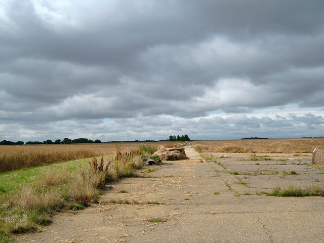
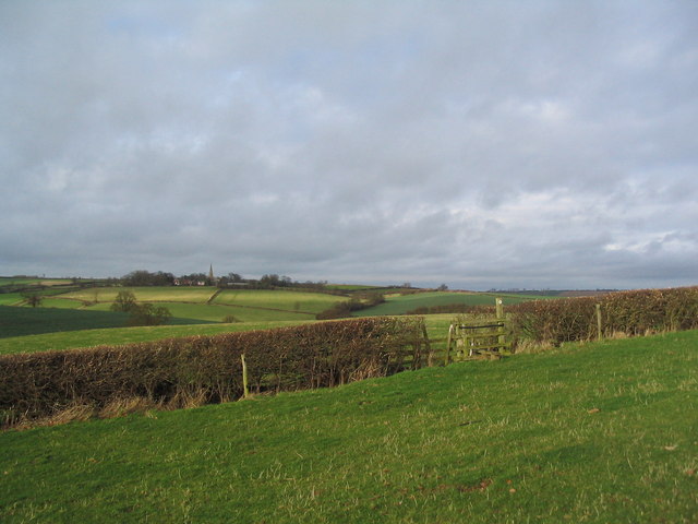
Brampton Wood is a renowned ancient woodland located in Northamptonshire, England. Covering an area of approximately 115 hectares, it is one of the largest remaining areas of ancient woodland in the county. The wood is situated near the village of Brampton, about 6 miles northwest of Huntingdon.

The wood is predominantly composed of oak and ash trees, with some areas featuring hazel and birch. The dense canopy formed by these towering trees creates a tranquil and shaded environment, providing a habitat for a wide range of flora and fauna. Notably, Brampton Wood is home to several rare and protected species, including the purple emperor butterfly, lesser-spotted woodpecker, and the dormouse.

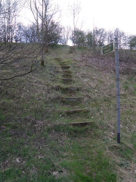
Visitors to Brampton Wood can explore a network of well-maintained footpaths that meander through the woodland, offering a chance to immerse oneself in nature and enjoy the peaceful surroundings. Additionally, the wood boasts a rich variety of wildflowers, including bluebells and primroses, which carpet the forest floor during the spring months, creating a breathtaking display of colors.

The conservation of Brampton Wood is of significant importance, and efforts have been made to preserve and protect this valuable habitat. The wood is managed by the Wildlife Trust for Bedfordshire, Cambridgeshire, and Northamptonshire, who work tirelessly to maintain the delicate balance of the woodland ecosystem and promote biodiversity.

Overall, Brampton Wood is a cherished natural treasure, providing a sanctuary for both wildlife and visitors alike. Its ancient trees, diverse wildlife, and picturesque surroundings make it a must-visit destination for nature enthusiasts and those seeking a peaceful retreat.

If you have any feedback on the listing, please let us know in the comments section below.

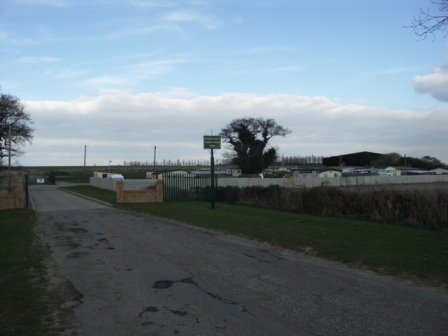
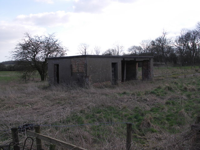
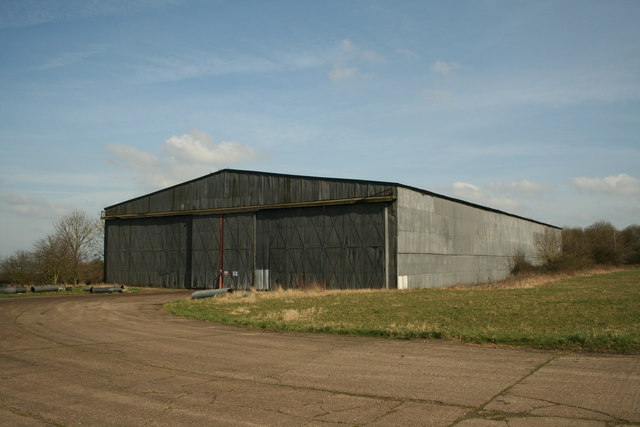
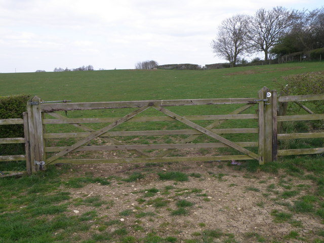
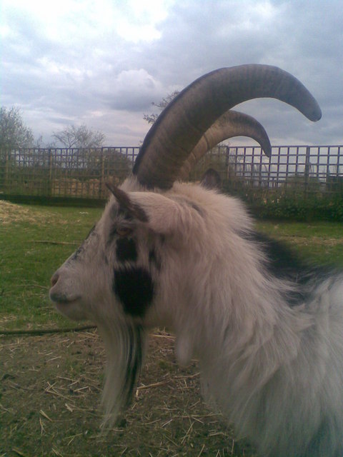
Brampton Wood Images

Images are sourced within 2km of 52.463638/-0.82684484 or Grid Reference SP7985. Thanks to Geograph Open Source API. All images are credited.

Desborough Airfield Built for the Second World War (it doesn't appear on Geograph's 1940s edition of the OS map for the square), it was closed soon after. The SW corner is used as a Traveller Camp.
Desborough Airfield
Built for the Second World War (it doesn't appear on Geograph's 1940s edition of the OS map for the square), it was closed soon after. The SW corner is used as a Traveller Camp.
Jurassic Way stile, south of Stoke Albany The church and village of Brampton Ash is on the horizon
Jurassic Way stile, south of Stoke Albany
The church and village of Brampton Ash is on the horizon
Jurassic Way, crossing fields south of Stoke Albany
Entrance to West Lodge Rural Centre.
Road Junction.
Road Junction.
Pasteur Mobile Home Park.
Derelict Building Remains of the original Operations Block for RAF Desborough built to Air Ministry drawing 13023/41 later reused as part of the sick quarters.
Derelict Building
Remains of the original Operations Block for RAF Desborough built to Air Ministry drawing 13023/41 later reused as part of the sick quarters.
Aerial mast Outside Desborough
Aerial mast
Outside Desborough
WW2 T2 Hangar WW2 T2 hangar on the former RAF Desborough NO 84 Operational Training Unit
WW2 T2 Hangar
WW2 T2 hangar on the former RAF Desborough NO 84 Operational Training Unit
Embankment steps The Jurassic Way long distance path sneaks along side a slip road at Stoke Albany for the A427 before veering up the embankment and across the fields towards Braybrooke.
Embankment steps
The Jurassic Way long distance path sneaks along side a slip road at Stoke Albany for the A427 before veering up the embankment and across the fields towards Braybrooke.
Jurassic Way Good walking along the Jurassic Way near Stoke Albany
Jurassic Way
Good walking along the Jurassic Way near Stoke Albany
West Lodge Rural Centre Goat Mountain at West Lodge Rural Centre, a farm park where children can meet and learn about farm animals.
West Lodge Rural Centre
Goat Mountain at West Lodge Rural Centre, a farm park where children can meet and learn about farm animals.
West Lodge Rural Centre A friendly goat down on the farm.
West Lodge Rural Centre
A friendly goat down on the farm.
Nissen Accommodation Huts Airmen's Accommodation huts on the former dispersed site 2 RAF Desborough.
Nissen Accommodation Huts
Airmen's Accommodation huts on the former dispersed site 2 RAF Desborough.
Handcraft Accommodation Huts Airmen's Accommodation huts on the former dispersed site 1 RAF Desborough.
Handcraft Accommodation Huts
Airmen's Accommodation huts on the former dispersed site 1 RAF Desborough.
BCF Accommodation Huts Airmen's Accommodation huts on the former dispersed site 4 RAF Desborough.
BCF Accommodation Huts
Airmen's Accommodation huts on the former dispersed site 4 RAF Desborough.
Slip road on the A427 Along the A427 Stoke Albany and Wilbarston bypass.
Slip road on the A427
Along the A427 Stoke Albany and Wilbarston bypass.
Entrance Gates View through the side entrance gates to former RAF Desborough, the perimeter track is visible in the distance with the tree at the top centre marking the end of the main runway.
Entrance Gates
View through the side entrance gates to former RAF Desborough, the perimeter track is visible in the distance with the tree at the top centre marking the end of the main runway.
Show me another place!

Brampton Wood is located at Grid Ref: SP7985 (Lat: 52.463638, Lng: -0.82684484)

Unitary Authority: North Northamptonshire

Police Authority: Northamptonshire

What 3 Words

///additives.middle.furniture. Near Desborough, Northamptonshire

Nearby Locations

Brampton Wood

Related Wikis

Stoke and Bowd Lane Woods

Stoke and Bowd Lane Woods is a 36.4-hectare (90-acre) biological Site of Special Scientific Interest west of Corby in Northamptonshire. The eastern half...

Stoke Albany

Stoke Albany is a village and civil parish in North Northamptonshire, England. It is off the A427 road between Market Harborough and Corby, about halfway...

St Mary the Virgin, Brampton Ash

St. Mary the Virgin is the local Church of England parish church for Brampton Ash, Northamptonshire. Sitting in the Diocese of Peterborough, the ironstone...

Desborough Town F.C.

Desborough Town Football Club is a football club based in Desborough, Northamptonshire, England. They are currently members of the United Counties League...

RAF Desborough

Royal Air Force Desborough or more simply RAF Desborough is a former Royal Air Force airfield located in Northamptonshire, England == History == The following...

The Plens

The Plens is a 5 hectare nature reserve in Desborough in Northamptonshire. It is managed by the Wildlife Trust for Bedfordshire, Cambridgeshire and Northamptonshire...

Brampton Ash

Brampton Ash is a civil parish and village in Northamptonshire, England. It lies in the extreme north-west of Northamptonshire and the nearest urban settlements...

Oxendon Rural District

Oxendon was a rural district in Northamptonshire, England from 1894 to 1935. It was formed under the Local Government Act 1894 from the part of the Market...

Nearby Amenities

Located within 500m of 52.463638,-0.82684484
Power: pole
Lat/Long: 52.4638278/-0.8335651
Power: pole
Lat/Long: 52.463001/-0.8325098
Power: pole
Lat/Long: 52.4622147/-0.8315039
Power: pole
Lat/Long: 52.4613543/-0.8304069
Power: pole
Lat/Long: 52.4604558/-0.8295623
Power: pole
Lat/Long: 52.4595838/-0.8287595
The data included in this document is from www.openstreetmap.org. The data is made available under ODbL.

Have you been to Brampton Wood?

Leave your review of Brampton Wood below (or comments, questions and feedback).