Rifle Spinney
Wood, Forest in Buckinghamshire
England
Rifle Spinney

Rifle Spinney is a picturesque woodland located in the county of Buckinghamshire, England. Situated in the heart of the Chiltern Hills, it covers an area of approximately 20 acres and is renowned for its natural beauty and tranquil atmosphere.
The woodland is primarily composed of a variety of deciduous trees, including beech, oak, and birch. These trees provide a stunning canopy, especially during the autumn months when the leaves change color, creating a vibrant display of reds, oranges, and yellows.
Rifle Spinney is home to a diverse range of wildlife, making it a haven for nature enthusiasts and birdwatchers. Visitors may spot various species of birds, such as woodpeckers, nuthatches, and thrushes. Additionally, the woodland is inhabited by small mammals like squirrels and rabbits, as well as occasional sightings of deer.
The area is also popular among hikers and walkers, as it offers a network of well-maintained footpaths and trails that wind through the woodland. These paths provide opportunities for visitors to appreciate the flora and fauna up close, as well as enjoy peaceful strolls in the fresh air.
Overall, Rifle Spinney is a hidden gem in the Buckinghamshire countryside, offering an escape from the hustle and bustle of everyday life. Its natural beauty, diverse wildlife, and tranquil ambiance make it a must-visit destination for nature lovers and those seeking solace in the great outdoors.
If you have any feedback on the listing, please let us know in the comments section below.
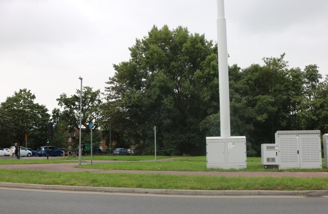
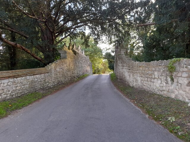
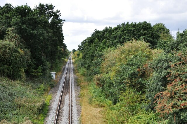
Rifle Spinney Images
Images are sourced within 2km of 51.808207/-0.84405168 or Grid Reference SP7912. Thanks to Geograph Open Source API. All images are credited.


Rifle Spinney is located at Grid Ref: SP7912 (Lat: 51.808207, Lng: -0.84405168)
Unitary Authority: Buckinghamshire
Police Authority: Thames Valley
What 3 Words
///bunk.powers.farmer. Near Stone, Buckinghamshire
Nearby Locations
Related Wikis
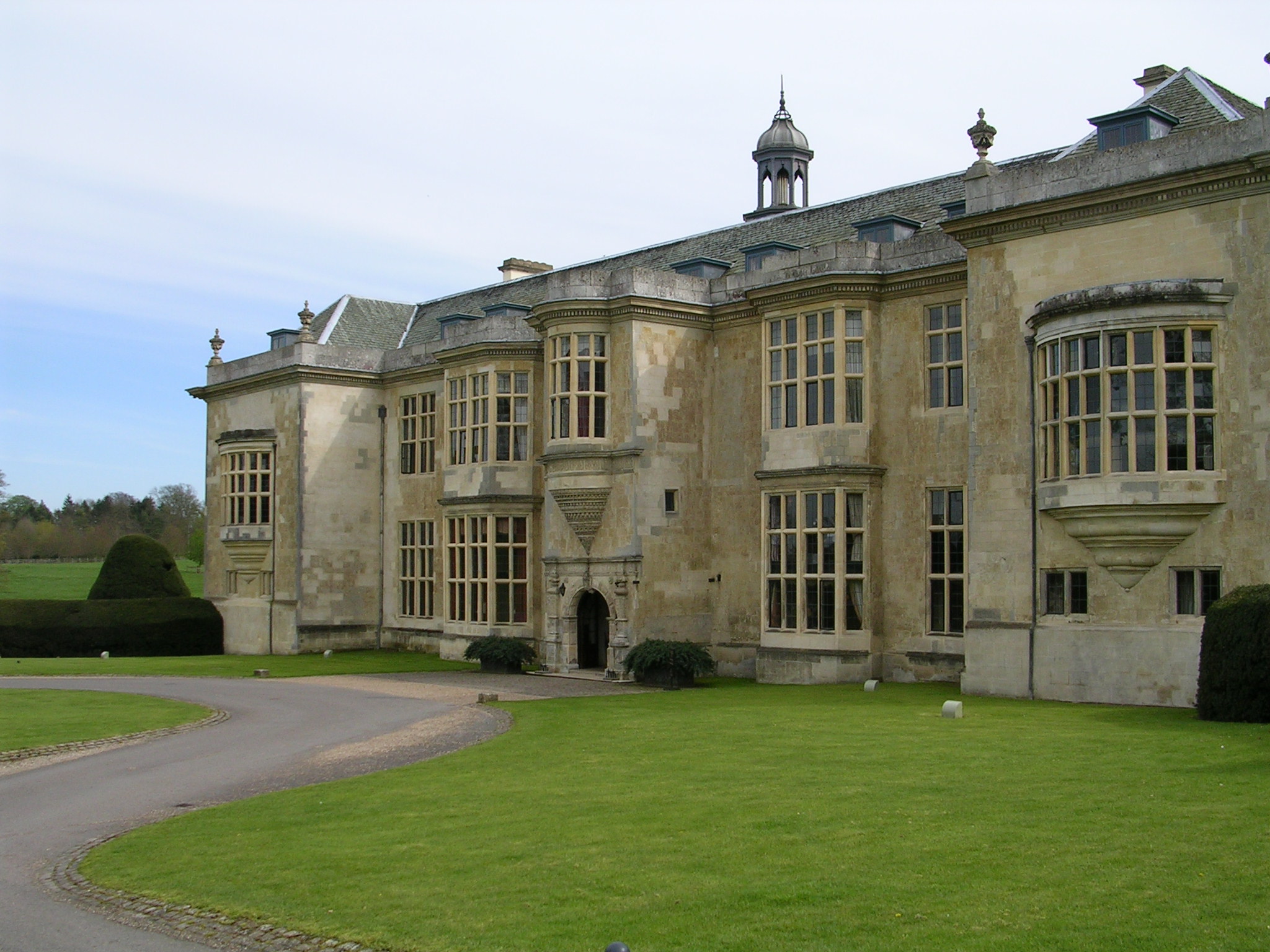
Hartwell House, Buckinghamshire
Hartwell House is a country house in the parish of Hartwell in Buckinghamshire, Southern England. The house is owned by the Ernest Cook Trust, has been...

St Mary's Church, Hartwell
St Mary's Church is a redundant Anglican church in the village of Hartwell, Buckinghamshire, England. It is under the care of the Churches Conservation...

A418 road
The A418 road is a main trunk road in Buckinghamshire and Oxfordshire, England. It begins at a roundabout with the A4146 just north of Ascott, near Leighton...
Hartwell, Buckinghamshire
Hartwell is a village and former civil parish, now in the parish of Stone with Bishopstone and Hartwell, in central Buckinghamshire, England. It is to...

Bugle Quarry
Bugle Quarry is a 0.08-hectare (0.20-acre) geological Site of Special Scientific Interest in Hartwell in Buckinghamshire. The local planning authority...
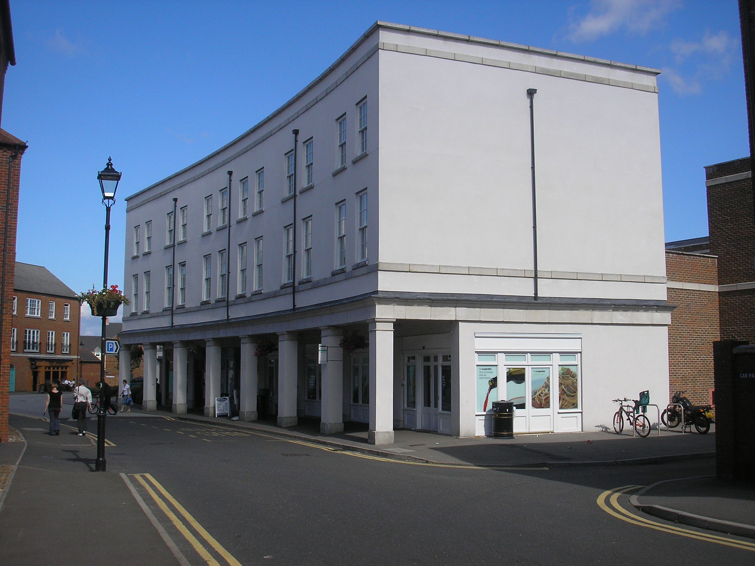
Fairford Leys
Fairford Leys is a housing development in Aylesbury, Buckinghamshire, England, designed in the urban village style, with the street and block layout making...

Sedrup
Sedrup (formerly Southwarp or Southcote) is a hamlet in Buckinghamshire, England. It is located south west of the town of Aylesbury, close to the villages...
Prebendal Farm, Aylesbury
Prebendal Farm is a housing estate in Aylesbury, Buckinghamshire, England. It is located to the south of the town, bordered by the Oxford Road, the railway...
Related Videos

Nevermind x The Rockwood bank holiday
Nevermind at The Rockwood, Aylesbury.

1966 Ford GT40 P/1001, The first production car made!
We have looked after P1001 for quite a few years now. It was the first production GT40 car produced by Ford Advanced Vehicles ...
Walking down aylesbury canal (peaceful)
Me walking down the aylesbury canal at 16:30 In the U.K.

Nearby Amenities
Located within 500m of 51.808207,-0.84405168Have you been to Rifle Spinney?
Leave your review of Rifle Spinney below (or comments, questions and feedback).