Seven Oaks

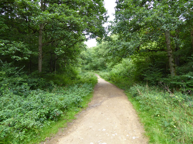
Wood, Forest in Northamptonshire

England

Seven Oaks

Smart Motorway works - M1 southbound
Smart Motorway works - M1 southbound Credit: Dave Thompson

Seven Oaks is a small village located in the county of Northamptonshire, England. Nestled amongst a picturesque landscape, the village is renowned for its abundant woodlands and forests, which give it a distinct natural charm.

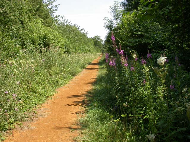
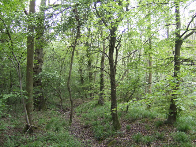
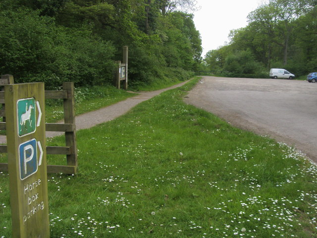
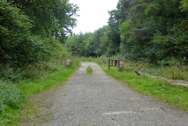
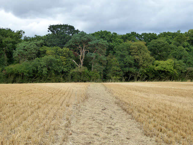
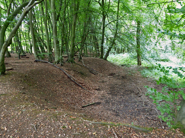
The village takes its name from the seven majestic oak trees that once stood proudly in the heart of the community. Although these ancient oaks no longer exist, the village has managed to preserve its woodland character through careful conservation efforts. The surrounding forests cover a vast area, providing a haven for wildlife and offering residents and visitors alike a peaceful retreat from the hustle and bustle of modern life.

Seven Oaks is home to a close-knit community, with a population of approximately 500 residents. The village is dotted with charming cottages and traditional architecture, adding to its idyllic appeal. Despite its small size, Seven Oaks boasts a range of amenities, including a village hall, a local pub, and a primary school, ensuring that residents have access to essential services.

The natural beauty of Seven Oaks attracts outdoor enthusiasts from far and wide. The forests offer numerous walking trails, allowing visitors to explore the area's diverse flora and fauna. The village also hosts annual events, such as a summer fair and a Christmas market, which bring the community together and create a warm and welcoming atmosphere.

In conclusion, Seven Oaks, Northamptonshire is a tranquil village with a rich natural heritage. Its woodlands and forests, along with its tight-knit community, make it a desirable place to live and visit for those seeking a peaceful and picturesque retreat.

If you have any feedback on the listing, please let us know in the comments section below.
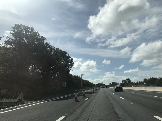
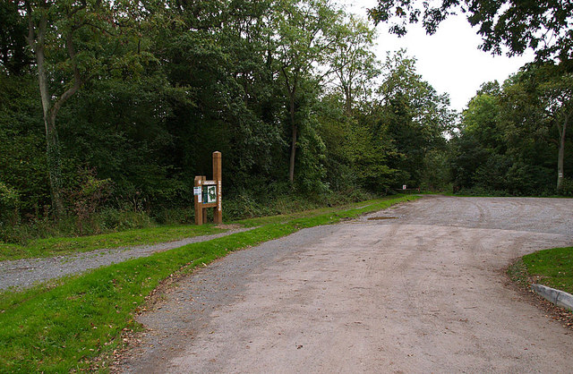
Seven Oaks Images

Images are sourced within 2km of 52.155221/-0.83859387 or Grid Reference SP7951. Thanks to Geograph Open Source API. All images are credited.

Smart Motorway works - M1 southbound
M1 near Hartwell The M1 is a north–south motorway connecting London to Leeds, where it joins the A1(M) near Aberford. It was the first motorway to be completed in the United Kingdom.
The motorway is 193 miles long and was constructed in four phases. Most of the motorway was opened between 1959 and 1968 but the southern end was extended in 1977 and the northern end was extended in 1999.
M1 near Hartwell
The M1 is a north–south motorway connecting London to Leeds, where it joins the A1(M) near Aberford. It was the first motorway to be completed in the United Kingdom. The motorway is 193 miles long and was constructed in four phases. Most of the motorway was opened between 1959 and 1968 but the southern end was extended in 1977 and the northern end was extended in 1999.
The Woodpecker Trail, Salcey Forest The tall mauve flowers to the right of the trail are Rosebay Willow Herb. This trail is approximately 6 miles in length and is the longest on offer in the forest.
The Woodpecker Trail, Salcey Forest
The tall mauve flowers to the right of the trail are Rosebay Willow Herb. This trail is approximately 6 miles in length and is the longest on offer in the forest.
Car Park on Swan's Way, Salcey Forest A popular car park for walkers, riders and cyclists. The track leads deep into the forest on the less-busy southern side. The forest warden told me that in the evenings (at the right time of year) nightingales can be heard calling.
Car Park on Swan's Way, Salcey Forest
A popular car park for walkers, riders and cyclists. The track leads deep into the forest on the less-busy southern side. The forest warden told me that in the evenings (at the right time of year) nightingales can be heard calling.
Salcey Forest in mid-spring The beeches are leafing up nicely, but no bluebells, more's the pity!
Salcey Forest in mid-spring
The beeches are leafing up nicely, but no bluebells, more's the pity!
Swan's Way Swan's Way start/finish in Salcey Forest
Swan's Way
Swan's Way start/finish in Salcey Forest
Track, Salcey Forest The no entry signs have an added 'No unauthorised vehicles'.
Track, Salcey Forest
The no entry signs have an added 'No unauthorised vehicles'.
Bridleway towards Salcey Forest It was remarkable how stony the field was - quite large lumps of stone were on the track.
Bridleway towards Salcey Forest
It was remarkable how stony the field was - quite large lumps of stone were on the track.
Old pit, Salcey Forest On old maps shown as an old gravel pit, which is not the mineral that immediately springs to mind in these parts. The geological map suggests limestone is more likely.
Old pit, Salcey Forest
On old maps shown as an old gravel pit, which is not the mineral that immediately springs to mind in these parts. The geological map suggests limestone is more likely.
Bridleway in Salcey Forest One of many paths and tracks in the Forestry Commission woodland.
Bridleway in Salcey Forest
One of many paths and tracks in the Forestry Commission woodland.
Southbound M1 between junctions 15 and 14 A road works 60 limit monitored by average speed cameras.
Southbound M1 between junctions 15 and 14
A road works 60 limit monitored by average speed cameras.
Matrix board - M1 southbound
SMART motorway works - M1 southbound
Matrix board - M1 southbound
Forest Road crossing M1 southbound
Smart Motorway works - M1 southbound
Old railway bridge This is the disused railway bridge carrying the M1 across the Stratford & Midland Junction Railway near Quinton Green.  The concrete bridge is constructed in the 'original M1 style' used when the first stretch of motorway was constructed in the late 1950's.  It seems to be a unique design that was only used for railway bridges on this section of motorway.  The railway line closed on 8th August 1958, but this section of the M1 was not opened until 2nd November 1959, so the bridge immediately became a 'white elephant'.
Old railway bridge
This is the disused railway bridge carrying the M1 across the Stratford & Midland Junction Railway near Quinton Green. The concrete bridge is constructed in the 'original M1 style' used when the first stretch of motorway was constructed in the late 1950's. It seems to be a unique design that was only used for railway bridges on this section of motorway. The railway line closed on 8th August 1958, but this section of the M1 was not opened until 2nd November 1959, so the bridge immediately became a 'white elephant'.
Southbound M1 near to Hartwell The M1 is a north–south motorway connecting London to Leeds, where it joins the A1(M) near Aberford. It was the first motorway to be completed in the United Kingdom.
The motorway is 193 miles long and was constructed in four phases. Most of the motorway was opened between 1959 and 1968 but the southern end was extended in 1977 and the northern end was extended in 1999.
Southbound M1 near to Hartwell
The M1 is a north–south motorway connecting London to Leeds, where it joins the A1(M) near Aberford. It was the first motorway to be completed in the United Kingdom. The motorway is 193 miles long and was constructed in four phases. Most of the motorway was opened between 1959 and 1968 but the southern end was extended in 1977 and the northern end was extended in 1999.
Show me another place!

Seven Oaks is located at Grid Ref: SP7951 (Lat: 52.155221, Lng: -0.83859387)

Unitary Authority: West Northamptonshire

Police Authority: Northamptonshire

What 3 Words

///helps.somewhere.markets. Near Hartwell, Northamptonshire

Related Wikis

Salcey Forest

Salcey Forest is a fragment of a former medieval hunting forest east of the village of Hartwell, between Northampton and Newport Pagnell in Northamptonshire...

Hartwell, Northamptonshire

Hartwell is a village and civil parish in West Northamptonshire, England, bordering Buckinghamshire. The village is next to Salcey Forest and the M1 motorway...

Salcey Green

Salcey Green is an area of farm and wood land within the parish of Hanslope in the Borough of Milton Keynes, England. In 1830 it was the scene of an infamous...

Salcey Forest railway station

Salcey Forest railway station was a short-lived railway station in England, on the Stratford-upon-Avon, Towcester and Midland Junction Railway which opened...

Ashton, West Northamptonshire

Ashton is a village in West Northamptonshire about 1 mile (1.6 km) southeast of Roade village close to the Northampton to Milton Keynes A508, ca.3 miles...

Piddington, Northamptonshire

Piddington is a village and former civil parish, now in the parish of Hackleton, in the West Northamptonshire district, in the ceremonial county of Northamptonshire...

Piddington Roman Villa

Piddington Roman Villa is the remains of a large Roman villa at Piddington, Northamptonshire, about 6 miles (9.7 km) south-east of Northampton, a county...

Long Street, Buckinghamshire

Long Street is a hamlet in the parish of Hanslope, in the unitary authority area of the City of Milton Keynes, ceremonial Buckinghamshire, England. It...

Nearby Amenities

Located within 500m of 52.155221,-0.83859387
Bench
Backrest: yes
Mapillary: 854859565409997
Survey Date: 2018-07-19
Lat/Long: 52.159621/-0.8381425
Parking
Access: yes
Charge: £6 for 2hours. £8 for the dat. Members go free
Fee: yes
Parking: surface
Payment Contactless: yes
Lat/Long: 52.1579072/-0.8420148
Cafe
Salcey Forest Cafe
Addr City: Northampton
Addr Country: GB
Addr Housename: Grounds Salcey Forest
Addr Postcode: NN7 2HX
Addr Street: Wootton Road
Addr Village: Hartwell
Cuisine: coffee_shop;sandwich
Fhrs Authority: West Northamptonshire
Fhrs Id: 1541313
Fhrs Local Authority Id: FR/000002614
Indoor Seating: yes
Opening Hours: Feb-Oct Mo-Fr 09:30-17:00, Sa-Su 09:00-17:30, Nov-Jan Mo-Fr 09:30-16:00, Sa-Su 09:00-17:00
Outdoor Seating: yes
Source: local knowledge
Website: http://www.aecatering.co.uk/grounds-salcey/
Lat/Long: 52.1576836/-0.840215
Access: yes
Leisure: playground
Lat/Long: 52.1579107/-0.8399227
Toilets
Description: closes likely at 9pm
Fee: no
Lat/Long: 52.1575404/-0.8403894
Parking
Roadside parking
Access: yes
Capacity: 2
Fee: yes
Parking: street_side
Source: GPS tracklog
Supervised: no
Lat/Long: 52.1568173/-0.8414806
Crossing
Lat/Long: 52.1570558/-0.8406272
The data included in this document is from www.openstreetmap.org. The data is made available under ODbL.

Have you been to Seven Oaks?

Leave your review of Seven Oaks below (or comments, questions and feedback).