Ash Pole Spinney
Wood, Forest in Leicestershire Melton
England
Ash Pole Spinney
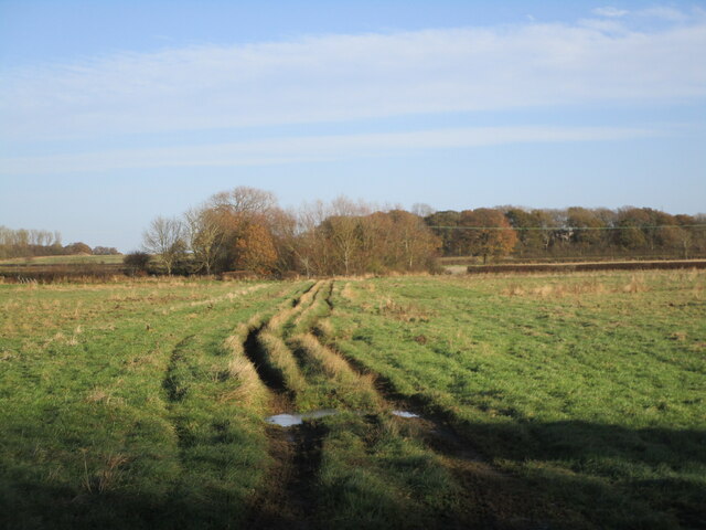
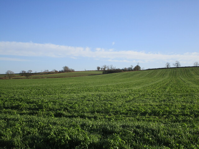
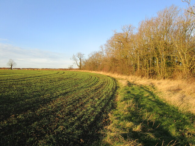
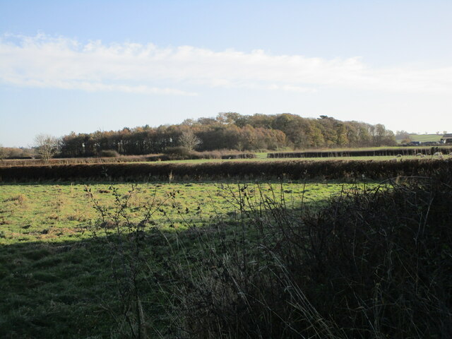
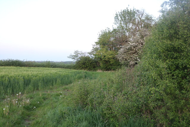
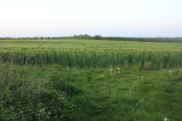
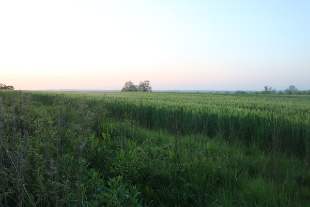
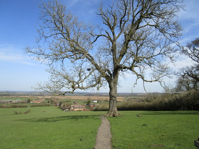
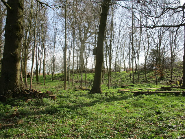
Ash Pole Spinney is a wood located in Leicestershire, England. Covering an area of approximately 20 hectares, it is situated near the village of Ashby Magna. The spinney is characterized by its dense vegetation and predominantly consists of ash trees, hence its name. It is a significant habitat for various species of flora and fauna, providing a valuable ecosystem for the local biodiversity.
The wood features a diverse range of vegetation, including ferns, wildflowers, and mosses, which create a lush and vibrant environment. The canopy formed by the ash trees provides shade and shelter for smaller plants and animals. The spinney is home to a variety of bird species, such as woodpeckers, owls, and songbirds, making it a popular spot for birdwatching enthusiasts.
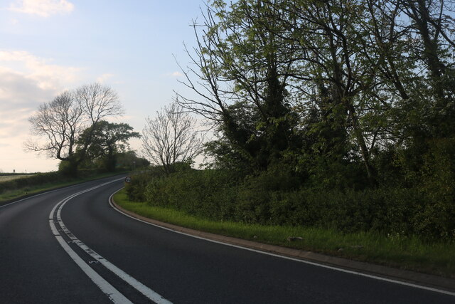
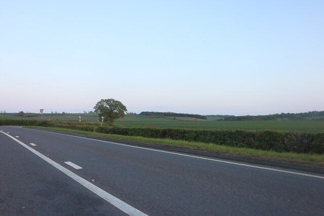
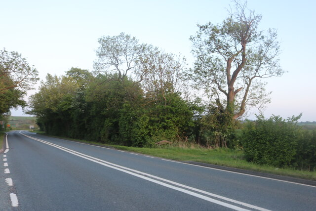
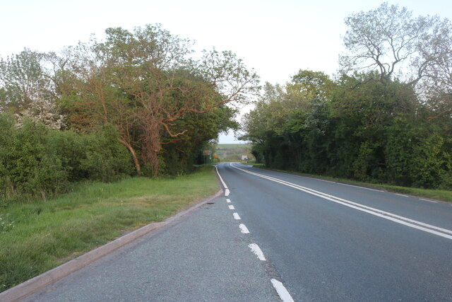
Ash Pole Spinney is accessible to the public through a network of footpaths and trails. These paths allow visitors to explore the wood and experience its natural beauty firsthand. The wood is a peaceful and tranquil place, attracting walkers, nature lovers, and photographers seeking to capture its scenic landscapes.
The management of Ash Pole Spinney is overseen by local conservation authorities who work to maintain its ecological balance. Regular monitoring and conservation efforts help ensure the long-term sustainability of this woodland habitat.
Overall, Ash Pole Spinney is a cherished natural treasure in Leicestershire, offering visitors the opportunity to connect with nature, appreciate its beauty, and witness the vital role it plays in supporting local wildlife.
If you have any feedback on the listing, please let us know in the comments section below.
Ash Pole Spinney Images
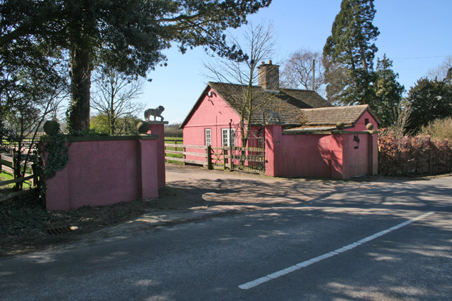
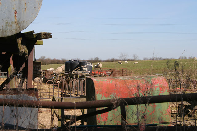
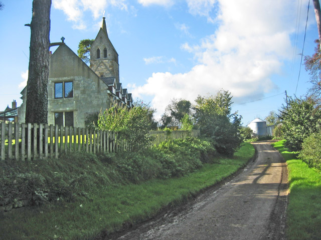
Images are sourced within 2km of 52.722028/-0.82592074 or Grid Reference SK7914. Thanks to Geograph Open Source API. All images are credited.
Ash Pole Spinney is located at Grid Ref: SK7914 (Lat: 52.722028, Lng: -0.82592074)
Administrative County: Leicestershire
District: Melton
Police Authority: Leicestershire
What 3 Words
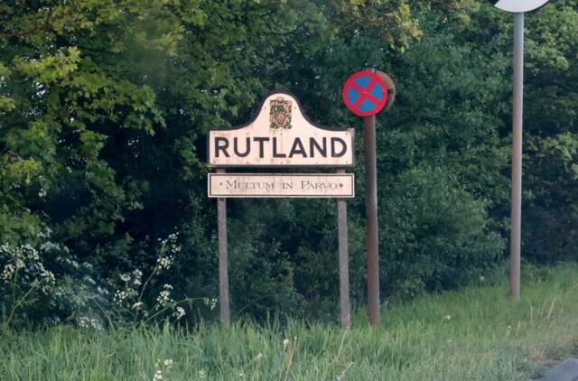
///mouse.jets.propelled. Near Langham, Rutland
Nearby Locations
Related Wikis

Burton and Dalby
Burton and Dalby is a civil parish in the Melton district of Leicestershire, England, to the south of Melton Mowbray. It covers the villages of Burton...

Rutland and Melton (UK Parliament constituency)
Rutland and Melton is a county constituency spanning Leicestershire and Rutland, represented in the House of Commons of the Parliament of the United Kingdom...
Brentingby
Brentingby is a village in Leicestershire, England.The population is included in the civil parish of Freeby. The village's name means either 'farm/settlement...

Pickwell
Pickwell is a small, hill-crest village 5 miles (8.0 km) south-east of Melton Mowbray in the Melton district, in Leicestershire which used to have an ecclesiastical...

Burton Lazars
Burton Lazars is a village and former civil parish, now in the parish of Burton and Dalby, in the Melton district, in the county of Leicestershire, England...

East Goscote Hundred
East Goscote Hundred was a hundred of Leicestershire, that arose from the division of the ancient Goscote hundred (also known as a Wapentake) into two...

Whissendine
Whissendine is a village and civil parish in Rutland, England, north-west of the county town, Oakham. The population at the 2001 census was 1,189, increasing...

St Andrew's Church, Whissendine
St Andrew's Church is a church in Whissendine, Rutland. It is a Grade I listed building. == History == The church is one of the largest in Rutland and...
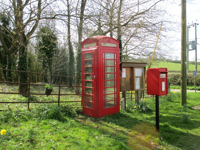
Nearby Amenities
Located within 500m of 52.722028,-0.82592074Have you been to Ash Pole Spinney?
Leave your review of Ash Pole Spinney below (or comments, questions and feedback).