Alder Park Plantation
Wood, Forest in Yorkshire Scarborough
England
Alder Park Plantation

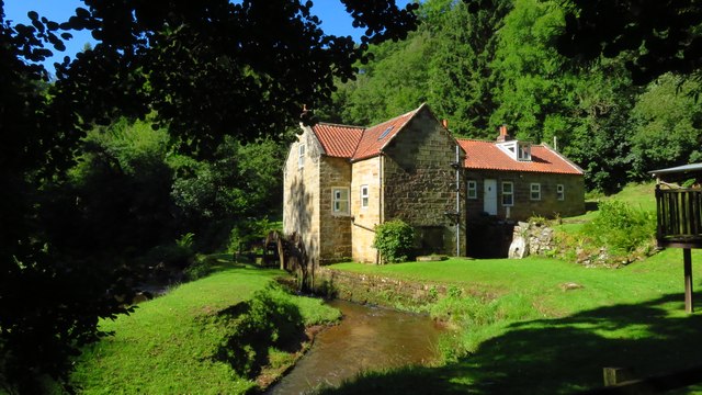
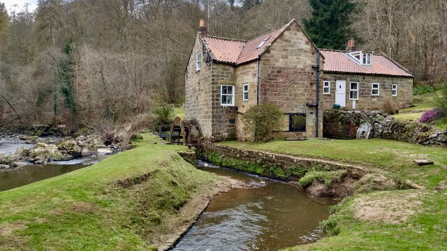
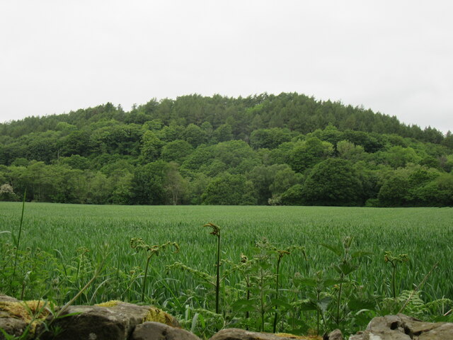
Alder Park Plantation, located in Yorkshire, is a sprawling woodland encompassing a vast expanse of lush greenery and majestic trees. Situated in the heart of the county, this enchanting forest exudes a serene ambiance, making it a popular destination for nature lovers and outdoor enthusiasts.
Covering an area of approximately 100 acres, Alder Park Plantation is home to a diverse range of flora and fauna. Towering oak, ash, and beech trees dominate the landscape, providing a haven for numerous bird species, small mammals, and insects. The forest floor is adorned with a vibrant carpet of wildflowers, adding bursts of color to the already picturesque scenery.
Tranquil pathways wind their way through the plantation, inviting visitors to explore and immerse themselves in the natural beauty that surrounds them. These well-maintained trails offer opportunities for hiking, jogging, or simply enjoying a leisurely stroll amidst the peaceful ambiance.
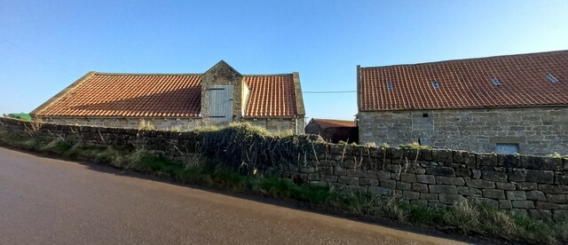
Alder Park Plantation is also renowned for its rich history. Dating back centuries, the woodland was once part of a larger estate, with remnants of old stone walls and ruins still visible today. Local folklore tells tales of ancient rituals and mysterious happenings within the forest, adding an air of intrigue to its already captivating allure.
Visitors to Alder Park Plantation can also enjoy various recreational activities. Picnic areas are scattered throughout the woodland, providing the perfect spot for a family outing or a peaceful lunch amidst nature. Additionally, the plantation offers designated areas for camping and fishing, allowing visitors to fully immerse themselves in the tranquility and beauty of this Yorkshire gem.
If you have any feedback on the listing, please let us know in the comments section below.
Alder Park Plantation Images
Images are sourced within 2km of 54.445884/-0.77826764 or Grid Reference NZ7906. Thanks to Geograph Open Source API. All images are credited.


Alder Park Plantation is located at Grid Ref: NZ7906 (Lat: 54.445884, Lng: -0.77826764)
Division: North Riding
Administrative County: North Yorkshire
District: Scarborough
Police Authority: North Yorkshire
What 3 Words
///pickup.nods.trophy. Near Sleights, North Yorkshire
Related Wikis
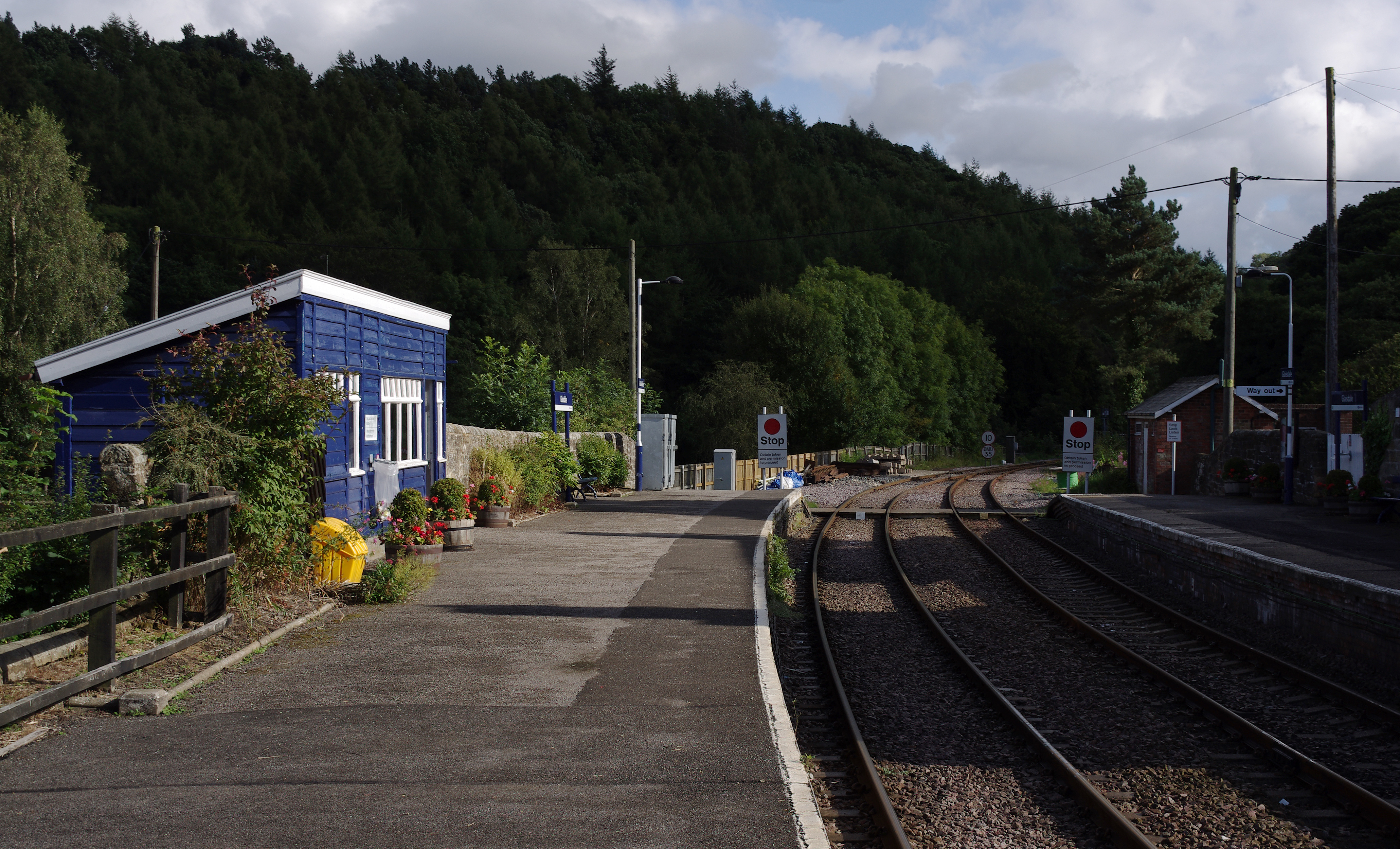
Glaisdale railway station
Glaisdale is a railway station on the Esk Valley Line, which runs between Middlesbrough and Whitby via Nunthorpe. The station, situated 9 miles 33 chains...

Egton railway station
Egton is a railway station on the Esk Valley Line, which runs between Middlesbrough and Whitby via Nunthorpe. The station, situated 7 miles 66 chains...

Egton
Egton is a village and civil parish in the Scarborough local administration district of North Yorkshire county, England, about 5 miles (8 km) west of Whitby...
Egton Bridge
Egton Bridge is a village in the Scarborough district of North Yorkshire, England. It lies within the North York Moors National Park, on the River Esk...

Egton Manor
Egton Manor is an historic country house near the village of Egton Bridge, on the banks of the River Esk in the North Yorkshire Moors. The Grade II listed...

St Hilda's Church, Egton
St Hilda's church, Egton, is a Church of England church in Egton, North Yorkshire, built in 1879 and designed by local architect E. H. Smales. St Hilda...

Glaisdale
Glaisdale is a village and civil parish in the Scarborough district of North Yorkshire, England, within the North York Moors National Park. It lies at...

A171 road
The A171 is a road in England that links the North Yorkshire towns of Middlesbrough, Guisborough, Whitby, Robin Hood's Bay and Scarborough. Locally it...
Related Videos

Glaisdale, North York Moors - 18 December 2023
A 9.6 mile walk from Glasidale. The route heads west up along Glaisdale Rigg before descending into the valley and then climbs ...

Coast to Coast - Day 11 of 12 - Chop Gate to Glaisdale
Coast to Coast - Day 11 of 12 - Chop Gate to Glaisdale. The coast to coast is a 192-mile long-distance footpath in Northern ...
A peaceful Epic hike through the Esk Valley to Glaisdale.
Good evening travelers, wanderers and pilgrims! I trust this post finds you well. Well... I thought we were finally going to have a ...

Nearby Amenities
Located within 500m of 54.445884,-0.77826764Have you been to Alder Park Plantation?
Leave your review of Alder Park Plantation below (or comments, questions and feedback).