Barkestone Wood
Wood, Forest in Leicestershire Melton
England
Barkestone Wood

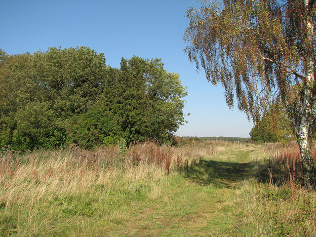
Barkestone Wood is a beautiful woodland located in the county of Leicestershire, England. Stretching over an area of several acres, it is a popular destination for nature enthusiasts and hikers alike. The woodland is nestled on the outskirts of the village of Barkestone-le-Vale, surrounded by picturesque countryside.
The wood boasts a diverse range of tree species, including oak, birch, and beech, which create a captivating canopy overhead. The dense foliage provides a habitat for a variety of wildlife, such as birds, squirrels, and deer. Walking through the wood, visitors can enjoy the peaceful ambiance and immerse themselves in the tranquility of nature.
There are numerous walking trails and footpaths that crisscross the woodland, providing visitors with the opportunity to explore its hidden treasures. The well-maintained paths make it easy to navigate through the wood, ensuring a pleasant and enjoyable experience for all.
Barkestone Wood is particularly renowned for its vibrant display of bluebells during the spring season. The forest floor becomes a carpet of delicate blue flowers, creating a stunning sight that attracts visitors from far and wide. The bluebell display is a cherished local tradition, and many people flock to the wood to witness this natural phenomenon each year.
With its enchanting beauty and peaceful atmosphere, Barkestone Wood is a true gem in the heart of Leicestershire. Whether you are a nature lover or simply seeking a tranquil escape from the hustle and bustle of everyday life, this woodland offers a serene and rejuvenating experience for all who visit.
If you have any feedback on the listing, please let us know in the comments section below.
Barkestone Wood Images
Images are sourced within 2km of 52.884251/-0.82313395 or Grid Reference SK7932. Thanks to Geograph Open Source API. All images are credited.


Barkestone Wood is located at Grid Ref: SK7932 (Lat: 52.884251, Lng: -0.82313395)
Administrative County: Leicestershire
District: Melton
Police Authority: Leicestershire
What 3 Words
///crouch.lunged.completed. Near Bottesford, Leicestershire
Nearby Locations
Related Wikis
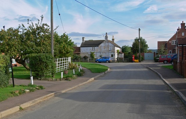
Barkestone-le-Vale
Barkestone-le-Vale is a village and (as just "Barkestone") a former civil parish, now in the parish of Redmile, in the Melton district, in the north east...
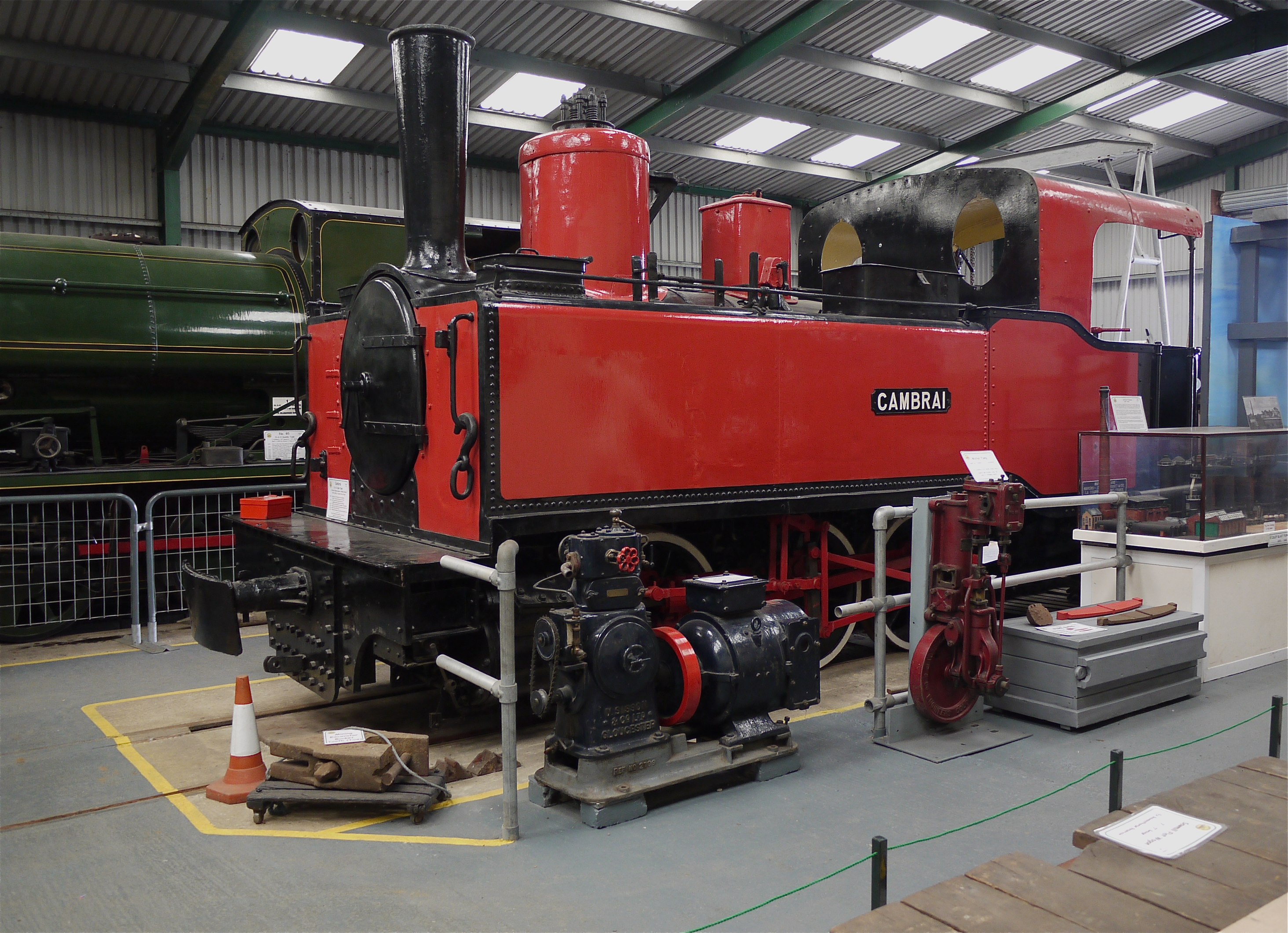
Waltham Iron Ore Tramway
The Waltham Iron Ore Tramway was a 1,000 mm (3 ft 3+3⁄8 in) gauge industrial tramway serving the ironstone pits of the Waltham Iron Ore Company, a subsidiary...

Terrace Hills Pasture
Terrace Hills Pasture is an 11.3-hectare (28-acre) biological Site of Special Scientific Interest north of Eastwell in Leicestershire.This site has been...

Stathern
Stathern is an English village and civil parish in the Melton district of Leicestershire. It lies in the Vale of Belvoir about 10 miles (16 km) north of...

Plungar
Plungar is a village and former civil parish, now in the parish of Redmile, and the Melton district of Leicestershire, England. It is about 9 miles (14...

Belvoir, Leicestershire
Belvoir ( BEE-vər) is a village and civil parish in the Melton district of Leicestershire, England, close to the county boundary with Lincolnshire. The...

Church of St Peter and St Paul, Barkestone-le-Vale
The Church of St Peter and St Paul is a church in Barkestone-le-Vale, Leicestershire, England. It is a Grade II* listed building. == History == The church...
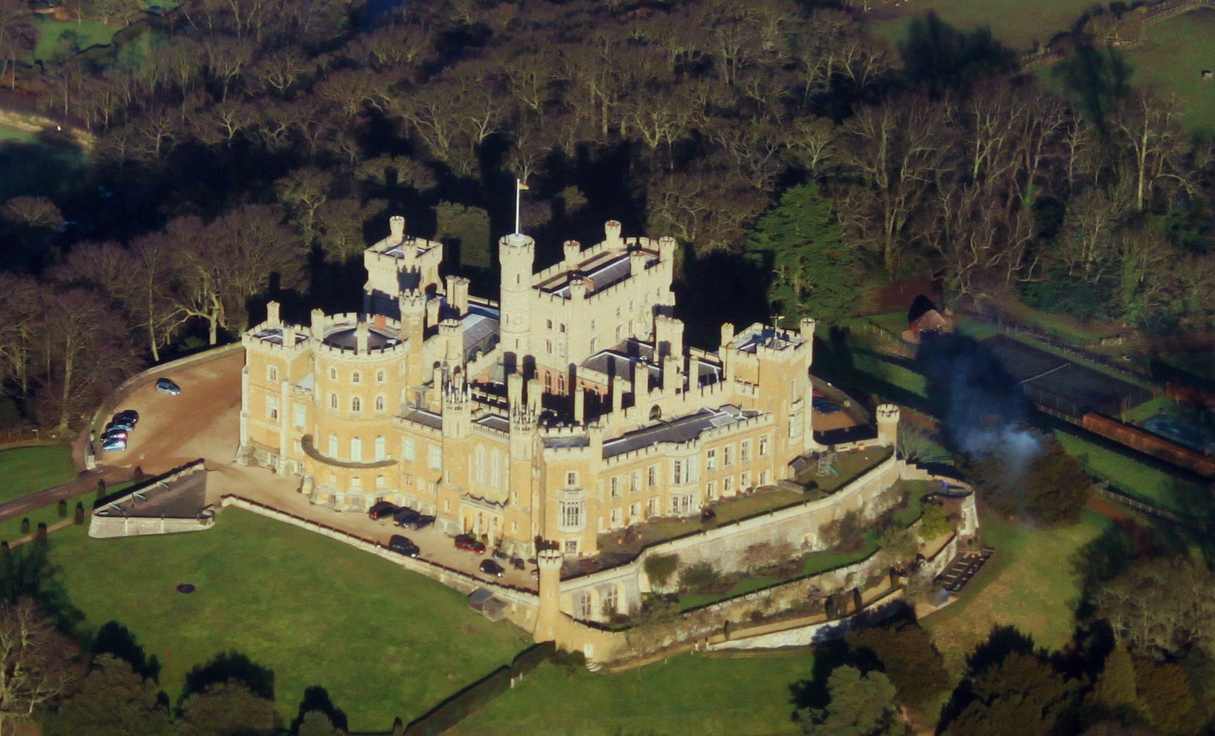
Belvoir Castle
Belvoir Castle ( BEE-vər) is a faux historic castle and stately home in Leicestershire, England, situated 6 mi (10 km) west of the town of Grantham and...
Nearby Amenities
Located within 500m of 52.884251,-0.82313395Have you been to Barkestone Wood?
Leave your review of Barkestone Wood below (or comments, questions and feedback).