Down Copse
Wood, Forest in Sussex Chichester
England
Down Copse
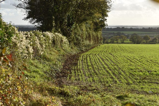
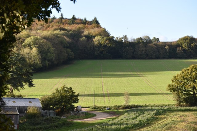
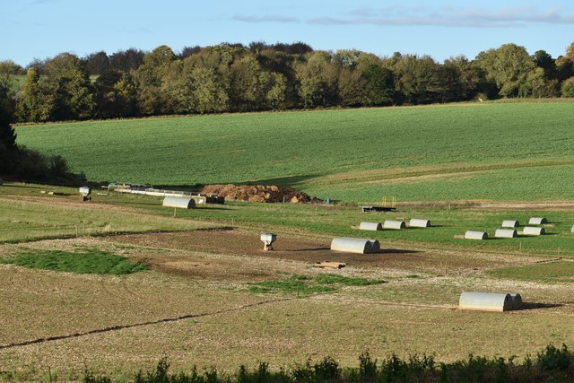
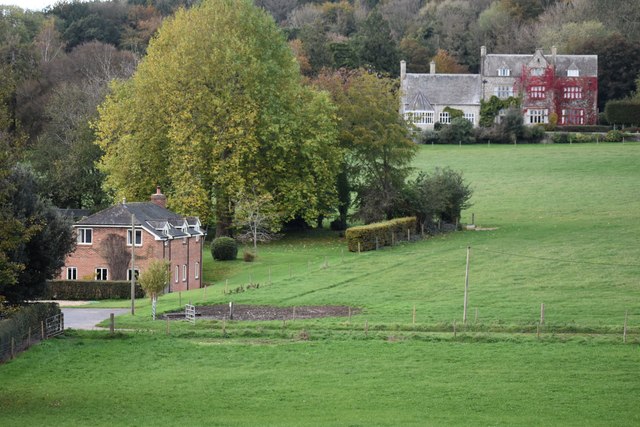
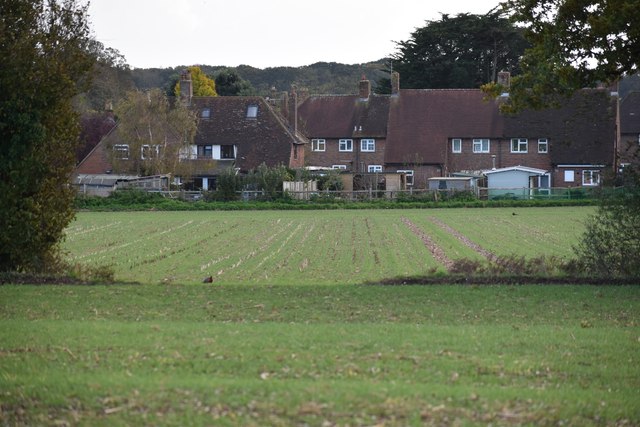
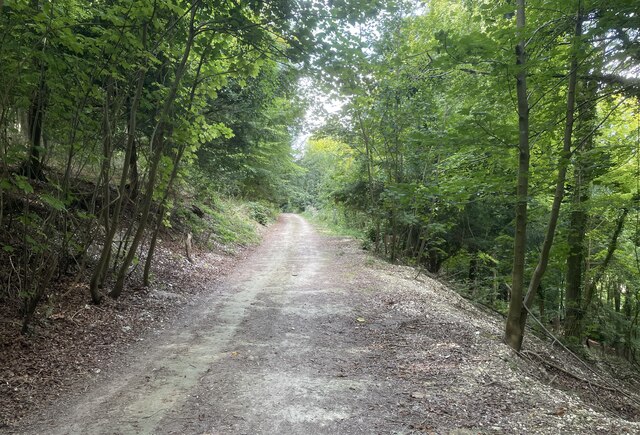
Down Copse is a woodland situated in Sussex, a county located in the southeastern part of England. It covers a total area of approximately 50 hectares and is known for its diverse range of flora and fauna. The copse consists mainly of deciduous trees, such as oak, beech, and birch, which provide a rich canopy and create a picturesque setting.
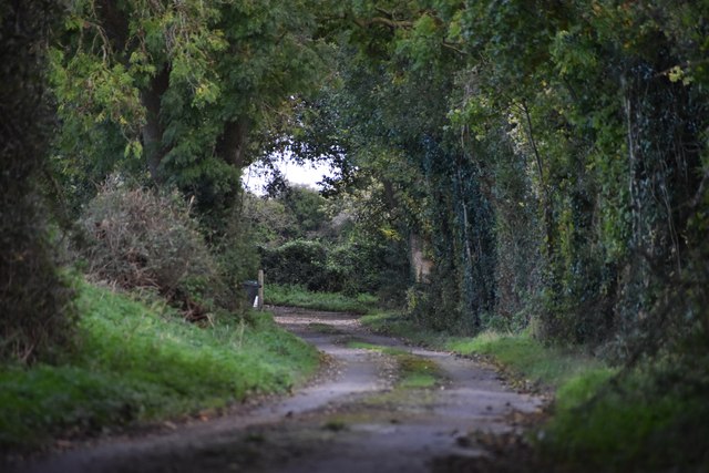
The woodland is characterized by its undulating terrain, with gentle slopes and small valleys that add to its natural beauty. It is intersected by several narrow footpaths that allow visitors to explore the copse and immerse themselves in its tranquility. The paths meander through the trees, offering glimpses of wildflowers, ferns, and mosses that flourish beneath the canopy.
Down Copse is home to a variety of wildlife, with many species finding shelter and sustenance within its borders. Birds, including woodpeckers, owls, and various songbirds, can be observed and heard throughout the year. Squirrels and rabbits are also common sights, scurrying among the trees and bushes. In the spring and summer, butterflies and bees can be seen flitting from flower to flower, adding a burst of color to the woodland.
The copse is a popular destination for nature enthusiasts, hikers, and families looking to enjoy the outdoors. It offers a peaceful and serene atmosphere, providing a welcome retreat from the hustle and bustle of everyday life. Whether it's a leisurely stroll, birdwatching, or simply appreciating the beauty of nature, Down Copse offers an idyllic setting for all.
If you have any feedback on the listing, please let us know in the comments section below.
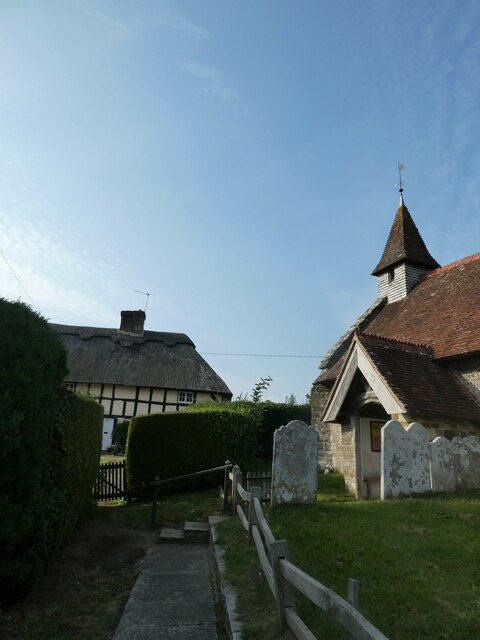
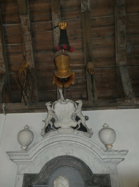
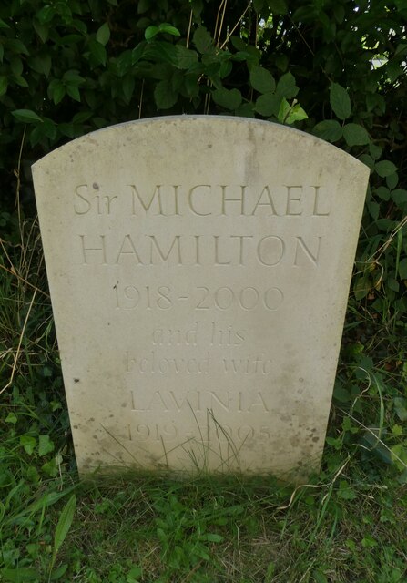
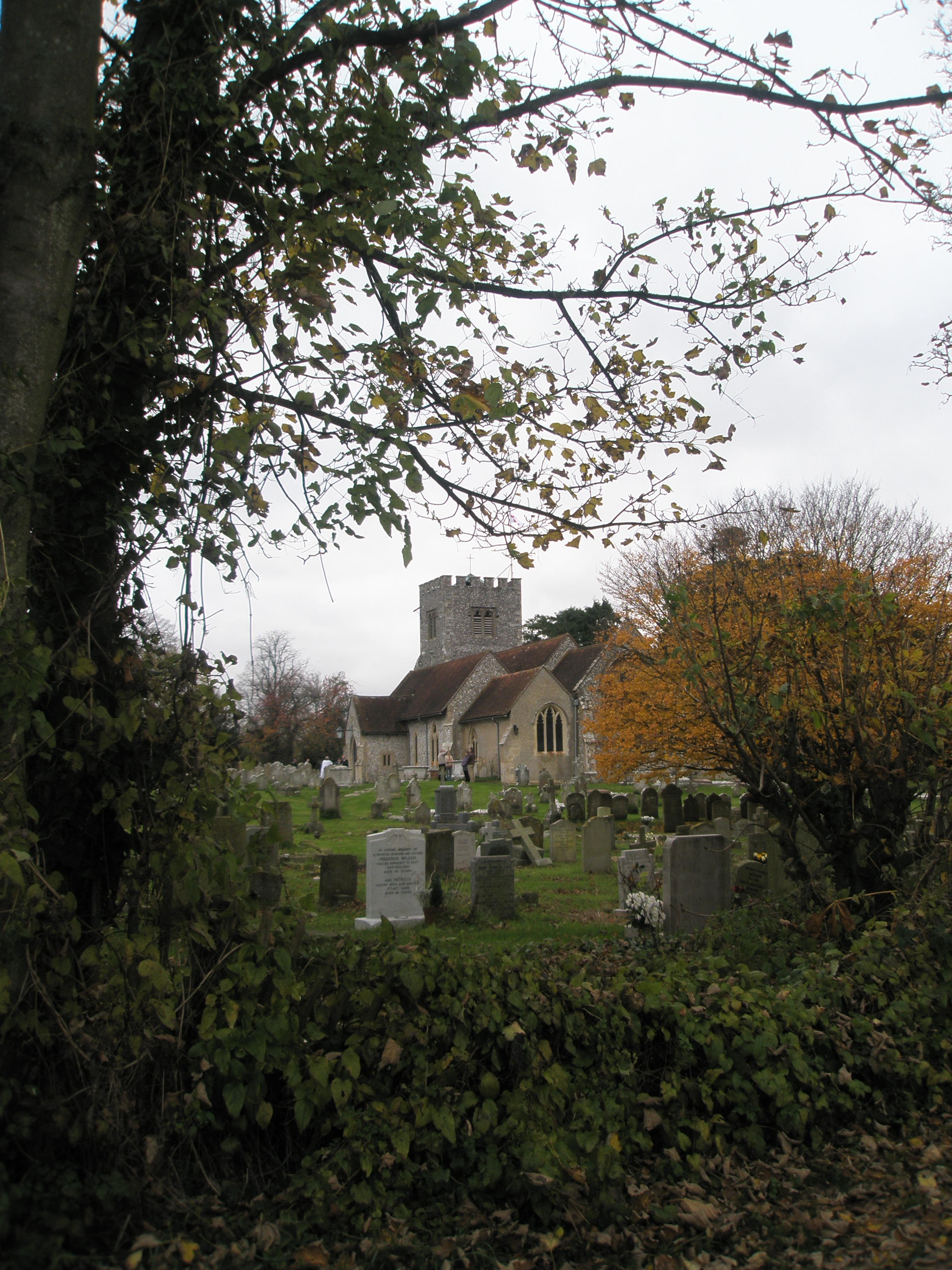
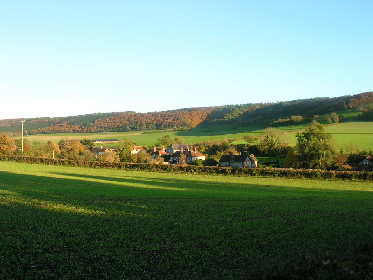
Down Copse Images
Images are sourced within 2km of 50.881484/-0.87480668 or Grid Reference SU7909. Thanks to Geograph Open Source API. All images are credited.
Down Copse is located at Grid Ref: SU7909 (Lat: 50.881484, Lng: -0.87480668)
Administrative County: West Sussex
District: Chichester
Police Authority: Sussex
What 3 Words
///craftsmen.obstinate.trips. Near Emsworth, Hampshire
Nearby Locations
Related Wikis

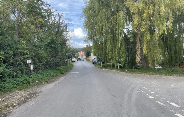
Walderton
Walderton is a hamlet in the Chichester district of West Sussex, England. It lies on the B2146 road 4 miles (6.4 km) northeast of Emsworth. It is in the...
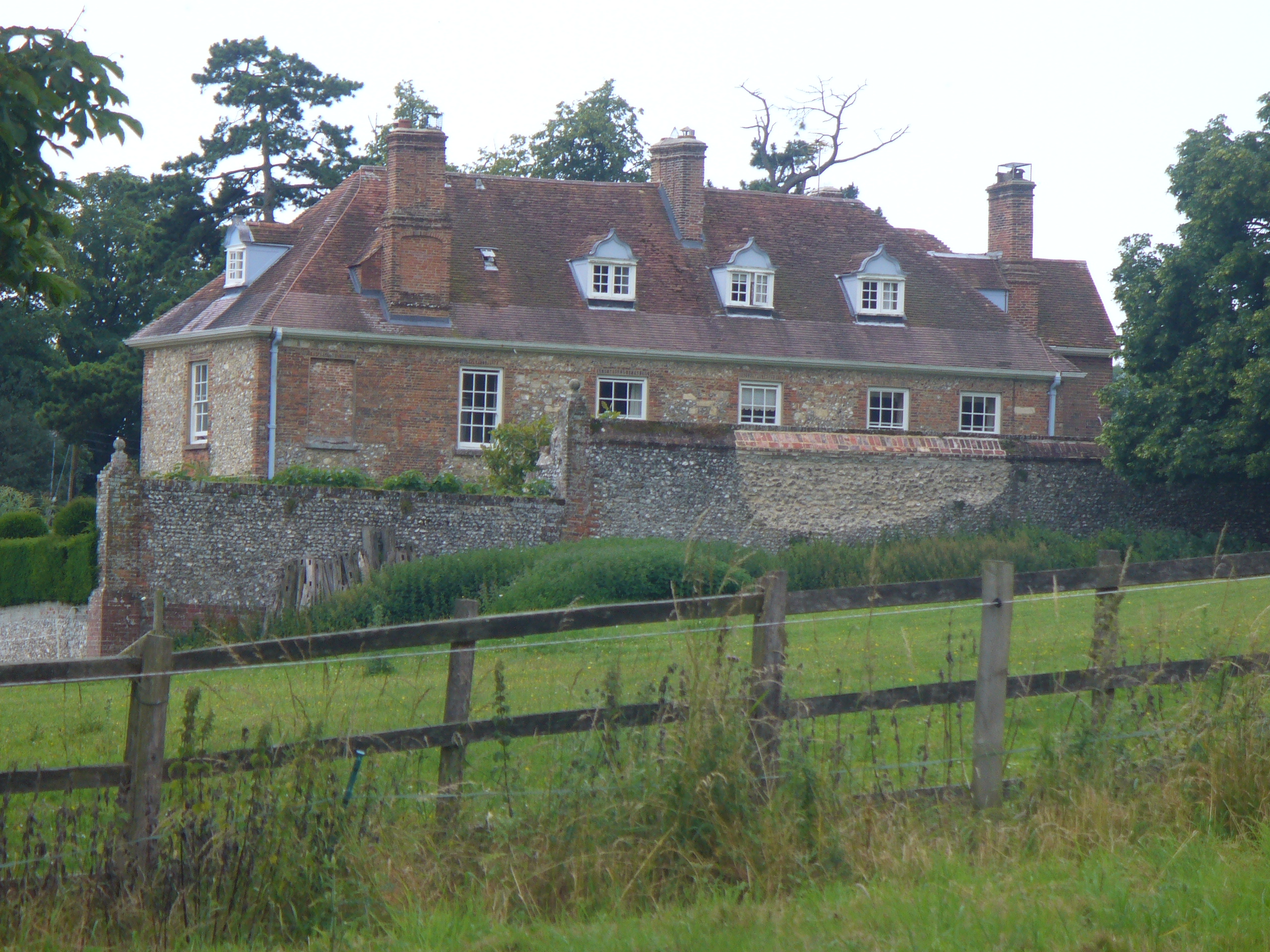
Lordington House
Lordington House is a manor house near Walderton in West Sussex. It is a Grade II* listed building. == History == Lordington House was built around 1500...
Racton
Racton is a hamlet in the Chichester district of West Sussex, England. It lies on the B2147 road 2.1 miles (3.4 km) northeast of Emsworth and within the...
Funtington
Funtington is a village and civil parish in the Chichester district of West Sussex, England. It lies on the B2146 Road 4.5 miles (7.2 km) west of Chichester...

Racton Monument
Racton Monument (known locally as Racton Ruin) is a folly on a hill in Racton, West Sussex, England with views over Chichester Harbour and to the Isle...
Stoughton, West Sussex
Stoughton is a village and civil parish in the District of Chichester in West Sussex, England located nine kilometres (5.6 miles) north west of Chichester...

RAF Funtington
Royal Air Force Funtington or more simply RAF Funtington is a former Royal Air Force Advanced Landing Ground located in West Sussex, England. == History... ==

Woodmancote, Chichester District
Woodmancote is a village in the Chichester district of West Sussex, England. It lies just off the B2147 road 2 miles (3.2 km) northeast of Emsworth. It...
Nearby Amenities
Located within 500m of 50.881484,-0.87480668Have you been to Down Copse?
Leave your review of Down Copse below (or comments, questions and feedback).