Bowenhurst Copse

Wood, Forest in Hampshire Hart

England

Bowenhurst Copse

Farmland, Crondall A footpath follows the hedgerow with Penn Croft Farm in the trees to the right.
Farmland, Crondall Credit: Andrew Smith

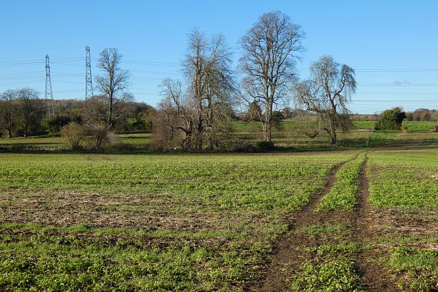
Bowenhurst Copse is a picturesque woodland located in Hampshire, England. Covering an area of approximately 100 acres, it is nestled in the heart of the village of Bowenhurst, near the town of Odiham. The copse is a popular destination for nature lovers, hikers, and birdwatchers due to its diverse flora and fauna.

The woodland is predominantly composed of deciduous trees, including oak, beech, and ash. These towering trees create a dense canopy, providing shade and shelter for the various wildlife that call Bowenhurst Copse their home. The forest floor is adorned with a rich carpet of bluebells and wildflowers during the spring months, adding to the copse's natural beauty.

The copse is crisscrossed by a network of well-maintained footpaths, allowing visitors to explore the woodland at their own pace. There are also designated picnic areas and benches scattered throughout the copse, providing opportunities for visitors to relax and enjoy the tranquil surroundings.

Bird enthusiasts will delight in the copse's avian inhabitants, which include woodpeckers, nuthatches, and various species of owls. Additionally, small mammals such as foxes, squirrels, and badgers can often be spotted darting between the trees.

Bowenhurst Copse offers a peaceful retreat from the hustle and bustle of everyday life, providing an idyllic setting for leisurely walks, picnics, and nature appreciation. With its abundant wildlife and stunning natural scenery, it is a must-visit destination for anyone seeking solace in the beauty of the Hampshire countryside.

If you have any feedback on the listing, please let us know in the comments section below.

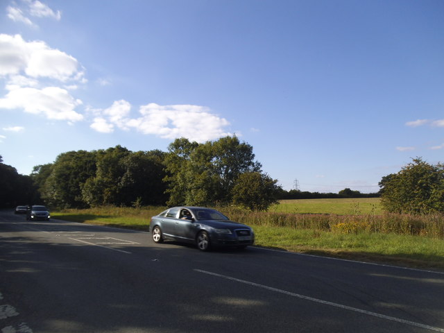
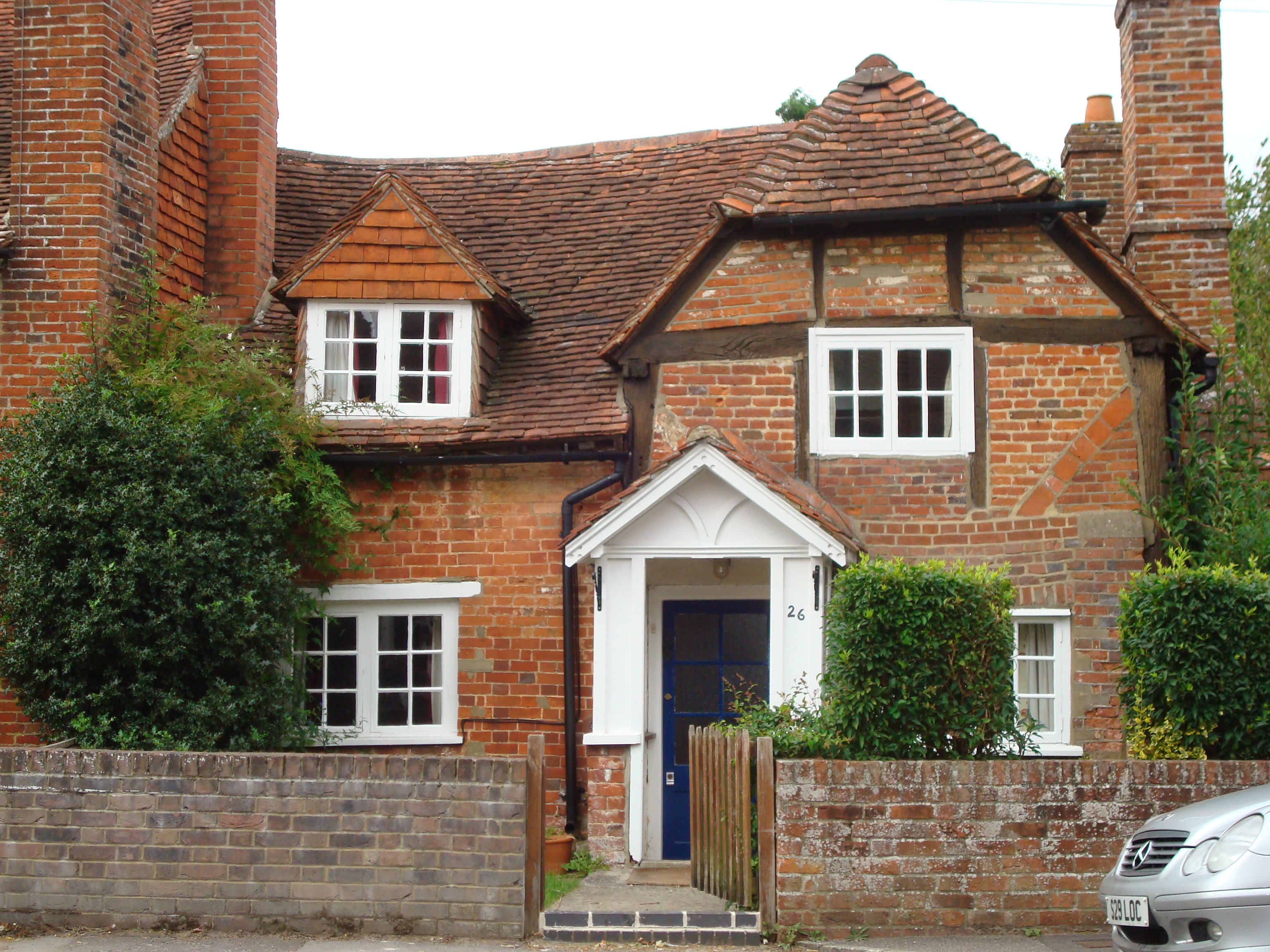
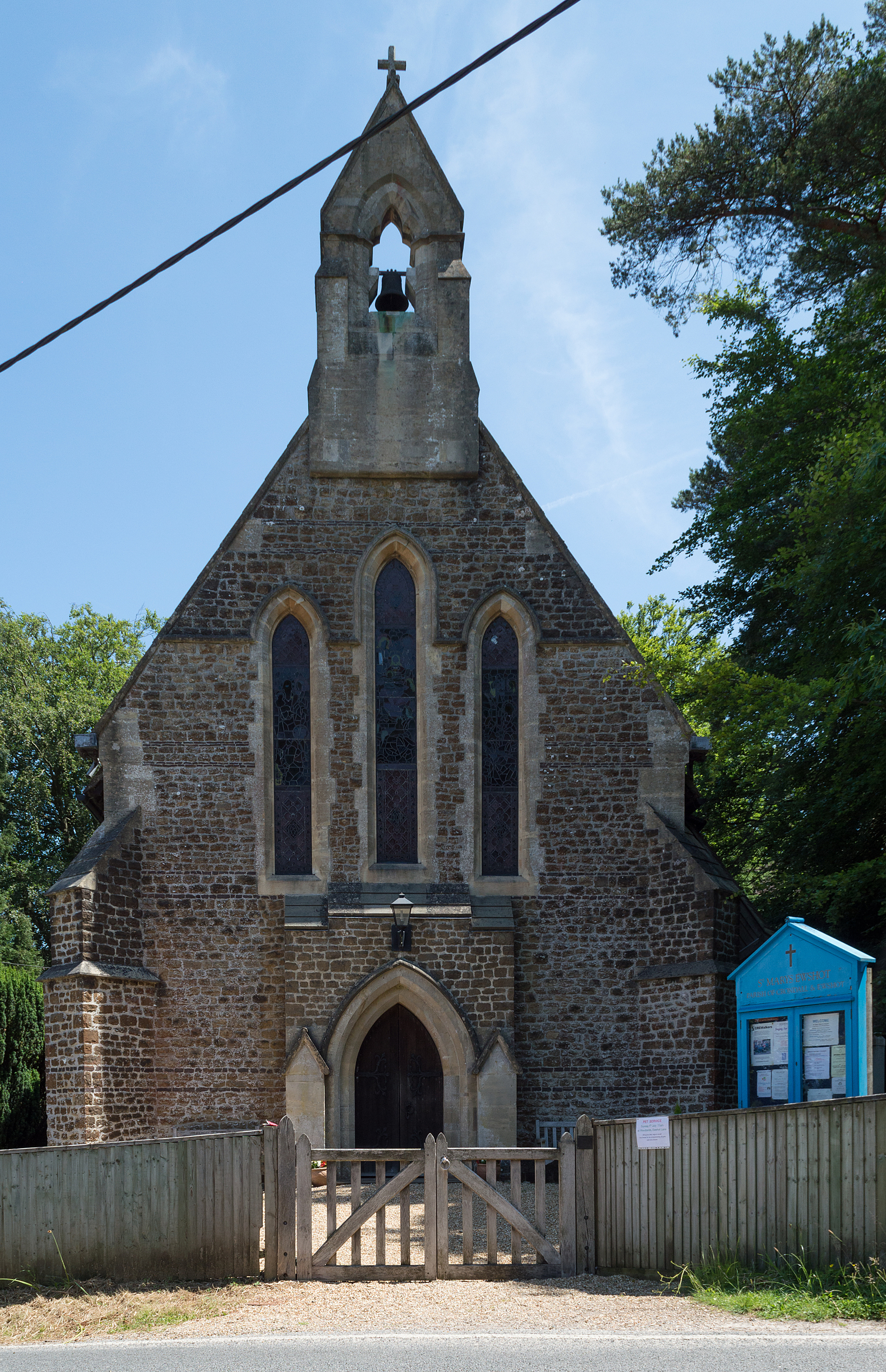
Bowenhurst Copse Images

Images are sourced within 2km of 51.247314/-0.86611882 or Grid Reference SU7950. Thanks to Geograph Open Source API. All images are credited.

Farmland, Crondall A footpath follows the hedgerow with Penn Croft Farm in the trees to the right.
Farmland, Crondall
A footpath follows the hedgerow with Penn Croft Farm in the trees to the right.
Farmland, Crondall The footpath crossing fields to the north of Itchel Home Farm.
Farmland, Crondall
The footpath crossing fields to the north of Itchel Home Farm.
Green Springs, Crondall Part of a small estate on the north-western edge of the village.
Green Springs, Crondall
Part of a small estate on the north-western edge of the village.
Crondall - Parish Church All Saints Church dates back to the 12th century.
Crondall - Parish Church
All Saints Church dates back to the 12th century.
Bin day in Church Street
A Field Marshall's grave in Crondall Churchyard That of Lord Bramall <span class="nowrap"><a title="https://en.wikipedia.org/wiki/Edwin_Bramall" rel="nofollow ugc noopener" href="https://en.wikipedia.org/wiki/Edwin_Bramall">Link</a><img style="margin-left:2px;" alt="External link" title="External link - shift click to open in new window" src="https://s1.geograph.org.uk/img/external.png" width="10" height="10"/></span>
Also in shot are the CWGC graves of Private W.E.Sherman <span class="nowrap"><a title="https://www.cwgc.org/find-records/find-war-dead/casualty-details/2758342/william-edgar-sherman/" rel="nofollow ugc noopener" href="https://www.cwgc.org/find-records/find-war-dead/casualty-details/2758342/william-edgar-sherman/">Link</a><img style="margin-left:2px;" alt="External link" title="External link - shift click to open in new window" src="https://s1.geograph.org.uk/img/external.png" width="10" height="10"/></span> Private W. Farmer <span class="nowrap"><a title="https://www.cwgc.org/find-records/find-war-dead/casualty-details/2758339/w-farmer/" rel="nofollow ugc noopener" href="https://www.cwgc.org/find-records/find-war-dead/casualty-details/2758339/w-farmer/">Link</a><img style="margin-left:2px;" alt="External link" title="External link - shift click to open in new window" src="https://s1.geograph.org.uk/img/external.png" width="10" height="10"/></span> Private J. Pound <span class="nowrap"><a title="https://www.cwgc.org/find-records/find-war-dead/casualty-details/2758341/john-pound/" rel="nofollow ugc noopener" href="https://www.cwgc.org/find-records/find-war-dead/casualty-details/2758341/john-pound/">Link</a><img style="margin-left:2px;" alt="External link" title="External link - shift click to open in new window" src="https://s1.geograph.org.uk/img/external.png" width="10" height="10"/></span> and Sapper H. Wooderson <span class="nowrap"><a title="https://www.cwgc.org/find-records/find-war-dead/casualty-details/2758343/harry-wooderson/" rel="nofollow ugc noopener" href="https://www.cwgc.org/find-records/find-war-dead/casualty-details/2758343/harry-wooderson/">Link</a><img style="margin-left:2px;" alt="External link" title="External link - shift click to open in new window" src="https://s1.geograph.org.uk/img/external.png" width="10" height="10"/></span>
A Field Marshall's grave in Crondall Churchyard
That of Lord Bramall LinkExternal link Also in shot are the CWGC graves of Private W.E.Sherman LinkExternal link Private W. Farmer LinkExternal link Private J. Pound LinkExternal link and Sapper H. Wooderson LinkExternal link
Pankridge Street, Crondall The post office has had a new frontage within the last year.
Pankridge Street, Crondall
The post office has had a new frontage within the last year.
Cottage on Well Road, Crondall
Cottage garden on Well Road, Crondall
Dippenhall Street, Crondall
Old Direction Sign - Signpost by Hyde Lane, Bowling Alley Annulus finial - 3 arms; Hampshire Parish halo by the UC road, in parish of Crondall (Hart District), Hyde Lane, Bowling Alley (lane), on grass island.

Surveyed

Milestone Society National ID: HA_SU7949
Old Direction Sign - Signpost by Hyde Lane, Bowling Alley
Annulus finial - 3 arms; Hampshire Parish halo by the UC road, in parish of Crondall (Hart District), Hyde Lane, Bowling Alley (lane), on grass island. Surveyed Milestone Society National ID: HA_SU7949
Dippenhall Street, Crondall
Junction on Farnham Road, Bowling Alley
Farnham Road by Rye Common
Show me another place!

Bowenhurst Copse is located at Grid Ref: SU7950 (Lat: 51.247314, Lng: -0.86611882)

Administrative County: Hampshire

District: Hart

Police Authority: Hampshire

What 3 Words

///decimal.roadmap.trifling. Near Crondall, Hampshire

Related Wikis

St Nicholas' School, Hampshire

St Nicholas' School is a private day school for girls in Church Crookham, a village at the southern edge of Fleet, Hampshire, England. The school educates...

Mill Lane, Hampshire

Mill Lane is a hamlet in Hampshire, England. Its nearest town is Fleet approximately 2.5 miles away. The hamlet lies on the A287 road between Odiham and...

Crondall

Crondall () is a village and large civil parish in the north east of Hampshire in England, in the Crondall Hundred surveyed in the Domesday Book of 1086...

All Saints Church, Crondall

All Saints Church is an Anglican parish church in the village of Crondall, Hampshire, England. It is a Grade I listed building and stands at the highest...

Rye, Hampshire

Rye is a hamlet in the civil parish of Odiham, in the Hart district of Hampshire, England. The hamlet lies near the A287 road between Odiham and Farnham...
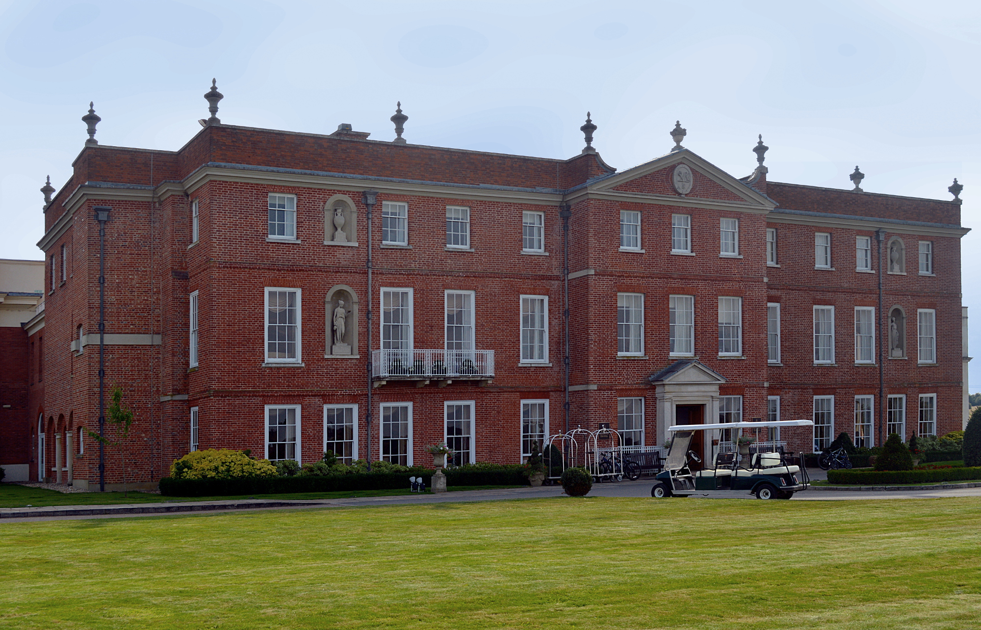
Dogmersfield Park

Dogmersfield Park or Dogmersfield House is a Grade I listed Georgian country house, now being used as a hotel. It is located in Dogmersfield, a small village...

Ewshot

Ewshot is a village and civil parish in Hampshire, England. It lies in the north east of the county, close to the Surrey border. The name Ewshot comes...

Queen Elizabeth Barracks, Church Crookham

Queen Elizabeth Barracks was a military installation at Church Crookham, Hampshire, England. == History == The barracks, which were originally known as...

Nearby Amenities

Located within 500m of 51.247314,-0.86611882
Fuel
BP Crondall SF Connect
Brand: BP
Brand Wikidata: Q152057
Website: https://map.bp.com/en-GB/GB/petrol-station/farnham/crondall-sf-connect/664249670
Lat/Long: 51.2462587/-0.8708596
Downsland
Addr Housename: Downsland
Building: house
Source: NPE
Lat/Long: 51.2447427/-0.8628521
Power: tower
Source: bing
Lat/Long: 51.2463311/-0.8602423
Power: tower
Source: bing
Lat/Long: 51.2469981/-0.8633766
Power: tower
Source: bing
Lat/Long: 51.2478018/-0.8671687
Power: tower
Source: bing
Lat/Long: 51.2487241/-0.8713693
Barrier: kissing_gate
Lat/Long: 51.2448417/-0.8665354
Give Way
Direction: forward
Lat/Long: 51.2459908/-0.8702119
Crossing
Crossing: unmarked
Crossing Markings: no
Source: Bing StreetSide
Tactile Paving: no
Lat/Long: 51.2460934/-0.8711781
Give Way
Direction: backward
Lat/Long: 51.2458363/-0.8606289
Traffic Calming: island
Lat/Long: 51.2458108/-0.8617313
Direction: 205
Generator Method: photovoltaic
Generator Output Electricity: yes
Generator Solar Modules: 16
Generator Source: solar
Generator Type: solar_photovoltaic_panel
Location: roof
Power: generator
Lat/Long: 51.247831/-0.8702646
Direction: 175
Generator Method: photovoltaic
Generator Output Electricity: yes
Generator Solar Modules: 24
Generator Source: solar
Generator Type: solar_photovoltaic_panel
Location: roof
Power: generator
Lat/Long: 51.2517814/-0.8660692
Barrier: kerb
Kerb: lowered
Source: Bing;Bing StreetSide
Lat/Long: 51.2461091/-0.8712277
Barrier: kerb
Kerb: lowered
Source: Bing;Bing StreetSide
Lat/Long: 51.2460781/-0.8711297
Barrier: kerb
Source: Bing
Lat/Long: 51.2461535/-0.8705477
Barrier: kerb
Source: Bing
Lat/Long: 51.246208/-0.8715683
Give Way
Direction: forward
Lat/Long: 51.2459911/-0.8704007
Give Way
Direction: backward
Lat/Long: 51.24583/-0.869947
The data included in this document is from www.openstreetmap.org. The data is made available under ODbL.

Have you been to Bowenhurst Copse?

Leave your review of Bowenhurst Copse below (or comments, questions and feedback).