Berry Covert
Wood, Forest in Leicestershire Melton
England
Berry Covert

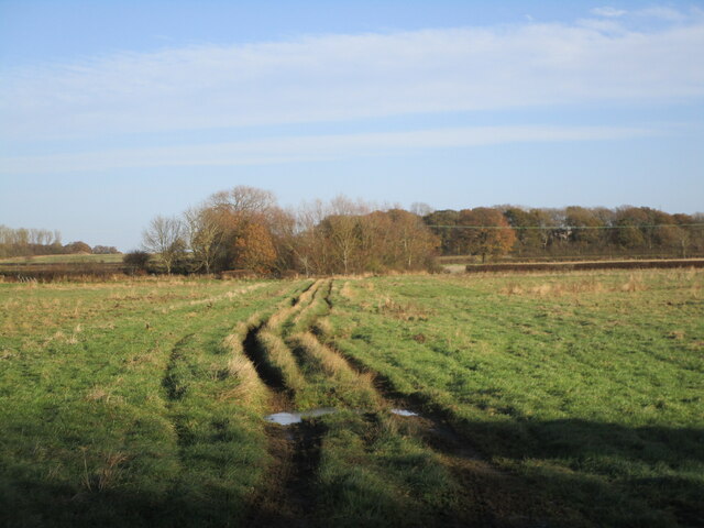
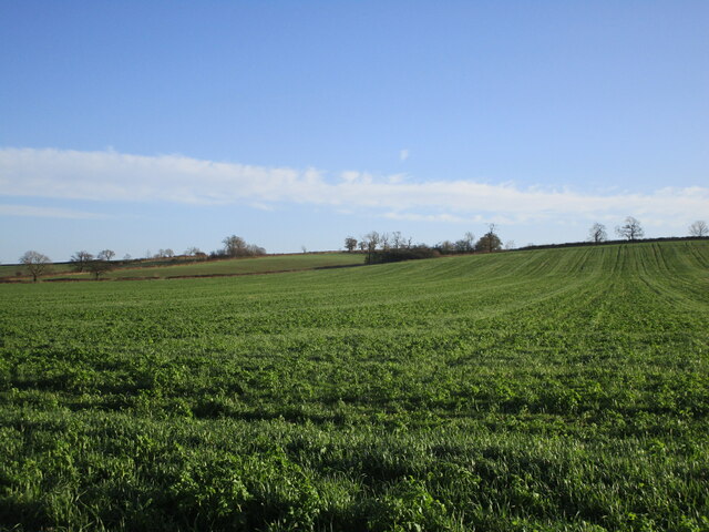
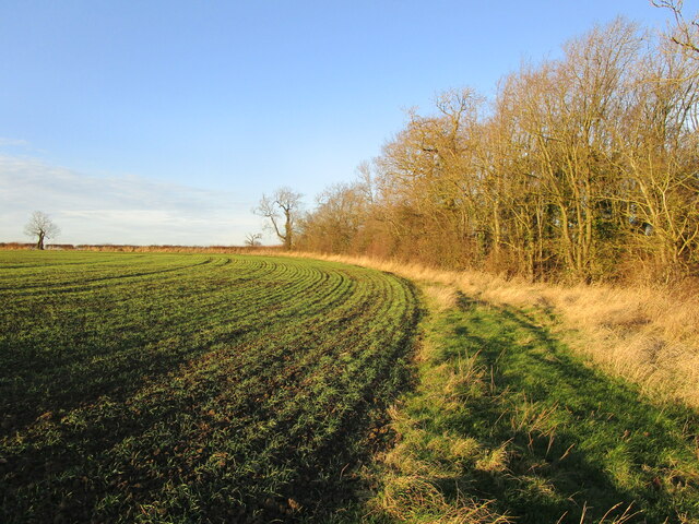
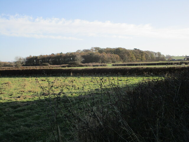
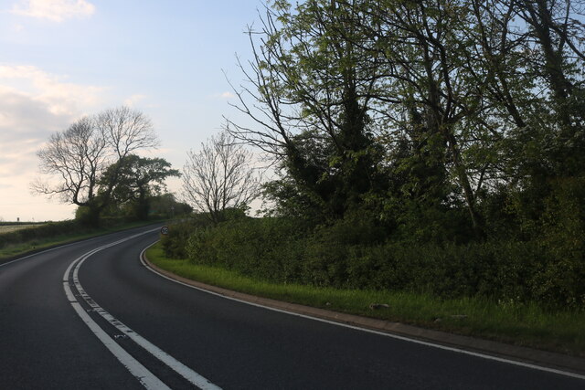
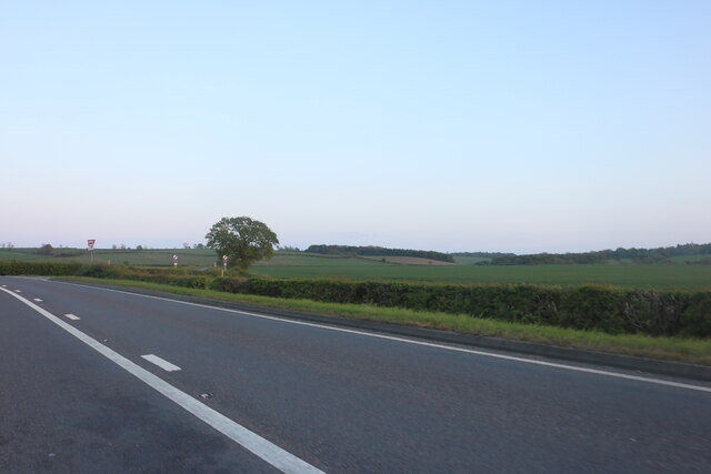
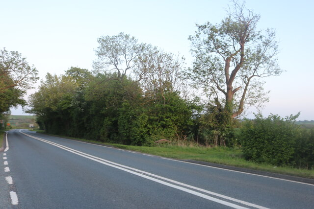
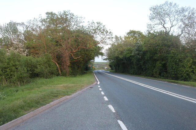
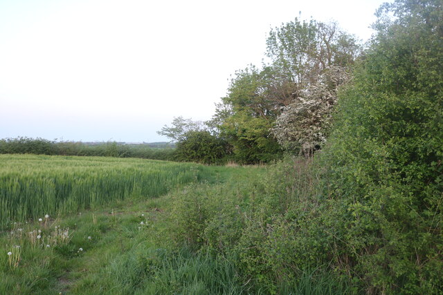
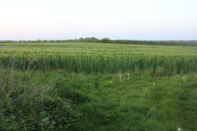
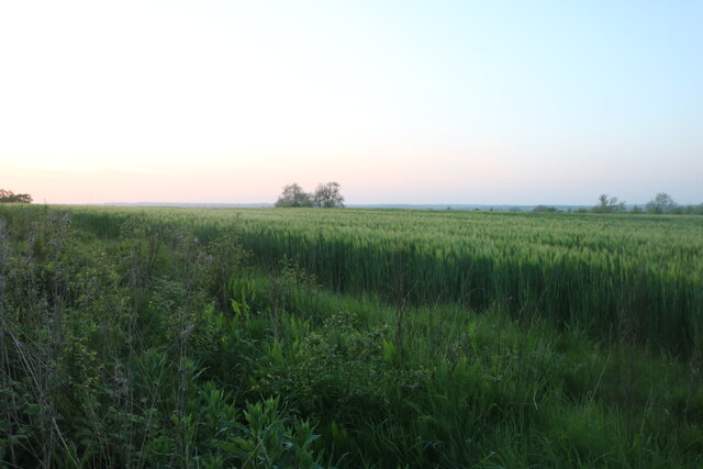
Berry Covert is a wood, forest located in Leicestershire, England. It covers an area of approximately 20 acres and is situated near the village of Berry, creating a serene and picturesque setting for nature enthusiasts and visitors alike.
The woodland is predominantly composed of mature broadleaf trees, including oak, ash, and beech, which provide a rich habitat for a variety of wildlife. The forest floor is adorned with an array of wildflowers and ferns, adding to its natural beauty and biodiversity.
Berry Covert offers several walking trails and pathways, allowing visitors to explore the woodland and immerse themselves in its tranquil atmosphere. The paths are well-maintained and suitable for all ages and abilities. Along the way, visitors may encounter an assortment of wildlife, including squirrels, rabbits, and a variety of bird species, making it an ideal spot for birdwatching enthusiasts.
The woodland boasts a diverse ecosystem, with a small stream meandering through its heart, providing a source of water for both the flora and fauna that call Berry Covert their home. The presence of the stream also adds to the overall charm and serenity of the woodland.
Berry Covert is a popular destination for nature lovers, hikers, and families seeking a peaceful retreat in the heart of Leicestershire. Whether it's a leisurely stroll, a picnic amidst nature, or simply enjoying the sights and sounds of the woodland, Berry Covert offers a delightful experience for all who visit.
If you have any feedback on the listing, please let us know in the comments section below.
Berry Covert Images
Images are sourced within 2km of 52.733384/-0.82882951 or Grid Reference SK7915. Thanks to Geograph Open Source API. All images are credited.


Berry Covert is located at Grid Ref: SK7915 (Lat: 52.733384, Lng: -0.82882951)
Administrative County: Leicestershire
District: Melton
Police Authority: Leicestershire
What 3 Words
///returns.plenty.spurring. Near Melton Mowbray, Leicestershire
Nearby Locations
Related Wikis
Brentingby
Brentingby is a village in Leicestershire, England.The population is included in the civil parish of Freeby. The village's name means either 'farm/settlement...

Burton and Dalby
Burton and Dalby is a civil parish in the Melton district of Leicestershire, England, to the south of Melton Mowbray. It covers the villages of Burton...

Burton Lazars
Burton Lazars is a village and former civil parish, now in the parish of Burton and Dalby, in the Melton district, in the county of Leicestershire, England...
St Mary's Church, Brentingby
St Mary's Church is a redundant Anglican church in the village of Brentingby, Leicestershire, England. The walls of the church required renovation when...

St Mary Magdalene's Church, Stapleford
St Mary Magdalene's Church is a redundant Anglican church near the village of Stapleford, Leicestershire, England. It is recorded in the National Heritage...
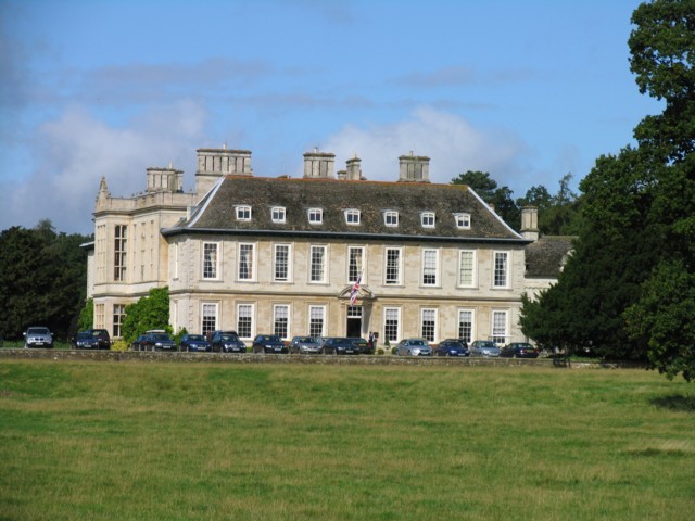
Stapleford Park
Stapleford Park is a Grade I listed country house in Stapleford, near Melton Mowbray in Leicestershire, England, which is now used as a hotel. It was originally...

Stapleford Miniature Railway
Stapleford Miniature Railway is an historic steam locomotive-hauled 10+1⁄4 in (260 mm) gauge railway at Stapleford Park, Stapleford near Melton Mowbray...

Stapleford, Leicestershire
Stapleford is a village and former civil parish, now in the parish of Freeby, in the Melton district of Leicestershire, England, east of Melton Mowbray...
Nearby Amenities
Located within 500m of 52.733384,-0.82882951Have you been to Berry Covert?
Leave your review of Berry Covert below (or comments, questions and feedback).