Three Cocked Hat Wood
Wood, Forest in Lincolnshire
England
Three Cocked Hat Wood

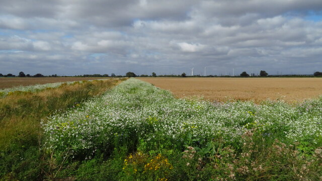
Three Cocked Hat Wood is a picturesque woodland located in Lincolnshire, England. Covering an area of approximately 50 acres, this forest is known for its diverse range of flora and fauna, making it a popular destination for nature enthusiasts and hikers alike.
The wood is named after its unique shape, resembling three cocked hats when viewed from above. It is characterized by its dense canopy of tall, mature trees, including oak, beech, and birch. These trees provide a haven for a variety of bird species, such as woodpeckers, owls, and thrushes, which can be heard singing their melodious tunes throughout the day.
Wandering through the woodland, visitors can appreciate the tranquility and beauty of nature. The forest floor is carpeted with a vibrant array of wildflowers, including bluebells, primroses, and wild garlic, creating a picturesque scene during the springtime. The wood is also home to several species of native mammals, such as deer, foxes, and badgers, which can occasionally be spotted by lucky observers.
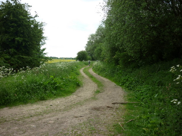
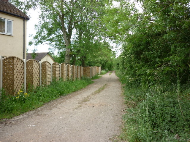
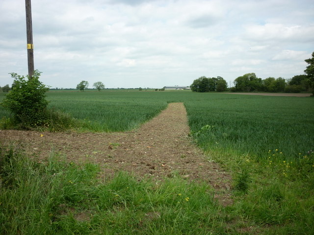
The wood boasts a network of well-maintained footpaths, allowing visitors to explore its many hidden corners. There are also picnic areas and benches dotted throughout the forest, providing the perfect opportunity to stop and enjoy a packed lunch amidst the peaceful surroundings.
Three Cocked Hat Wood offers a welcome respite from the hustle and bustle of everyday life, providing a serene and enchanting setting for nature lovers to immerse themselves in the beauty of Lincolnshire's natural landscape.
If you have any feedback on the listing, please let us know in the comments section below.
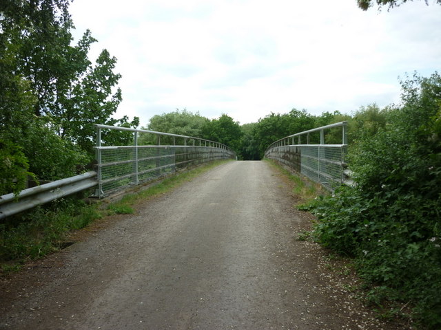
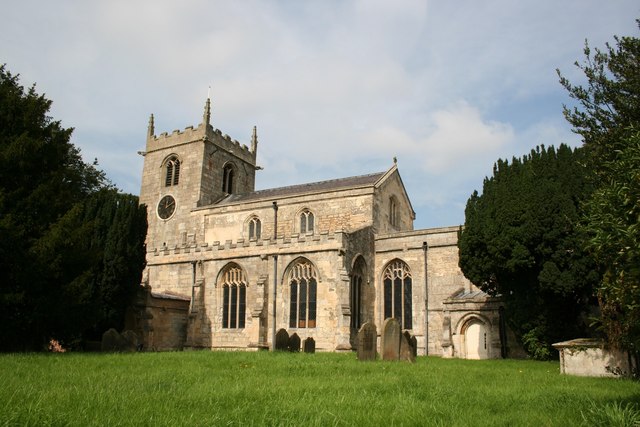
Three Cocked Hat Wood Images
Images are sourced within 2km of 53.566988/-0.8072571 or Grid Reference SE7908. Thanks to Geograph Open Source API. All images are credited.


Three Cocked Hat Wood is located at Grid Ref: SE7908 (Lat: 53.566988, Lng: -0.8072571)
Unitary Authority: North Lincolnshire
Police Authority: Humberside
What 3 Words
///herring.length.enlighten. Near Belton, Lincolnshire
Nearby Locations
Related Wikis
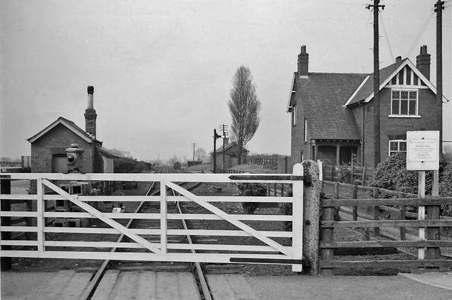
Belton railway station
Belton railway station was a station that served the village of Belton on the Isle of Axholme in Lincolnshire, England on the Axholme Joint Railway....
Belton, North Lincolnshire
Belton is a village and civil parish in the Isle of Axholme area of North Lincolnshire, England. It is situated on the A161 road, and approximately 6 miles...

Brigg and Goole (UK Parliament constituency)
Brigg and Goole is a constituency in Yorkshire and Lincolnshire represented in the House of Commons of the UK Parliament since 2010 by Andrew Percy, a...

Isle of Axholme Rural District
Isle of Axholme was a rural district in Lincolnshire, Parts of Lindsey from 1894 to 1974. It was formed under the Local Government Act 1894 based on the...

Bracon
Bracon is a hamlet in North Lincolnshire, England. Bracon lies within the Isle of Axholme and the civil parish of Belton, a village to the north to which...
Hyrst Priory
Hyrst (or Hirst) Priory was a priory just south of the town of Crowle in the Isle of Axholme, Lincolnshire, England. It was dedicated to St. Mary. ��2...

Hirst Priory
Hirst Priory is an 18th-century country house in Belton on the Isle of Axholme, North Lincolnshire, United Kingdom. The current house was built on the...

Crowle railway station
Crowle railway station serves the town of Crowle in North Lincolnshire, England. Most services are provided by Northern Trains, who operate the station...
Nearby Amenities
Located within 500m of 53.566988,-0.8072571Have you been to Three Cocked Hat Wood?
Leave your review of Three Cocked Hat Wood below (or comments, questions and feedback).