Watercroft Wood
Wood, Forest in Oxfordshire
England
Watercroft Wood

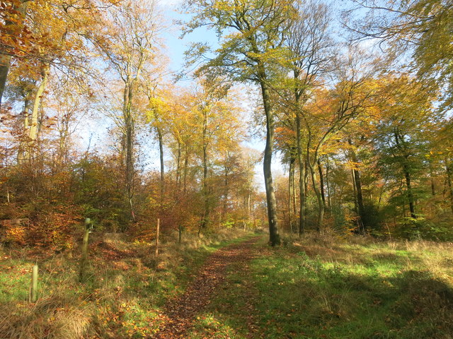
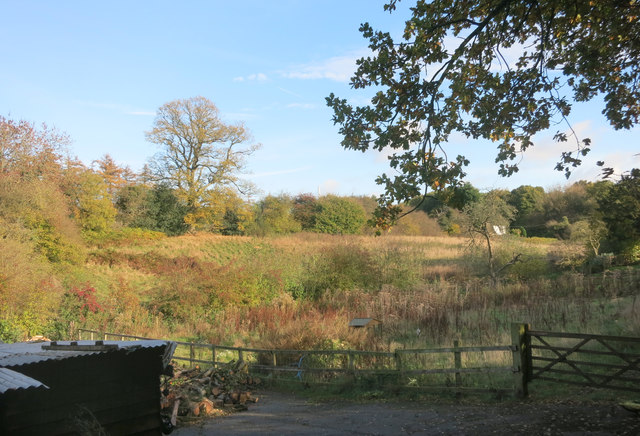
Watercroft Wood is a picturesque woodland located in Oxfordshire, England. Covering an area of approximately 50 hectares, it is a serene and tranquil haven for nature lovers and outdoor enthusiasts alike. The wood is situated within the parish of Watercroft, near the town of Henley-on-Thames, and is easily accessible for visitors.
Watercroft Wood boasts a diverse range of tree species, including oak, beech, and birch, creating a rich and varied ecosystem. The woodland floor is carpeted with a stunning array of flora, such as bluebells, primroses, and wild garlic, which add vibrant bursts of color throughout the year.
The wood is crisscrossed with a network of well-maintained footpaths, making it an ideal place for leisurely walks, jogging, or even horse riding. These paths lead visitors through the heart of the wood, allowing them to fully immerse themselves in the natural beauty of the surroundings. There are also designated picnic areas where visitors can relax and enjoy a meal amidst the peaceful ambiance of the wood.
Watercroft Wood is home to various wildlife species, including deer, badgers, foxes, and a wide range of bird species. Birdwatchers will be delighted by the opportunity to spot woodpeckers, owls, and various songbirds that inhabit the area.
Overall, Watercroft Wood offers a delightful escape from the hustle and bustle of everyday life. Whether it's for a leisurely stroll, a family picnic, or simply to appreciate the wonders of nature, this enchanting woodland is a must-visit destination in Oxfordshire.
If you have any feedback on the listing, please let us know in the comments section below.
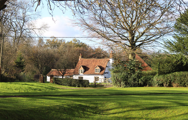
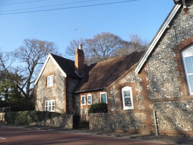
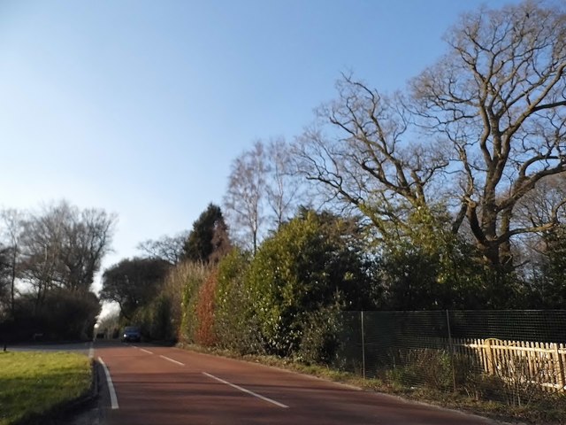
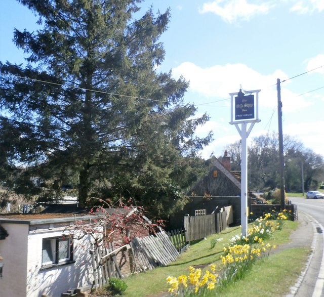
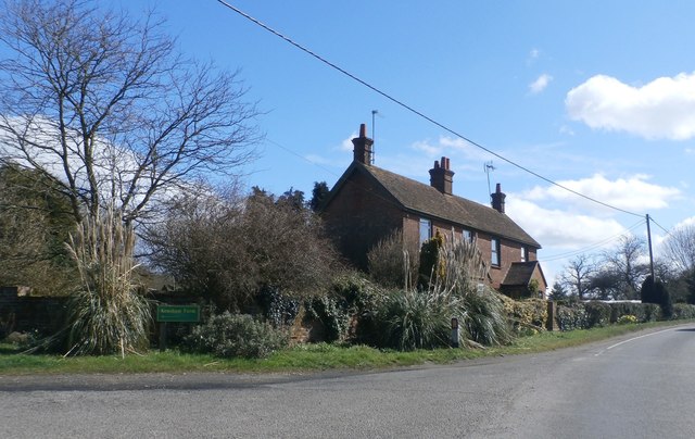
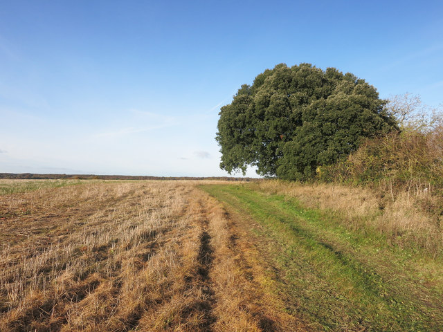
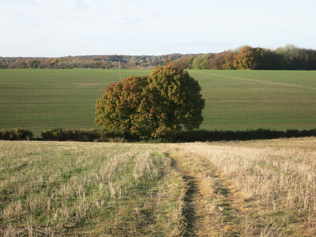
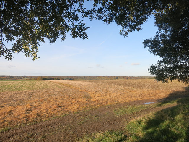
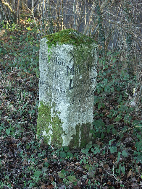
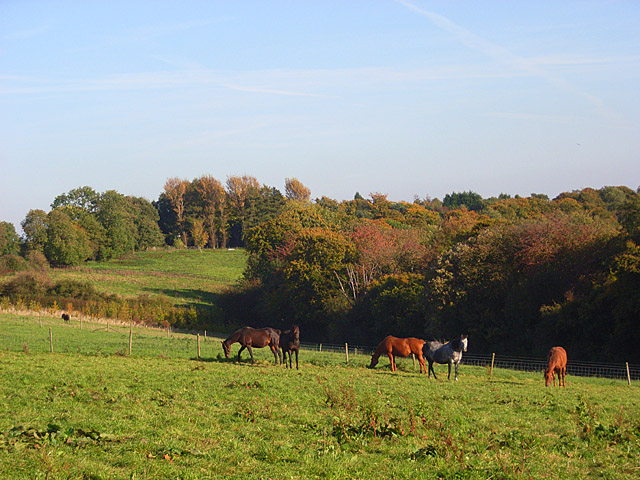
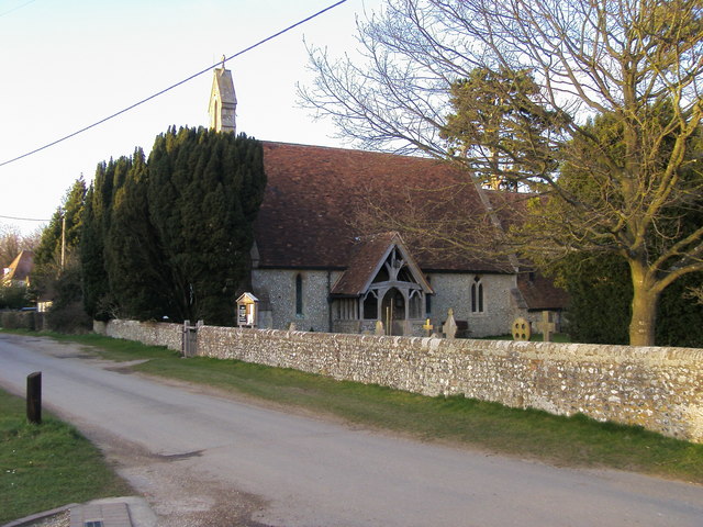
Watercroft Wood Images
Images are sourced within 2km of 51.641753/-0.85947416 or Grid Reference SU7994. Thanks to Geograph Open Source API. All images are credited.


Watercroft Wood is located at Grid Ref: SU7994 (Lat: 51.641753, Lng: -0.85947416)
Unitary Authority: Buckinghamshire
Police Authority: Thames Valley
What 3 Words
///tango.deodorant.sized. Near Stokenchurch, Buckinghamshire
Related Wikis
Horsleys Green
Horsleys Green (often incorrectly referred to as Horsley's Green) is a hamlet located on the A40 between Piddington and Stokenchurch in Buckinghamshire...
Studley Green
Studley Green is a hamlet located on the A40 between Piddington and Stokenchurch in Buckinghamshire, England. The term 'Studley Green' is also used to...
Beacon's Bottom
Beacon's Bottom, also known as Bacon's Bottom, is a hamlet on the A40 between Piddington and Stokenchurch in England. Until 1895 it was administratively...
Bottom Wood
Bottom Wood is a 14.5-hectare (36-acre) woodland in the English county of Buckinghamshire, located just north of the A40 near the hamlet of Studley Green...
Cadmore
Cadmore, also known as Cadmore End, is a village in the civil parish of Lane End in the English county of Buckinghamshire. Historically Cadmore End was...

Wheeler End
Wheeler End is a hamlet in the parish of Piddington and Wheeler End, in Buckinghamshire, England. The hamlet is located close to the main A40 between...

Piddington, Buckinghamshire
Piddington is a hamlet in the parish of Piddington and Wheeler End in Buckinghamshire, England. It is located on the main A40 between Stokenchurch and...

Waterend, Buckinghamshire
Waterend is a hamlet located on the A40 between Piddington and Stokenchurch in Buckinghamshire, England. Together with the adjacent hamlets of Horsleys...
Related Videos

Wild Camping and Hiking to Hidden Gems in the Chiltern Hills | Lejog Training Ep.20
In this hiking vlog I wild camp and hike to awesome hidden gems found in the beautiful Chiltern Hills, England. I began my hiking ...

Vlog #2 | Chilling in Chilterns |1st Time Trail Walking in the UK
The United Kingdom is filled with natural habitat and all of the natural places come under the natural trust created by the state.

Hiking Adventure - Lane End To Fingest Circular
Today I found myself in Chiltern hills national landscape where I hikes a trail called - Lane End to Fingest Circular. I found this hike ...

Which path to take? 🚶🏞️🏴 #virtualwalks
Virtual walk in Chiltern Hills Buckinghamshire England. English countryside. Full HD. Ambient sound. No music. Subscribe to the ...
Nearby Amenities
Located within 500m of 51.641753,-0.85947416Have you been to Watercroft Wood?
Leave your review of Watercroft Wood below (or comments, questions and feedback).