Stocking's Plantation
Wood, Forest in Buckinghamshire
England
Stocking's Plantation

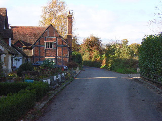
Stocking's Plantation is a picturesque woodland located in the county of Buckinghamshire, England. Situated in the heart of the Chiltern Hills, this woodland covers an area of approximately 100 acres and is a popular destination for nature enthusiasts and outdoor lovers alike.
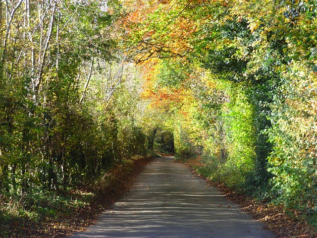
The plantation is predominantly composed of a mix of deciduous and coniferous trees, creating a diverse and vibrant ecosystem. Among the tree species found in the woodland are oak, beech, birch, and Scots pine. These towering trees provide a dense canopy, allowing the undergrowth to flourish and provide habitat for a variety of wildlife.
Walking through Stocking's Plantation, visitors can enjoy a network of well-maintained trails that wind through the woodland, offering opportunities to explore and discover its natural beauty. The trails cater to different levels of fitness and interest, ranging from leisurely strolls to more challenging hikes.
One of the highlights of the plantation is the presence of a small stream that meanders through the woodland, adding a touch of serenity to the environment. The stream is home to a diverse range of aquatic life, including small fish, amphibians, and insects.
Stocking's Plantation is also known for its rich birdlife, with numerous species of resident and migratory birds calling it home. Birdwatchers can spot a variety of species, including woodpeckers, nuthatches, and various songbirds.
Overall, Stocking's Plantation offers a tranquil and idyllic escape from the hustle and bustle of everyday life. Its natural beauty, diverse flora and fauna, and well-maintained trails make it a perfect destination for nature lovers seeking a peaceful retreat.
If you have any feedback on the listing, please let us know in the comments section below.
Stocking's Plantation Images
Images are sourced within 2km of 51.570109/-0.86149848 or Grid Reference SU7986. Thanks to Geograph Open Source API. All images are credited.


Stocking's Plantation is located at Grid Ref: SU7986 (Lat: 51.570109, Lng: -0.86149848)
Unitary Authority: Buckinghamshire
Police Authority: Thames Valley
What 3 Words
///emblem.bland.intruded. Near Remenham, Berkshire
Nearby Locations
Related Wikis
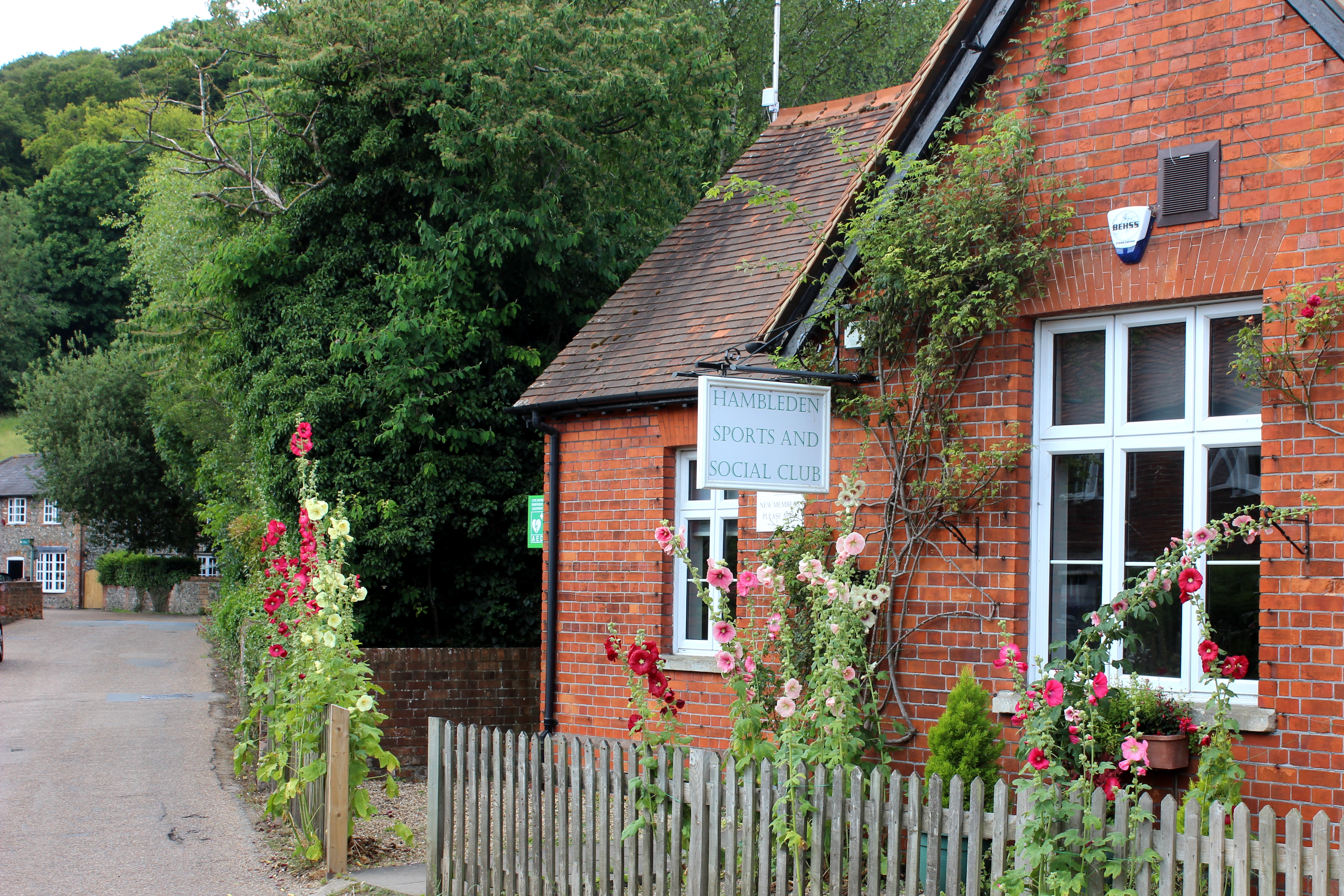
Hambleden
Hambleden is a small village and civil parish in south-west Buckinghamshire, England. The village is around 4 miles (6.4 km) west of Marlow, and around...
Hambleden Rural District
Hambleden Rural District was a rural district in Buckinghamshire, England from 1894 to 1934, covering an area in the south-west of the county. == History... ==
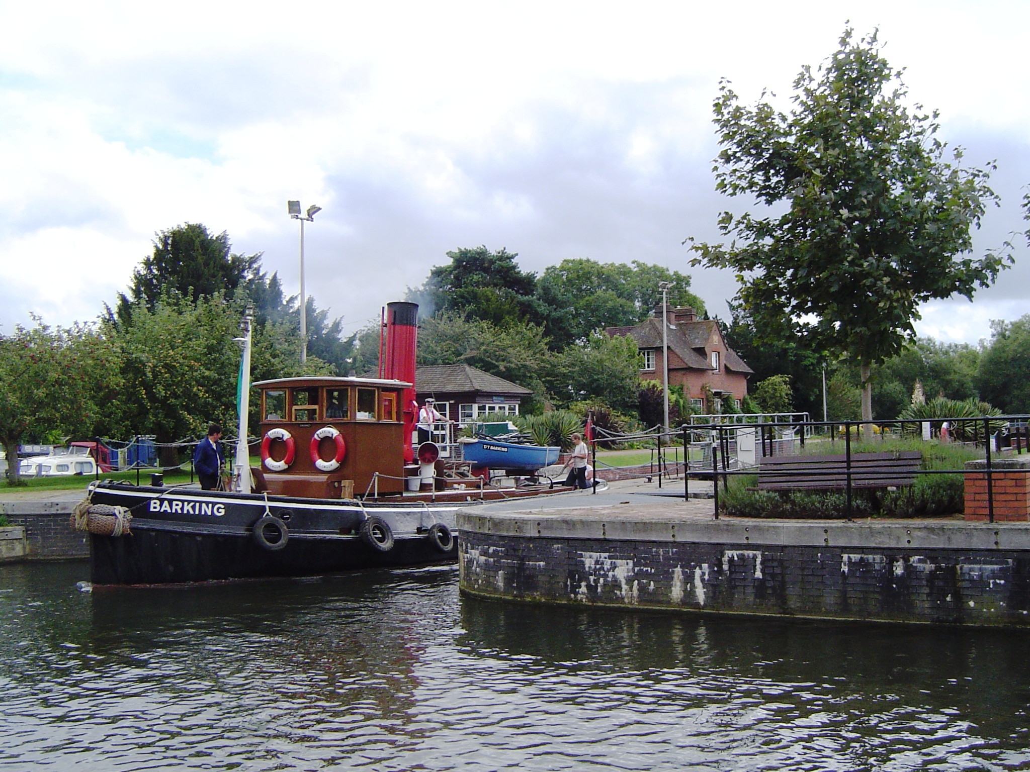
Hambleden Lock
Hambleden Lock is a lock with a long weir situated on the River Thames in England, about 2 miles downstream of Henley Bridge. The lock is on the Berkshire...

Hambleden Mill
Hambleden Mill is an historic watermill on the River Thames at Mill End, near the village of Hambleden in Buckinghamshire, England. It is linked by a footbridge...
Nearby Amenities
Located within 500m of 51.570109,-0.86149848Have you been to Stocking's Plantation?
Leave your review of Stocking's Plantation below (or comments, questions and feedback).