East Arnecliff Wood

Wood, Forest in Yorkshire Scarborough

England

East Arnecliff Wood

Stone trod near Red House On the bridleway near Red House, the grass peels back easily when it is wet.
Stone trod near Red House Credit: T Eyre

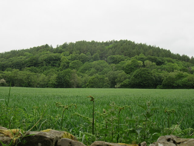
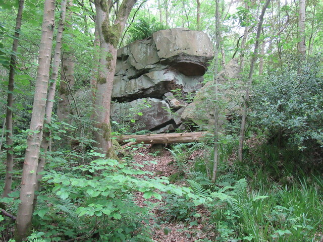
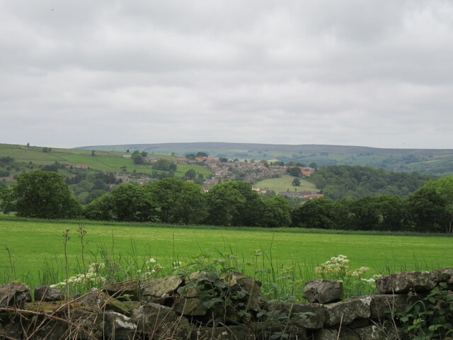
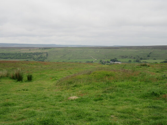
East Arnecliff Wood is a picturesque woodland located in Yorkshire, England. Situated near the village of Arnecliff, this woodland covers an area of approximately 100 acres and is known for its natural beauty and diverse flora and fauna.

The wood is primarily composed of deciduous trees, including oak, ash, beech, and birch, which create a stunning canopy during the summer months. The forest floor is covered with a variety of plants, such as bluebells, wild garlic, and ferns, adding to the enchanting atmosphere.

East Arnecliff Wood is home to a wide range of wildlife, making it a popular destination for nature enthusiasts and birdwatchers. Visitors may spot various bird species, including woodpeckers, owls, and songbirds, as well as small mammals like squirrels and hedgehogs. Additionally, the wood provides a habitat for deer and foxes, which can occasionally be spotted roaming through the trees.

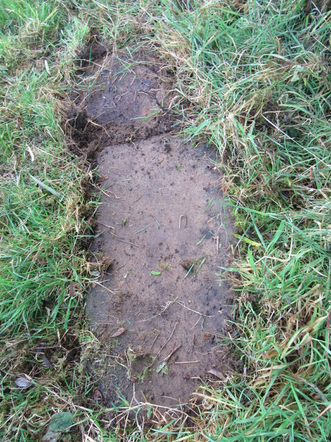
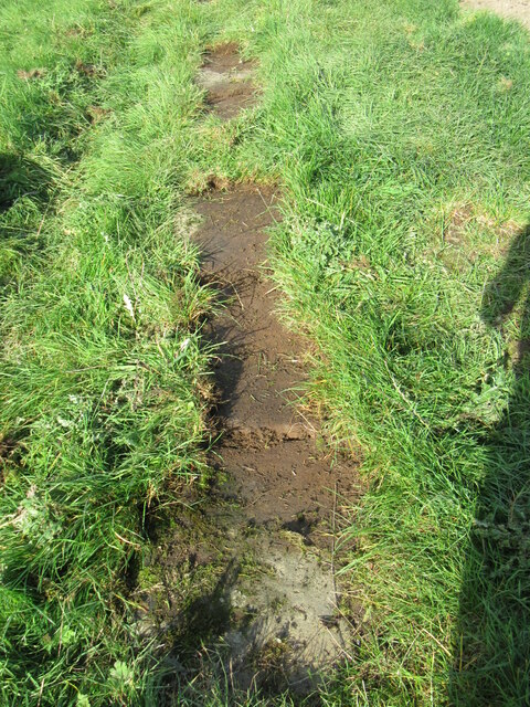
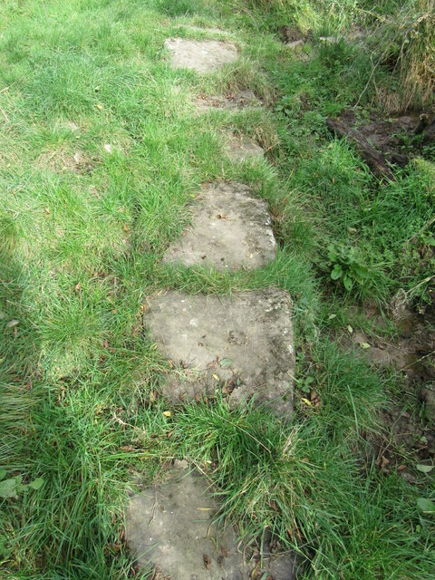
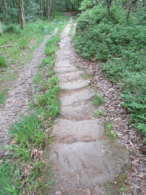
The woodland offers several walking trails, allowing visitors to explore its natural wonders at their own pace. These well-maintained paths wind through the trees, providing opportunities to immerse oneself in the serene surroundings and enjoy the peaceful ambiance.

East Arnecliff Wood is not only a place of natural beauty but also holds historical significance. Ancient remains, such as burial mounds and stone circles, can be found within the woodland, providing glimpses into the area's past.

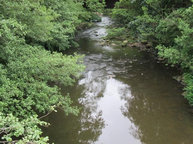
Overall, East Arnecliff Wood offers a tranquil escape from the hustle and bustle of everyday life, where visitors can connect with nature and experience the wonders of Yorkshire's countryside.

If you have any feedback on the listing, please let us know in the comments section below.

East Arnecliff Wood Images

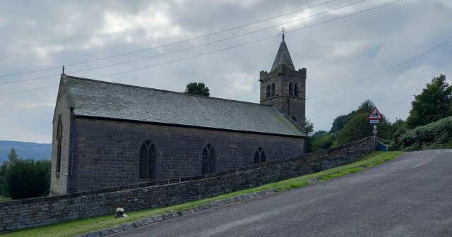
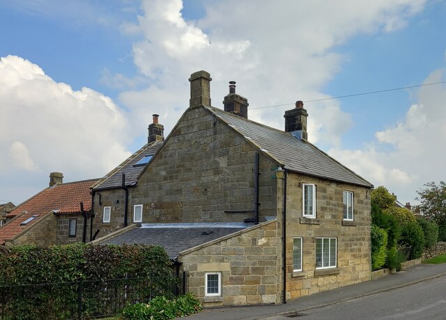
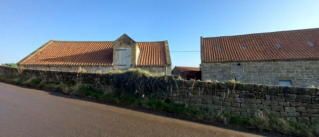
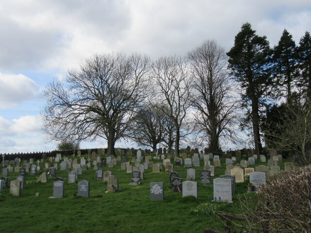
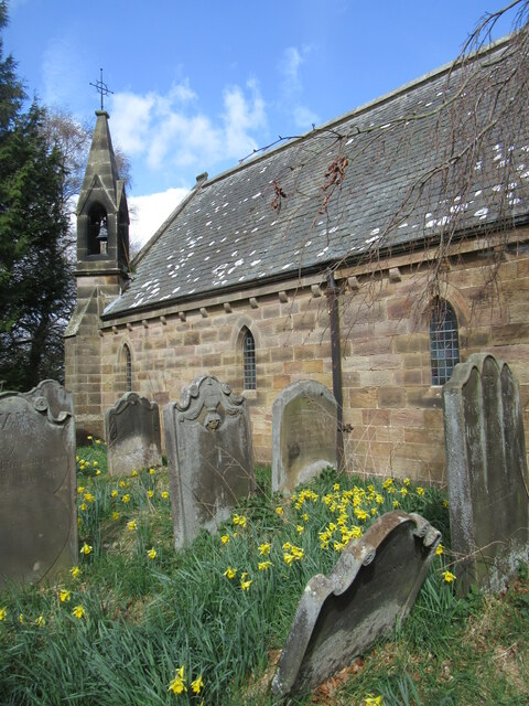
Images are sourced within 2km of 54.433187/-0.78482753 or Grid Reference NZ7804. Thanks to Geograph Open Source API. All images are credited.

Stone trod near Red House On the bridleway near Red House, the grass peels back easily when it is wet.
Stone trod near Red House
On the bridleway near Red House, the grass peels back easily when it is wet.
Stone trod near Hart Hall The grass peeled back easily.
Stone trod near Hart Hall
The grass peeled back easily.
Stone trod near West Arncliffe Wood These stones were already uncovered.
Stone trod near West Arncliffe Wood
These stones were already uncovered.
Glaisdale, St Thomas's This benchmark is cut into the north facing side wall of the parish church. It is cut about 3 foot from ground level.
Glaisdale, St Thomas's
This benchmark is cut into the north facing side wall of the parish church. It is cut about 3 foot from ground level.
Glaisdale, St Thomas's There is a benchmark cut into the north facing side wall of the parish church. It is towards the left side of this wall, and to the immediate left of a small door, which isn't shown in this picture.
Glaisdale, St Thomas's
There is a benchmark cut into the north facing side wall of the parish church. It is towards the left side of this wall, and to the immediate left of a small door, which isn't shown in this picture.
Glaisdale, The Green This private house is on the eastern side of The Green in Glaisdale. On the road facing wall, and slightly obscured by the drainpipe there is a benchmark cut into the cornerstone of the 2nd course.
Glaisdale, The Green
This private house is on the eastern side of The Green in Glaisdale. On the road facing wall, and slightly obscured by the drainpipe there is a benchmark cut into the cornerstone of the 2nd course.
Glaisdale, The Green A wider angle showing a private house on the eastern side of The Green in Glaisdale. On the road facing wall, and slightly obscured by the drainpipe there is a benchmark cut into the cornerstone of the 2nd course.
Glaisdale, The Green
A wider angle showing a private house on the eastern side of The Green in Glaisdale. On the road facing wall, and slightly obscured by the drainpipe there is a benchmark cut into the cornerstone of the 2nd course.
Glaisdale, Limber Hill Farm The benchmark is cut into the roadside wall of this old stone farm building.
Glaisdale, Limber Hill Farm
The benchmark is cut into the roadside wall of this old stone farm building.
Glaisdale, Limber Hill Farm There is a benchmark cut into the roadside wall of this old stone farm building; it is directly below the white painted loft doors.
Glaisdale, Limber Hill Farm
There is a benchmark cut into the roadside wall of this old stone farm building; it is directly below the white painted loft doors.
Cemetery The cemetery by the church near Egton.
Cemetery
The cemetery by the church near Egton.
Church near Egton The old church near Egton.
Church near Egton
The old church near Egton.
Near Egton Bridge Looking NW from the road.
Near Egton Bridge
Looking NW from the road.
Rocky outcrop in East Arncliffe Woods In East Arncliffe Woods.
Rocky outcrop in East Arncliffe Woods
In East Arncliffe Woods.
Stone trod in East Arncliffe Wood On the Esk Valley Walk.
Stone trod in East Arncliffe Wood
On the Esk Valley Walk.
River Esk at Beggar's Bridge Looking downstream.
River Esk at Beggar's Bridge
Looking downstream.
Glaisdale sign Near Beggar's Bridge.
Glaisdale sign
Near Beggar's Bridge.
Near Snowdon Nab Farm Looking west towards Glaisdale village.
Near Snowdon Nab Farm
Looking west towards Glaisdale village.
At the top of the hill Looking east across the Butter Beck valley.
At the top of the hill
Looking east across the Butter Beck valley.
Show me another place!

East Arnecliff Wood is located at Grid Ref: NZ7804 (Lat: 54.433187, Lng: -0.78482753)

Division: North Riding

Administrative County: North Yorkshire

District: Scarborough

Police Authority: North Yorkshire

What 3 Words

///regret.touched.tools. Near Sleights, North Yorkshire

Related Wikis

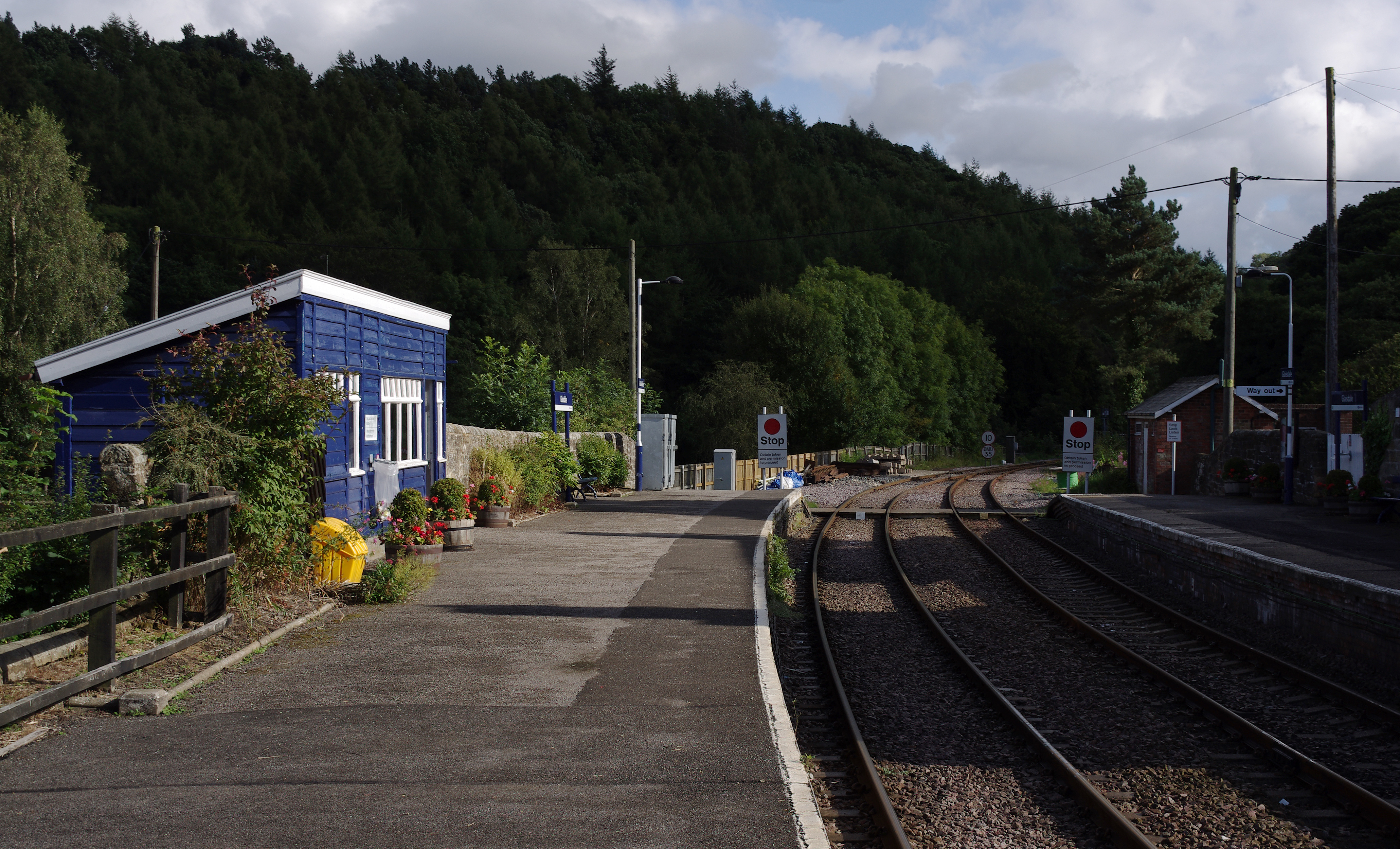
Glaisdale railway station

Glaisdale is a railway station on the Esk Valley Line, which runs between Middlesbrough and Whitby via Nunthorpe. The station, situated 9 miles 33 chains...
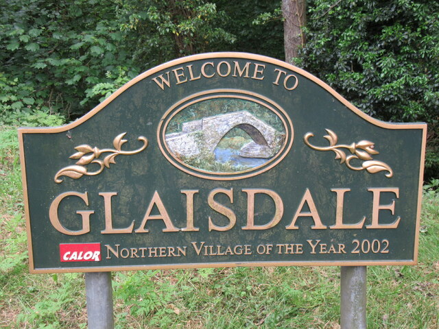
Glaisdale

Glaisdale is a village and civil parish in the Scarborough district of North Yorkshire, England, within the North York Moors National Park. It lies at...
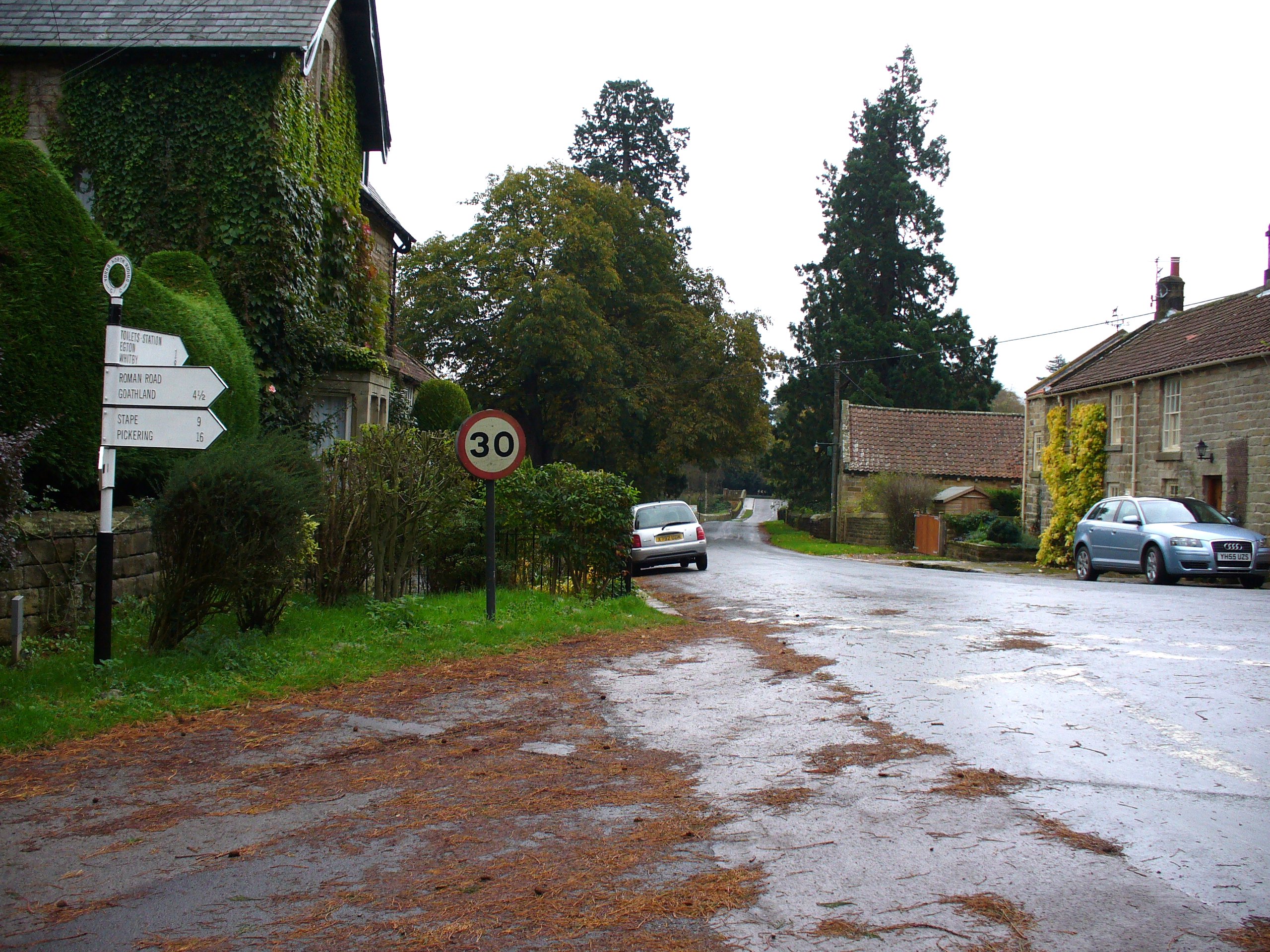
Egton Bridge

Egton Bridge is a village in the Scarborough district of North Yorkshire, England. It lies within the North York Moors National Park, on the River Esk...

Egton railway station

Egton is a railway station on the Esk Valley Line, which runs between Middlesbrough and Whitby via Nunthorpe. The station, situated 7 miles 66 chains...

Nearby Amenities

Located within 500m of 54.433187,-0.78482753
Barrier: stile
Lat/Long: 54.4296274/-0.7803507
Barrier: stile
Lat/Long: 54.4300978/-0.7822756
Man Made: mast
Tower Type: communication
Lat/Long: 54.4373877/-0.7849138
Information: guidepost
Tourism: information
Lat/Long: 54.4310059/-0.7791576
Information: guidepost
Tourism: information
Lat/Long: 54.4301516/-0.7823015
Barrier: stile
Lat/Long: 54.4298268/-0.7815602
Delves Farm
Place: farm
Lat/Long: 54.4301193/-0.7802906
The data included in this document is from www.openstreetmap.org. The data is made available under ODbL.

Have you been to East Arnecliff Wood?

Leave your review of East Arnecliff Wood below (or comments, questions and feedback).