Patrick's Copse

Wood, Forest in Hampshire East Hampshire

England

Patrick's Copse

Langley Farm Road, near Liss Langley Farm Road passing a farm building in the South Downs National Park.  Brewells Lane, named on the sign, is another road which crosses the lane here.

Langley Farm Road is on route 22 of the National Cycle Network and is also on the route of the Sussex Border Path.
Langley Farm Road, near Liss Credit: Malc McDonald

Patrick's Copse is a small woodland area located in Hampshire, England. Nestled within the picturesque countryside, this copse is a popular destination for nature enthusiasts and those seeking tranquility amidst the hustle and bustle of everyday life.

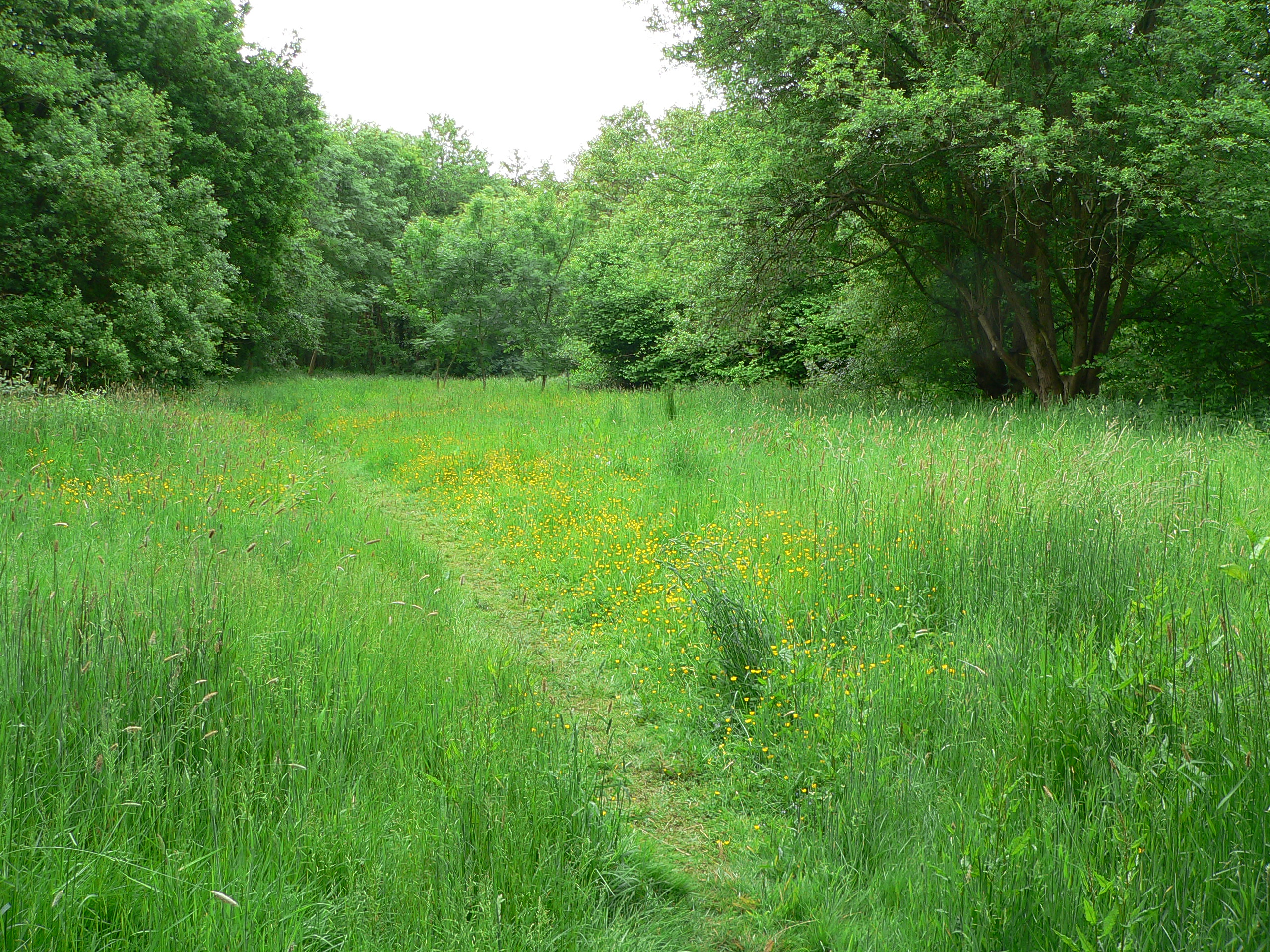
Covering an area of approximately 10 acres, Patrick's Copse is characterized by its diverse range of tree species. Visitors can expect to find a mixture of native British trees such as oak, beech, and ash, as well as a variety of shrubs and undergrowth. The copse's dense vegetation provides a habitat for a wide array of wildlife, including birds, insects, and small mammals.

Walking through Patrick's Copse, visitors will be greeted by a peaceful and serene atmosphere. The rustling of leaves and the chirping of birds create a soothing symphony that transports individuals to a world far removed from the stresses of daily life. Tranquil pathways wind through the copse, inviting visitors to explore its hidden corners and discover its natural beauty.

The copse is also home to a number of well-maintained picnic areas, making it an ideal spot for families and friends to gather and enjoy a leisurely outdoor meal. Additionally, there are several benches strategically placed throughout the copse, providing the perfect opportunity for visitors to sit and soak in the tranquility of their surroundings.

Patrick's Copse is open to the public year-round and is free to enter. Its accessibility and natural beauty make it a cherished destination for both locals and tourists alike, offering a peaceful retreat for those seeking solace in nature.

If you have any feedback on the listing, please let us know in the comments section below.

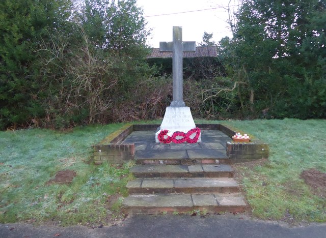
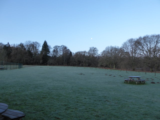
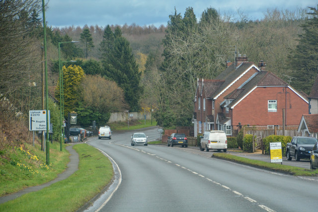
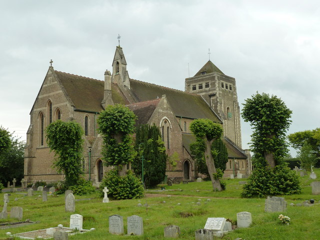
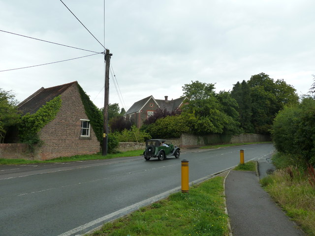
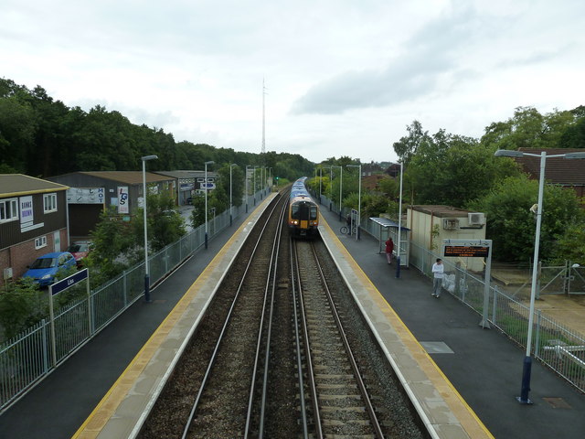
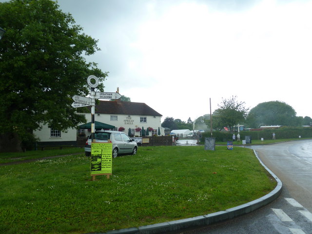
Patrick's Copse Images

Images are sourced within 2km of 51.046095/-0.88143736 or Grid Reference SU7828. Thanks to Geograph Open Source API. All images are credited.

Langley Farm Road, near Liss Langley Farm Road passing a farm building in the South Downs National Park.  Brewells Lane, named on the sign, is another road which crosses the lane here.

Langley Farm Road is on route 22 of the National Cycle Network and is also on the route of the Sussex Border Path.
Langley Farm Road, near Liss
Langley Farm Road passing a farm building in the South Downs National Park. Brewells Lane, named on the sign, is another road which crosses the lane here. Langley Farm Road is on route 22 of the National Cycle Network and is also on the route of the Sussex Border Path.
Brewells Lane, near Liss Brewells Lane is a minor lane through countryside in the South Downs National Park.  It is on the route of the Sussex Border Path.  Here it passes Brewells Farm.
Brewells Lane, near Liss
Brewells Lane is a minor lane through countryside in the South Downs National Park. It is on the route of the Sussex Border Path. Here it passes Brewells Farm.
2016: a year on Geograph (Day 28) Rake Community Orchard
2016: a year on Geograph (Day 28)
Rake Community Orchard
Rake War Memorial: late January 2016
The Flying Bull seen from Rake Village Hall
Rake Village Hall: late January 2016 A village hall is usually a building within a village which contains at least one large room, usually owned by and run for the benefit of the local community. Such a hall is typically used for a variety of public and private events, such as parish council meetings, sports club functions, local drama productions, dances, jumble sales and private parties. Village halls sometimes have charitable status. They are occasionally called the village institute rather than village hall or community centres.
Rake Village Hall: late January 2016
A village hall is usually a building within a village which contains at least one large room, usually owned by and run for the benefit of the local community. Such a hall is typically used for a variety of public and private events, such as parish council meetings, sports club functions, local drama productions, dances, jumble sales and private parties. Village halls sometimes have charitable status. They are occasionally called the village institute rather than village hall or community centres.
No takers for the seats at Rake Playing Fields
Shipwrights' Way 95 The walk continues ahead to the left of the barn. This is in Hampshire.
Shipwrights' Way 95
The walk continues ahead to the left of the barn. This is in Hampshire.
Rake : London Road B2070 Looking along a road which heads through Rake.
Rake : London Road B2070
Looking along a road which heads through Rake.
London Road, Rake
London Road, Rake
Bungalow on London Road, Rake
2020 vision: Day 76 Early morning at the junction of Brewells Lane and the B2070
Temperature 2C
BBC News Radio 4 'PM' 17:14- Boris Johnson has said "To fight coronavirus, everyone in the UK should now avoid non-essential travel and contact. People should work from home and avoid pubs, club, and theatres where possible. Furthermore, anyone in the same house as someone who has a cough or fever should isolate completely for 14 days."
2020 vision: Day 76
Early morning at the junction of Brewells Lane and the B2070 Temperature 2C BBC News Radio 4 'PM' 17:14- Boris Johnson has said "To fight coronavirus, everyone in the UK should now avoid non-essential travel and contact. People should work from home and avoid pubs, club, and theatres where possible. Furthermore, anyone in the same house as someone who has a cough or fever should isolate completely for 14 days."
The Crossing Gates undergoes a makeover
St Mary's in July 2011
Vintage car just past the Blue Bell at Liss
Solicitors in Station Road As set out in a 1974 Act of Parliament a solicitor in England and Wales is a legal practitioner who initially deals with nearly all legal matters. They must pay an annual fee to practice. There is a split between solicitors and barristers, who act as advocates in the higher courts. Solicitors, however, can build a practice in a certain area, for example probate or property, matrimonial or commercial, and pace their work in a way barristers would find more difficult.
Solicitors in Station Road
As set out in a 1974 Act of Parliament a solicitor in England and Wales is a legal practitioner who initially deals with nearly all legal matters. They must pay an annual fee to practice. There is a split between solicitors and barristers, who act as advocates in the higher courts. Solicitors, however, can build a practice in a certain area, for example probate or property, matrimonial or commercial, and pace their work in a way barristers would find more difficult.
13:06 from Liphook arriving at Liss railway station
Looking towards The Spread Eagle on Steam Rally Saturday
Show me another place!

Patrick's Copse is located at Grid Ref: SU7828 (Lat: 51.046095, Lng: -0.88143736)

Administrative County: Hampshire

District: East Hampshire

Police Authority: Hampshire

What 3 Words

///alarmed.myself.verifying. Near Liss, Hampshire

Related Wikis

Liss, Hampshire

Liss (previously spelt Lys or Lyss) is a village and civil parish in the East Hampshire district of Hampshire, 3.3 miles (5.3 km) north-east of Petersfield...

Liss Riverside Railway Walk North

Liss Riverside Railway Walk North is a 6.9-hectare (17-acre) Local Nature Reserve which runs north from Liss in Hampshire. It is owned and managed by...

Liss Athletic F.C.

Liss Athletic F.C. is an amateur football club based in Liss, near Petersfield, in England. The club is affiliated to the Hampshire Football Association...

Liss Riverside Railway Walk South

Liss Riverside Railway Walk South is a 1.6-hectare (4.0-acre) Local Nature Reserve in Liss in Hampshire. It is owned and managed by Liss Parish Council...

Nearby Amenities

Located within 500m of 51.046095,-0.88143736
Source: Landsat photo
Lat/Long: 51.0467378/-0.888411
Source: Landsat photo
Lat/Long: 51.0482576/-0.8853117
Source: Landsat photo
Lat/Long: 51.049213/-0.8829087
Designation: Liss Forrest Level Crossing
Railway: level_crossing
Lat/Long: 51.0488704/-0.8838257
Bus Stop
Mint Road
Bus: yes
Naptan AtcoCode: 1900HA020586
Naptan Bearing: N
Naptan BusStopType: CUS
Naptan CommonName: Mint Road
Naptan Crossing: Mint Road
Naptan NaptanCode: hamgtdwa
Naptan Street: Forest Road
Naptan Verified: no
Public Transport: platform
Source: naptan_import
Lat/Long: 51.0495252/-0.884256
Bus Stop
Mint Road
Bus: yes
Naptan AtcoCode: 1900HA020587
Naptan Bearing: S
Naptan CommonName: Mint Road
Naptan Crossing: Mint Road
Naptan NaptanCode: hamgtdwd
Naptan Street: Forest Road
Naptan Verified: no
Public Transport: platform
Source: naptan_import
Lat/Long: 51.0495337/-0.8841987
Bus Stop
Mill Road Surgery
Bus: yes
Naptan AtcoCode: 1900HAA13681
Naptan Bearing: NE
Naptan CommonName: Mill Road Surgery
Naptan Crossing: Woodbourne Close
Naptan NaptanCode: hamgtdpt
Naptan Street: Mill Road
Naptan Verified: no
Public Transport: platform
Source: naptan_import
Lat/Long: 51.0451884/-0.8877839
Bus Stop
Mill Road Surgery
Bus: yes
Naptan AtcoCode: 1900HAA13682
Naptan Bearing: SW
Naptan CommonName: Mill Road Surgery
Naptan Crossing: Woodbourne Close
Naptan NaptanCode: hamgtdpw
Naptan Street: Mill Road
Naptan Verified: no
Public Transport: platform
Source: naptan_import
Lat/Long: 51.045275/-0.8874395
Post Box
Collection Plate: CP7
Collection Times: Mo-Fr 16:45; Sa 09:15
Operator: Royal Mail
Post Box Type: wall
Ref: GU33 82
Royal Cypher: EIIR
Royal Cypher Wikidata: Q33102113
Lat/Long: 51.0438701/-0.8796056
Post Box
Collection Plate: CP7D
Collection Times: Mo-Fr 09:00; Sa 07:00
Note: This postbox is a bit set back from the line of the road.
Operator: Royal Mail
Post Box Type: lamp
Ref: GU33 9D
Royal Cypher: EIIR
Royal Cypher Wikidata: Q33102113
Lat/Long: 51.0449094/-0.8847573
Grit Bin
Lat/Long: 51.0490833/-0.8836503
Post Box
Collection Plate: CP5D
Collection Times: Mo-Fr 09:00; Sa 07:00
Operator: Royal Mail
Post Box Type: wall
Ref: GU33 30D
Royal Cypher: GR
Royal Cypher Wikidata: Q33102273
Lat/Long: 51.0484703/-0.8839041
Barrier: kissing_gate
Lat/Long: 51.0489149/-0.8840023
Post Box
Collection Plate: CP7D
Collection Times: Mo-Fr 09:00; Sa 07:00
Operator: Royal Mail
Post Box Type: lamp
Ref: GU33 156D
Royal Cypher: EIIR
Royal Cypher Wikidata: Q33102113
Lat/Long: 51.0419171/-0.8838453
Hope Church Office
Addr City: Liss
Addr Housename: Central Hall
Addr Housenumber: 12
Addr Postcode: GU33 7BH
Addr Street: Forest Road
Office: religion
Religion: christian
Website: https://hopechurch.life/
Lat/Long: 51.0498018/-0.8837387
Railway: level_crossing
Lat/Long: 51.0488452/-0.8838224
The data included in this document is from www.openstreetmap.org. The data is made available under ODbL.

Have you been to Patrick's Copse?

Leave your review of Patrick's Copse below (or comments, questions and feedback).