Bear Copse
Wood, Forest in Berkshire
England
Bear Copse

Bear Copse is a picturesque woodland located in Berkshire, England. Situated near the town of Newbury, it spans an area of approximately 50 acres. The copse is known for its diverse range of flora and fauna, making it a popular destination for nature enthusiasts and hikers alike.
The woodland is predominantly made up of deciduous trees, including oak, beech, and ash, which create a beautiful canopy during the summer months. This dense vegetation provides a habitat for a variety of wildlife, such as foxes, badgers, and numerous bird species, making it an ideal spot for birdwatchers.
A network of well-maintained trails weaves through the copse, allowing visitors to explore its natural beauty. These paths are suitable for both leisurely strolls and more challenging hikes. Along the way, visitors can enjoy the tranquil atmosphere and discover hidden clearings, where they may encounter wildflowers and other small plants.
Bear Copse also has a rich history. It is believed to have derived its name from the presence of bears in the area during medieval times. The woodland was once a hunting ground for nobility, and traces of this past can still be seen today, with remnants of ancient hunting lodges scattered throughout.
Access to Bear Copse is free, and there is ample parking available nearby. The copse is open to the public throughout the year, offering an escape from the hustle and bustle of everyday life. Whether one is seeking a peaceful walk, a chance to observe wildlife, or simply a place to reconnect with nature, Bear Copse is a hidden gem in the heart of Berkshire.
If you have any feedback on the listing, please let us know in the comments section below.
Bear Copse Images
Images are sourced within 2km of 51.401283/-0.87789954 or Grid Reference SU7867. Thanks to Geograph Open Source API. All images are credited.


Bear Copse is located at Grid Ref: SU7867 (Lat: 51.401283, Lng: -0.87789954)
Unitary Authority: Wokingham
Police Authority: Thames Valley
What 3 Words
///streaks.manifests.deliver. Near Barkham, Berkshire
Nearby Locations
Related Wikis
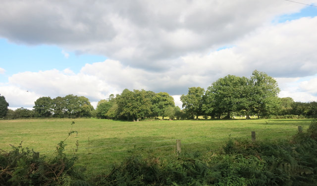
Barkham
Barkham is a village and civil parish in the borough of Wokingham in Berkshire, England, located around 2 miles (3.2 km) southwest of the town of Wokingham...

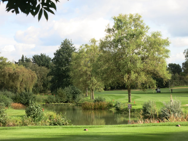
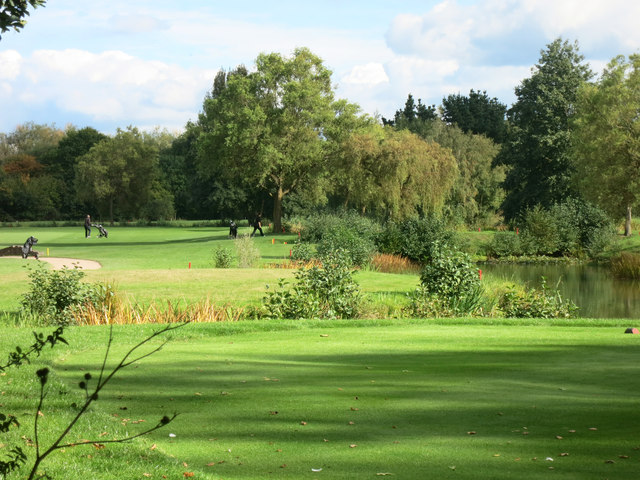
Bearwood Lakes Golf Club
Bearwood Lakes Golf Club is a golf club, located in Sindlesham, Berkshire, England. It was established in 1996. In 2019, a new purpose-built all-weather...

Bearwood House
Bearwood or Bear Wood, Sindlesham, Berkshire, England is a Victorian country house built for John Walter, the owner of The Times. The architect was Robert...
Reddam House, Berkshire
Reddam House Berkshire is a co-educational, independent school in Wokingham, in the English county of Berkshire. Reddam House provides education for boys...

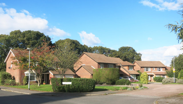
Woosehill
Woosehill is a suburb of Wokingham in the English county of Berkshire.Woosehill – spelled incorrectly as Woose Hill on Ordnance Survey maps – is the north...
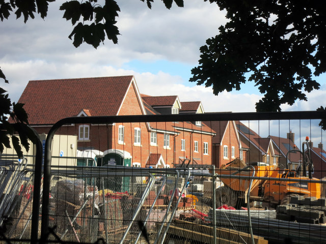
Arborfield Cross
Arborfield Cross is a village in the civil parish of Arborfield and Newland in the Borough of Wokingham in the English county of Berkshire. == Location... ==
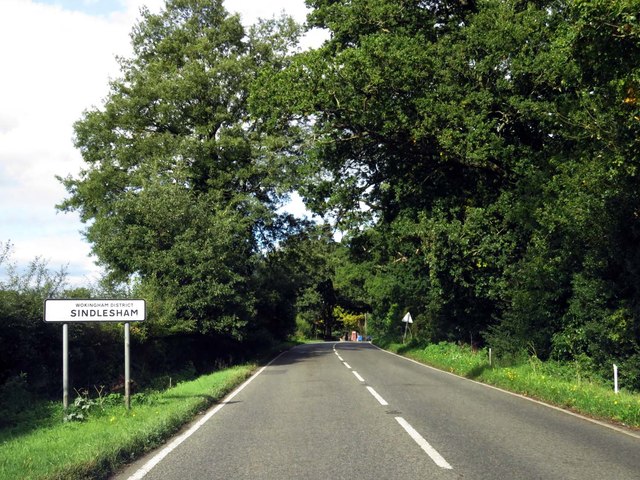
Sindlesham
Sindlesham is an estate village in the borough of Wokingham in Berkshire, England. It is located around 4 miles (6.4 km) southeast of Reading and around...

Arborfield Green
Arborfield Green is a new village approximately 1 mile (1.6 km) south east of the village of Arborfield Cross in the English county of Berkshire, previously...
Nearby Amenities
Located within 500m of 51.401283,-0.87789954Have you been to Bear Copse?
Leave your review of Bear Copse below (or comments, questions and feedback).