Cawthorn Moor
Wood, Forest in Yorkshire Ryedale
England
Cawthorn Moor
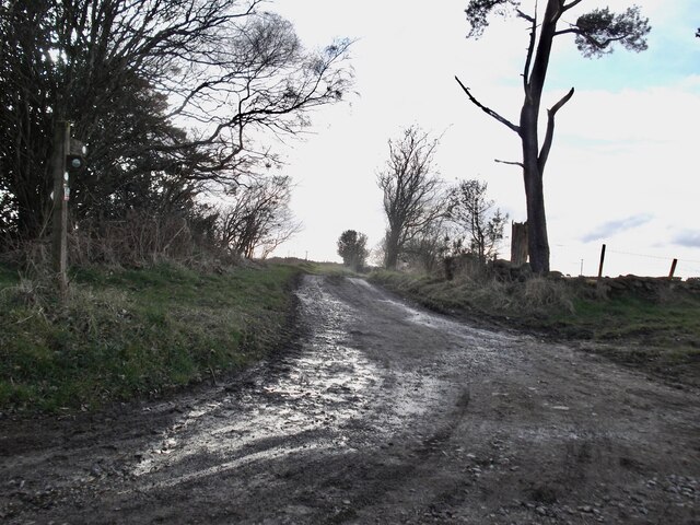
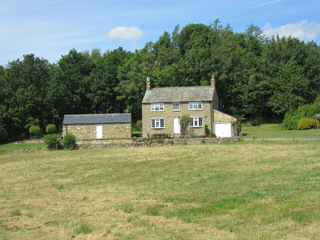
Cawthorn Moor, located in Yorkshire, England, is a picturesque wood and forest area known for its natural beauty and rich history. Spanning over 1,800 acres, this moorland is nestled within the North York Moors National Park, making it a popular destination for nature enthusiasts and outdoor adventurers.
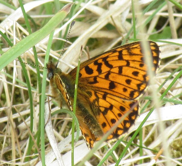
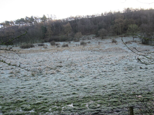
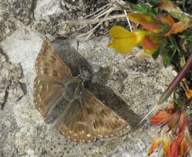
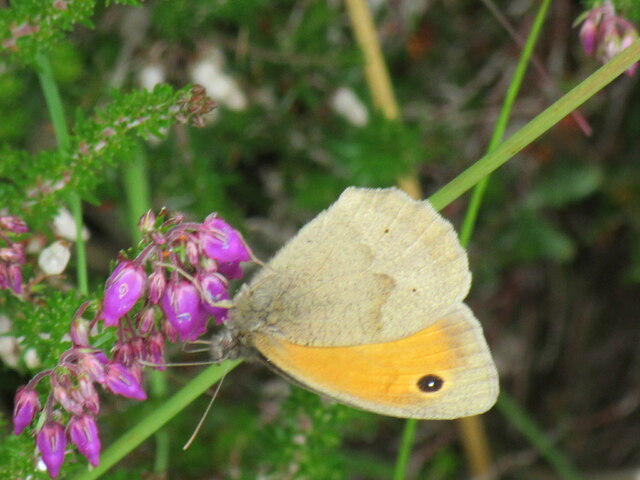
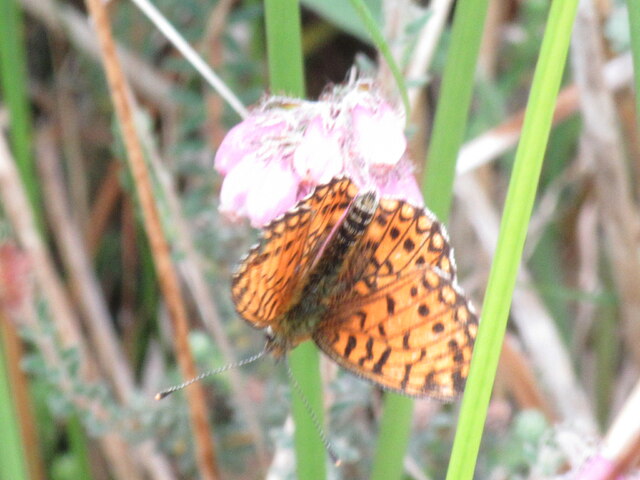
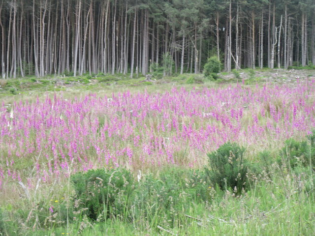
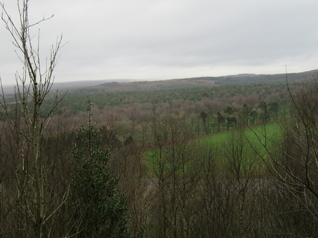
The moor is characterized by its diverse landscape, featuring rolling hills, ancient woodlands, and heather-covered expanses. It is home to a variety of wildlife, including deer, birds of prey, and rare plant species, making it an ideal spot for nature lovers and photographers.
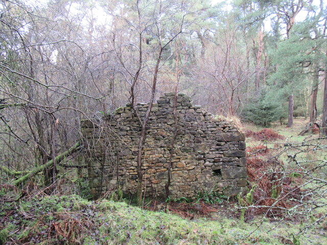
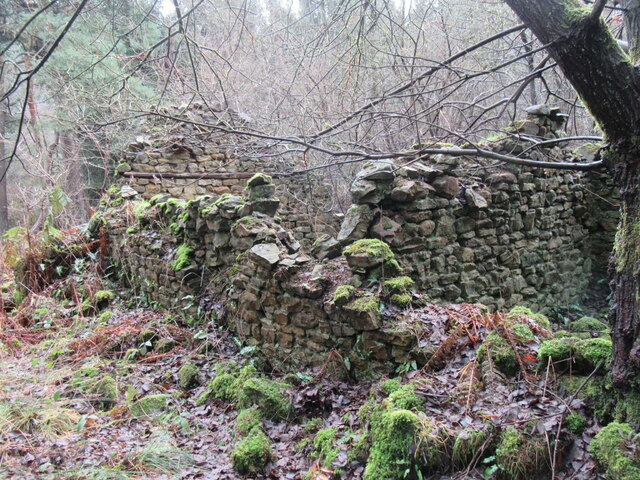
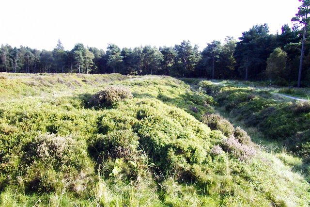
One of the main attractions of Cawthorn Moor is the Cawthorn Roman Camps, which dates back to the 1st century AD. These well-preserved Roman earthworks offer a glimpse into the area's historical significance. Visitors can explore the remains of the Roman fort and defensive ditches, imagining the lives of soldiers who once occupied the site.
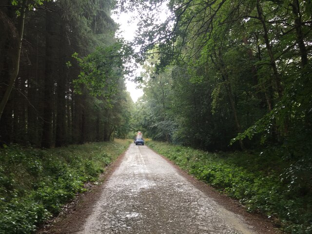
Additionally, the moor is crisscrossed by a network of walking trails, allowing visitors to immerse themselves in the tranquility of the surroundings. The Cleveland Way, a long-distance footpath, also passes through the moor, providing an opportunity for hikers to embark on a scenic journey.
Cawthorn Moor is a place of natural beauty, historical significance, and outdoor exploration. With its stunning landscapes, abundant wildlife, and ancient Roman remains, it offers a captivating experience for all who venture into its enchanting realm.
If you have any feedback on the listing, please let us know in the comments section below.
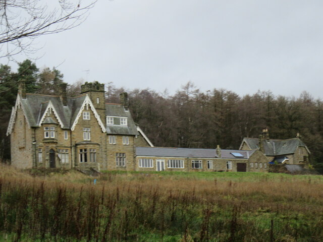
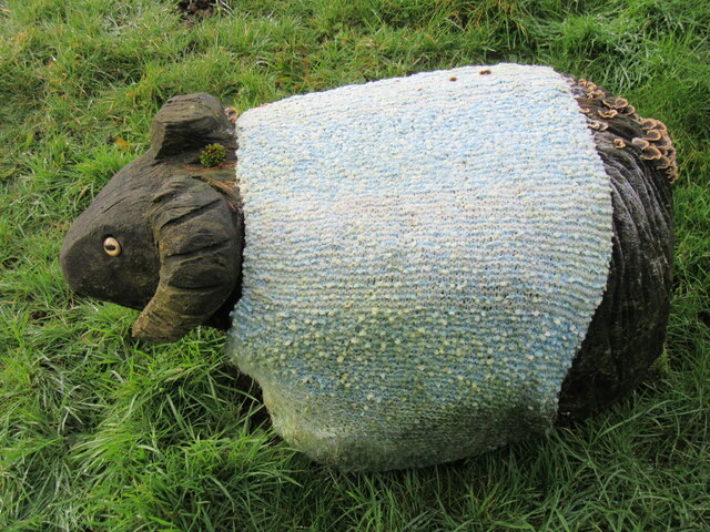
Cawthorn Moor Images
Images are sourced within 2km of 54.312939/-0.80180763 or Grid Reference SE7891. Thanks to Geograph Open Source API. All images are credited.


Cawthorn Moor is located at Grid Ref: SE7891 (Lat: 54.312939, Lng: -0.80180763)
Division: North Riding
Administrative County: North Yorkshire
District: Ryedale
Police Authority: North Yorkshire
What 3 Words
///horses.duplicity.beamed. Near Pickering, North Yorkshire
Nearby Locations
Related Wikis
Cawthorne Camp
Cawthorne Camp (sometimes spelled "Cawthorn") is a Roman site in north-east England, about 4 miles (6 km) north of Pickering, North Yorkshire. The well...

Tabular Hills
The Tabular Hills form an east–west line along the southern bounds of the North York Moors, between Scarborough in the east and Black Hambleton in the...

Stape
Stape is a hamlet and civil parish in the Ryedale district of North Yorkshire, England. At the 2011 Census the population was less than 100; details are...

Newton-on-Rawcliffe
Newton-on-Rawcliffe is a village and civil parish (as Newton) in North Yorkshire, England. It is in the North York Moors National Park, 4 miles (6.4 km...

Cropton
Cropton is a village and civil parish in the Ryedale district of North Yorkshire, England. It is on the border of the North York Moors National Park, 3...
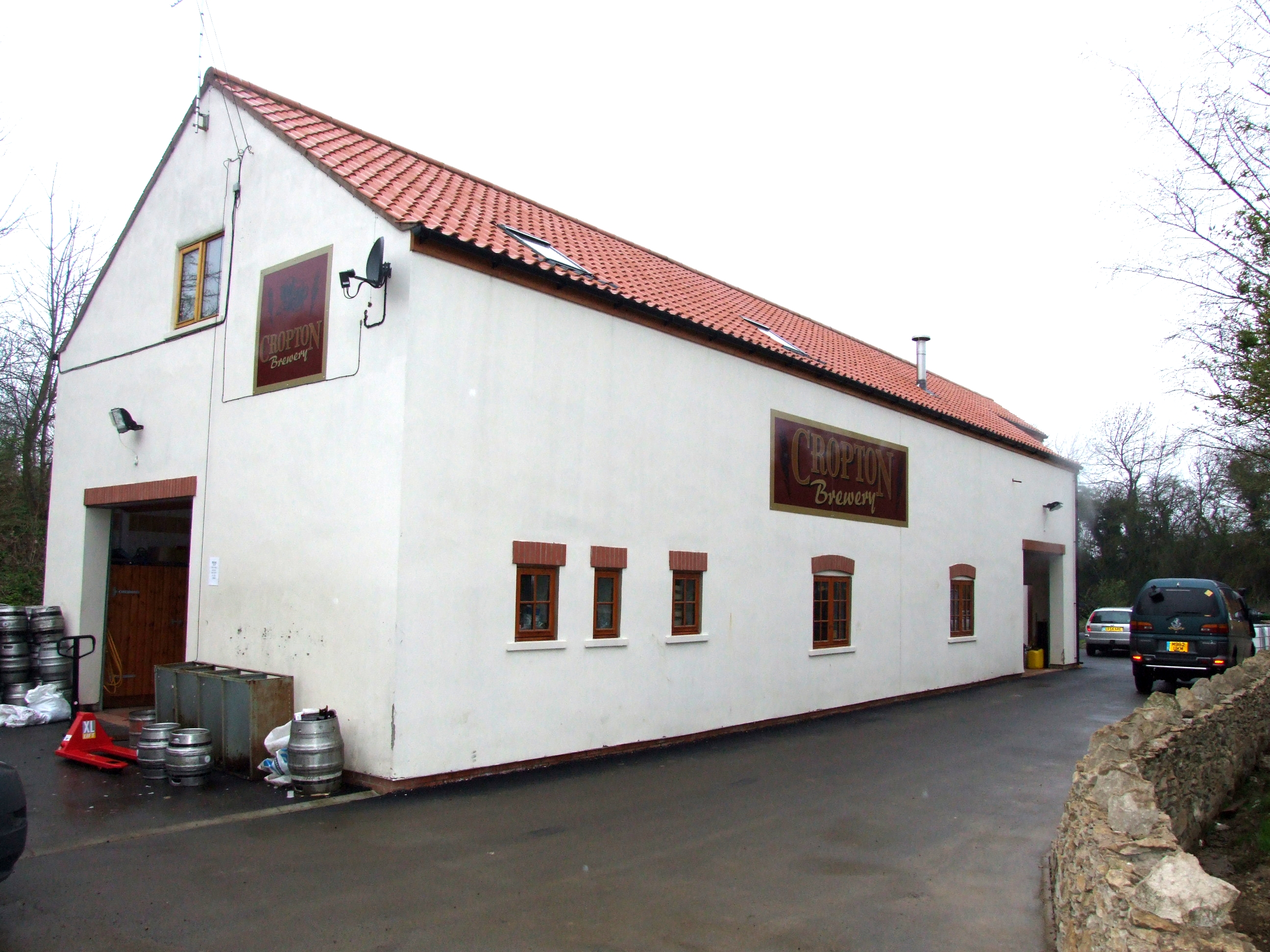
The Great Yorkshire Brewery
The Great Yorkshire Brewery (founded as Cropton Brewery) is situated in the village of Cropton in North Yorkshire, England. Located within the North York...
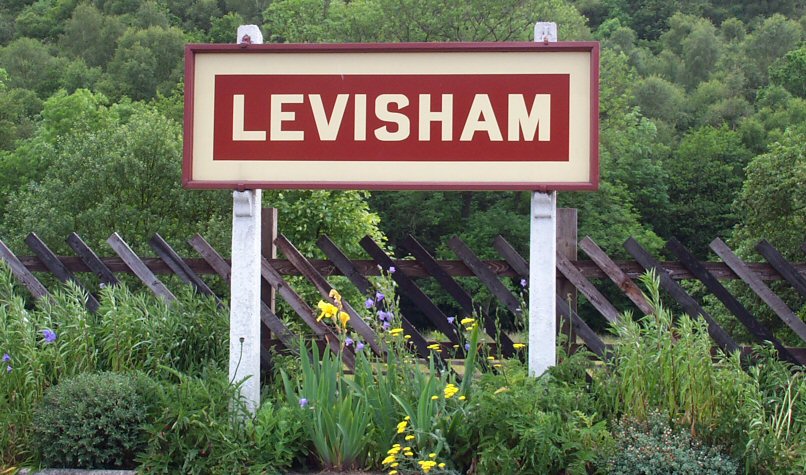
Levisham railway station
Levisham railway station is a station on the North Yorkshire Moors Railway and serves the village of Levisham in the North York Moors National Park, North...
Hartoft
Hartoft is a hamlet in the Ryedale district of North Yorkshire, England. It is situated approximately 7 miles (11 km) north-northwest from Pickering. The...
Nearby Amenities
Located within 500m of 54.312939,-0.80180763Have you been to Cawthorn Moor?
Leave your review of Cawthorn Moor below (or comments, questions and feedback).