Banisters Copse

Wood, Forest in Berkshire

England

Banisters Copse

The Street, Eversley At the end of Warbrook Lane
The Street, Eversley Credit: David Howard

Banisters Copse is a picturesque woodland located in the county of Berkshire, England. Covering an area of approximately 50 acres, this beautiful copse is situated on the outskirts of the village of Aldermaston.

The copse is primarily composed of deciduous trees, including oak, beech, and ash, which create a dense canopy overhead. These trees provide a habitat for a variety of wildlife, such as deer, squirrels, and a wide range of bird species. The forest floor is covered in a thick carpet of moss, ferns, and wildflowers, adding to the enchanting atmosphere of the copse.

Banisters Copse is crisscrossed by a network of well-maintained footpaths, which allow visitors to explore the woodland and enjoy its natural beauty. These paths wind through the trees, occasionally opening up to reveal small clearings or viewpoints overlooking the surrounding countryside.

The copse is a popular destination for nature lovers, walkers, and photographers, who are drawn to its tranquil setting and abundant wildlife. The peacefulness of Banisters Copse also makes it an ideal spot for those seeking solitude or a place for reflection.

Furthermore, the copse is managed by local conservation organizations, ensuring the preservation of its natural habitats and biodiversity. Regular maintenance and tree planting initiatives are carried out to maintain the health and diversity of the woodland.

Overall, Banisters Copse is a hidden gem in Berkshire, offering visitors a chance to immerse themselves in the beauty of nature and experience the tranquility of a truly enchanting woodland.

If you have any feedback on the listing, please let us know in the comments section below.

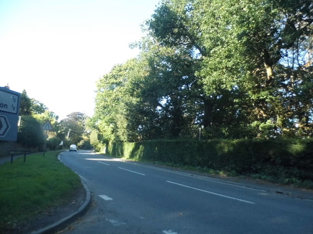
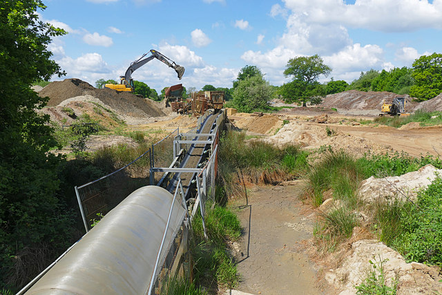
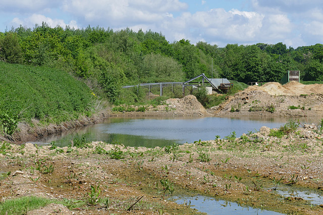
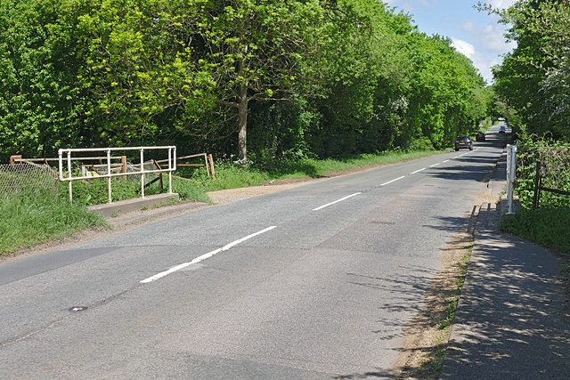
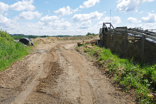
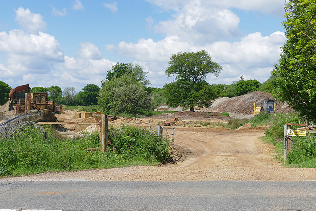
Banisters Copse Images

Images are sourced within 2km of 51.363648/-0.88515383 or Grid Reference SU7763. Thanks to Geograph Open Source API. All images are credited.

The Street, Eversley At the end of Warbrook Lane
The Street, Eversley
At the end of Warbrook Lane
The White Hart, Eversley I have been here before <a title="https://www.geograph.org.uk/photo/4359918" href="https://www.geograph.org.uk/photo/4359918">Link</a>
The White Hart, Eversley
I have been here before Link
Bend on Reading Road, Eversley
Houses on Reading Road, Eversley
Muddy layby on Reading Road, Eversley
The Devil's Highway, Eversley This is all that remains of the original Roman road here that originally crossed the area.
The Devil's Highway, Eversley
This is all that remains of the original Roman road here that originally crossed the area.
Eversley Telephone Exchange (1) Situated off the A327 Reading Road, this TE is of a standard design dating from the late 1960s and has the code THEV. It serves 4,427 residential and 229 non-residential premises in Eversley, plus Eversley Centre, Eversley Cross, Farley Hill, Finchampstead, Lower Common and Nine Mile Ride nearby. Like many other TEs, this TE has a yellow grit salt bin provided for use in wintry weather. The numbering range of this TE is (01189) 73xxxx, the (01189) referring to the Reading group of TEs, and its postcode is RG40 4RA.
Eversley Telephone Exchange (1)
Situated off the A327 Reading Road, this TE is of a standard design dating from the late 1960s and has the code THEV. It serves 4,427 residential and 229 non-residential premises in Eversley, plus Eversley Centre, Eversley Cross, Farley Hill, Finchampstead, Lower Common and Nine Mile Ride nearby. Like many other TEs, this TE has a yellow grit salt bin provided for use in wintry weather. The numbering range of this TE is (01189) 73xxxx, the (01189) referring to the Reading group of TEs, and its postcode is RG40 4RA.
Eversley Telephone Exchange (2) This photo shows one side of this TE with a notice that says: "DO NOT STAND ON OR OBSTRUCT THIS ESCAPE HATCH". A manhole cover can be seen under the notice with one rail at each side.
Eversley Telephone Exchange (2)
This photo shows one side of this TE with a notice that says: "DO NOT STAND ON OR OBSTRUCT THIS ESCAPE HATCH". A manhole cover can be seen under the notice with one rail at each side.
Eversley Telephone Exchange (3) This close-up photo of the front of this TE shows the floodlight which came on whilst I was taking this photo. The notice below it has the following wording in red lettering: 
                                       NOTE
  BEFORE WORKING ON THE ROOF PLEASE NOTE THAT THE FELT COVERING HAS A 15 YEAR GUARANTEE FROM 14TH OCTOBER 2005. GUIDANCE SHOULD BE OBTAINED AS TO WHAT WORK IS PERMITTED UNDER THE TERMS OF THE GUARANTEE AND WHO SHOULD CARRY OUT THE WORK.

 A letterbox can also be seen to the right of the entrance although it probably gets very little post these days apart from electricity bills to cover the cost of running this TE 24/7.
Eversley Telephone Exchange (3)
This close-up photo of the front of this TE shows the floodlight which came on whilst I was taking this photo. The notice below it has the following wording in red lettering: NOTE BEFORE WORKING ON THE ROOF PLEASE NOTE THAT THE FELT COVERING HAS A 15 YEAR GUARANTEE FROM 14TH OCTOBER 2005. GUIDANCE SHOULD BE OBTAINED AS TO WHAT WORK IS PERMITTED UNDER THE TERMS OF THE GUARANTEE AND WHO SHOULD CARRY OUT THE WORK. A letterbox can also be seen to the right of the entrance although it probably gets very little post these days apart from electricity bills to cover the cost of running this TE 24/7.
The entrance to Home Farm on Sheerlands Road
Fleethill Gravel Pit near Yateley The conveyer which runs under the B3016 to the processing plant at Manor Farm, a distance of 1.3Km
Fleethill Gravel Pit near Yateley
The conveyer which runs under the B3016 to the processing plant at Manor Farm, a distance of 1.3Km
Manor Farm gravel pit near Yateley The western end of the pit near the B3016. The pond was once part of a much larger lake which has been infilled. This area is designated to become a nature reserve once operations have ceased, possibly passing to the RSPB.
Manor Farm gravel pit near Yateley
The western end of the pit near the B3016. The pond was once part of a much larger lake which has been infilled. This area is designated to become a nature reserve once operations have ceased, possibly passing to the RSPB.
B3016, Longwater Road The road running from Eversley Cross to Finchampstead. The bridge is an underpass for the mineral conveyor belt from the Fleethill gravel pit on the left to the Manor Farm processing plant south of the River Blackwater.
B3016, Longwater Road
The road running from Eversley Cross to Finchampstead. The bridge is an underpass for the mineral conveyor belt from the Fleethill gravel pit on the left to the Manor Farm processing plant south of the River Blackwater.
Manor Farm gravel pit The entrance to Manor Farm gravel pit off the B3016. The conveyor belt running across the site is on the right.
Manor Farm gravel pit
The entrance to Manor Farm gravel pit off the B3016. The conveyor belt running across the site is on the right.
Fleethill Farm gravel pit entrance The entrance to the Fleethill Farm gravel pit off the B3016 near Finchampstead.
Fleethill Farm gravel pit entrance
The entrance to the Fleethill Farm gravel pit off the B3016 near Finchampstead.
Pylon by Church Road, Farley Hill
Warbrook House Historic (1727) manor house at Eversley.
Warbrook House
Historic (1727) manor house at Eversley.
Eversley Bridge - The Tally Ho Public house beside the Blackwater River.
Eversley Bridge - The Tally Ho
Public house beside the Blackwater River.
Show me another place!

Banisters Copse is located at Grid Ref: SU7763 (Lat: 51.363648, Lng: -0.88515383)

Unitary Authority: Wokingham

Police Authority: Thames Valley

What 3 Words

///calibrate.rescuer.newer. Near Eversley, Hampshire

Related Wikis

Shepperlands Farm

Shepperlands Farm is a 10-hectare (25-acre) nature reserve north-west of Finchampstead in Berkshire. It is managed by the Berkshire, Buckinghamshire and...

Lower Common

Lower Common is a village in the civil parish of Eversley in the district of Hart in Hampshire, England. Its nearest town is Yateley, approximately 3.1...

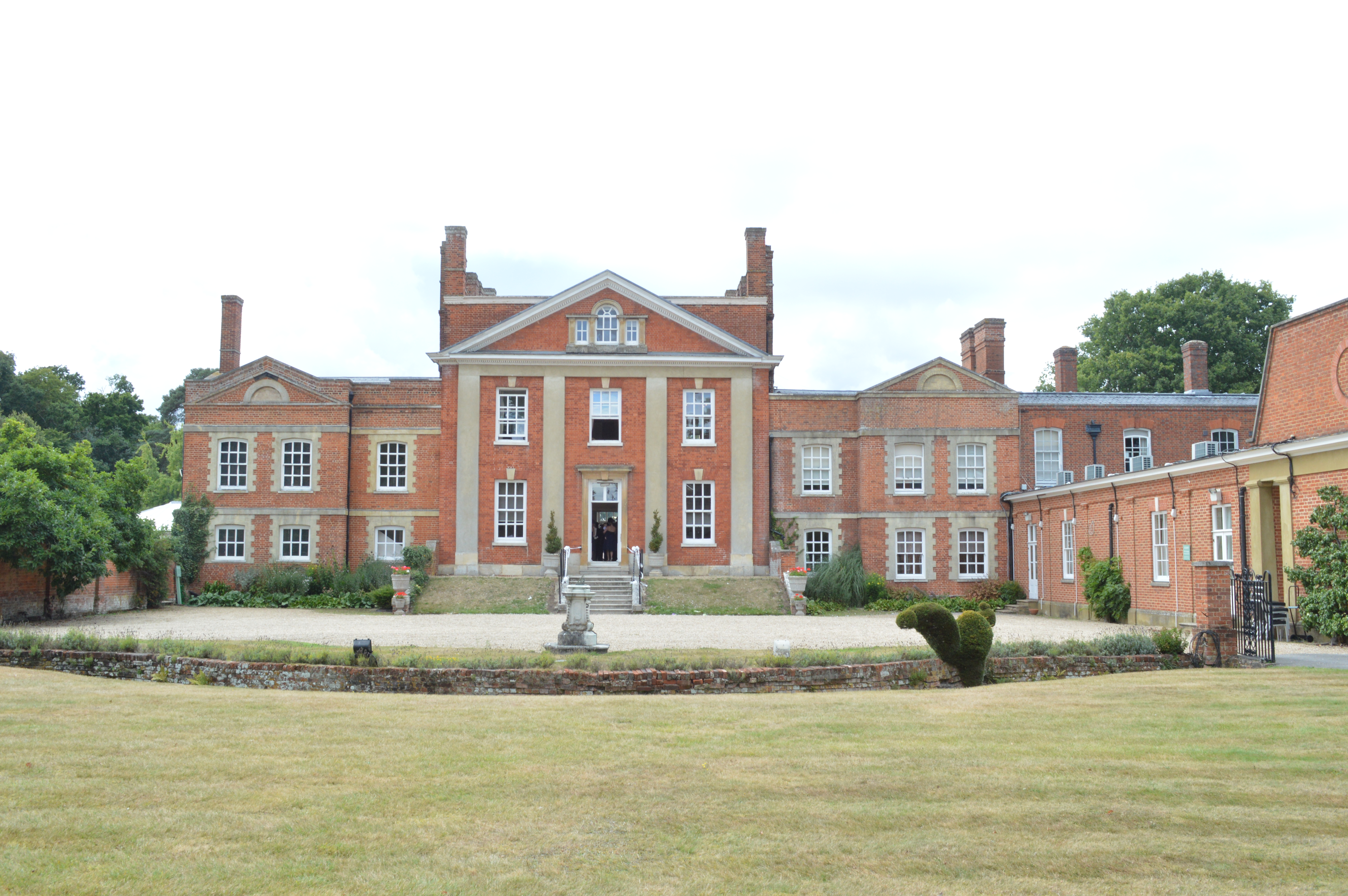
Warbrook House Hotel, Eversley

Warbrook House is a building of historical significance and is listed as Grade I in the English Heritage Register. It was built in 1724 by the architect...

Memorial Ground, Finchampstead

The Memorial Ground (also known as Finchampstead Park) is a cricket ground in Finchampstead, Berkshire, England. The ground is located at the northern...

Nearby Amenities

Located within 500m of 51.363648,-0.88515383
Banisters Farm
Landuse: farm
Note Retag: CS #48756035
Source: OS_OpenData_StreetView
Lat/Long: 51.3627096/-0.8852805
Passing Place
Lat/Long: 51.3648557/-0.8915732
The data included in this document is from www.openstreetmap.org. The data is made available under ODbL.

Have you been to Banisters Copse?

Leave your review of Banisters Copse below (or comments, questions and feedback).