Brickyard Plantation
Wood, Forest in Nottinghamshire Rushcliffe
England
Brickyard Plantation

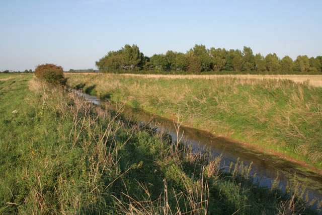
Brickyard Plantation is a picturesque woodland area located in Nottinghamshire, England. Nestled within the heart of the county, this captivating forest is a haven for nature enthusiasts and a popular destination for locals and tourists alike.
Covering an expansive area of woodland, Brickyard Plantation offers a diverse range of flora and fauna. The dense canopy of towering trees provides a habitat for various bird species, including woodpeckers and owls, making it a haven for birdwatchers. The forest floor is adorned with a rich carpet of ferns, mosses, and wildflowers, adding to the enchanting atmosphere of the plantation.
The woodland is crisscrossed by a network of well-maintained trails, allowing visitors to explore its natural beauty on foot or by bicycle. These pathways wind through the forest, leading to hidden clearings and tranquil ponds. Along the way, hikers may stumble upon remnants of the area's industrial past, with remnants of old brick kilns and clay pits scattered among the trees, adding a touch of historical intrigue to the landscape.
Brickyard Plantation also offers recreational facilities, including picnic areas and designated camping spots, allowing visitors to immerse themselves in the beauty of the surroundings and enjoy a peaceful retreat. The plantation is managed by local authorities who ensure the preservation of the woodland's natural integrity while providing a safe and accessible environment for all.
With its captivating beauty, diverse wildlife, and ample recreational opportunities, Brickyard Plantation is a true gem of Nottinghamshire's natural landscape, attracting nature lovers and outdoor enthusiasts from near and far.
If you have any feedback on the listing, please let us know in the comments section below.
Brickyard Plantation Images
Images are sourced within 2km of 52.985045/-0.84607766 or Grid Reference SK7743. Thanks to Geograph Open Source API. All images are credited.


Brickyard Plantation is located at Grid Ref: SK7743 (Lat: 52.985045, Lng: -0.84607766)
Administrative County: Nottinghamshire
District: Rushcliffe
Police Authority: Nottinghamshire
What 3 Words
///whizzing.dome.march. Near Aslockton, Nottinghamshire
Nearby Locations
Related Wikis
Flawborough
Flawborough is a small hamlet and civil parish in the Rushcliffe borough of Nottinghamshire, England. == Geography == The settlement is situated 7 miles...
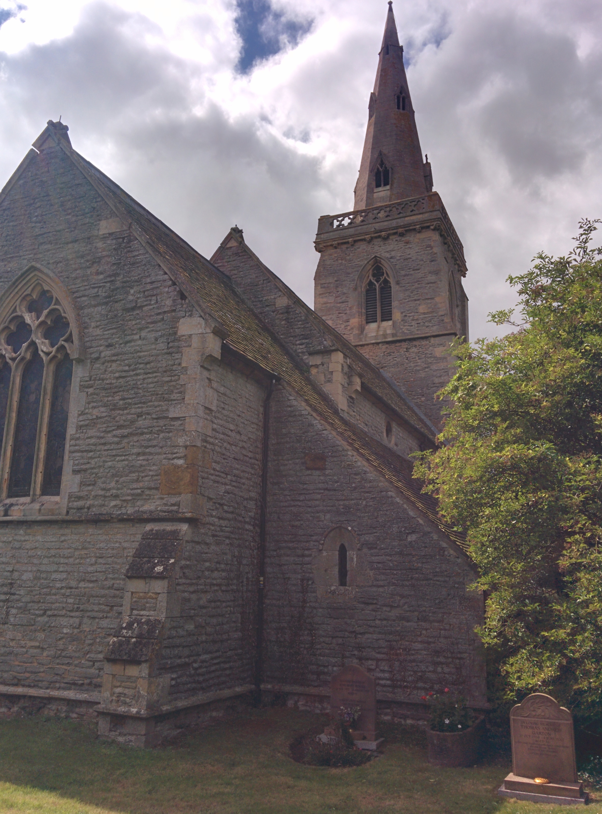
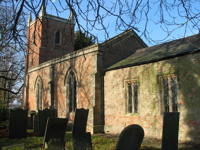
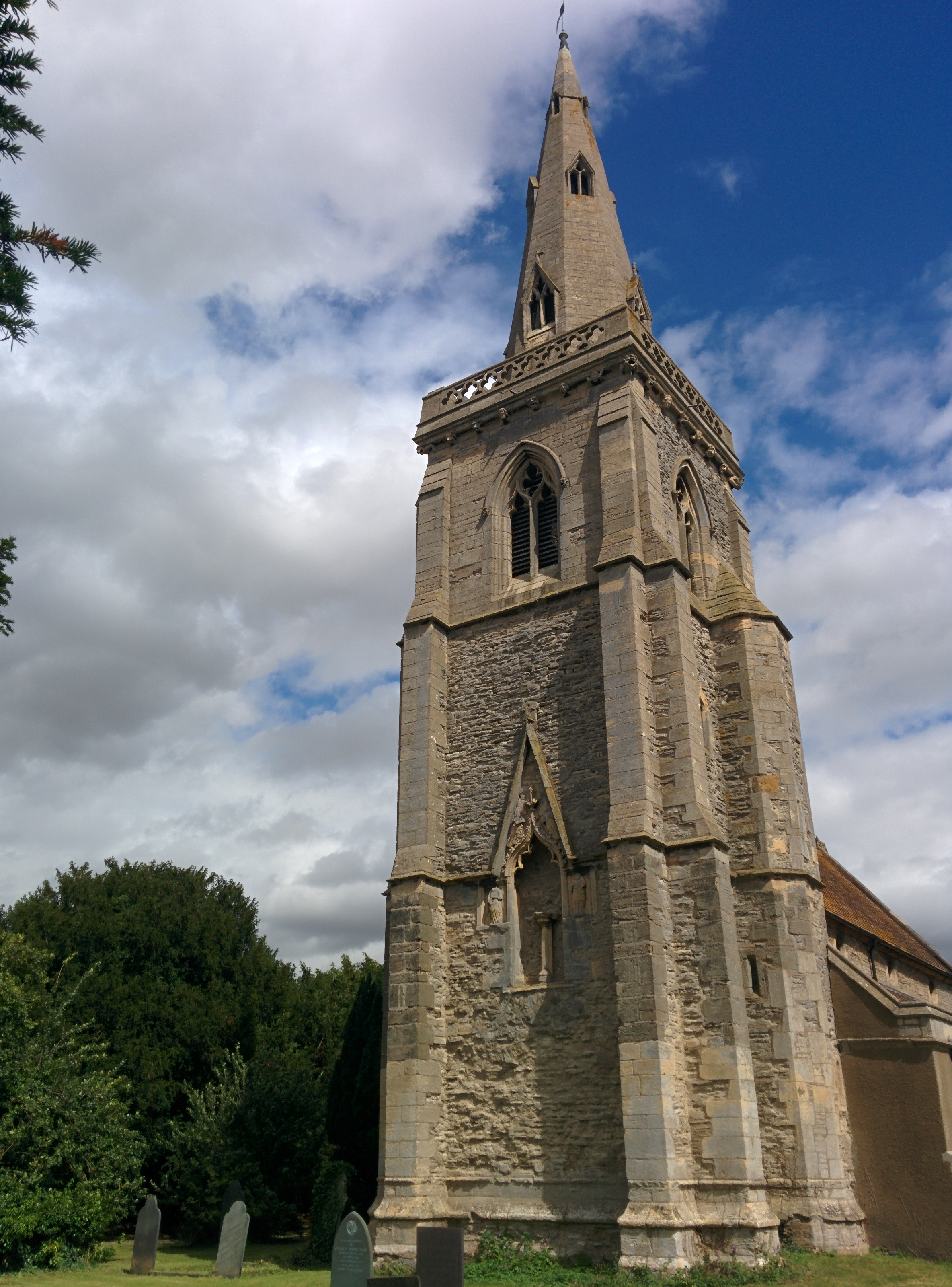
St Helena's Church, Thoroton
St Helena's Church, Thoroton is the Church of England parish church of Thoroton, Nottinghamshire, England. The building is Grade I listed by the Department...

Shelton, Nottinghamshire
Shelton is an English village and civil parish in the Rushcliffe borough of Nottinghamshire. According to the 2001 census, Shelton had a population of...
Thoroton
Thoroton is a small English parish in the borough of Rushcliffe, Nottinghamshire, with a population of 112. The village has conservation area status. Its...
Nearby Amenities
Located within 500m of 52.985045,-0.84607766Have you been to Brickyard Plantation?
Leave your review of Brickyard Plantation below (or comments, questions and feedback).