Ash Pole Spinney

Wood, Forest in Northamptonshire

England

Ash Pole Spinney

Under the A5 An underside view of the viaduct which carries the A5 over the Great Ouse and its floodplain; the road is here bypassing Stony Stratford.
Under the A5 Credit: A J Paxton

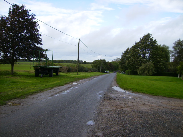
Ash Pole Spinney is a small woodland area located in Northamptonshire, England. Covering an approximate area of 10 acres, it is situated near the village of Ashpole, hence its name. The spinney is primarily composed of ash trees, which dominate the landscape and provide a dense canopy that offers shelter and shade to various flora and fauna.

The woodland is classified as a semi-natural ancient woodland, meaning that it has existed for several centuries and has developed naturally over time. The age of the trees within the spinney varies, with some being several hundred years old. This contributes to its rich biodiversity and ecological value.

Ash Pole Spinney boasts a diverse range of plant species, including bluebells, primroses, and wild garlic, which create a vibrant carpet of colors during spring. The woodland also supports a variety of wildlife, including birds, small mammals, and insects. Common bird species found in the spinney include woodpeckers, thrushes, and various tit species.

The spinney provides an ideal environment for nature enthusiasts and walkers, offering peaceful and scenic trails for exploration. The area is managed by local authorities to ensure the preservation of its natural beauty and ecological balance. Visitors are encouraged to respect the woodland's delicate ecosystem by following designated paths and refraining from littering or damaging the flora and fauna.

In conclusion, Ash Pole Spinney is a charming woodland area in Northamptonshire, renowned for its ancient ash trees, diverse plant life, and wildlife. It offers a serene escape for individuals seeking solace in nature and serves as a vital habitat for numerous species.

If you have any feedback on the listing, please let us know in the comments section below.

Ash Pole Spinney Images

Images are sourced within 2km of 52.074006/-0.87005906 or Grid Reference SP7742. Thanks to Geograph Open Source API. All images are credited.

Under the A5 An underside view of the viaduct which carries the A5 over the Great Ouse and its floodplain; the road is here bypassing Stony Stratford.
Under the A5
An underside view of the viaduct which carries the A5 over the Great Ouse and its floodplain; the road is here bypassing Stony Stratford.
River Great Ouse at Old Stratford The river here forms the county boundary between Buckinghamshire/Milton Keynes and Northamptonshire. This photo is taken from under a willow on the Milton Keynes bank looking towards new housing on the outskirts of Old Stratford, Northamptonshire.
River Great Ouse at Old Stratford
The river here forms the county boundary between Buckinghamshire/Milton Keynes and Northamptonshire. This photo is taken from under a willow on the Milton Keynes bank looking towards new housing on the outskirts of Old Stratford, Northamptonshire.
Contains Asbestos A boarded-up and dangerous property near the northern end of Stony Stratford High Street has been decorated by Gorilla Girl.
Contains Asbestos
A boarded-up and dangerous property near the northern end of Stony Stratford High Street has been decorated by Gorilla Girl.
Gorilla Girl & Fanboy, Stony Stratford High Street Gorilla Girl decorated the boards on a derelict, asbestos-ridden property; see here <a href="https://www.geograph.org.uk/photo/7005517">SP7840 : Contains Asbestos</a>. Fanboy added his/her/their contribution. Was it appreciated or unwanted?
Gorilla Girl & Fanboy, Stony Stratford High Street
Gorilla Girl decorated the boards on a derelict, asbestos-ridden property; see here SP7840 : Contains Asbestos. Fanboy added his/her/their contribution. Was it appreciated or unwanted?
Northampton Road, Furtho
Northampton Road near Cosgrove
High Street in Stony Stratford
Cosgrove Lock and Buckingham Arm Junction The Buckingham Arm was built in two separate phases: a broad canal to Old Stratford, which opened in 1800 and a narrow canal onwards to Buckingham, which opened in 1801. 

It was disused from 1932, and was dammed at the first bridge in 1944 to reduce leakage from the Grand Union, but was not finally abandoned until 1964. The remains were severed by the construction of new roads in the 1970s and again in the late 1980s. 

The section through Old Stratford and Deanshanger was sold off in the 1990s, and the route was lost to housing development. 

The Buckingham Canal Society was formed in 1992, and is actively pursuing a restoration programme.
Cosgrove Lock and Buckingham Arm Junction
The Buckingham Arm was built in two separate phases: a broad canal to Old Stratford, which opened in 1800 and a narrow canal onwards to Buckingham, which opened in 1801. It was disused from 1932, and was dammed at the first bridge in 1944 to reduce leakage from the Grand Union, but was not finally abandoned until 1964. The remains were severed by the construction of new roads in the 1970s and again in the late 1980s. The section through Old Stratford and Deanshanger was sold off in the 1990s, and the route was lost to housing development. The Buckingham Canal Society was formed in 1992, and is actively pursuing a restoration programme.
Solomon's Bridge The splendid Gothic decorated Solomon's Bridge (no 65) is unique on the canal network. Nowhere else is this gothic style used. It was probably built this way in 1800 to appease a local landlord, but the exact circumstances are lost in the mists of time.
Solomon's Bridge
The splendid Gothic decorated Solomon's Bridge (no 65) is unique on the canal network. Nowhere else is this gothic style used. It was probably built this way in 1800 to appease a local landlord, but the exact circumstances are lost in the mists of time.
The Navigation Inn, Cosgrove
London Road bridge over the Great Ouse
The Old Stratford Cut A long disused branch of the Grand Union Canal. 
This sluice gear may be original, but it looks surprisingly well preserved. There is some restoration work going on a bit further along and I'm guessing this has been put here fairly recently to control any surplus water that gets into the dry section.
The Old Stratford Cut
A long disused branch of the Grand Union Canal. This sluice gear may be original, but it looks surprisingly well preserved. There is some restoration work going on a bit further along and I'm guessing this has been put here fairly recently to control any surplus water that gets into the dry section.
The Horse Tunnel, Cosgrove A tunnel under the Grand Union Canal which is on an embankment along here.
The tunnel was built just wide enough for horses to get through, which accounts for its distinctive shape.
Listed as "Late 18th Century" <span class="nowrap"><a title="https://historicengland.org.uk/listing/the-list/list-entry/1371635?section=official-list-entry" rel="nofollow ugc noopener" href="https://historicengland.org.uk/listing/the-list/list-entry/1371635?section=official-list-entry">Link</a><img style="margin-left:2px;" alt="External link" title="External link - shift click to open in new window" src="https://s1.geograph.org.uk/img/external.png" width="10" height="10"/></span>
The Horse Tunnel, Cosgrove
A tunnel under the Grand Union Canal which is on an embankment along here. The tunnel was built just wide enough for horses to get through, which accounts for its distinctive shape. Listed as "Late 18th Century" LinkExternal link
Cosgrove Bridge One of only two ornamental bridges on the Grand Union Canal. Also known as Solomon's or Solman's Bridge or Samson's Bridge.
There is a long but fascinating article on <span class="nowrap"><a title="https://www.cosgrovehistory.co.uk/doc/bridge/br.html" rel="nofollow ugc noopener" href="https://www.cosgrovehistory.co.uk/doc/bridge/br.html">Link</a><img style="margin-left:2px;" alt="External link" title="External link - shift click to open in new window" src="https://s1.geograph.org.uk/img/external.png" width="10" height="10"/></span> from the Cosgrove History Society, with all sorts of stuff about it, including how it got damaged by trucks while the M1 was being built, how birds peck the limestone away, how squirrels cross the bridge, the party for the Bridge's 180th birthday etc.
Unsurprisingly, it carries Bridge Road over the canal.
Cosgrove Bridge
One of only two ornamental bridges on the Grand Union Canal. Also known as Solomon's or Solman's Bridge or Samson's Bridge. There is a long but fascinating article on LinkExternal link from the Cosgrove History Society, with all sorts of stuff about it, including how it got damaged by trucks while the M1 was being built, how birds peck the limestone away, how squirrels cross the bridge, the party for the Bridge's 180th birthday etc. Unsurprisingly, it carries Bridge Road over the canal.
Bug Hotel by the Canal A large structure of old wood, stones, bricks, twigs etc. designed to attract insects.
It is by the towpath along the Old Stratford Cut just past the end of navigation by the bridge.
Bug Hotel by the Canal
A large structure of old wood, stones, bricks, twigs etc. designed to attract insects. It is by the towpath along the Old Stratford Cut just past the end of navigation by the bridge.
Grand Union Canal, Cosgrove
Truck Protest, Cosgrove Road Cosgrove Road is now a quiet dead end, cut through by the A5. Development plans for warehouses are being opposed.
Truck Protest, Cosgrove Road
Cosgrove Road is now a quiet dead end, cut through by the A5. Development plans for warehouses are being opposed.
Footbridge over Dogsmouth Brook A footpath through the fields.
An unusual name for a stream. I wonder where that came from.
Footbridge over Dogsmouth Brook
A footpath through the fields. An unusual name for a stream. I wonder where that came from.
Show me another place!

Ash Pole Spinney is located at Grid Ref: SP7742 (Lat: 52.074006, Lng: -0.87005906)

Unitary Authority: West Northamptonshire

Police Authority: Northamptonshire

What 3 Words

///concluded.another.songbirds. Near Potterspury, Northamptonshire

Nearby Locations

Ash Pole Spinney

Related Wikis

Furtho

Furtho is a deserted medieval village and former civil parish, now in the parish of Potterspury, in the West Northamptonshire district, in the ceremonial...

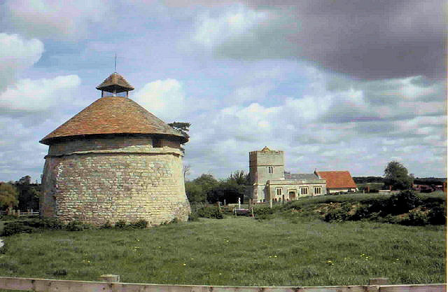
St Bartholomew's Church, Furtho

St Bartholomew's Church is a redundant Anglican church in the former village of Furtho, Northamptonshire, England. It is recorded in the National Heritage...

Old Stratford

Old Stratford is a village and wider civil parish in the south of the English county of Northamptonshire. The population of the civil parish (including...

Grafton Way (footpath)

The Grafton Way is a 13-mile (21 km) (also measured at 11.5 miles or 18.5 kilometres) footpath in Northamptonshire, England. It runs south east from Greens...

Cosgrove Hall, Northamptonshire

Cosgrove Hall is an early-18th-century Grade II listed country house in Cosgrove, Northamptonshire. It was built on the site of an earlier house by the...

Cosgrove, Northamptonshire

Cosgrove is a village in Northamptonshire, England, about 2 miles (3.2 km) north of Stony Stratford, 6 miles (9.7 km) north of Central Milton Keynes and...

Stony Stratford Town F.C.

Stony Stratford Town F.C. is a football club based in Stony Stratford, a constituent town of Milton Keynes, Buckinghamshire, England. The Senior Team are...

Puxley

Puxley is a hamlet in the West Northamptonshire civil parish of Deanshanger. England. It is 6 miles (10 km) west of Milton Keynes

Nearby Amenities

Located within 500m of 52.074006,-0.87005906
Place: farm
Lat/Long: 52.0717223/-0.8696191
The data included in this document is from www.openstreetmap.org. The data is made available under ODbL.

Have you been to Ash Pole Spinney?

Leave your review of Ash Pole Spinney below (or comments, questions and feedback).