Bank House Brow Plantation
Wood, Forest in Yorkshire Scarborough
England
Bank House Brow Plantation
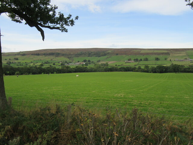
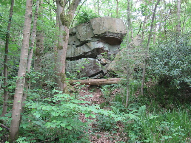
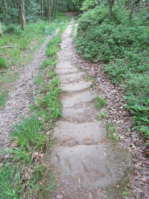
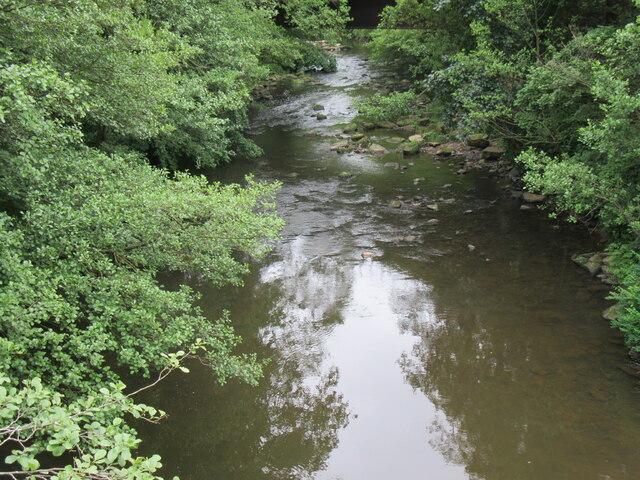
Bank House Brow Plantation is a majestic woodland area located in the picturesque region of Yorkshire, England. Spread over a vast expanse, the plantation is known for its dense and diverse collection of trees, making it a haven for nature enthusiasts and hikers alike. The plantation is situated on a gently sloping hill, providing stunning views of the surrounding countryside.
The woodland is primarily made up of deciduous trees, including oak, beech, and ash, which create a vibrant and colorful landscape throughout the year. These trees also provide a habitat for a wide variety of wildlife, including birds, mammals, and insects. Visitors can often spot species such as woodpeckers, deer, foxes, and butterflies as they explore the plantation.
Traversing through Bank House Brow Plantation, visitors can enjoy a network of well-maintained walking trails that cater to all levels of fitness and age groups. These trails wind through the woods, offering glimpses of enchanting flora and fauna along the way. The crisp, fresh air and the soothing sounds of nature make it an ideal destination for those seeking tranquility and a break from the hustle and bustle of city life.
Bank House Brow Plantation is easily accessible, with ample parking facilities and well-marked signposts guiding visitors to the entrance. The plantation is open year-round, allowing visitors to experience the changing seasons and witness the stunning display of colors during autumn. Whether it is a leisurely stroll, a family picnic, or a day of exploration, Bank House Brow Plantation offers a truly immersive and rejuvenating experience in the heart of Yorkshire's natural beauty.
If you have any feedback on the listing, please let us know in the comments section below.
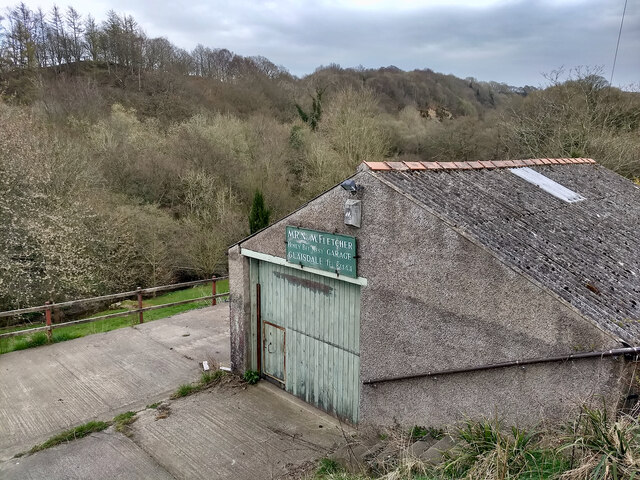
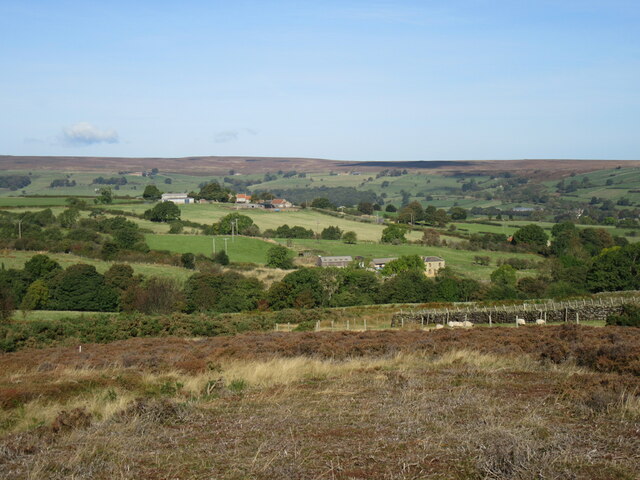
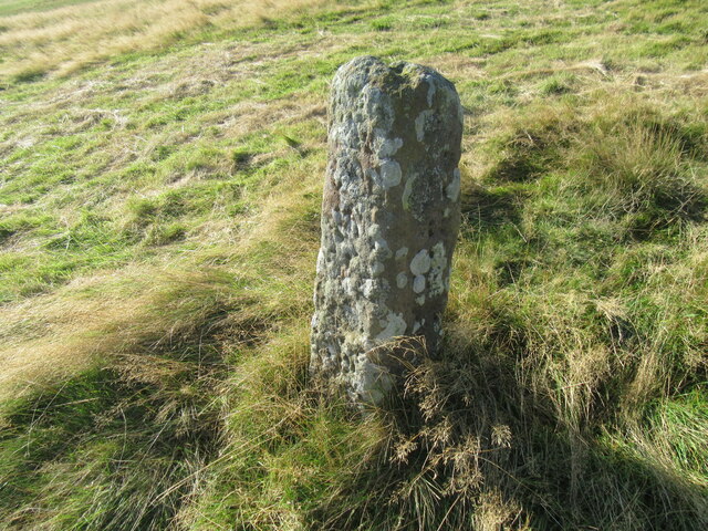
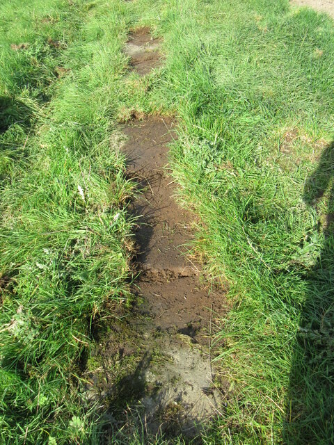
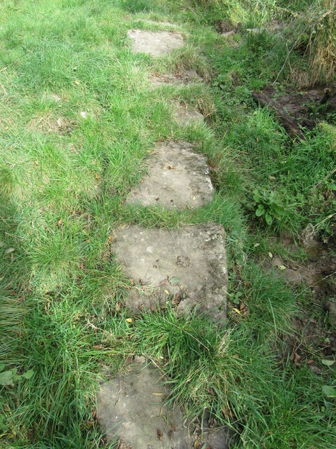
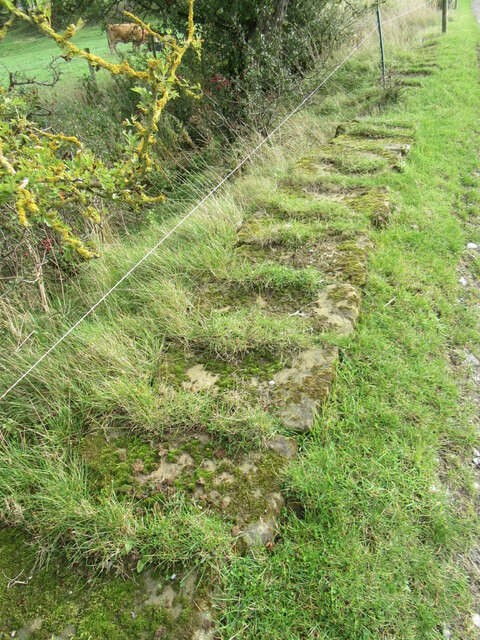
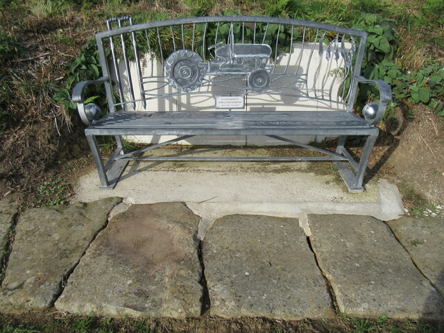
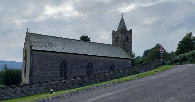
Bank House Brow Plantation Images
Images are sourced within 2km of 54.423107/-0.80690426 or Grid Reference NZ7703. Thanks to Geograph Open Source API. All images are credited.


Bank House Brow Plantation is located at Grid Ref: NZ7703 (Lat: 54.423107, Lng: -0.80690426)
Division: North Riding
Administrative County: North Yorkshire
District: Scarborough
Police Authority: North Yorkshire
What 3 Words
///repeated.strikers.tummy. Near Danby, North Yorkshire
Nearby Locations
Related Wikis

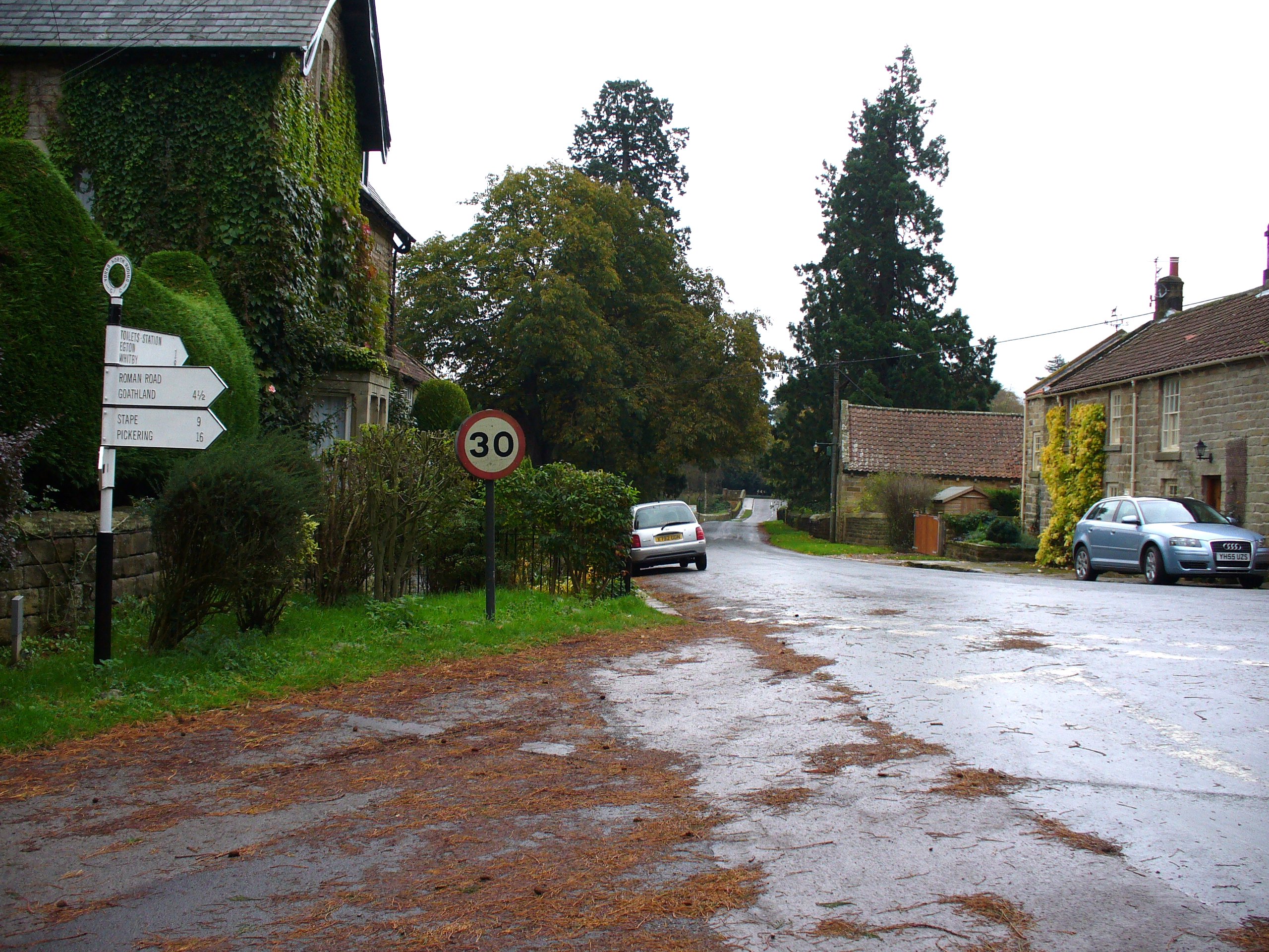
Glaisdale
Glaisdale is a village and civil parish in the Scarborough district of North Yorkshire, England, within the North York Moors National Park. It lies at...
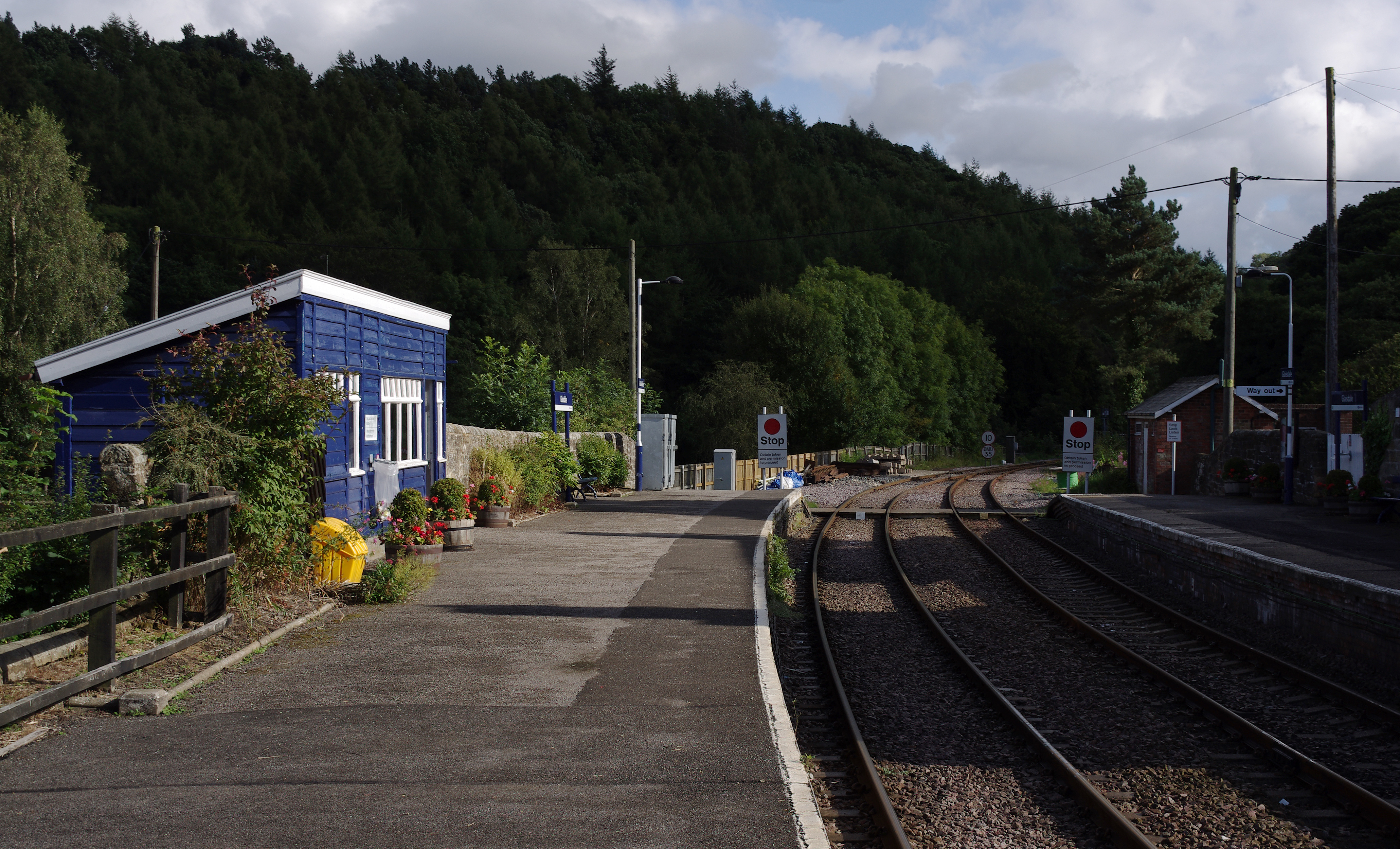
Glaisdale railway station
Glaisdale is a railway station on the Esk Valley Line, which runs between Middlesbrough and Whitby via Nunthorpe. The station, situated 9 miles 33 chains...
Egton Bridge
Egton Bridge is a village in the Scarborough district of North Yorkshire, England. It lies within the North York Moors National Park, on the River Esk...

Egton Manor
Egton Manor is an historic country house near the village of Egton Bridge, on the banks of the River Esk in the North Yorkshire Moors. The Grade II listed...

Egton railway station
Egton is a railway station on the Esk Valley Line, which runs between Middlesbrough and Whitby via Nunthorpe. The station, situated 7 miles 66 chains...

St Hilda's Church, Egton
St Hilda's church, Egton, is a Church of England church in Egton, North Yorkshire, built in 1879 and designed by local architect E. H. Smales. St Hilda...

Lealholm
Lealholm is a small village in the Glaisdale civil parish of the Borough of Scarborough, in North Yorkshire, England. It is sited at a crossing point of...

Egton
Egton is a village and civil parish in the Scarborough local administration district of North Yorkshire county, England, about 5 miles (8 km) west of Whitby...
Nearby Amenities
Located within 500m of 54.423107,-0.80690426Have you been to Bank House Brow Plantation?
Leave your review of Bank House Brow Plantation below (or comments, questions and feedback).