Buttermilk Hill Spinney

Wood, Forest in Leicestershire Melton

England

Buttermilk Hill Spinney

Stonepit Terrace, Pickwell
Stonepit Terrace, Pickwell Credit: Jonathan Thacker

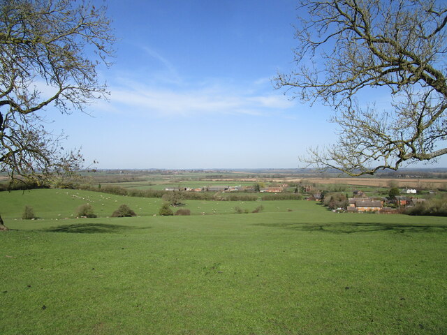
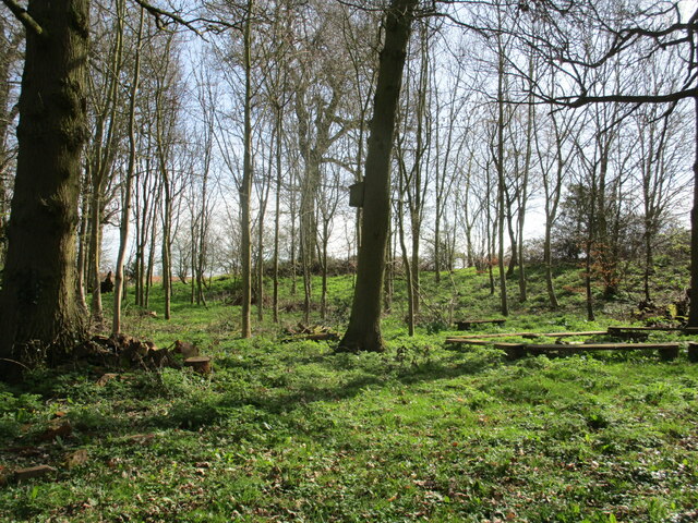
Buttermilk Hill Spinney is a small woodland area located in Leicestershire, England. Situated on the outskirts of the village of Wood, this spinney is a hidden gem for nature enthusiasts and local residents alike.

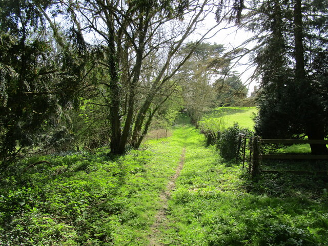
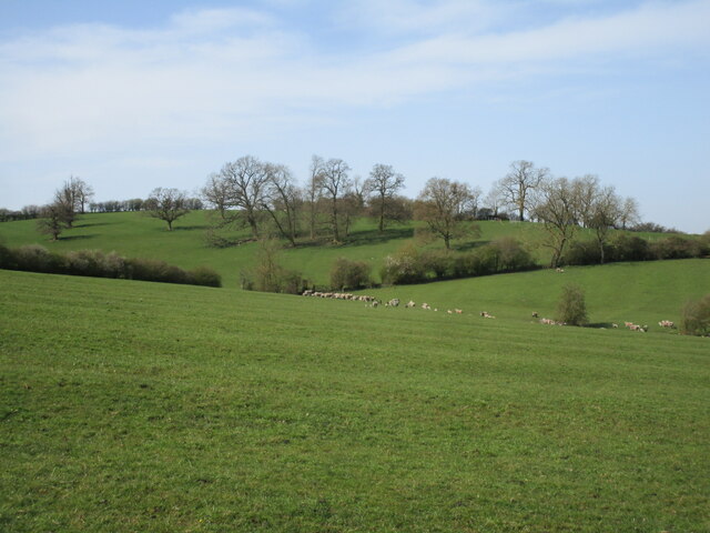
Spanning approximately 5 acres, Buttermilk Hill Spinney is characterized by its dense tree cover, featuring a variety of native species such as oak, ash, and birch. The woodland floor is covered in a lush carpet of wildflowers and ferns, creating a vibrant and picturesque setting.

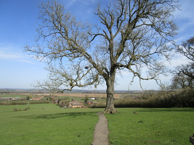
The spinney is crisscrossed with narrow footpaths, allowing visitors to explore its nooks and crannies. These pathways wind through the trees, offering glimpses of wildlife such as squirrels, rabbits, and a wide array of bird species. The peaceful ambiance of the spinney makes it a perfect spot for birdwatching or simply enjoying a leisurely stroll.

In addition to its natural beauty, Buttermilk Hill Spinney also has historical significance. It is believed to have been part of an ancient forest that once covered the area, and remnants of this history can still be found in the form of old boundary walls and moss-covered stone structures.

The spinney is easily accessible, with a small car park located nearby and public footpaths leading directly to its entrance. It provides an oasis of tranquility and a connection to nature for the local community, offering a respite from the hustle and bustle of everyday life.

If you have any feedback on the listing, please let us know in the comments section below.

Buttermilk Hill Spinney Images

Images are sourced within 2km of 52.705684/-0.85536885 or Grid Reference SK7712. Thanks to Geograph Open Source API. All images are credited.

Stonepit Terrace, Pickwell
Cottage. Main Street, Pickwell
Trees and All Saints' church, Pickwell
Barns at Pickwell Manor Now in domestic use <span class="nowrap"><a title="https://historicengland.org.uk/listing/the-list/list-entry/1061245" rel="nofollow ugc noopener" href="https://historicengland.org.uk/listing/the-list/list-entry/1061245">Link</a><img style="margin-left:2px;" alt="External link" title="External link - shift click to open in new window" src="https://s1.geograph.org.uk/img/external.png" width="10" height="10"/></span>
Barns at Pickwell Manor
Now in domestic use LinkExternal link
Bridleway at Pickwell Looking towards the village.
Bridleway at Pickwell
Looking towards the village.
Autumn sown crop, Pickwell
Little Dalby, All Saints
Burrough on the Hill - Iron Age Hill Fort Burrough on the Hill - Iron Age Hill Fort, Leicestershire.
Burrough on the Hill - Iron Age Hill Fort
Burrough on the Hill - Iron Age Hill Fort, Leicestershire.
By the church, Little Dalby Looking north from close to the church gate.
By the church, Little Dalby
Looking north from close to the church gate.
Private path alongside the churchyard, Little Dalby
The churchyard, Little Dalby Like most local churchyards there is a good collection of Swithland slate headstones.
The churchyard, Little Dalby
Like most local churchyards there is a good collection of Swithland slate headstones.
Hut in a field, Little Dalby Purpose unknown.
Hut in a field, Little Dalby
Purpose unknown.
Ash tree by the footpath from church to village, Little Dalby
Grassland, Little Dalby
Feeding the sheep, Little Dalby The farmer has brought extra feed for her sheep.
Feeding the sheep, Little Dalby
The farmer has brought extra feed for her sheep.
Grassland and scattered trees, Great Dalby
Hollies Wood, Little Dalby A small area of woodland maintained by the Ernest Cook Trust <span class="nowrap"><a title="https://ernestcooktrust.org.uk/" rel="nofollow ugc noopener" href="https://ernestcooktrust.org.uk/">Link</a><img style="margin-left:2px;" alt="External link" title="External link - shift click to open in new window" src="https://s1.geograph.org.uk/img/external.png" width="10" height="10"/></span> for use by children.
Hollies Wood, Little Dalby
A small area of woodland maintained by the Ernest Cook Trust LinkExternal link for use by children.
Communications centre. Little Dalby
Show me another place!

Buttermilk Hill Spinney is located at Grid Ref: SK7712 (Lat: 52.705684, Lng: -0.85536885)

Administrative County: Leicestershire

District: Melton

Police Authority: Leicestershire

What 3 Words

///rating.suspended.prevents. Near Langham, Rutland

Related Wikis

East Goscote Hundred

East Goscote Hundred was a hundred of Leicestershire, that arose from the division of the ancient Goscote hundred (also known as a Wapentake) into two...
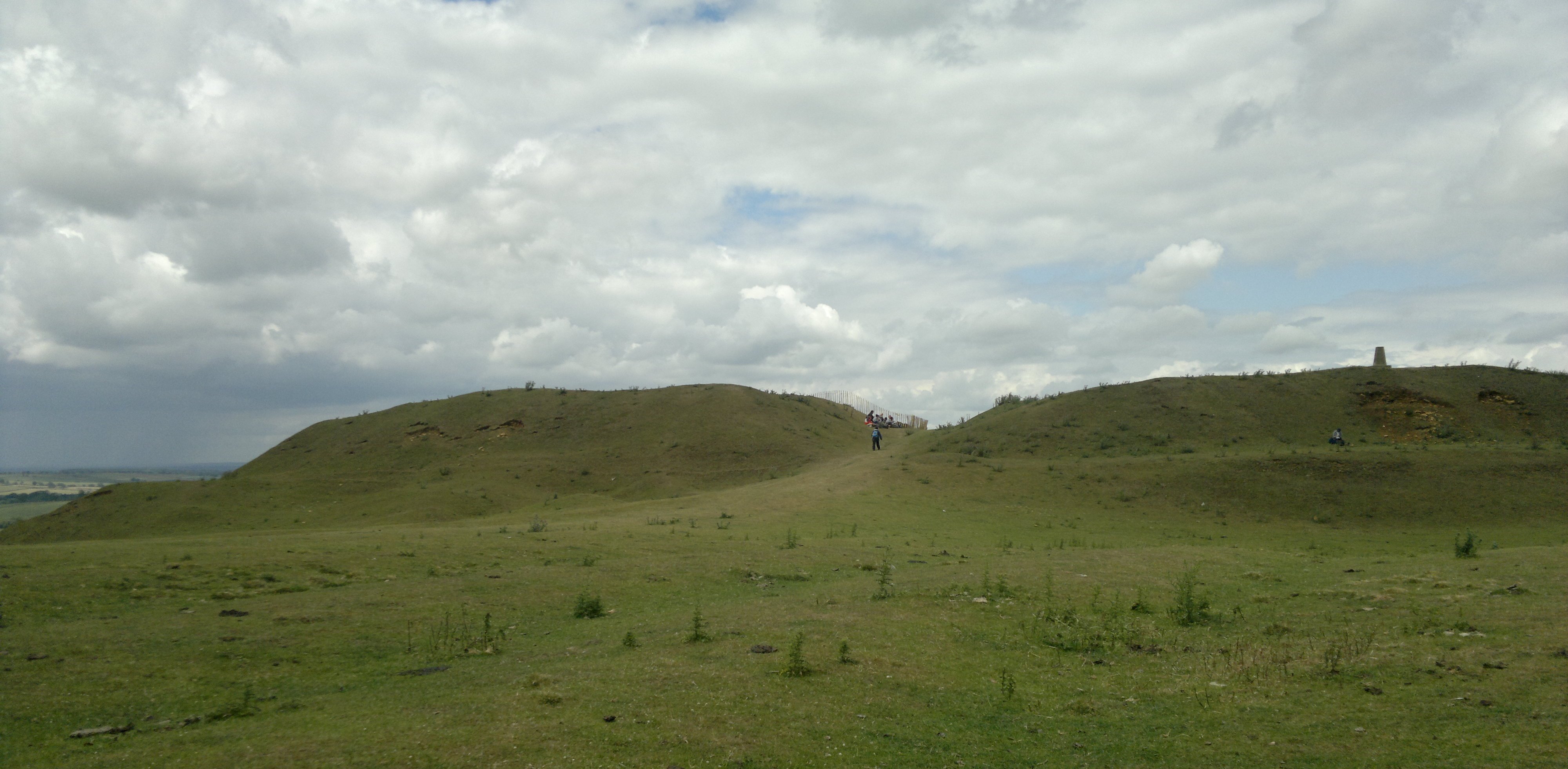
Burrough Hill

Burrough Hill is an Iron Age hillfort in Burrough on the Hill, 7 miles (11 km) south of Melton Mowbray in the English county of Leicestershire. Situated...

Pickwell

Pickwell is a small, hill-crest village 5 miles (8.0 km) south-east of Melton Mowbray in the Melton district, in Leicestershire which used to have an ecclesiastical...

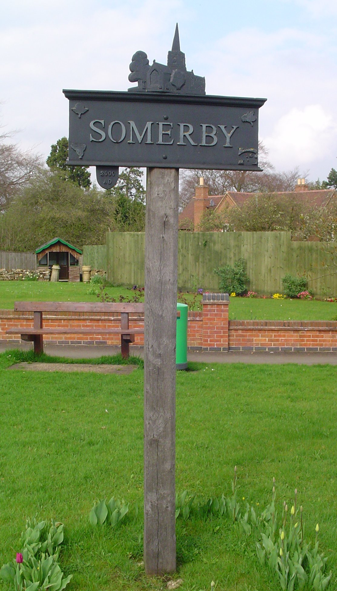
Somerby, Leicestershire

Somerby is a village and civil parish in the Melton district, in the county of Leicestershire, England. It is 5+1⁄2 miles (8.9 km) south of Melton Mowbray...

Nearby Amenities

Located within 500m of 52.705684,-0.85536885
Bench
Lat/Long: 52.7028128/-0.8545649
Dalby Hills Path
Tourism: information
Lat/Long: 52.7051336/-0.8547312
The data included in this document is from www.openstreetmap.org. The data is made available under ODbL.

Have you been to Buttermilk Hill Spinney?

Leave your review of Buttermilk Hill Spinney below (or comments, questions and feedback).