Acre Plantation
Wood, Forest in Yorkshire
England
Acre Plantation

Acre Plantation, located in Yorkshire, is a picturesque woodland area that spans over several acres. Nestled within the beautiful landscape of Yorkshire, this plantation is an ideal destination for nature enthusiasts and those seeking tranquility.
The plantation is primarily composed of various tree species, including oak, beech, and birch. These trees form a dense canopy, providing shade and creating a serene atmosphere. The lush undergrowth, consisting of ferns, wildflowers, and moss-covered rocks, adds to the enchanting ambiance of the woodland.
Acre Plantation is home to a diverse array of wildlife, making it a haven for animal lovers and bird watchers. Visitors may be fortunate enough to spot red squirrels, badgers, deer, and a wide variety of bird species such as woodpeckers, owls, and thrushes. The peaceful setting and abundant wildlife make the plantation a perfect spot for photography and nature observation.
The plantation is well-maintained, with clearly marked trails and paths for visitors to explore. There are also picnic areas and benches strategically placed throughout, allowing visitors to take a break and enjoy the surroundings. Acre Plantation is open to the public year-round, with free admission, making it accessible to all.
Whether you are looking for a peaceful walk, a place to immerse yourself in nature, or simply a serene setting to relax and unwind, Acre Plantation in Yorkshire is a must-visit destination. Its natural beauty, diverse wildlife, and well-kept trails provide an unforgettable experience for visitors of all ages.
If you have any feedback on the listing, please let us know in the comments section below.
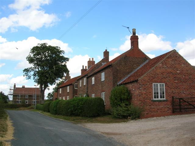
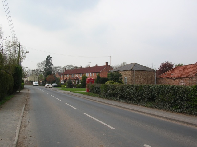
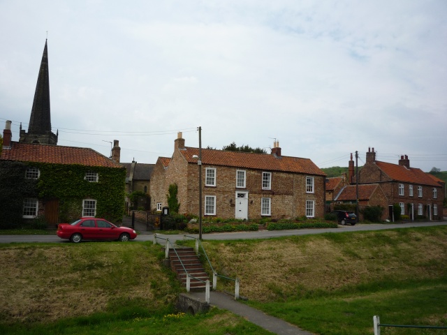
Acre Plantation Images
Images are sourced within 2km of 53.998177/-0.82351027 or Grid Reference SE7756. Thanks to Geograph Open Source API. All images are credited.


Acre Plantation is located at Grid Ref: SE7756 (Lat: 53.998177, Lng: -0.82351027)
Division: East Riding
Unitary Authority: East Riding of Yorkshire
Police Authority: Humberside
What 3 Words
///currently.purse.mingles. Near Bugthorpe, East Yorkshire
Nearby Locations
Related Wikis
Youlthorpe
Youlthorpe is a hamlet in the East Riding of Yorkshire, England. It forms part of the civil parish of Bishop Wilton. It is situated approximately 10 miles...

Bugthorpe
Bugthorpe is a village and civil parish in the East Riding of Yorkshire, England, about 11 miles (18 km) east of York and 16 miles (26 km) west of Driffield...

Gowthorpe
Gowthorpe is a hamlet in the East Riding of Yorkshire, England. It is situated approximately 4 miles (6 km) north-west of Pocklington town centre and 3...

Garrowby
Garrowby is a hamlet in the East Riding of Yorkshire, England. It is situated approximately 5 miles (8 km) north of Pocklington town centre. It lies to...

Skirpenbeck
Skirpenbeck is a village and civil parish in the East Riding of Yorkshire, England. It is situated 2 miles (3.2 km) north-west of Stamford Bridge just...
Full Sutton
Full Sutton is a village and civil parish in the East Riding of Yorkshire, England. It is situated approximately 2 miles (3 kilometres) east of the village...
Bishop Wilton
Bishop Wilton is a small village and civil parish in the East Riding of Yorkshire, England. It is situated approximately 4 miles (6 km) north of Pocklington...

Fangfoss
Fangfoss is a village and civil parish in the East Riding of Yorkshire, England. It is situated approximately 11 miles (18 km) to the east of the city...
Nearby Amenities
Located within 500m of 53.998177,-0.82351027Have you been to Acre Plantation?
Leave your review of Acre Plantation below (or comments, questions and feedback).