Nansley's Brake
Wood, Forest in Buckinghamshire
England
Nansley's Brake

Nansley's Brake, located in Buckinghamshire, is a picturesque woodland area known for its natural beauty and serene atmosphere. Situated in the heart of the county, this enchanting forest is a popular destination for nature enthusiasts and outdoor adventurers.
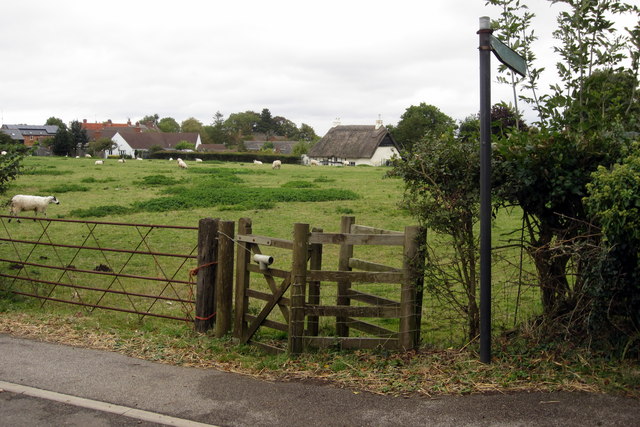
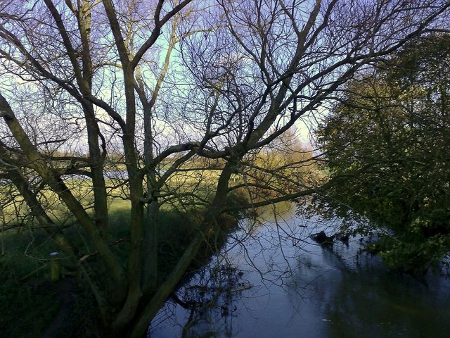
Covering a significant area, Nansley's Brake is home to a diverse range of flora and fauna. The woodland is composed of tall, majestic trees, including oak, beech, and birch, which create a dense canopy, providing shade and shelter for various species of wildlife.
The forest floor is adorned with an array of wildflowers, creating a vibrant carpet of colors during the spring and summer months. Visitors can enjoy leisurely walks along the well-maintained trails, taking in the breathtaking sights and sounds of nature. The peaceful atmosphere of Nansley's Brake makes it an ideal spot for birdwatching, with a variety of species, such as blue tits, blackbirds, and woodpeckers, frequently spotted among the treetops.
The woodland also offers opportunities for recreational activities, including picnicking, camping, and photography. Families often visit the area to engage in outdoor games and explore the natural playgrounds that Nansley's Brake has to offer.
Managed by local authorities, the forest is carefully preserved to maintain its ecological balance and protect its natural resources. Nansley's Brake serves as a valuable habitat for many protected species, contributing to the overall biodiversity of the region.
In conclusion, Nansley's Brake in Buckinghamshire is a captivating woodland area that showcases the beauty of nature. It provides a tranquil escape for visitors, offering a range of activities and opportunities to connect with the natural environment.
If you have any feedback on the listing, please let us know in the comments section below.
Nansley's Brake Images
Images are sourced within 2km of 51.994309/-0.88514541 or Grid Reference SP7633. Thanks to Geograph Open Source API. All images are credited.


Nansley's Brake is located at Grid Ref: SP7633 (Lat: 51.994309, Lng: -0.88514541)
Unitary Authority: Buckinghamshire
Police Authority: Thames Valley
What 3 Words
///sleep.firebird.scouting. Near Great Horwood, Buckinghamshire
Nearby Locations
Related Wikis
Singleborough
Singleborough is a hamlet in the parish of Great Horwood, in Buckinghamshire, England. It is located about a mile from the main village. The hamlet name...

Nash, Buckinghamshire
Nash is a village and also a civil parish in Buckinghamshire, England, within the Buckinghamshire Council unitary authority area. It is in the north of...
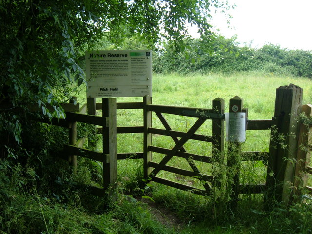
Pilch Fields
Pilch Fields is an 11.1-hectare (27-acre) biological Site of Special Scientific Interest (SSSI) west of Great Horwood in Buckinghamshire. It is managed...
Thornton, Buckinghamshire
Thornton is a village and civil parish on the River Great Ouse about 3.5 miles (5.6 km) north-east of Buckingham in the unitary authority area of Buckinghamshire...

Thornborough, Buckinghamshire
Thornborough is a village and civil parish in north Buckinghamshire, England, around 2 miles (3.2 km) east of Buckingham. == History == The village name...

Great Horwood
Great Horwood is a small village and is also a civil parish within the unitary authority area of Buckinghamshire, England with a population of about 1025...
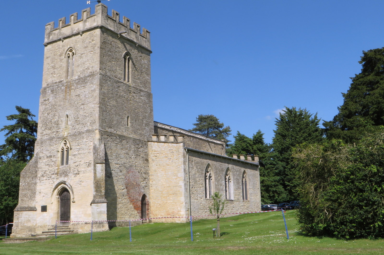
St Michael and All Angels' Church, Thornton
St Michael and All Angels' Church is a redundant Anglican church in the village of Thornton, Buckinghamshire, England. It is recorded in the National...

Coombs Quarry
Coombs Quarry is a 0.5 hectare Local Nature Reserve east of Buckingham. It is owned and managed by Buckinghamshire County Council.This very small site...
Nearby Amenities
Located within 500m of 51.994309,-0.88514541Have you been to Nansley's Brake?
Leave your review of Nansley's Brake below (or comments, questions and feedback).