The Wilderness

Wood, Forest in Buckinghamshire

England

The Wilderness

Telegraph pole and wires on Cuddington Road
Telegraph pole and wires on Cuddington Road Credit: David Howard

The Wilderness, located in Buckinghamshire, England, is a stunning wood and forest area that spans approximately 200 acres. This natural haven showcases the beauty and diversity of the British countryside, making it a popular destination for nature enthusiasts and outdoor adventurers.

The Wilderness is characterized by its dense woodland, with towering trees and a rich undergrowth. The forest is home to an array of wildlife, including deer, rabbits, birds, and various species of insects. It provides a thriving habitat for these creatures, offering a balance between their natural environment and human interaction.

Visitors to The Wilderness can explore its vast network of walking trails and paths, which meander through the woods and offer breathtaking views of the surrounding landscape. The forest is also intersected by a small river, enhancing the serenity and tranquility of the area.

For those seeking a more immersive experience, The Wilderness offers camping grounds and picnic areas, allowing visitors to spend extended periods of time in this enchanting natural setting. Additionally, there are designated areas for barbecues and outdoor activities, making it an ideal location for families and groups.

The Wilderness truly encapsulates the essence of Buckinghamshire's natural beauty, offering a retreat from the hustle and bustle of everyday life. Its picturesque scenery, diverse wildlife, and extensive recreational opportunities make it a must-visit destination for anyone looking to reconnect with nature in this idyllic part of England.

If you have any feedback on the listing, please let us know in the comments section below.

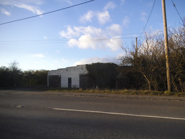
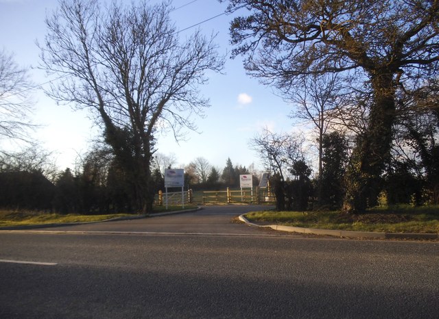
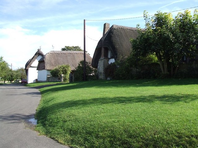
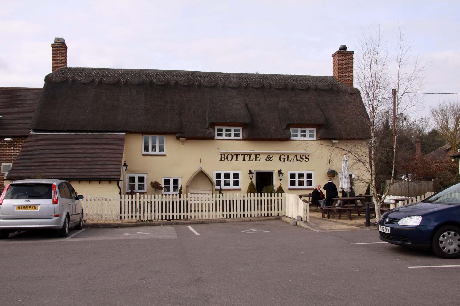
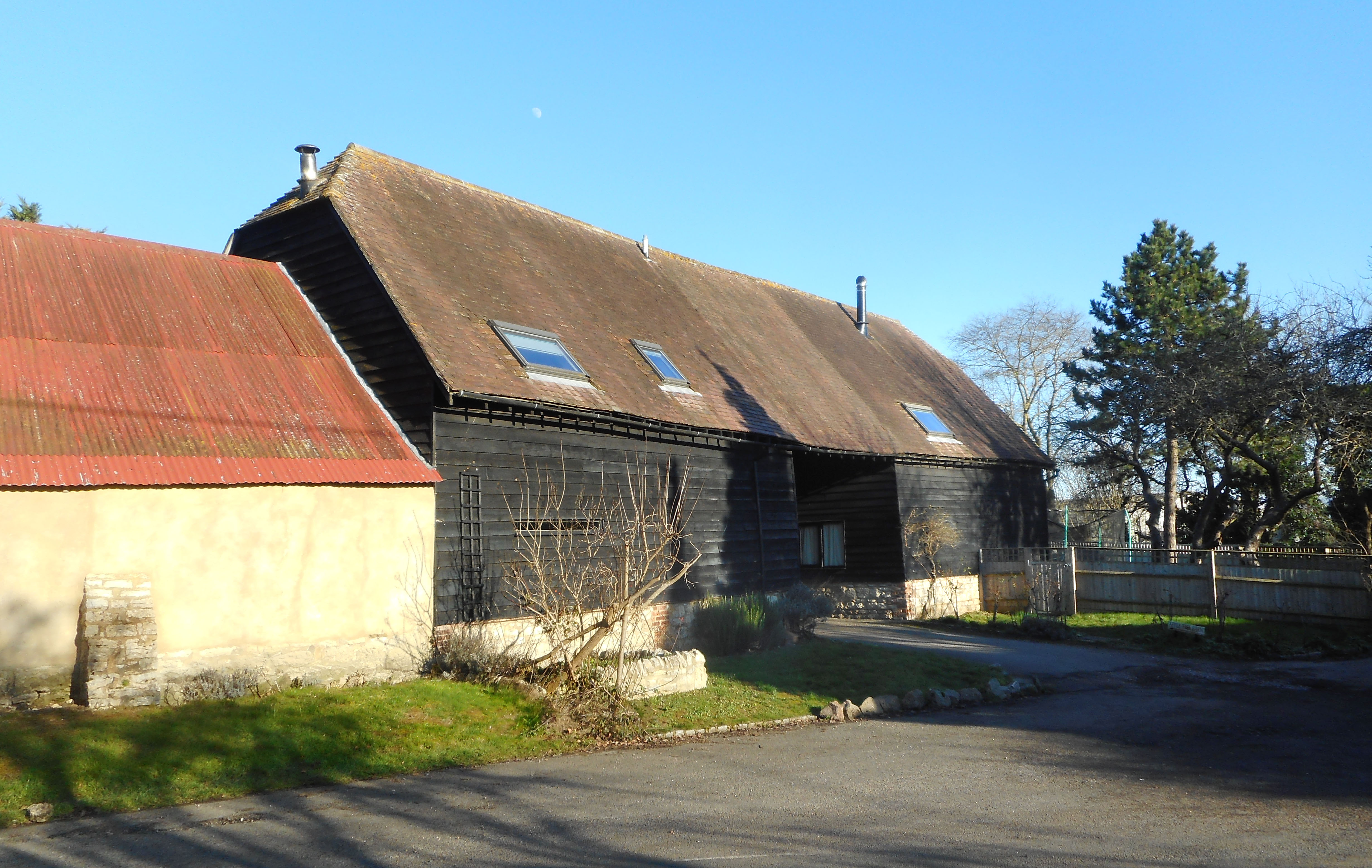
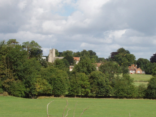
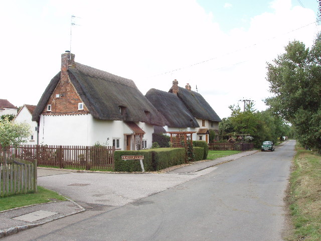
The Wilderness Images

Images are sourced within 2km of 51.7919/-0.89109936 or Grid Reference SP7610. Thanks to Geograph Open Source API. All images are credited.

Telegraph pole and wires on Cuddington Road
Cuddington Road near Gibraltar
Farm track off Cuddington Road
Farmland, Dinton Beans beside the footpath west of Starveall Farm.
Farmland, Dinton
Beans beside the footpath west of Starveall Farm.
Farmhouse, Dinton, Buckinghamshire
Old Milepost by the A418 in Dinton Cast iron post by the A418, in parish of Haddenham (Aylesbury Vale District), Aylesbury Road; Haddenham Low, opposite Horridge Meadow bungalow, 100m past Westlington House, close to telegraph pole, on grass verge between road and ditch and hedge, on South side of road. Seymour iron casting, erected by the Aylesbury, Thame, Oxford & Shillingford turnpike trust in the 19th century. 

Inscription reads:-
: TO / THAME / 5 : : HADDENHAM / PARISH : : TO / AYLES- / -BURY / 5 :
Maker:-
: SEYMOUR / AYLESBURY. :

Buckinghamshire HER.
HER Number: 1417900000 <span class="nowrap"><a title="https://www.heritagegateway.org.uk/Gateway/Results_Single.aspx?uid=MBC26559&resourceID=1024" rel="nofollow ugc noopener" href="https://www.heritagegateway.org.uk/Gateway/Results_Single.aspx?uid=MBC26559&resourceID=1024">Link</a><img style="margin-left:2px;" alt="External link" title="External link - shift click to open in new window" src="https://s1.geograph.org.uk/img/external.png" width="10" height="10"/></span>

Milestone Society National ID: BU_AYTH05
Old Milepost by the A418 in Dinton
Cast iron post by the A418, in parish of Haddenham (Aylesbury Vale District), Aylesbury Road; Haddenham Low, opposite Horridge Meadow bungalow, 100m past Westlington House, close to telegraph pole, on grass verge between road and ditch and hedge, on South side of road. Seymour iron casting, erected by the Aylesbury, Thame, Oxford & Shillingford turnpike trust in the 19th century. Inscription reads:- : TO / THAME / 5 : : HADDENHAM / PARISH : : TO / AYLES- / -BURY / 5 : Maker:- : SEYMOUR / AYLESBURY. : Buckinghamshire HER. HER Number: 1417900000 LinkExternal link Milestone Society National ID: BU_AYTH05
Garages on Oxford Road, Upton
Oxford Road, Upton
Oxford Road, Upton
Oxford Road, Dinton
Oxford Road, Dinton
The entrance to Foxglove Farm, Westlington
Aylesbury Road, Westlington
La Chouette Restaurnt, Westlington, Dinton Nearly 12 years since I took <a href="https://www.geograph.org.uk/photo/247504">SP7610 : La Chouette, Dinton</a> and I'm pleased to report that La Chouette Belgian Restaurant is still going strong. It is situated on the green in Westlington, a hamlet which is joined to the larger village of Dinton. They are both remarkably pretty villages with a host of thatched cottages.
La Chouette website here <span class="nowrap"><a title="http://lachouette.co.uk" rel="nofollow ugc noopener" href="http://lachouette.co.uk">Link</a><img style="margin-left:2px;" alt="External link" title="External link - shift click to open in new window" src="https://s1.geograph.org.uk/img/external.png" width="10" height="10"/></span>
La Chouette Restaurnt, Westlington, Dinton
Nearly 12 years since I took SP7610 : La Chouette, Dinton and I'm pleased to report that La Chouette Belgian Restaurant is still going strong. It is situated on the green in Westlington, a hamlet which is joined to the larger village of Dinton. They are both remarkably pretty villages with a host of thatched cottages. La Chouette website here LinkExternal link
SS Peter & Paul Church, Dinton The church of SS Peter & Paul in Dinton dates originally from the C13th, although the south porch is even older by maybe a century. It has been enlarged on several occasions in the following centuries, most noticeably the C15th and inevitably the C19th.
It is one of the select group of churches in the area to house an "Aylesbury Font" (see below) although unfortunately I have never managed to visit when it is open, so have not yet photographed it (nor indeed seen it).
See  view of its southern façade here <a href="https://www.geograph.org.uk/photo/5766605">SP7611 : Dinton - SS Peter & Paul - Southern façade</a>
It is EH Grade I listed <span class="nowrap"><a title="https://historicengland.org.uk/listing/the-list/list-entry/1319069" rel="nofollow ugc noopener" href="https://historicengland.org.uk/listing/the-list/list-entry/1319069">Link</a><img style="margin-left:2px;" alt="External link" title="External link - shift click to open in new window" src="https://s1.geograph.org.uk/img/external.png" width="10" height="10"/></span>
SS Peter & Paul Church, Dinton
The church of SS Peter & Paul in Dinton dates originally from the C13th, although the south porch is even older by maybe a century. It has been enlarged on several occasions in the following centuries, most noticeably the C15th and inevitably the C19th. It is one of the select group of churches in the area to house an "Aylesbury Font" (see below) although unfortunately I have never managed to visit when it is open, so have not yet photographed it (nor indeed seen it). See view of its southern façade here SP7611 : Dinton - SS Peter & Paul - Southern façade It is EH Grade I listed LinkExternal link
Base of churchyard cross, Dinton In the churchyard of <a href="https://www.geograph.org.uk/photo/5766544">SP7611 : SS Peter & Paul Church, Dinton</a>, a little south of the South Porch is this stubby little base of a churchyard cross. It is thought to date from the C15th. 
EH Grade II listed <span class="nowrap"><a title="https://historicengland.org.uk/listing/the-list/list-entry/1118275" rel="nofollow ugc noopener" href="https://historicengland.org.uk/listing/the-list/list-entry/1118275">Link</a><img style="margin-left:2px;" alt="External link" title="External link - shift click to open in new window" src="https://s1.geograph.org.uk/img/external.png" width="10" height="10"/></span>
Base of churchyard cross, Dinton
In the churchyard of SP7611 : SS Peter & Paul Church, Dinton, a little south of the South Porch is this stubby little base of a churchyard cross. It is thought to date from the C15th. EH Grade II listed LinkExternal link
Dinton Hall from the churchyard This is the eastern (or more accurately ENE) flank of Dinton Hall (see <a href="https://www.geograph.org.uk/photo/247494">SP7611 : Dinton Hall</a>) as seen from the churchyard of <a href="https://www.geograph.org.uk/photo/5766544">SP7611 : SS Peter & Paul Church, Dinton</a>
Dinton Hall is EH Grade II* listed <span class="nowrap"><a title="https://historicengland.org.uk/listing/the-list/list-entry/1158977" rel="nofollow ugc noopener" href="https://historicengland.org.uk/listing/the-list/list-entry/1158977">Link</a><img style="margin-left:2px;" alt="External link" title="External link - shift click to open in new window" src="https://s1.geograph.org.uk/img/external.png" width="10" height="10"/></span>
Dinton Hall from the churchyard
This is the eastern (or more accurately ENE) flank of Dinton Hall (see SP7611 : Dinton Hall) as seen from the churchyard of SP7611 : SS Peter & Paul Church, Dinton Dinton Hall is EH Grade II* listed LinkExternal link
Westlington Green A view across the green in Westlington to some of the cottages and houses on Wootton Lane. There are numerous lovely thatched dwellings in Westlington and Dinton.
Westlington Green
A view across the green in Westlington to some of the cottages and houses on Wootton Lane. There are numerous lovely thatched dwellings in Westlington and Dinton.
Dinton - SS Peter & Paul - Southern façade The fine EH Grade I listed <span class="nowrap"><a title="https://historicengland.org.uk/listing/the-list/list-entry/1319069" rel="nofollow ugc noopener" href="https://historicengland.org.uk/listing/the-list/list-entry/1319069">Link</a><img style="margin-left:2px;" alt="External link" title="External link - shift click to open in new window" src="https://s1.geograph.org.uk/img/external.png" width="10" height="10"/></span> church of SS Peter & Paul in Dinton. The oldest (visible) part of the church is thought to be the south porch (seen roughly in the middle of the church in this image) which is thought to date from the C12th.
It has an elaborately carved interior which can be seen in the links below:
<a href="https://www.geograph.org.uk/photo/5766607">SP7611 : Dinton - SS Peter & Paul - South Porch</a>
<a href="https://www.geograph.org.uk/photo/5766611">SP7611 : Dinton - SS Peter & Paul - South Porch - Detail of carving</a>
<a href="https://www.geograph.org.uk/photo/5766617">SP7611 : Simple carved stone head, SS Peter & Paul, Dinton</a>
Dinton - SS Peter & Paul - Southern façade
The fine EH Grade I listed LinkExternal link church of SS Peter & Paul in Dinton. The oldest (visible) part of the church is thought to be the south porch (seen roughly in the middle of the church in this image) which is thought to date from the C12th. It has an elaborately carved interior which can be seen in the links below: SP7611 : Dinton - SS Peter & Paul - South Porch SP7611 : Dinton - SS Peter & Paul - South Porch - Detail of carving SP7611 : Simple carved stone head, SS Peter & Paul, Dinton
Show me another place!

The Wilderness is located at Grid Ref: SP7610 (Lat: 51.7919, Lng: -0.89109936)

Unitary Authority: Buckinghamshire

Police Authority: Thames Valley

What 3 Words

///evaded.pedicure.marked. Near Stone, Buckinghamshire

Related Wikis

Dinton Cricket Club Ground

Oxford Road Cricket Ground is the home of Dinton CC and a cricket ground in Dinton, Buckinghamshire. Although the site has existed as Dinton CC'S ground...

Westlington

Westlington is a hamlet near the village of Dinton in the civil parish of Dinton-with-Ford and Upton, Buckinghamshire, England.On the 1st of April 2002...
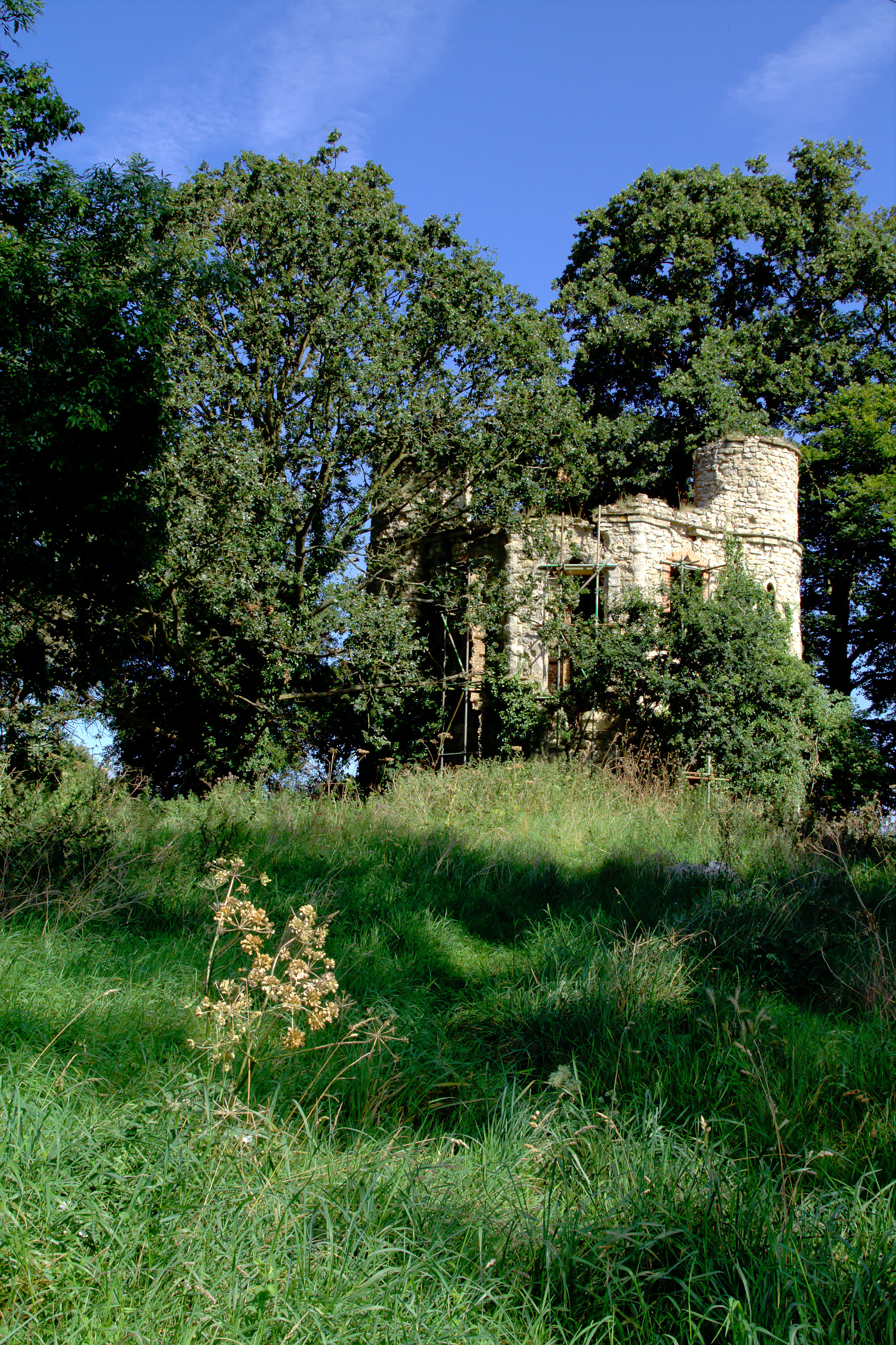
Dinton Castle

Dinton Castle (also known as Dinton Folly) is located just north of the village of Dinton, in Buckinghamshire and was built as an eyecatcher from the Dinton...

Gibraltar, Buckinghamshire

Gibraltar is a hamlet in the parish of Dinton-with-Ford and Upton in Buckinghamshire, England. It is located on the modern main road that links Aylesbury...

Upton, Buckinghamshire

Upton is a hamlet in the civil parish of Dinton-with-Ford and Upton, in Buckinghamshire, England. It is located to the north of the main village of Dinton...

Dinton, Buckinghamshire

Dinton is a village in Buckinghamshire, England, within the Buckinghamshire Council unitary authority area. It is in the south of the Aylesbury Vale on...

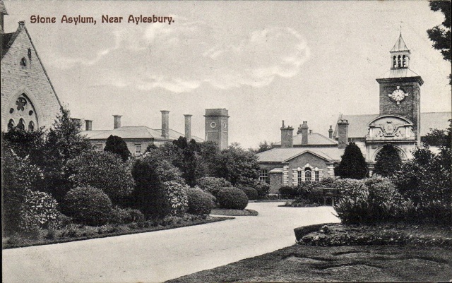
St John's Hospital, Stone

St John's Hospital was a mental health facility at Stone, Buckinghamshire, England. == History == The hospital, which was designed by Thomas Henry Wyatt...

Ford, Buckinghamshire

Ford is a hamlet in the parish of Dinton-with-Ford and Upton, in Buckinghamshire, England. It is located in the south eastern corner of the parish. The...

Nearby Amenities

Located within 500m of 51.7919,-0.89109936
Barrier: kissing_gate
Lat/Long: 51.7902565/-0.8920089
Dinton
Created By: Potlatch 0.8b
Historic: castle
Lat/Long: 51.7946822/-0.8893144
Fixme: ?building?
Lat/Long: 51.7918747/-0.8950712
Created By: Potlatch 0.8b
Fixme: ?building?
Source: NPE
Lat/Long: 51.7946352/-0.8859731
Fixme: ?building?
Source: npe
Lat/Long: 51.7932549/-0.888548
Fixme: ?building?
Source: npe
Lat/Long: 51.7933611/-0.8878614
Fixme: ?building?
Source: npe
Lat/Long: 51.7922994/-0.8884622
Fixme: ?building?
Source: npe
Lat/Long: 51.7925648/-0.8878614
Fixme: ?building?
Source: npe
Lat/Long: 51.7927241/-0.885544
Fixme: ?building?
Source: npe
Lat/Long: 51.7921401/-0.8843423
Westlington
Place: hamlet
Wikidata: Q7989050
Wikipedia: en:Westlington
Lat/Long: 51.7887955/-0.8955003
Dinton
Place: village
Website: https://www.dinton.info/
Wikidata: Q2007406
Wikipedia: en:Dinton, Buckinghamshire
Lat/Long: 51.7905964/-0.8929426
Barrier: kissing_gate
Lat/Long: 51.7890853/-0.8964058
Bus Stop
Bench: no
Bin: no
Bus: yes
Public Transport: platform
Shelter: no
Tactile Paving: no
Lat/Long: 51.7957567/-0.8925688
Pub
The Seven Stars
Addr Postcode: HP17 8UL
Addr Street: Stars Lane
Fhrs Id: 446949
Source: survey
Survey Date: 2015-08-22
Website: https://www.sevenstarsdinton.com/
Wikidata: Q26411769
Lat/Long: 51.7897739/-0.895244
Post Box
Brand: Royal Mail
Brand Wikidata: Q638098
Brand Wikipedia: en:Royal Mail
Collection Times: Mo-Fr 09:00; Sa 07:00
Operator: Royal Mail
Operator Wikidata: Q638098
Post Box Type: wall
Ref: HP17 175D
Royal Cypher: EIIR
Royal Cypher Wikidata: Q33102113
Source: survey
Survey Date: 2015-08-22
Lat/Long: 51.7892906/-0.894202
Post Box
Brand: Royal Mail
Brand Wikidata: Q638098
Brand Wikipedia: en:Royal Mail
Collection Times: Mo-Fr 16:00; Sa 08:00
Operator: Royal Mail
Operator Wikidata: Q638098
Post Box Type: wall
Ref: HP17 176
Royal Cypher: EIIR
Royal Cypher Wikidata: Q33102113
Source: survey
Survey Date: 2015-08-22
Lat/Long: 51.7934954/-0.8892896
Bench
Backrest: yes
Lat/Long: 51.7926998/-0.8891912
Bench
Backrest: yes
Lat/Long: 51.7929432/-0.8895875
Historic: memorial
Lat/Long: 51.7932256/-0.8901548
Barrier: stile
Lat/Long: 51.7916031/-0.8930899
Waste Basket
Waste: trash
Lat/Long: 51.7917292/-0.8953227
Bench
Backrest: yes
Lat/Long: 51.79175/-0.8953415
Bench
Backrest: yes
Lat/Long: 51.7913029/-0.8950974
Playground: swing
Lat/Long: 51.7911934/-0.8949408
Waste Basket
Waste: trash
Lat/Long: 51.7911911/-0.8948302
Bench
Backrest: yes
Lat/Long: 51.7912096/-0.8948456
Waste Basket
Waste: trash
Lat/Long: 51.7910315/-0.8949123
Leisure: picnic_table
Lat/Long: 51.7910582/-0.8948299
Playground: swing
Lat/Long: 51.7910943/-0.8947896
Waste Basket
Waste: dog_excrement
Lat/Long: 51.7908226/-0.8949821
Pitch: hoop
Lat/Long: 51.7917724/-0.8951993
Waste Basket
Waste: trash
Lat/Long: 51.790363/-0.8944775
Entrance: main
Lat/Long: 51.7903816/-0.8942908
Waste Basket
Waste: trash
Lat/Long: 51.790251/-0.8943474
Waste Basket
Waste: trash
Lat/Long: 51.7921473/-0.8887272
Waste Basket
Ref: AV512
Waste: dog_excrement
Lat/Long: 51.7916878/-0.8887593
Barrier: kissing_gate
Lat/Long: 51.7917019/-0.8888666
Barrier: kissing_gate
Lat/Long: 51.7902345/-0.8921403
Waste Basket
Waste: dog_excrement
Lat/Long: 51.7892987/-0.8938703
Direction: 235
Generator Method: photovoltaic
Generator Output Electricity: yes
Generator Solar Modules: 10
Generator Source: solar
Generator Type: solar_photovoltaic_panel
Location: roof
Power: generator
Lat/Long: 51.7907885/-0.8977854
Direction: 235
Generator Method: photovoltaic
Generator Output Electricity: yes
Generator Solar Modules: 12
Generator Source: solar
Generator Type: solar_photovoltaic_panel
Location: roof
Power: generator
Lat/Long: 51.7906644/-0.8976401
Direction: 235
Generator Method: photovoltaic
Generator Output Electricity: yes
Generator Solar Modules: 10
Generator Source: solar
Generator Type: solar_photovoltaic_panel
Location: roof
Power: generator
Lat/Long: 51.7904222/-0.8973704
The data included in this document is from www.openstreetmap.org. The data is made available under ODbL.

Have you been to The Wilderness?

Leave your review of The Wilderness below (or comments, questions and feedback).