Dudley Shaw

Wood, Forest in Buckinghamshire

England

Dudley Shaw

Footpath to Turville Court
Footpath to Turville Court Credit: Des Blenkinsopp

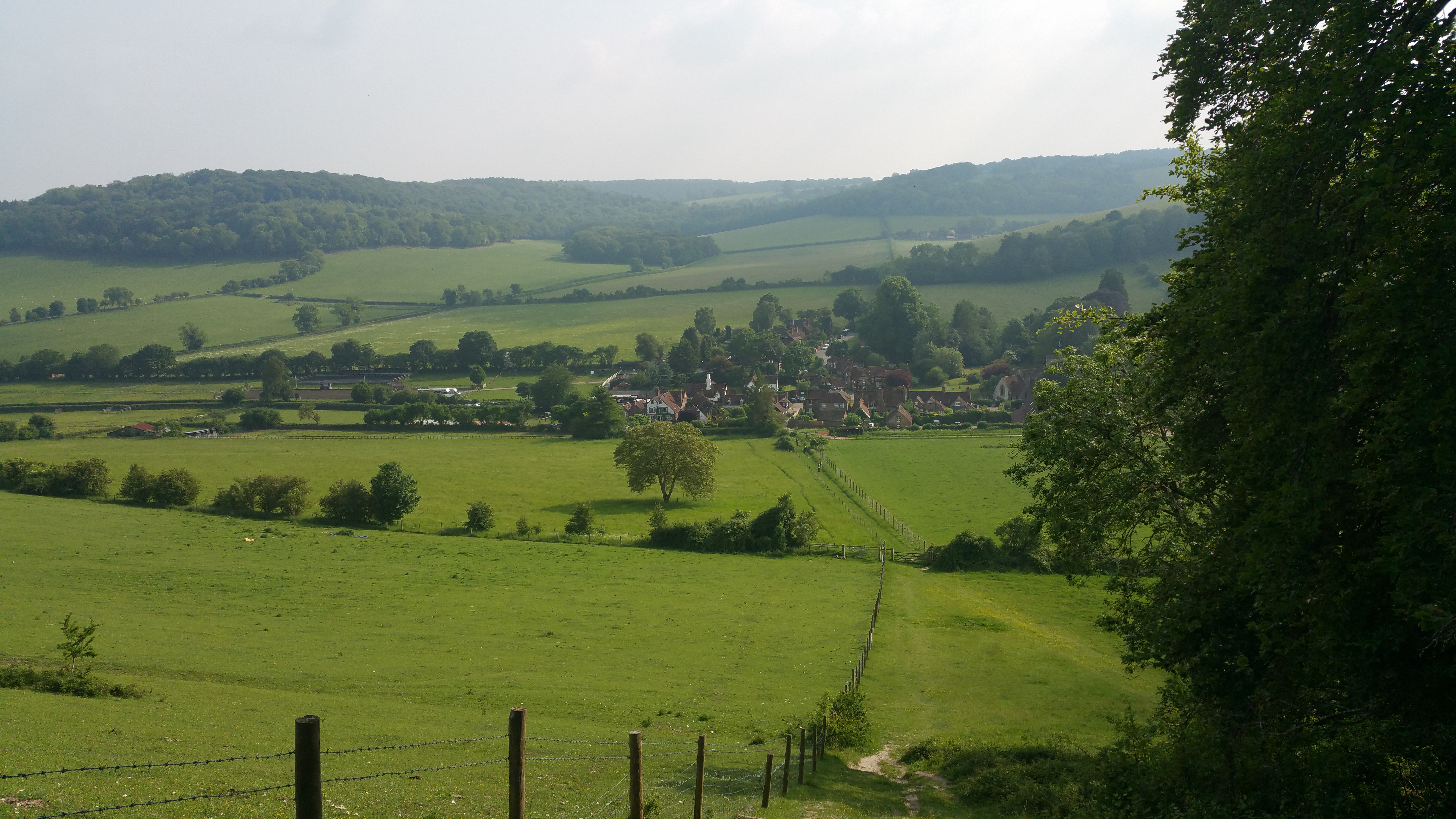
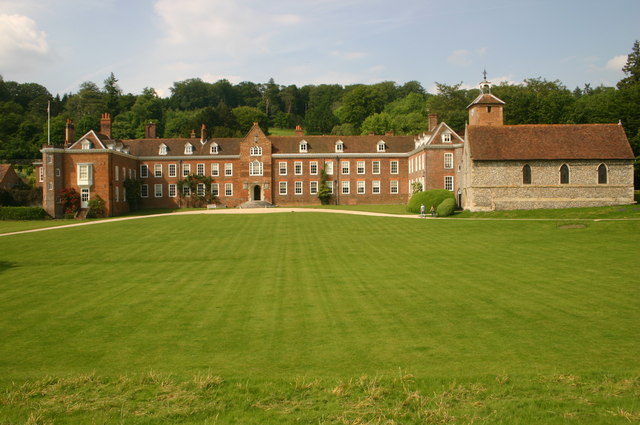
Dudley Shaw is a small village located in Buckinghamshire, England. Situated in the heart of the county, it is known for its abundant woodlands and picturesque forests. The village is named after Dudley Shaw, a renowned naturalist and conservationist who dedicated his life to the preservation of the local environment.

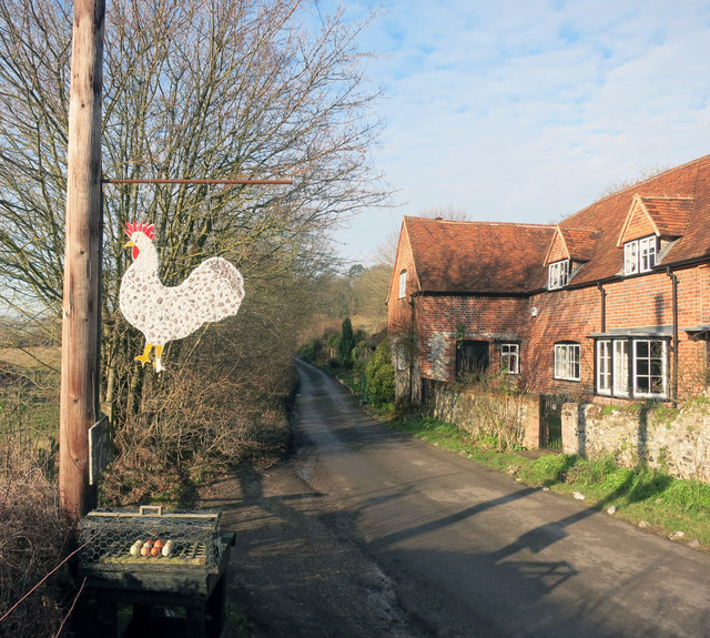
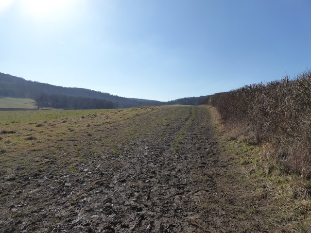
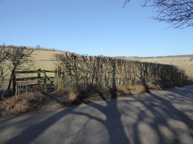
The woodlands in Dudley Shaw are a haven for nature enthusiasts and wildlife lovers. The forest landscape is dominated by tall, majestic trees, creating a serene and tranquil atmosphere. The area is home to a diverse range of flora and fauna, including rare species of birds, mammals, and insects. Many visitors come to Dudley Shaw to experience the beauty of the woodlands and to engage in activities such as birdwatching, hiking, and photography.

The village itself is small and peaceful, with a close-knit community. The houses in Dudley Shaw are charming and traditional, reflecting the area's rich history. The local residents take great pride in their village and actively participate in community events and initiatives.

Dudley Shaw is also known for its annual forest festival, which celebrates the natural beauty of the woodlands. The festival includes various activities and attractions, such as guided nature walks, storytelling sessions, and craft stalls showcasing locally made products.

Overall, Dudley Shaw, Buckinghamshire is a hidden gem for nature lovers, offering a unique and immersive experience in the heart of the woodlands.

If you have any feedback on the listing, please let us know in the comments section below.

Dudley Shaw Images

Images are sourced within 2km of 51.597353/-0.89714241 or Grid Reference SU7689. Thanks to Geograph Open Source API. All images are credited.

Footpath to Turville Court
The Frog, Skirmett, Buckinghamshire
A Chicken & Egg Situation Eggs for sale at Upper Goddards Farm
A Chicken & Egg Situation
Eggs for sale at Upper Goddards Farm
Skirmett Village Hall, Bucks Situated off Fingest Lane, this village hall was once a Congregational Chapel, but is now used for various functions by the people of the village. To the left of the photo can be seen a green box holding life saving emergency equipment. For SatNav purposes, its postcode is RG9 6TD.
Skirmett Village Hall, Bucks
Situated off Fingest Lane, this village hall was once a Congregational Chapel, but is now used for various functions by the people of the village. To the left of the photo can be seen a green box holding life saving emergency equipment. For SatNav purposes, its postcode is RG9 6TD.
Television Transmitting Station, Skirmett Situated by a path off Fingest Lane, this station, being 17 metres (55ft) in height, began transmitting television programmes to homes in the Hambleden Valley in July 1985, with digital transmissions following in April 2012. The horizontal aerial at the top of the wooden post is directed towards the main transmitter at Crystal Palace, TQ 3371 refers, from where the signals are relayed from. A green transmitter cabinet is adjacent to the wooden post whilst in the background can be seen Adam's Wood.
Television Transmitting Station, Skirmett
Situated by a path off Fingest Lane, this station, being 17 metres (55ft) in height, began transmitting television programmes to homes in the Hambleden Valley in July 1985, with digital transmissions following in April 2012. The horizontal aerial at the top of the wooden post is directed towards the main transmitter at Crystal Palace, TQ 3371 refers, from where the signals are relayed from. A green transmitter cabinet is adjacent to the wooden post whilst in the background can be seen Adam's Wood.
Notice on Television Transmitting Station, Skirmett This notice is fixed to the wooden post of the transmitting station off Fingest Lane. It says:
      ARQIVA 
     SITE SECURITY
 WARNING- This site is alarmed and may have one or more of the following security devices in places:
      CCTV
      Smoke Device
      Strobe Lighting
      Forensic Devices
      Rack Security

 In simple words, don't interfere with this television relay station which has been at this site since 1985. Incidentally, Arqiva is the company that looks after the radio and television transmitting stations in the United Kingdom.
Notice on Television Transmitting Station, Skirmett
This notice is fixed to the wooden post of the transmitting station off Fingest Lane. It says: ARQIVA SITE SECURITY WARNING- This site is alarmed and may have one or more of the following security devices in places: CCTV Smoke Device Strobe Lighting Forensic Devices Rack Security In simple words, don't interfere with this television relay station which has been at this site since 1985. Incidentally, Arqiva is the company that looks after the radio and television transmitting stations in the United Kingdom.
K6 Telephone Box in Skirmett Situated in Fingest Lane RG9 6TG, this red telephone box would appear to have been adopted by the local community, as it has according to BT, seen very little usage in recent years. BT have fixed a notice to this effect inside the telephone box. A small red post box can be seen to the right of the photo whilst the village noticeboard is between them.
K6 Telephone Box in Skirmett
Situated in Fingest Lane RG9 6TG, this red telephone box would appear to have been adopted by the local community, as it has according to BT, seen very little usage in recent years. BT have fixed a notice to this effect inside the telephone box. A small red post box can be seen to the right of the photo whilst the village noticeboard is between them.
K6 Telephone Box and Post Box in Turville Situated in the centre of Turville, the postcode being RG9 6QU, this red telephone box has a box containing emergency life-saving equipment. It replaced the payphone  which was latterly little used. To the left of the photo can be seen a red postbox on a black metal post whilst to the right is a notice referring to the Parish of Turville.
K6 Telephone Box and Post Box in Turville
Situated in the centre of Turville, the postcode being RG9 6QU, this red telephone box has a box containing emergency life-saving equipment. It replaced the payphone which was latterly little used. To the left of the photo can be seen a red postbox on a black metal post whilst to the right is a notice referring to the Parish of Turville.
Village scene in Turville, Bucks A horsewoman walks her charge past the lovely church here.
Village scene in Turville, Bucks
A horsewoman walks her charge past the lovely church here.
Interior of St Mary the Virgin at Turville Lovely church and well worth a visit.
Interior of St Mary the Virgin at Turville
Lovely church and well worth a visit.
Stone coffin inside St Mary the Virgin, Turville This coffin is thought to be 700 years old maybe, dating from around 1330 and was discovered under the church floor in building works conducted in the early 1900's. 

When opened it was found to contain two full skeletons and additional human bones. One was apparently a woman, dated to around 1600 and she had a hole in her skull. It is thought that she was added to the original male burial as the churchyard was full. The additional bones were possibly bones that had come to the surface at around the same time in what may well have been a very crowded graveyard. The original male burial is considered to have been a wealthy individual as the coffin was a considerable cost and the man was tall indicating high status, good diet, good health and good genes. 

Interesting stuff. And now here it sits shunted to one side and cluttered up with mugs, furniture and booklets.
Stone coffin inside St Mary the Virgin, Turville
This coffin is thought to be 700 years old maybe, dating from around 1330 and was discovered under the church floor in building works conducted in the early 1900's. When opened it was found to contain two full skeletons and additional human bones. One was apparently a woman, dated to around 1600 and she had a hole in her skull. It is thought that she was added to the original male burial as the churchyard was full. The additional bones were possibly bones that had come to the surface at around the same time in what may well have been a very crowded graveyard. The original male burial is considered to have been a wealthy individual as the coffin was a considerable cost and the man was tall indicating high status, good diet, good health and good genes. Interesting stuff. And now here it sits shunted to one side and cluttered up with mugs, furniture and booklets.
Scene in Turville village on a spring Sunday morning Visitors enjoy the scene in this most picturesque village with its church and cottages.
Scene in Turville village on a spring Sunday morning
Visitors enjoy the scene in this most picturesque village with its church and cottages.
Sleepy Cottage in Turville Well photographed cottage and road sign in lovely Turville.
Sleepy Cottage in Turville
Well photographed cottage and road sign in lovely Turville.
Woodland belt near Turville Managed by The Chiltern Society Small Woodlands Project based in Wendover 
<span class="nowrap"><a title="https://chilternsociety.org.uk/chiltern-woodlands-project/" rel="nofollow ugc noopener" href="https://chilternsociety.org.uk/chiltern-woodlands-project/">Link</a><img style="margin-left:2px;" alt="External link" title="External link - shift click to open in new window" src="https://s1.geograph.org.uk/img/external.png" width="10" height="10"/></span> here.
Woodland belt near Turville
Managed by The Chiltern Society Small Woodlands Project based in Wendover LinkExternal link here.
Field edge path near Turville Popular walking footpath.
Field edge path near Turville
Popular walking footpath.
Footpath and lane The path crosses the lane here.
Footpath and lane
The path crosses the lane here.
Gas installation near Turville Interesting bit of kit.
Gas installation near Turville
Interesting bit of kit.
Woodland path Contouring around the hill here.
Woodland path
Contouring around the hill here.
Show me another place!

Dudley Shaw is located at Grid Ref: SU7689 (Lat: 51.597353, Lng: -0.89714241)

Unitary Authority: Buckinghamshire

Police Authority: Thames Valley

What 3 Words

///badminton.darts.deep. Near Remenham, Berkshire

Related Wikis

Southend, Buckinghamshire

Southend is a hamlet, in the civil parish of Turville (where at the 2011 Census the population was included ) near to the village of the same name in Buckinghamshire...

Skirmett

Skirmett is a hamlet in the parish of Hambleden, in Buckinghamshire, England. It lies in the Hambleden Valley in the Chiltern Hills, between the villages...

Turville

Turville is a village and civil parish in Buckinghamshire, England. It is in the Chiltern Hills, 5 miles (8.0 km) west of High Wycombe, 6 miles (9.7 km...

St Mary the Virgin Church, Turville

The Church of St Mary the Virgin is a 12th century English church located in Turville, Buckinghamshire, England. == History == The church is first recorded...

Turville Hill

Turville Hill is a 22.4-hectare (55-acre) biological Site of Special Scientific Interest in Turville in Buckinghamshire. It is in the Chilterns Area of...

Stonor Park

Stonor Park is a historic country house and private deer park situated in a valley in the Chiltern Hills at Stonor, about four miles (6.4 km) north of...

Cobstone Windmill

Cobstone Mill was built around 1816 on Turville Hill in Buckinghamshire, England, and overlooks the village of Turville. It is a smock mill that replaced...

Fayland Chalk Bank

Fayland Chalk Bank is a 0.6-hectare (1.5-acre) Site of Special Scientific Interest in Parmoor, south of Lane End in Buckinghamshire. It is in the Chilterns...

Nearby Amenities

Located within 500m of 51.597353,-0.89714241
Old Luxters
Tourism: attraction
Lat/Long: 51.5949694/-0.892065
Power: pole
Source: Bing
Lat/Long: 51.5943359/-0.8931934
Power: pole
Source: Bing
Lat/Long: 51.5943126/-0.8946901
Power: pole
Source: Bing
Lat/Long: 51.594106/-0.8964523
Luxter Farm Private Airstrip
Aeroway: aerodrome
Lat/Long: 51.59597/-0.8928645
Turning Circle
Lat/Long: 51.5948735/-0.8928062
The data included in this document is from www.openstreetmap.org. The data is made available under ODbL.

Have you been to Dudley Shaw?

Leave your review of Dudley Shaw below (or comments, questions and feedback).