End, East
Settlement in Bedfordshire
England
End, East
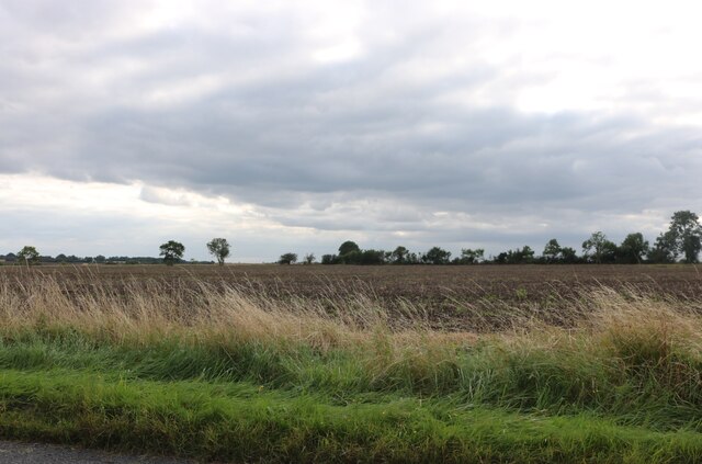
End, East is a small village located in the county of Bedfordshire, England. Situated on the eastern edge of the county, it is nestled amidst picturesque countryside and offers a peaceful and idyllic setting for its residents. The village is part of the Central Bedfordshire district and is surrounded by the stunning natural beauty of the East Bedfordshire Hills.
End, East is known for its rich history, with evidence of settlements dating back to the Roman times. The village has managed to retain much of its traditional charm, with a number of well-preserved historic buildings and landmarks. The local church, St. Mary's, is a notable architectural gem, featuring intricate detailing and a tranquil atmosphere.
Despite its small size, End, East boasts a welcoming community and a range of amenities that cater to the needs of its residents. These include a village hall, a local pub, and a primary school, providing essential services and fostering a strong sense of community spirit.
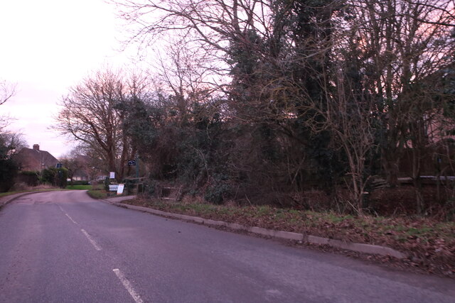
The village is also conveniently located near larger towns and cities, with easy access to transportation links. The nearby town of Bedford offers a wider range of amenities, including shopping centers, restaurants, and entertainment options. Additionally, the beautiful countryside surrounding End, East provides ample opportunities for outdoor activities such as hiking, cycling, and fishing.
Overall, End, East is a charming village that combines a rich history, natural beauty, and a close-knit community. It offers a peaceful and picturesque lifestyle, making it an attractive place to live for those seeking a tranquil retreat in the heart of the Bedfordshire countryside.
If you have any feedback on the listing, please let us know in the comments section below.
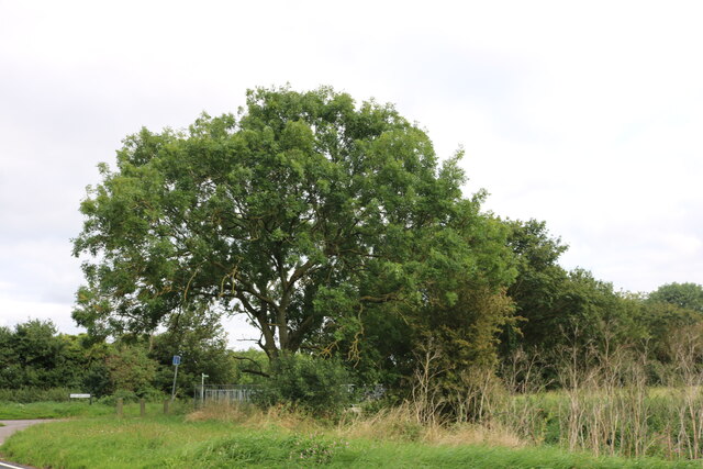
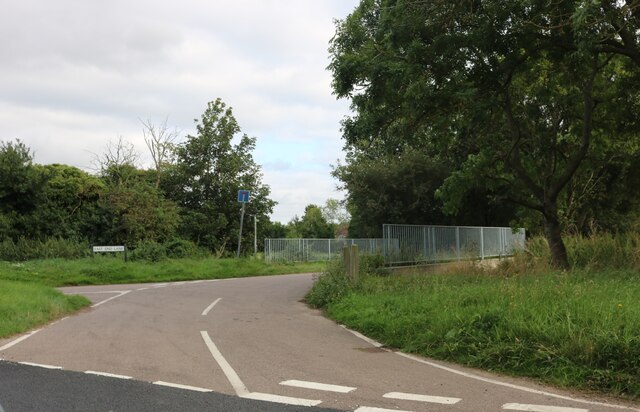
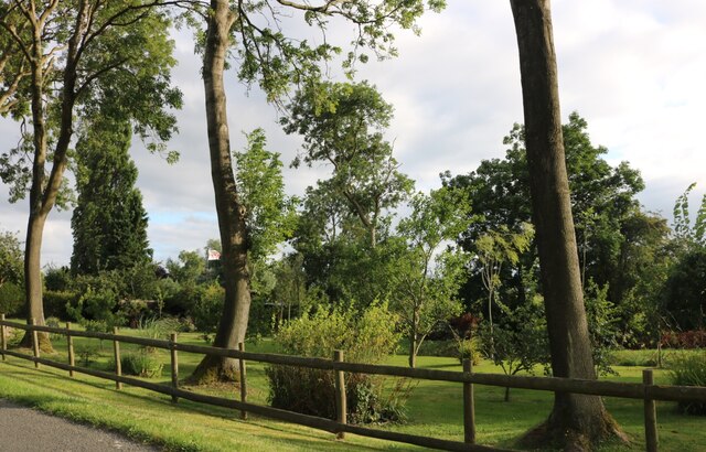
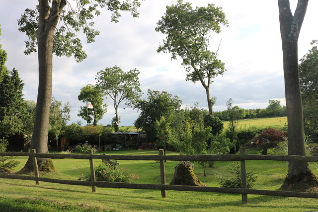
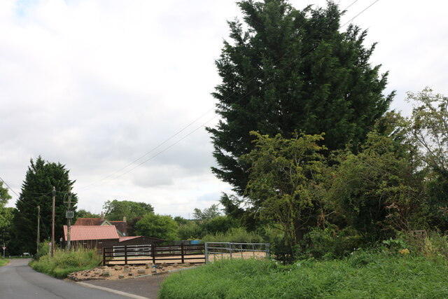
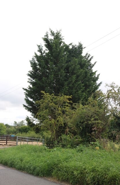
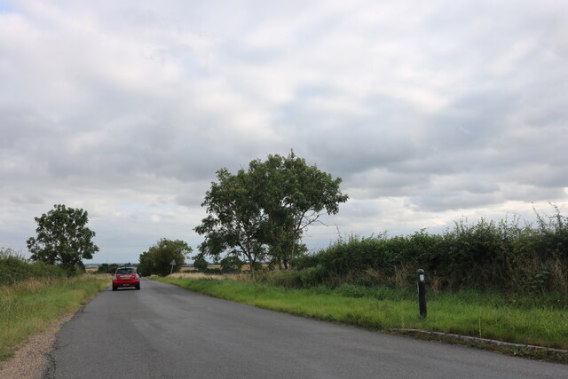
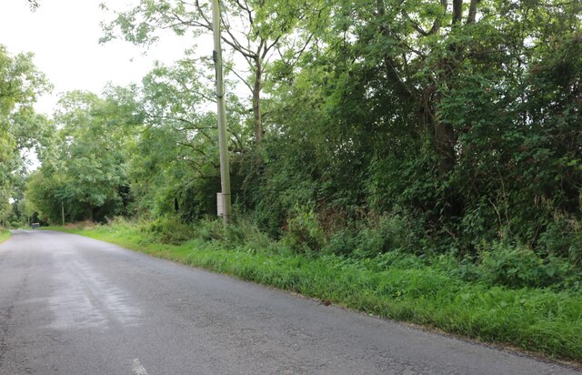
End, East Images
Images are sourced within 2km of 52.18392/-0.382964 or Grid Reference TL1055. Thanks to Geograph Open Source API. All images are credited.


End, East is located at Grid Ref: TL1055 (Lat: 52.18392, Lng: -0.382964)
Unitary Authority: Bedford
Police Authority: Bedfordshire
What 3 Words
///eats.closer.tweezers. Near Wilden, Bedfordshire
Related Wikis

Wilden, Bedfordshire
Wilden is a village and civil parish located in the Borough of Bedford in Bedfordshire, England. The population of 399 in the 2011 Census was estimated...

Church of St Nicholas, Wilden, Bedfordshire
Church of St Nicholas is the parish church of Wilden, Bedfordshire, England, in the Diocese of St Albans. It became a Grade I listed building on 13 July...
Duck's Cross
Duck's Cross is a hamlet located in the Borough of Bedford in Bedfordshire, England. The settlement forms part of Colmworth civil parish, though Duck's...
Colesden
Colesden is a small hamlet located in the English county of Bedfordshire. At the 2011 Census, the population of the hamlet was included in the civil parish...
Great Barford Castle
Great Barford Castle, later known as "Creakers Manor", was a Norman castle located in the village of Great Barford, in the county of Bedfordshire, England...
Renhold Chapel
Renhold Chapel is a Baptist chapel in the village of Renhold, Bedfordshire, England. == History == Prior to the chapel being built, the chapel meetings...
Renhold
Renhold is a village and civil parish located on the River Ouse, in the Borough of Bedford, Bedfordshire, England. The parish church is situated some 4...

All Saints' Church, Renhold
Church of All Saints is a Grade I listed church in Renhold, Bedfordshire, England. It became a listed building on 13 July 1964. == See also == Grade I...
Nearby Amenities
Located within 500m of 52.18392,-0.382964Have you been to End, East?
Leave your review of End, East below (or comments, questions and feedback).