Batty's Park
Wood, Forest in Sussex Chichester
England
Batty's Park

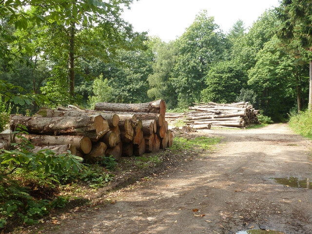
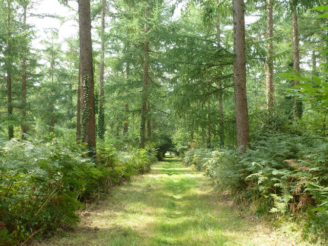
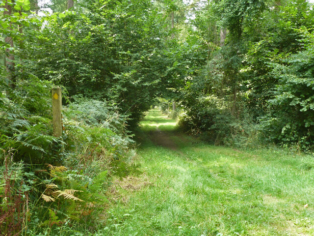
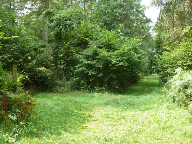
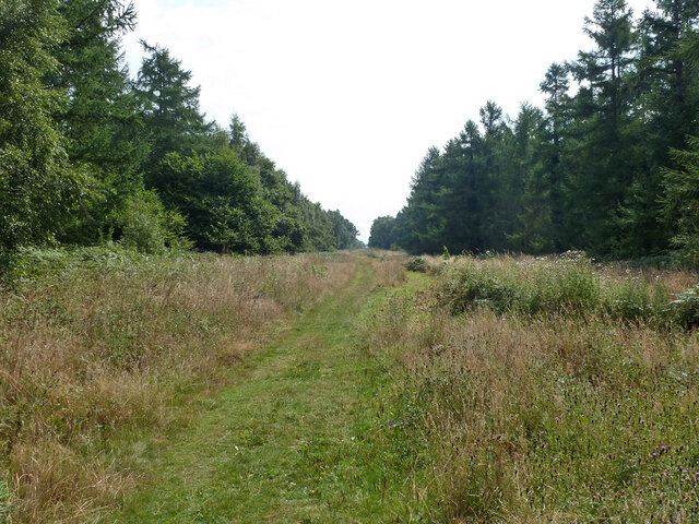
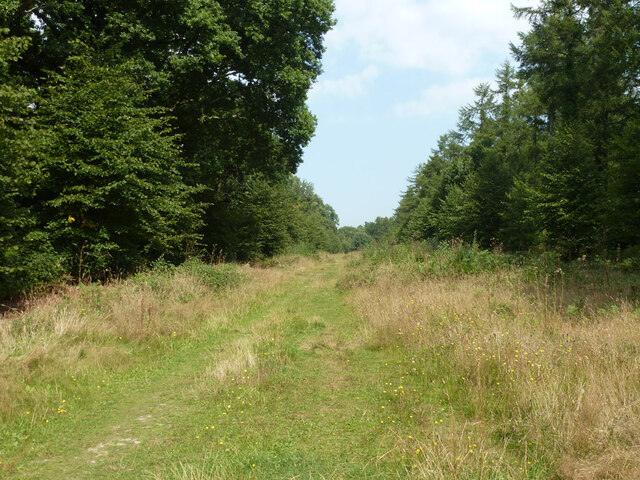
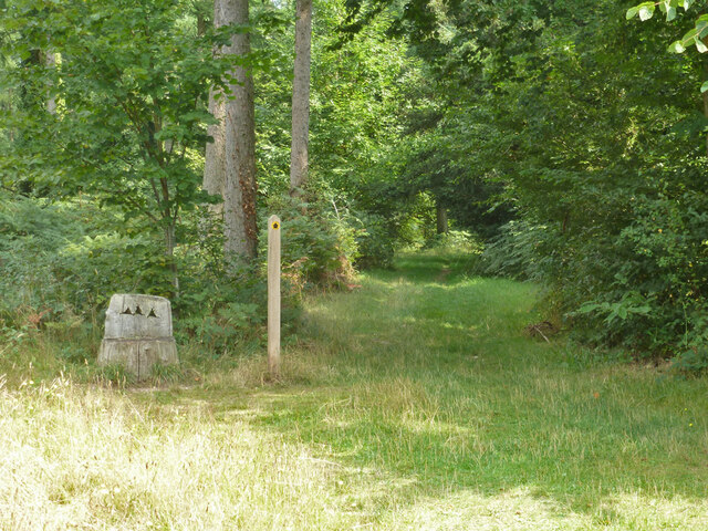
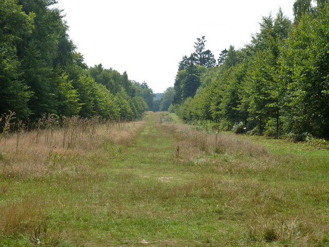
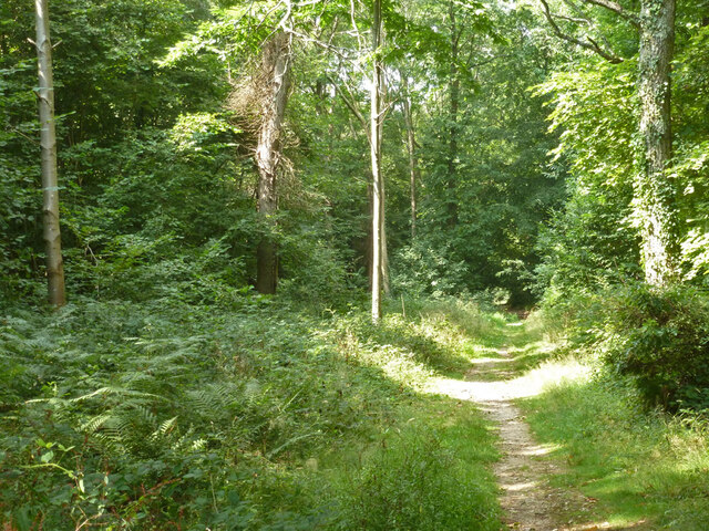
Batty's Park is a serene woodland area located in Sussex, England. Nestled amidst the picturesque countryside, this enchanting forest covers a vast expanse of approximately 100 acres. The park is known for its lush greenery, diverse vegetation, and abundant wildlife, making it a haven for nature enthusiasts and outdoor adventurers.
The woodland of Batty's Park boasts a varied landscape, featuring ancient trees, sprawling meadows, and meandering streams. The majestic oak, beech, and ash trees dominate the forest, providing a canopy of shade and lending an air of tranquility to the surroundings. Walking along the well-maintained trails, visitors can witness the ever-changing beauty of the woodland throughout the seasons, from the vibrant hues of autumn to the delicate blossoms of spring.
The park is home to a rich and diverse ecosystem. Wildlife enthusiasts can spot a plethora of animals in their natural habitat, including deer, foxes, badgers, and a wide array of bird species. The forest's secluded atmosphere and abundant food sources provide a safe haven for these creatures, making it a popular destination for birdwatching and wildlife photography.
Batty's Park offers a range of recreational activities for visitors to enjoy. There are designated picnic areas where families can relax and enjoy a leisurely lunch amidst the serene surroundings. The park also features several well-equipped playgrounds, making it an ideal destination for families with young children.
Overall, Batty's Park in Sussex is a hidden gem, offering a peaceful escape from the hustle and bustle of everyday life. Its natural beauty, diverse flora and fauna, and ample recreational opportunities make it a must-visit destination for nature lovers and those seeking a serene outdoor experience.
If you have any feedback on the listing, please let us know in the comments section below.
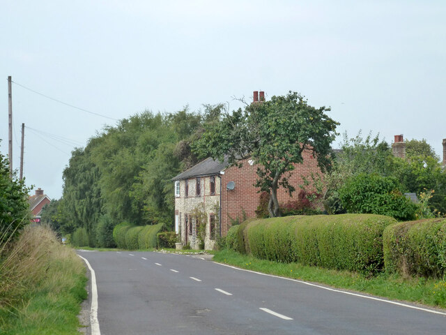
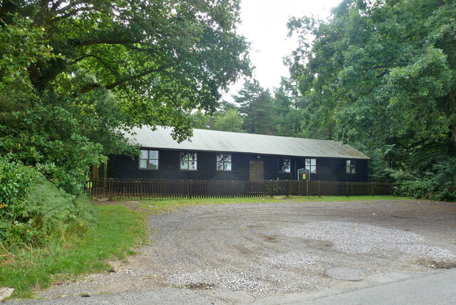
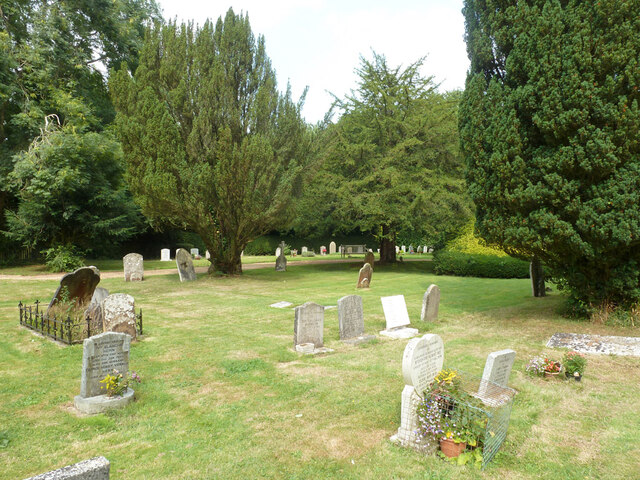
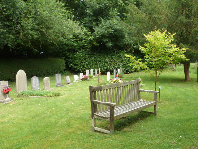
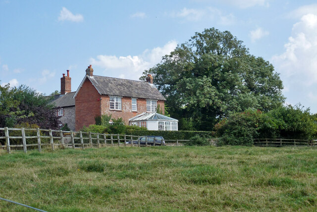
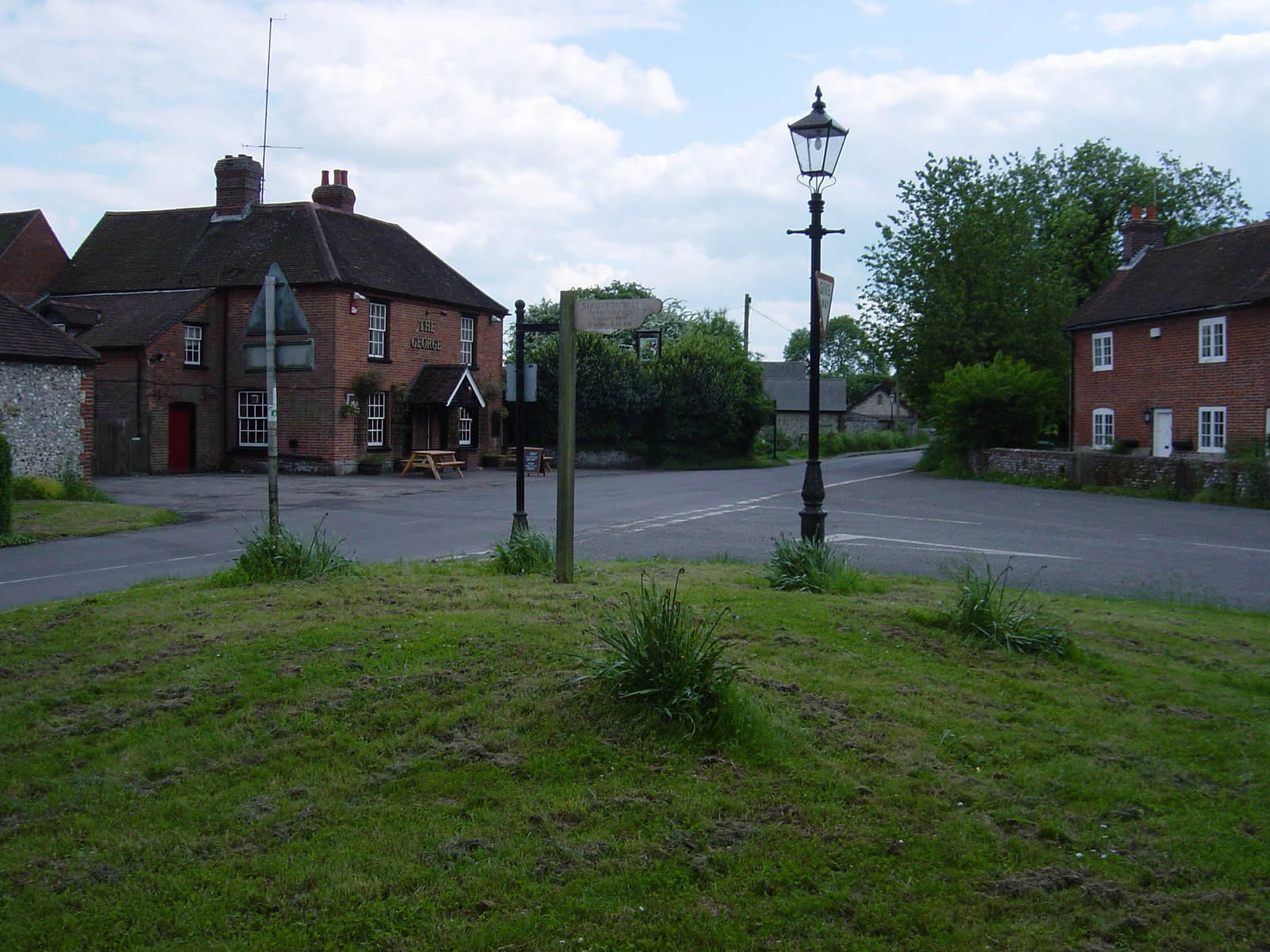
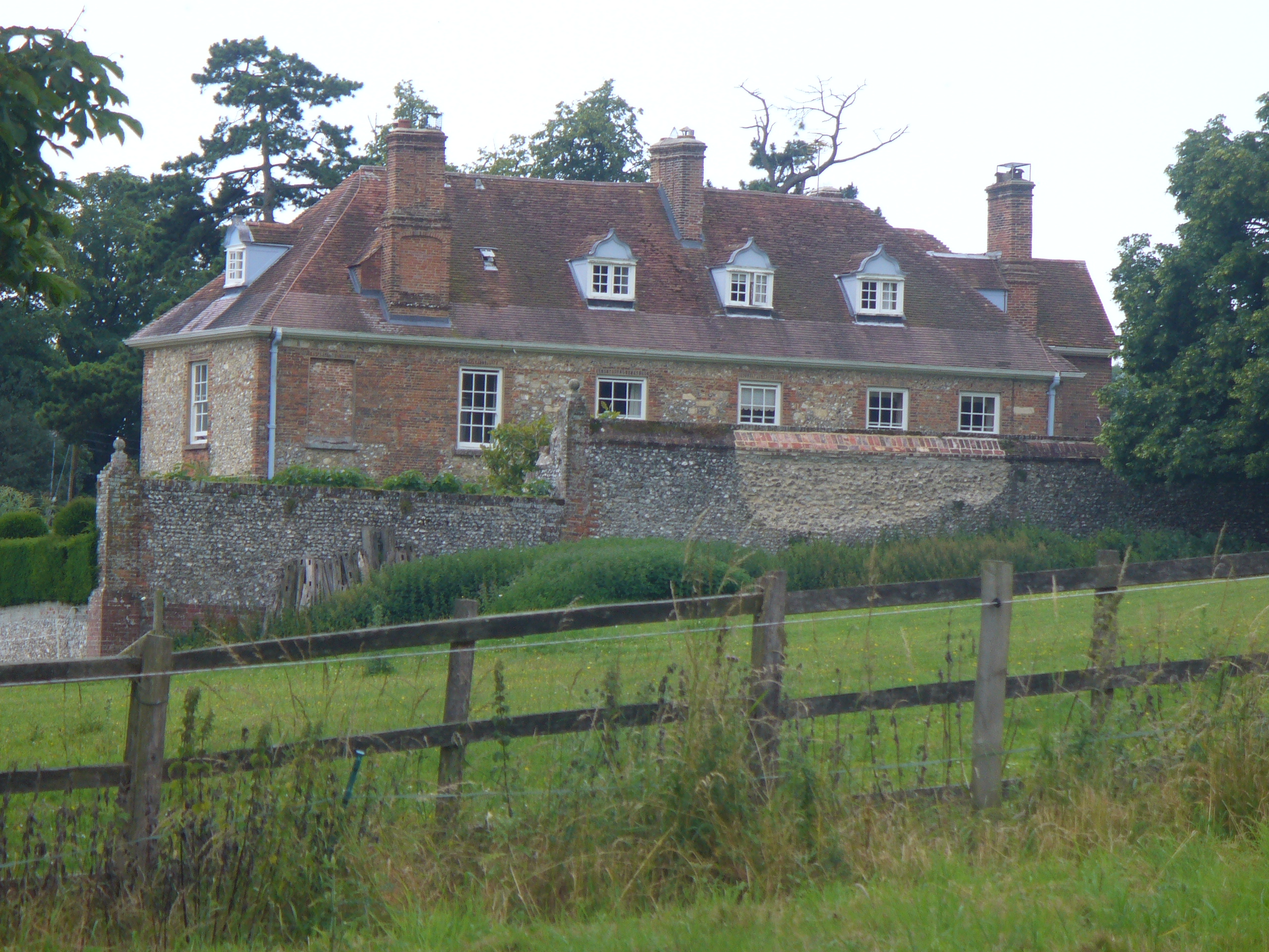
Batty's Park Images
Images are sourced within 2km of 50.900593/-0.91850227 or Grid Reference SU7611. Thanks to Geograph Open Source API. All images are credited.


Batty's Park is located at Grid Ref: SU7611 (Lat: 50.900593, Lng: -0.91850227)
Administrative County: West Sussex
District: Chichester
Police Authority: Sussex
What 3 Words
///safely.awkward.frail. Near Emsworth, Hampshire
Nearby Locations
Related Wikis

Stansted Park
Stansted Park (including Stansted House) is an Edwardian country house in the parish of Stoughton, West Sussex, England. It is near the city of Chichester...

West Marden
West Marden is a hamlet in the Chichester district of West Sussex, England. It lies on the B2146 road 5 miles (8.2 km) north of Emsworth. It is in the...
Finchdean
Finchdean is a rural hamlet in the East Hampshire district of Hampshire, England. It lies on the Hampshire/West Sussex border, 1.7 miles (2.7 km) east...

Racton Monument
Racton Monument (known locally as Racton Ruin) is a folly on a hill in Racton, West Sussex, England with views over Chichester Harbour and to the Isle...
Lordington House
Lordington House is a manor house near Walderton in West Sussex. It is a Grade II* listed building. == History == Lordington House was built around 1500...

Rowlands Castle railway station
Rowlands Castle railway station serves the village of Rowland's Castle, Hampshire, England. It is located on the Portsmouth Direct Line, 63 miles 18 chains...

Rowland's Castle
Rowland's Castle is a village and civil parish in the East Hampshire district of Hampshire, England. It is 2.9 miles (4.7 km) north of Havant, on the Hampshire/West...

Walderton
Walderton is a hamlet in the Chichester district of West Sussex, England. It lies on the B2146 road 4 miles (6.4 km) northeast of Emsworth. It is in the...
Nearby Amenities
Located within 500m of 50.900593,-0.91850227Have you been to Batty's Park?
Leave your review of Batty's Park below (or comments, questions and feedback).