Orange Grove

Wood, Forest in Sussex Chichester

England

Orange Grove

Forestside and Stansted Village Hall Near the church, across the road.
Forestside and Stansted Village Hall Credit: Robin Webster

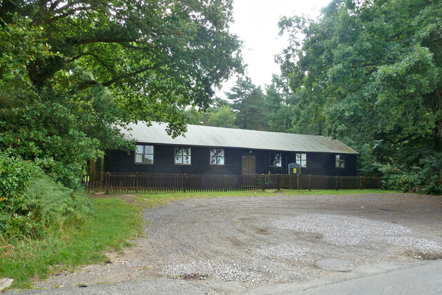
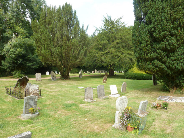
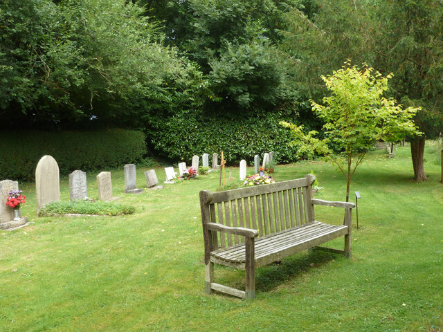
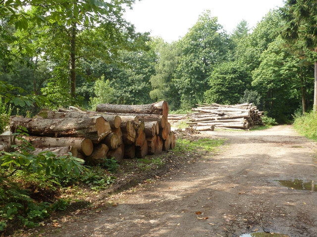
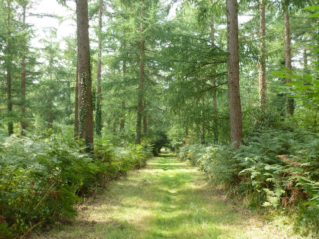
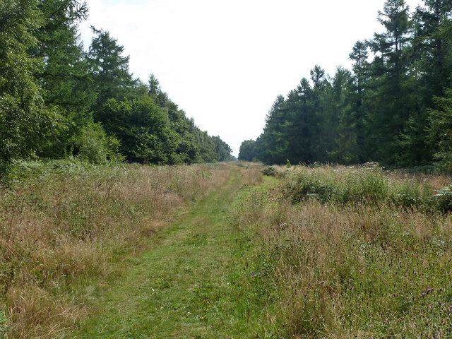
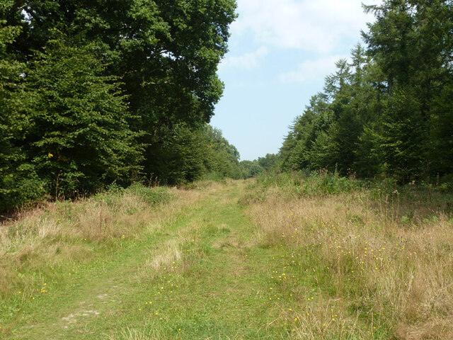
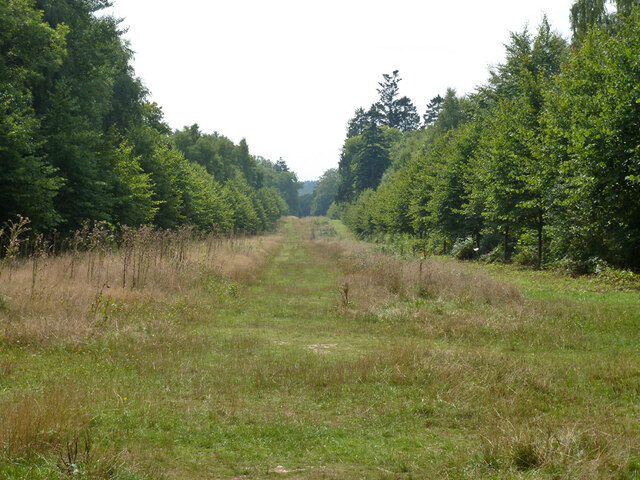
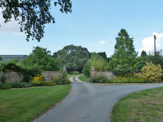
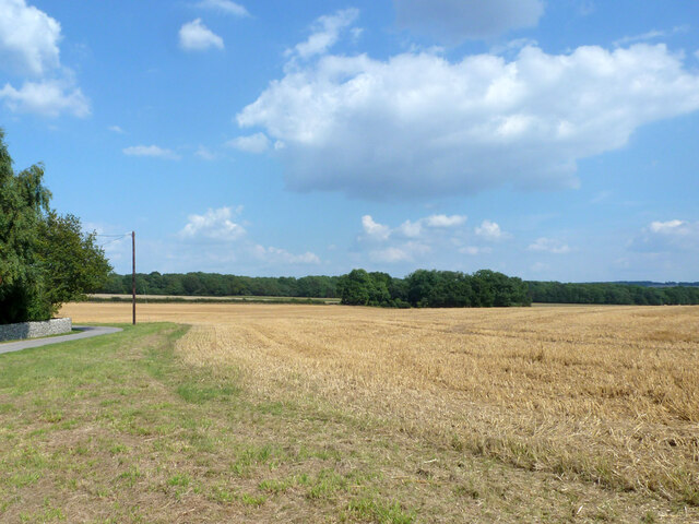
Orange Grove is a picturesque woodland area located in Sussex, England. Situated within the larger Sussex Forest, this particular grove is renowned for its vibrant orange-colored trees that dominate the landscape, hence its name. The grove covers an expansive area, spreading across several hectares of land.

The trees in Orange Grove are predominantly oak and beech, which provide a magnificent display of vibrant autumnal colors during the months of September and October. The leaves of the trees turn a vivid shade of orange, creating a breathtaking scene that attracts visitors from near and far.

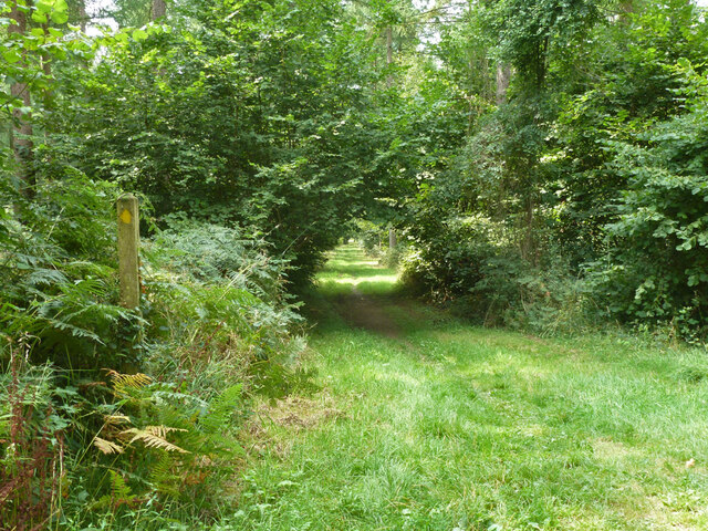
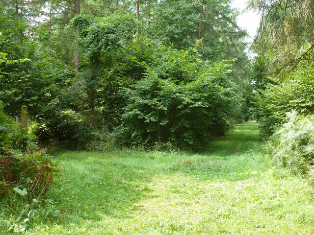
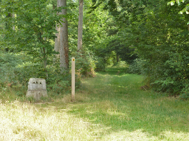
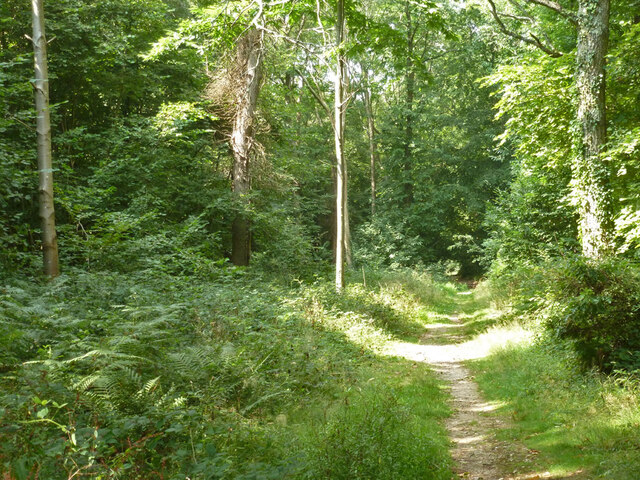
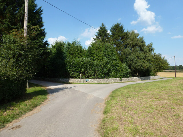
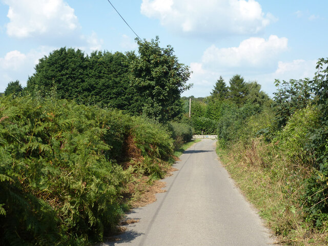
The grove is crisscrossed by numerous walking trails, allowing visitors to explore and immerse themselves in the natural beauty of the area. These trails meander through the woodland, providing glimpses of wildlife such as deer, squirrels, and a variety of bird species that call Orange Grove their home.

In addition to its natural beauty, Orange Grove has historical significance as well. It is believed to have been a popular hunting ground for nobility during the medieval period. The remains of an ancient hunting lodge can still be seen in the grove, adding to its charm and allure.

Orange Grove is a popular destination for nature lovers, photographers, and those seeking tranquility amidst the beauty of the natural world. With its stunning orange-hued trees, diverse wildlife, and historical remnants, this woodland area in Sussex offers a delightful and enriching experience for all who visit.

If you have any feedback on the listing, please let us know in the comments section below.
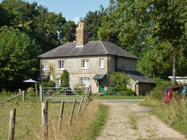
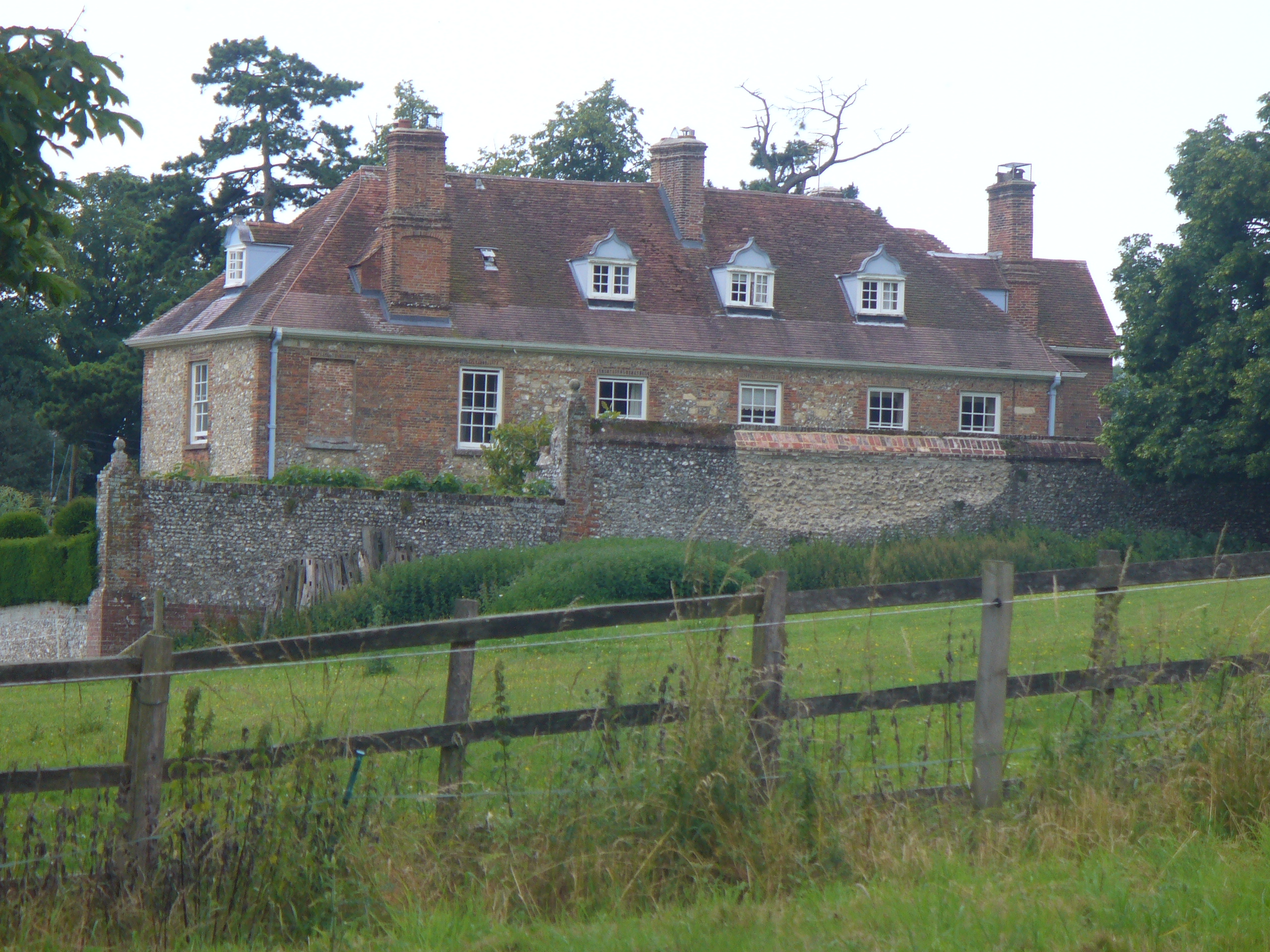
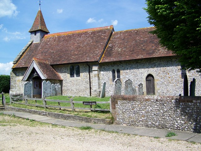
Orange Grove Images

Images are sourced within 2km of 50.889021/-0.91962326 or Grid Reference SU7610. Thanks to Geograph Open Source API. All images are credited.

Forestside and Stansted Village Hall Near the church, across the road.
Forestside and Stansted Village Hall
Near the church, across the road.
Graveyard, Forestside
Stacked timber, Stansted Forest By public footpath 524.
Stacked timber, Stansted Forest
By public footpath 524.
Footpath 521 in Stansted Forest Towards Rowland's Castle.
Footpath 521 in Stansted Forest
Towards Rowland's Castle.
Footpath 521 in Stansted Forest Towards Rowland's Castle.
Footpath 521 in Stansted Forest
Towards Rowland's Castle.
Ride in Stansted Forest At a six-way junction, public footpath 521 passes from right to left.
Ride in Stansted Forest
At a six-way junction, public footpath 521 passes from right to left.
Ride, Stansted Forest Viewed from the public footpath which crosses the ride. The ride is a permissive footpath.
Ride, Stansted Forest
Viewed from the public footpath which crosses the ride. The ride is a permissive footpath.
Ladies' Ride, Stansted Forest Looking north.
Ladies' Ride, Stansted Forest
Looking north.
Public footpath 521, Stansted Forest
Ladies' Ride, Stansted Forest Looking south.
Ladies' Ride, Stansted Forest
Looking south.
Path, Stansted Forest
Entrance to Broadreed Farmhouse
Estate road by Broadreed Farm Also public rights-of-way - bridleway 503 on the main road. and signed here, but not on the mapped route at first, footpath 539 left through Broadreed Farm.
Estate road by Broadreed Farm
Also public rights-of-way - bridleway 503 on the main road. and signed here, but not on the mapped route at first, footpath 539 left through Broadreed Farm.
Harvested field east of Broadreed Farm
Estate road towards Broadreed Farm Also public bridleway 503.
Estate road towards Broadreed Farm
Also public bridleway 503.
Park Gate Cottages On the Stansted Estate.
Park Gate Cottages
On the Stansted Estate.
Timber stack by bridleway 503_2
Show me another place!

Orange Grove is located at Grid Ref: SU7610 (Lat: 50.889021, Lng: -0.91962326)

Administrative County: West Sussex

District: Chichester

Police Authority: Sussex

What 3 Words

///pump.imparts.mermaids. Near Emsworth, Hampshire

Related Wikis

Stansted Park

Stansted Park (including Stansted House) is an Edwardian country house in the parish of Stoughton, West Sussex, England. It is near the city of Chichester...

Racton Monument

Racton Monument (known locally as Racton Ruin) is a folly on a hill in Racton, West Sussex, England with views over Chichester Harbour and to the Isle...

Lordington House

Lordington House is a manor house near Walderton in West Sussex. It is a Grade II* listed building. == History == Lordington House was built around 1500...

Racton

Racton is a hamlet in the Chichester district of West Sussex, England. It lies on the B2147 road 2.1 miles (3.4 km) northeast of Emsworth and within the...

Rowlands Castle railway station

Rowlands Castle railway station serves the village of Rowland's Castle, Hampshire, England. It is located on the Portsmouth Direct Line, 63 miles 18 chains...

Hollybank House, Emsworth

Hollybank House near Emsworth in Hampshire, England, is a building of historical significance and is Grade II listed on the English Heritage Register....

Rowland's Castle

Rowland's Castle is a village and civil parish in the East Hampshire district of Hampshire, England. It is 2.9 miles (4.7 km) north of Havant, on the Hampshire/West...

Walderton

Walderton is a hamlet in the Chichester district of West Sussex, England. It lies on the B2146 road 4 miles (6.4 km) northeast of Emsworth. It is in the...

Nearby Amenities

Located within 500m of 50.889021,-0.91962326
Stansted Farm Shop
Addr City: Stansted
Addr Place: Rowlands Castle
Addr Postcode: PO9 6DX
Fhrs Authority: Chichester
Fhrs Id: 1221481
Fhrs Local Authority Id: 20/00022/FOOD
Opening Hours: Mo-Su 10:00-17:00
Phone: +44 2392 413 576
Shop: convenience
Source: the local Postcode Publications newspaper advert for this farm shop
Website: https://stanstedfarmshop.com/
Lat/Long: 50.8850296/-0.9217431
Bicycle Parking
Bicycle Parking: wall_loops
Capacity: 16
Covered: no
Lat/Long: 50.8850225/-0.9222253
Defibrillator
Access: permissive
Defibrillator Location: AW97 Stansted Park Garden Centre
Emergency: defibrillator
Emergency Phone: 999
Indoor: no
Ref GB The Circuit: 9BCB5FA6-9090-4207-99AC-AD260107FC6D
Lat/Long: 50.8851889/-0.9222242
Access: customers
Leisure: playground
Source: survey
Lat/Long: 50.8853275/-0.9210516
Barrier: entrance
Lat/Long: 50.885645/-0.9216862
Entrance: main
Lat/Long: 50.8857376/-0.9215303
Entrance: main
Lat/Long: 50.8852236/-0.9225577
Barrier: entrance
Lat/Long: 50.8850913/-0.9216739
Barrier: entrance
Lat/Long: 50.8851384/-0.921632
Barrier: entrance
Lat/Long: 50.8854219/-0.921705
Barrier: yes
Lat/Long: 50.8852996/-0.9229705
Crossing
Lat/Long: 50.8856193/-0.923666
Barrier: swing_gate
Locked: no
Material: steel
Lat/Long: 50.8930779/-0.9200811
Access: permissive
Drinking Water: yes
Man Made: water_tap
Lat/Long: 50.8900176/-0.9182849
The data included in this document is from www.openstreetmap.org. The data is made available under ODbL.

Have you been to Orange Grove?

Leave your review of Orange Grove below (or comments, questions and feedback).