Cornbrooks Hanger

Wood, Forest in Hampshire East Hampshire

England

Cornbrooks Hanger

Farmland, Selborne A footpath to the north-east of Priory Farm passes through the gate and fields of long grass.
Farmland, Selborne Credit: Andrew Smith

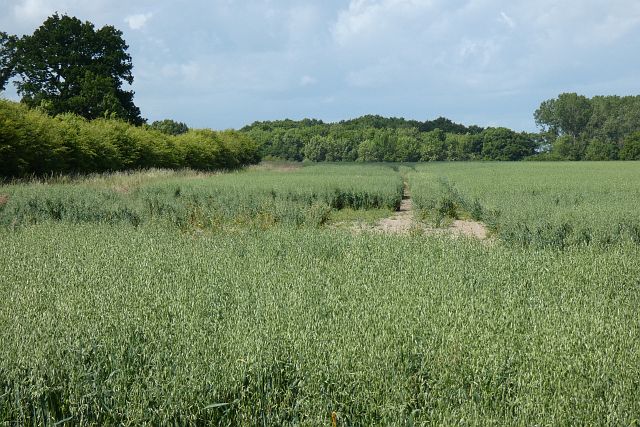
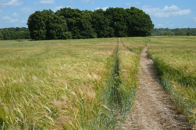
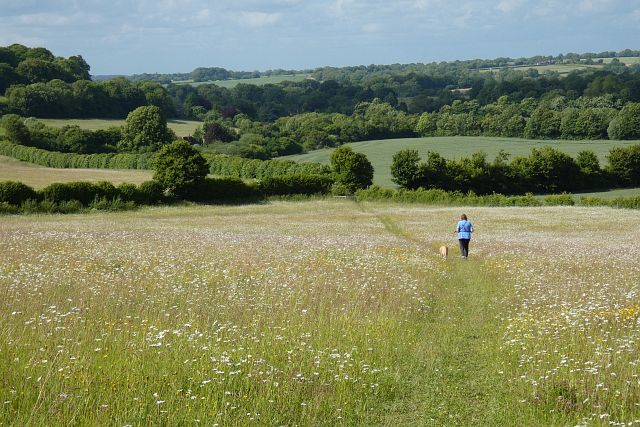
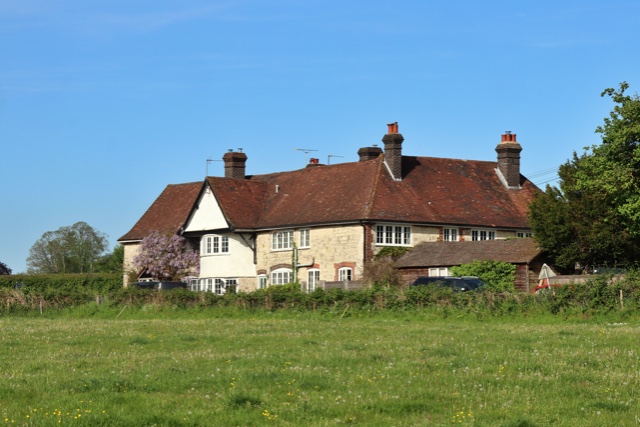
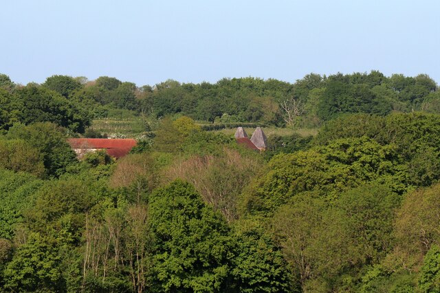
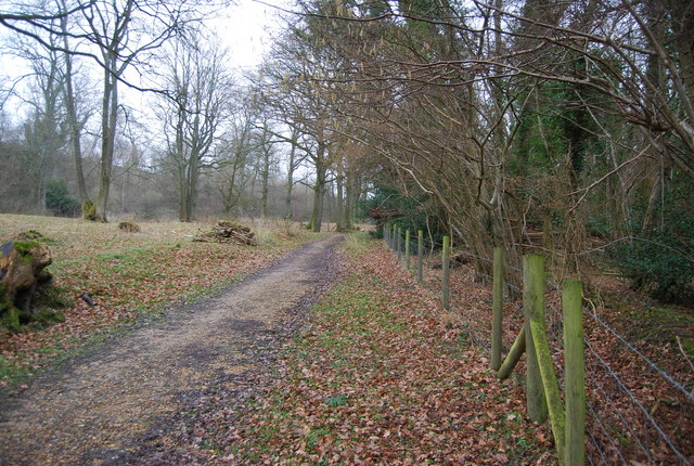
Cornbrooks Hanger is a picturesque woodland area located in Hampshire, England. Situated in the heart of the county, this hanger is part of the larger South Downs National Park. The hanger is known for its dense forest, lush greenery, and a variety of wildlife.

Covering an area of approximately 200 acres, Cornbrooks Hanger is predominantly composed of ancient woodlands, with some areas of younger growth. The woodland is characterized by its mix of broadleaf trees, including oak, beech, and birch, which create a diverse and vibrant landscape throughout the year.

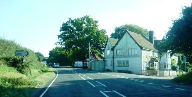
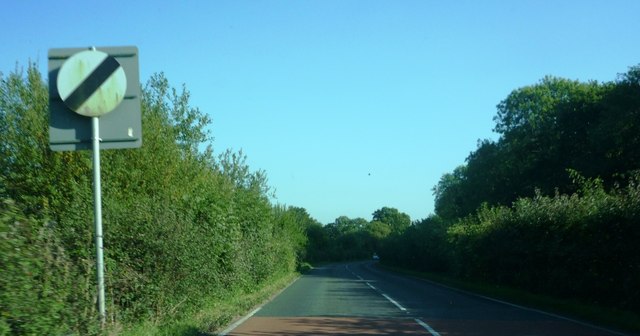
The hanger is a popular destination for nature enthusiasts, hikers, and birdwatchers alike. Its network of well-maintained footpaths and trails allows visitors to explore the area and discover its natural beauty. The woodlands are home to various bird species, such as the great spotted woodpecker, tawny owl, and chiffchaff, making it a haven for birdwatching enthusiasts. Other wildlife, including foxes, deer, and squirrels, can also be spotted within the hanger.

In addition to its natural beauty, Cornbrooks Hanger also has historical significance. The woodland has been used for centuries for timber production and has evidence of charcoal burning pits, highlighting its importance in the local economy in the past.

Overall, Cornbrooks Hanger offers visitors a tranquil and idyllic setting to escape the hustle and bustle of everyday life. Its rich biodiversity and historical significance make it a cherished natural treasure in Hampshire.

If you have any feedback on the listing, please let us know in the comments section below.

Cornbrooks Hanger Images

Images are sourced within 2km of 51.089745/-0.91676751 or Grid Reference SU7532. Thanks to Geograph Open Source API. All images are credited.

Farmland, Selborne A footpath to the north-east of Priory Farm passes through the gate and fields of long grass.
Farmland, Selborne
A footpath to the north-east of Priory Farm passes through the gate and fields of long grass.
Farmland, Selborne The footpath at Albury Farm crosses a field of oats.
Farmland, Selborne
The footpath at Albury Farm crosses a field of oats.
Farmland, Selborne A crop of oats to the north of Sotherington Lane.
Farmland, Selborne
A crop of oats to the north of Sotherington Lane.
Farmland, Selborne A footpath approaches Snap Wood and drops down through a crop of winter barley to the west of Brockbridge Farm.
Farmland, Selborne
A footpath approaches Snap Wood and drops down through a crop of winter barley to the west of Brockbridge Farm.
Farmland, Selborne The footpath heading south from Brockbridge Farm through oats.
Farmland, Selborne
The footpath heading south from Brockbridge Farm through oats.
Farmland, Selborne A crop of wheat to the west of Bradshott Hall.
Farmland, Selborne
A crop of wheat to the west of Bradshott Hall.
Grassland, Hawkley Descending through a flowery meadow, the footpath connecting Noar Hill and Selborne.
Grassland, Hawkley
Descending through a flowery meadow, the footpath connecting Noar Hill and Selborne.
Oast House Twin round kiln oast house.
Oast House
Twin round kiln oast house.
B3006 at Empshott Junction of B3006 with minor road to Empshott Green
B3006 at Empshott
Junction of B3006 with minor road to Empshott Green
Speed limit change at edge of Empshott village Taken travelling southbound on the B3006
Speed limit change at edge of Empshott village
Taken travelling southbound on the B3006
2016: a year on Geograph (Day 189) Alas, The Queens
Another one bites the dust!
2016: a year on Geograph (Day 189)
Alas, The Queens Another one bites the dust!
Path towards Short Lythe
Path through Long Lythe
Holy Rood, Empshott: family memorial
Holy Rood, Empshott: memorial to a general's daughter Also see <span class="nowrap"><a title="https://en.wikipedia.org/wiki/Lord_William_Seymour_(British_Army_officer)" rel="nofollow ugc noopener" href="https://en.wikipedia.org/wiki/Lord_William_Seymour_(British_Army_officer)">Link</a><img style="margin-left:2px;" alt="External link" title="External link - shift click to open in new window" src="https://s1.geograph.org.uk/img/external.png" width="10" height="10"/></span>
Holy Rood, Empshott: memorial to a general's daughter
Also see LinkExternal link
Holy Rood, Empshott: war memorial
Holy Rood, Empshott:  memorial on the organ
Holy Rood, Empshott: memorial on the organ
Show me another place!

Cornbrooks Hanger is located at Grid Ref: SU7532 (Lat: 51.089745, Lng: -0.91676751)

Administrative County: Hampshire

District: East Hampshire

Police Authority: Hampshire

What 3 Words

///reflector.testers.brothers. Near Bordon, Hampshire

Related Wikis

Selborne Priory

Selborne Priory was a priory of Augustinian canons in Selborne, Hampshire, England. == Foundation == The priory was founded in 1233 by Peter des Roches...

Empshott

Empshott is a village and former civil parish, now in the parish of Hawkley, in the East Hampshire district of Hampshire, England. It lies 3.5 miles (5...

Selborne

Selborne is a village in Hampshire, England, 3.9 miles (6.3 km) south of Alton, and just within the northern boundary of the South Downs National Park...

Noar Hill

Noar Hill is a 63-hectare (160-acre) biological Site of Special Scientific Interest south of Selborne in Hampshire. It is a Nature Conservation Review...

Plestor House, Selborne

Plestor House is a house in the centre of Selborne, Hampshire, England. The house is named for its location — adjacent to the village's plestor. Architecturally...

Coombe Wood and The Lythe

Coombe Wood and The Lythe is a 44-hectare (110-acre) biological Site of Special Scientific Interest west of Bordon in Hampshire. It is part of East Hampshire...

St Mary's Church, Selborne

The Church of St Mary is an Anglican church in the village of Selborne, Hampshire, England. It is in the Diocese of Winchester. The building is Grade I...

Blackmoor, Hampshire

Blackmoor is a village in the East Hampshire district of Hampshire, England. It lies about 1.5 miles (2.5 km) southwest of Bordon, just west of the A325...

Nearby Amenities

Located within 500m of 51.089745,-0.91676751
Barrier: stile
Lat/Long: 51.0869154/-0.9171393
Barrier: kissing_gate
Lat/Long: 51.0858614/-0.9165415
Barrier: stile
Lat/Long: 51.0872909/-0.9171242
Barrier: stile
Lat/Long: 51.0880358/-0.9177837
Barrier: stile
Lat/Long: 51.0885449/-0.9180874
Barrier: stile
Lat/Long: 51.0914888/-0.9190951
Barrier: stile
Lat/Long: 51.0907441/-0.9101277
Burhunt Hanger
Natural: wood
Source: Bing
Lat/Long: 51.0879154/-0.9202068
Cornbrooks Hanger
Place: locality
Source: Bing
Lat/Long: 51.0900915/-0.9159121
Homefield Hanger
Natural: wood
Source: Bing
Lat/Long: 51.0857904/-0.9163594
Lane Hanger
Natural: wood
Source: Bing
Lat/Long: 51.0867571/-0.9186967
Lower Temple Cottage
Place: isolated_dwelling
Source: Bing
Lat/Long: 51.0922201/-0.9136117
Lower Temple
Place: locality
Source: Bing
Lat/Long: 51.0916392/-0.9149881
Smoky House
Place: isolated_dwelling
Source: Bing
Lat/Long: 51.0906972/-0.910882
Temple Yard
Place: farm
Source: Bing
Lat/Long: 51.0937202/-0.9142529
The data included in this document is from www.openstreetmap.org. The data is made available under ODbL.

Have you been to Cornbrooks Hanger?

Leave your review of Cornbrooks Hanger below (or comments, questions and feedback).