Lowerbarn Copse

Wood, Forest in Hampshire East Hampshire

England

Lowerbarn Copse

Speed limit change at edge of Empshott village Taken travelling southbound on the B3006
Speed limit change at edge of Empshott village Credit: Clint Mann

Lowerbarn Copse is a picturesque woodland located in Hampshire, England. Situated near the village of Lowerbarn, the copse covers an area of approximately 50 acres. It is known for its diverse range of tree species and rich flora and fauna, making it a popular destination for nature enthusiasts and hikers alike.

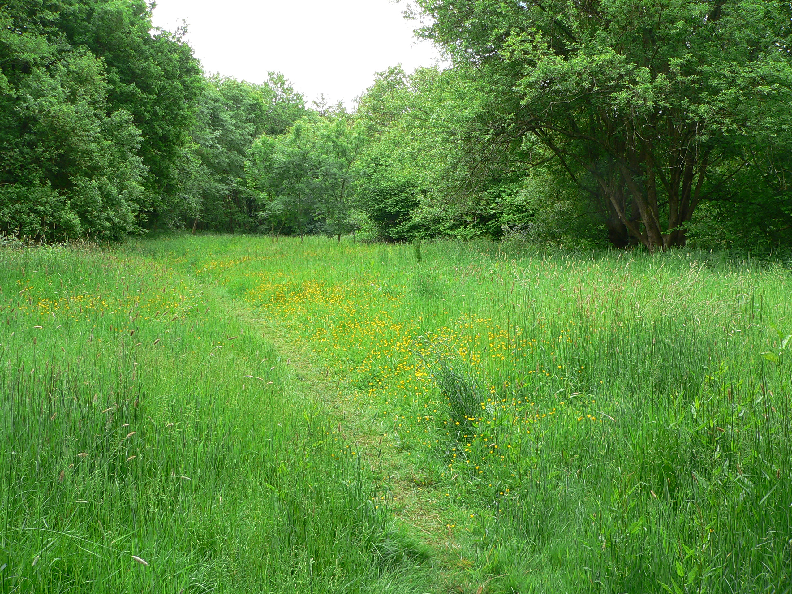
The copse is primarily composed of broadleaf trees, including oak, beech, and birch. These trees create a dense canopy, providing shade and shelter for a variety of wildlife. The forest floor is covered with a vibrant carpet of bluebells, primroses, and ferns during the springtime, adding to its natural beauty.

Lowerbarn Copse is home to a myriad of animal species, including deer, foxes, badgers, and a variety of bird species such as woodpeckers and owls. The copse provides a vital habitat for these creatures, offering a safe haven and an abundant food source. Birdwatchers can often spot rare species nesting in the tall trees or flying overhead.

The copse is crisscrossed with a network of well-maintained footpaths, allowing visitors to explore its scenic beauty. These paths lead to a small stream that meanders through the woodland, enhancing the tranquil atmosphere of the copse.

Lowerbarn Copse is a designated Site of Special Scientific Interest (SSSI) due to its ecological importance. It is carefully managed by local conservation organizations to preserve its unique ecosystem and protect its inhabitants.

Overall, Lowerbarn Copse is a haven of natural beauty, offering visitors a chance to immerse themselves in the serenity of a woodland environment and discover the wonders of Hampshire's countryside.

If you have any feedback on the listing, please let us know in the comments section below.

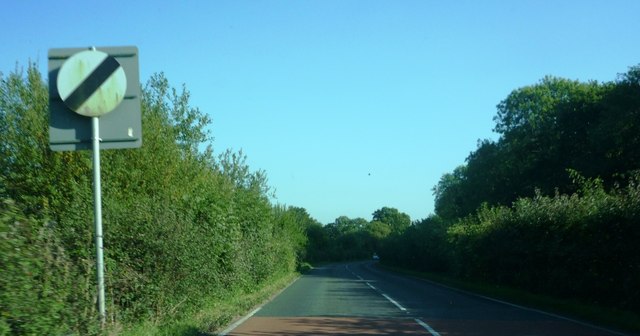
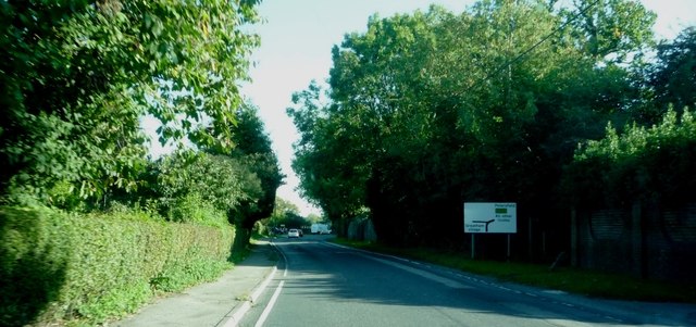
Lowerbarn Copse Images

Images are sourced within 2km of 51.060518/-0.91756375 or Grid Reference SU7529. Thanks to Geograph Open Source API. All images are credited.

Speed limit change at edge of Empshott village Taken travelling southbound on the B3006
Speed limit change at edge of Empshott village
Taken travelling southbound on the B3006
Approaching road junction at Greatham village On the B3006
Approaching road junction at Greatham village
On the B3006
2016: a year on Geograph (Day 166) Remains of the old church at Greatham
2016: a year on Geograph (Day 166)
Remains of the old church at Greatham
Holy Rood, Empshott: family memorial
Holy Rood, Empshott: memorial to a general's daughter Also see <span class="nowrap"><a title="https://en.wikipedia.org/wiki/Lord_William_Seymour_(British_Army_officer)" rel="nofollow ugc noopener" href="https://en.wikipedia.org/wiki/Lord_William_Seymour_(British_Army_officer)">Link</a><img style="margin-left:2px;" alt="External link" title="External link - shift click to open in new window" src="https://s1.geograph.org.uk/img/external.png" width="10" height="10"/></span>
Holy Rood, Empshott: memorial to a general's daughter
Also see LinkExternal link
Holy Rood, Empshott: war memorial
Holy Rood, Empshott:  memorial on the organ
Holy Rood, Empshott: memorial on the organ
Holy Rood, Empshott:  memorial to a churchwarden
Holy Rood, Empshott: memorial to a churchwarden
Holy Rood, Empshott:  The Ten Commandments (i to iv)
Holy Rood, Empshott: The Ten Commandments (i to iv)
Holy Rood, Empshott:  The  Ten Commandments (v to x)
Holy Rood, Empshott: The Ten Commandments (v to x)
Holy Rood, Empshott:  memorial to a sapper Also see <span class="nowrap"><a title="http://www.cwgc.org/find-war-dead/casualty/719992/BURTON,%20FRANK" rel="nofollow ugc noopener" href="http://www.cwgc.org/find-war-dead/casualty/719992/BURTON,%20FRANK">Link</a><img style="margin-left:2px;" alt="External link" title="External link - shift click to open in new window" src="https://s1.geograph.org.uk/img/external.png" width="10" height="10"/></span>
Holy Rood, Empshott: memorial to a sapper
Also see LinkExternal link
Holy Rood, Empshott:  memorial to a North Devonian
Holy Rood, Empshott: memorial to a North Devonian
Holy Rood, Empshott:  memorial to a Major Also see <span class="nowrap"><a title="http://www.cwgc.org/find-war-dead/casualty/322923/JOHNSTONE,%20JAMES%20HENRY%20WALLER" rel="nofollow ugc noopener" href="http://www.cwgc.org/find-war-dead/casualty/322923/JOHNSTONE,%20JAMES%20HENRY%20WALLER">Link</a><img style="margin-left:2px;" alt="External link" title="External link - shift click to open in new window" src="https://s1.geograph.org.uk/img/external.png" width="10" height="10"/></span>
Holy Rood, Empshott: memorial to a Major
Also see LinkExternal link
Holy Rood, Empshott:  memorial to a vicar's mother Harnett's father was Falkiner Minchin Harnett, who was District Inspector of the Royal Irish Constabulary at Cashel, County Tipperary, Ireland. He was educated at the University of Durham and ordained in 1903. He came to Empshott in 1915 after curacies at Oldswinford, Southampton and Bournemouth. He married Caroline Elise Blunt, daughter of Maj.-Gen. Grant Blunt and Rachel Eliza Pile, on 2 September 1919. In 1924 he left to become Vicar of Hatherden
Holy Rood, Empshott: memorial to a vicar's mother
Harnett's father was Falkiner Minchin Harnett, who was District Inspector of the Royal Irish Constabulary at Cashel, County Tipperary, Ireland. He was educated at the University of Durham and ordained in 1903. He came to Empshott in 1915 after curacies at Oldswinford, Southampton and Bournemouth. He married Caroline Elise Blunt, daughter of Maj.-Gen. Grant Blunt and Rachel Eliza Pile, on 2 September 1919. In 1924 he left to become Vicar of Hatherden
Holy Rood, Empshott:  memorial to a nineteenth century incumbent The only thing I could find out was that he died while travelling by train to London (Carlisle Patriot Cumbria, England 19 February 1897)
Holy Rood, Empshott: memorial to a nineteenth century incumbent
The only thing I could find out was that he died while travelling by train to London (Carlisle Patriot Cumbria, England 19 February 1897)
Holy Rood, Empshott:  memorial to an eldest son Also see <span class="nowrap"><a title="http://www.thepeerage.com/p57300.htm#i572999" rel="nofollow ugc noopener" href="http://www.thepeerage.com/p57300.htm#i572999">Link</a><img style="margin-left:2px;" alt="External link" title="External link - shift click to open in new window" src="https://s1.geograph.org.uk/img/external.png" width="10" height="10"/></span>
Holy Rood, Empshott: memorial to an eldest son
Also see LinkExternal link
Was he the "Model of a modern Major-General"? Taken in the churchyard at Holy Rood, Empshott
On the other side is an inscription for his sister, Elizabeth Down Snow
Was he the "Model of a modern Major-General"?
Taken in the churchyard at Holy Rood, Empshott On the other side is an inscription for his sister, Elizabeth Down Snow
Holy Rood, Empshott:  memorial to an admiral For more about Admiral Edwards see <span class="nowrap"><a title="https://en.wikipedia.org/wiki/Ralph_Edwards_(Royal_Navy_officer)" rel="nofollow ugc noopener" href="https://en.wikipedia.org/wiki/Ralph_Edwards_(Royal_Navy_officer)">Link</a><img style="margin-left:2px;" alt="External link" title="External link - shift click to open in new window" src="https://s1.geograph.org.uk/img/external.png" width="10" height="10"/></span>
Holy Rood, Empshott: memorial to an admiral
For more about Admiral Edwards see LinkExternal link
Show me another place!

Lowerbarn Copse is located at Grid Ref: SU7529 (Lat: 51.060518, Lng: -0.91756375)

Administrative County: Hampshire

District: East Hampshire

Police Authority: Hampshire

What 3 Words

///prospered.flicks.protest. Near Liss, Hampshire

Related Wikis

Upper Greensand Hangers: Empshott to Hawkley

Upper Greensand Hangers: Empshott to Hawkley is a 37.7-hectare (93-acre) biological Site of Special Scientific Interest north of Petersfield in Hampshire...

Hawkley

Hawkley is a village, ecclesiastical parish and civil parish in the East Hampshire district of Hampshire, England. It is 3.5 miles (5.7 km) north of Petersfield...

Plestor House, Liss

Plestor House is a Grade II listed building in the village of Liss, Hampshire, only a few miles from Selborne. The house has served a variety of purposes...

Empshott

Empshott is a village and former civil parish, now in the parish of Hawkley, in the East Hampshire district of Hampshire, England. It lies 3.5 miles (5...

Greatham, Hampshire

Greatham ( GRET-əm) is a village and civil parish in the East Hampshire district of Hampshire, England. It is 1.9 miles (3.1 km) north of Liss, just off...

Liss Riverside Railway Walk North

Liss Riverside Railway Walk North is a 6.9-hectare (17-acre) Local Nature Reserve which runs north from Liss in Hampshire. It is owned and managed by...

Liss Forest Road railway station

Liss Forest Road railway station served the hamlet of Liss Forest neighbouring the larger village of Liss, in Hampshire. It is situated adjacent to Forest...

Liss Forest

Liss Forest is a hamlet neighbouring the larger village of Liss, in Hampshire, England. It formerly had its own railway station on the now closed Longmoor...

Nearby Amenities

Located within 500m of 51.060518,-0.91756375
Created By: osmeditor2
Lat/Long: 51.0606458/-0.923
Created By: osmeditor2
Lat/Long: 51.0612396/-0.9225625
Created By: osmeditor2
Lat/Long: 51.0615208/-0.9215625
Created By: osmeditor2
Lat/Long: 51.062177/-0.9210625
Created By: osmeditor2
Lat/Long: 51.0628646/-0.9207188
Created By: osmeditor2
Lat/Long: 51.063802/-0.9193125
Post Box
Collection Plate: CP7
Collection Times: Mo-Fr 17:15; Sa 09:00
Operator: Royal Mail
Post Box Type: lamp
Ref: GU33 53
Royal Cypher: GVIR
Royal Cypher Wikidata: Q33102169
Lat/Long: 51.0580451/-0.9232599
Hollowell Copse
Natural: wood
Lat/Long: 51.0646667/-0.9196492
The Slip
Natural: wood
Lat/Long: 51.0602416/-0.9227493
Farewell Hanger
Ele: 160
Place: locality
Lat/Long: 51.0626029/-0.9221041
Park Lands Farm
Place: farm
Lat/Long: 51.061098/-0.9125981
Primmers
Place: isolated_dwelling
Lat/Long: 51.057802/-0.9139953
The data included in this document is from www.openstreetmap.org. The data is made available under ODbL.

Have you been to Lowerbarn Copse?

Leave your review of Lowerbarn Copse below (or comments, questions and feedback).