Allerthorpe Woods
Wood, Forest in Yorkshire
England
Allerthorpe Woods
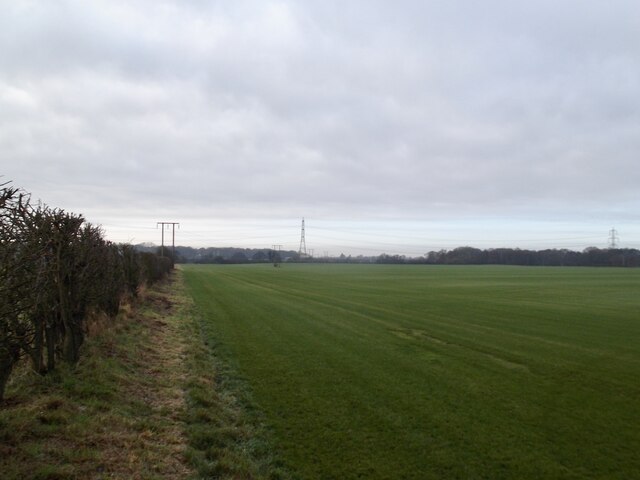
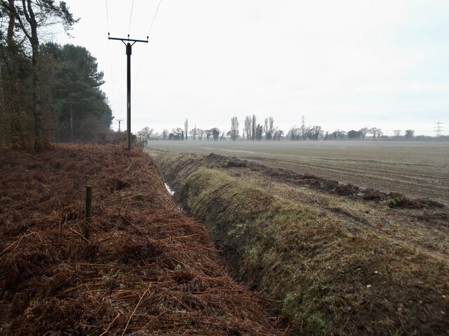
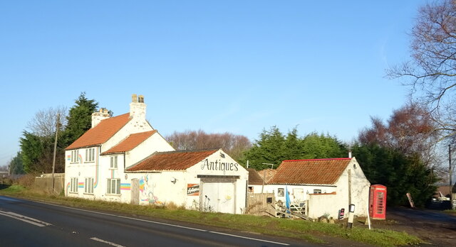
Allerthorpe Woods is a picturesque woodland located in the East Riding of Yorkshire, England. The woods cover an area of approximately 100 acres and are situated near the village of Allerthorpe, just a few miles from the market town of Pocklington.
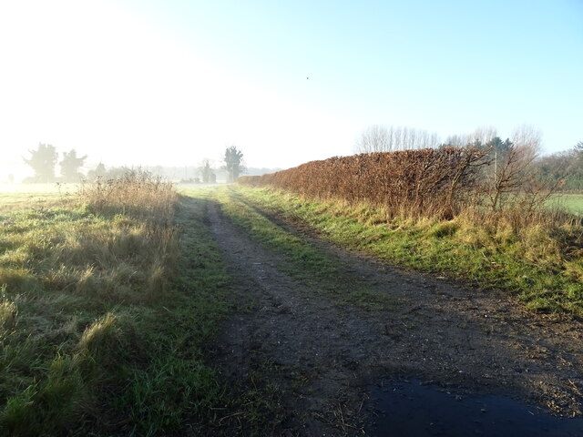
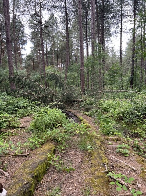
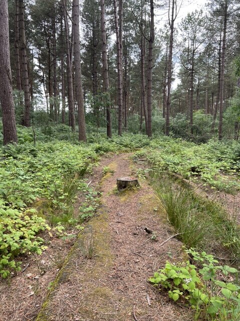
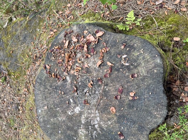
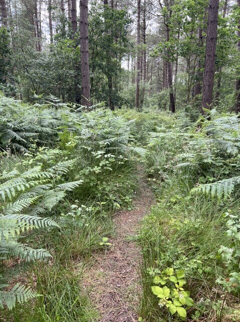
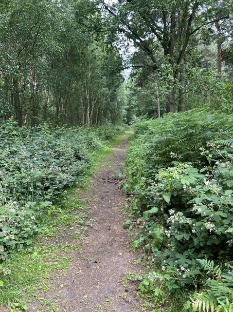
This ancient woodland is known for its diverse range of plant and animal species, making it a popular destination for nature enthusiasts and wildlife photographers. The woods are predominantly composed of oak and birch trees, with a rich undergrowth of bluebells, wild garlic, and ferns during the spring and summer months. Additionally, there are several small ponds and streams that add to the natural beauty of the area.
Allerthorpe Woods offers a network of well-maintained walking trails, providing visitors with the opportunity to explore the woodland at their own pace. The paths are suitable for both leisurely strolls and more vigorous hikes, with options for all abilities. Along the way, visitors may encounter various wildlife species, including deer, squirrels, foxes, and a wide array of bird species.
The woods are also home to a number of wooden sculptures and artistic installations, adding an element of intrigue and charm to the natural surroundings. These sculptures, created by local artists, can be found scattered throughout the woodland, creating a unique and immersive experience for visitors.
Overall, Allerthorpe Woods offers a tranquil and enchanting escape from the hustle and bustle of everyday life, providing a sanctuary for both nature lovers and those seeking a peaceful retreat.
If you have any feedback on the listing, please let us know in the comments section below.
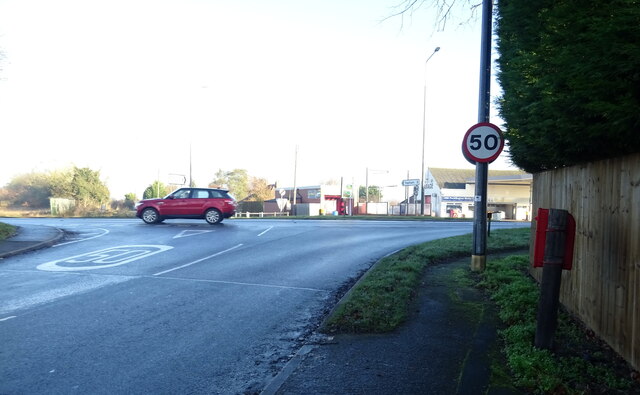
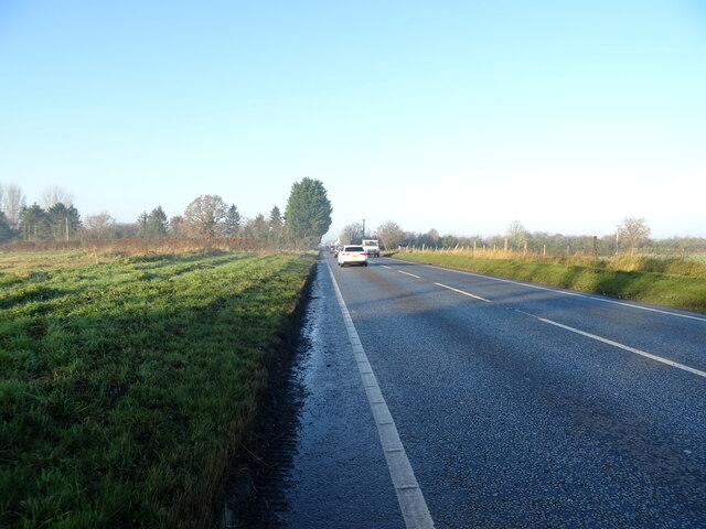
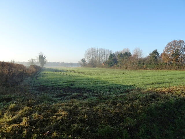
Allerthorpe Woods Images
Images are sourced within 2km of 53.919093/-0.84703655 or Grid Reference SE7547. Thanks to Geograph Open Source API. All images are credited.


Allerthorpe Woods is located at Grid Ref: SE7547 (Lat: 53.919093, Lng: -0.84703655)
Division: East Riding
Unitary Authority: East Riding of Yorkshire
Police Authority: Humberside
What 3 Words
///disband.trailing.rephrase. Near Thornton, East Yorkshire
Nearby Locations
Related Wikis

Allerthorpe Common
Allerthorpe Common is a Site of Special Scientific Interest (SSSI) and nature reserve in the East Riding of Yorkshire, England. It is located close to...

Waplington
Waplington is a hamlet in the East Riding of Yorkshire, England. It is situated approximately 2 miles (3.2 km) south-west of the market town of Pocklington...

Barmby Moor
Barmby Moor is a village and civil parish in the East Riding of Yorkshire, England. It is situated approximately 1.5 miles (2.4 km) west of the market...
Thornton, East Riding of Yorkshire
Thornton is a village and civil parish in the East Riding of Yorkshire, England. It is situated approximately 3.5 miles (5.6 km) south-west of the town...

Allerthorpe
Allerthorpe is a village and civil parish in the East Riding of Yorkshire, England. It is situated approximately 1.5 miles (2.4 km) south-west from the...
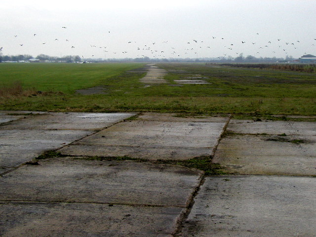
RAF Pocklington
Royal Air Force Pocklington or more simply RAF Pocklington was an operational flying station of the Royal Air Force during the Second World War, forming...

Yapham Gate railway station
Yapham Gate railway station was a station on the York to Beverley Line in the East Riding of Yorkshire, England. It opened on 4 October 1847 and served...

Melbourne, East Riding of Yorkshire
Melbourne is a village and civil parish in the East Riding of Yorkshire, England. It is situated approximately 8 miles (13 km) west of the market town...
Nearby Amenities
Located within 500m of 53.919093,-0.84703655Have you been to Allerthorpe Woods?
Leave your review of Allerthorpe Woods below (or comments, questions and feedback).