Birch Holt
Wood, Forest in Nottinghamshire Rushcliffe
England
Birch Holt

Birch Holt is a small village located in the county of Nottinghamshire, England. Situated amidst a picturesque woodland area, it is renowned for its natural beauty and abundant forest cover. The village is nestled in the heart of Sherwood Forest, a world-famous forest that spans over 1,000 acres and is known for its association with the legendary outlaw Robin Hood.
Birch Holt is characterized by its stunning landscape, with tall birch trees dominating the forested area. The foliage in this region is particularly vibrant, especially during the autumn season when the leaves turn shades of gold and crimson, creating a breathtaking sight for visitors and residents alike.
The village itself is small and quaint, with a close-knit community that takes pride in preserving the natural environment. The main focal point of the village is the historic Birch Holt Manor, a grand stately home that dates back to the 17th century. The manor is surrounded by beautifully manicured gardens, adding to the charm of the area.
For nature enthusiasts, Birch Holt offers numerous opportunities for outdoor activities such as hiking, cycling, and wildlife spotting. The forest is home to a diverse range of flora and fauna, including rare species of birds and mammals. Visitors can explore the forest trails, discovering hidden lakes, ancient oak trees, and secluded picnic spots.
Birch Holt is a peaceful retreat away from the hustle and bustle of urban life, offering residents and visitors a chance to immerse themselves in the tranquility of nature while enjoying the rich history and natural wonders that the area has to offer.
If you have any feedback on the listing, please let us know in the comments section below.
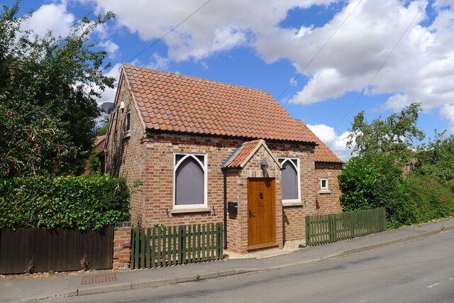
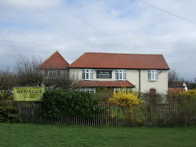
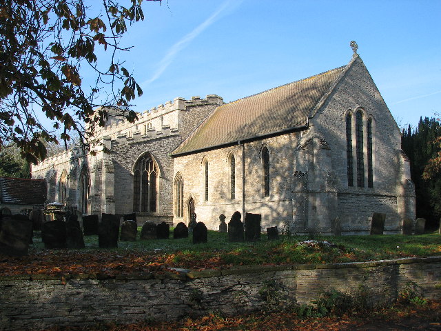
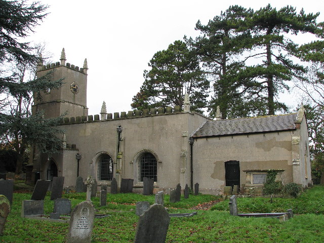
Birch Holt Images
Images are sourced within 2km of 52.94363/-0.87340151 or Grid Reference SK7539. Thanks to Geograph Open Source API. All images are credited.


Birch Holt is located at Grid Ref: SK7539 (Lat: 52.94363, Lng: -0.87340151)
Administrative County: Nottinghamshire
District: Rushcliffe
Police Authority: Nottinghamshire
What 3 Words
///snapped.jumpy.insulated. Near Aslockton, Nottinghamshire
Nearby Locations
Related Wikis
Orston
Orston is an English village and civil parish in the Rushcliffe borough of Nottinghamshire, 15 miles (24 km) east of Nottingham. It borders the parishes...

Elton on the Hill
Elton on the Hill is a small Nottinghamshire village and civil parish in the Vale of Belvoir. The population of about 75 is included with the civil parish...
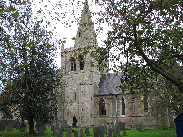
St Michael and All Angels' Church, Elton on the Hill
St Michael and All Angels' Church, Elton on the Hill is a parish church in the Church of England in Elton on the Hill, Nottinghamshire. It is Grade II...

Nottingham–Grantham line
The Nottingham–Grantham line is a branch line between the city of Nottingham and the town of Grantham in the East Midlands of England. For most of its...

Whatton-in-the-Vale
Whatton-in-the-Vale is an English village in the Nottinghamshire borough of Rushcliffe. It lies in the Vale of Belvoir, with the River Smite to the west...
Church of St John of Beverley, Whatton
The Church of St John of Beverley, Whatton is a parish church in the Church of England in Whatton-in-the-Vale, Nottinghamshire, dedicated to St John of...
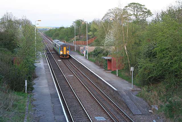
Elton and Orston railway station
Elton and Orston (formerly Elton) railway station serves the villages of Elton on the Hill and Orston in Nottinghamshire, England. It is owned by Network...
Sutton-cum-Granby
Sutton-cum-Granby (also known as Sutton or Sutton in the Vale) is a hamlet in the Borough of Rushcliffe in Nottinghamshire, England. It lies in the Vale...
Nearby Amenities
Located within 500m of 52.94363,-0.87340151Have you been to Birch Holt?
Leave your review of Birch Holt below (or comments, questions and feedback).