Bissomhill Shaw
Wood, Forest in Oxfordshire
England
Bissomhill Shaw
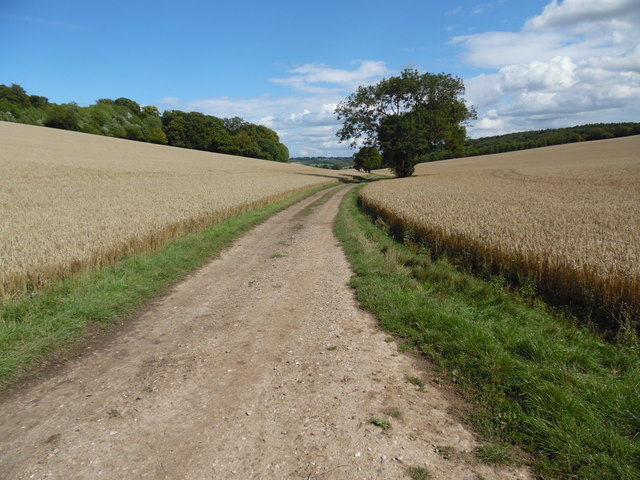
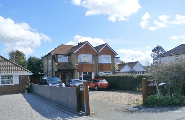
Bissomhill Shaw is a woodland area located in Oxfordshire, England. Spread across a vast expanse, it is known for its dense forest and diverse range of tree species. The shaw is situated in close proximity to the village of Bissomhill, which adds to its accessibility and popularity among locals and tourists alike.
The woodland is characterized by its rich biodiversity, harboring a variety of flora and fauna. Oak, beech, and birch trees dominate the landscape, creating a picturesque setting throughout the seasons. The forest floor is carpeted with an array of wildflowers, adding bursts of color to the greenery.
Bissomhill Shaw offers a serene and tranquil environment, making it a perfect destination for nature enthusiasts and those seeking a peaceful retreat. Visitors can explore the numerous walking trails that wind through the woods, providing an opportunity to immerse oneself in the natural beauty of the area. The trails are well-maintained, ensuring a safe and enjoyable experience for all.
The woodland also serves as a habitat for a variety of wildlife species. Birdwatchers can spot a wide array of avian species, including woodpeckers, owls, and songbirds. Squirrels, rabbits, and deer are common sightings as well, adding to the charm of the shaw.
Bissomhill Shaw is a true gem in Oxfordshire, offering a chance to connect with nature and experience the peacefulness of a woodland setting. Whether it's a leisurely stroll or a more adventurous hike, this wood provides an escape from the hustle and bustle of everyday life.
If you have any feedback on the listing, please let us know in the comments section below.
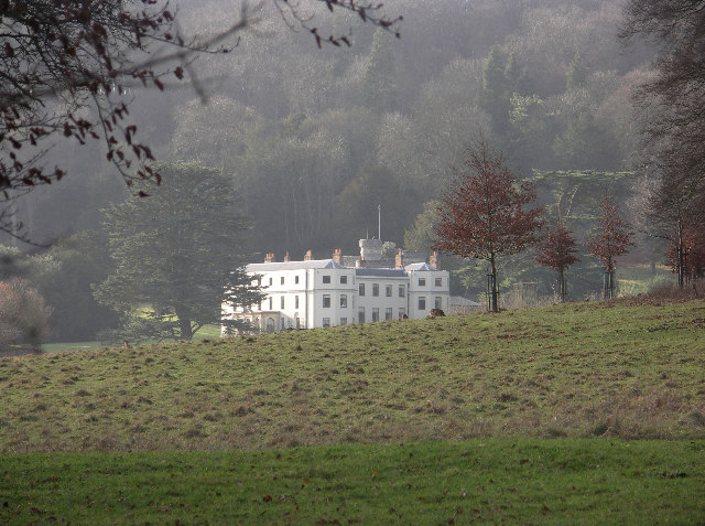
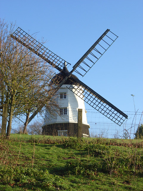
Bissomhill Shaw Images
Images are sourced within 2km of 51.654628/-0.90659486 or Grid Reference SU7595. Thanks to Geograph Open Source API. All images are credited.


Bissomhill Shaw is located at Grid Ref: SU7595 (Lat: 51.654628, Lng: -0.90659486)
Unitary Authority: Buckinghamshire
Police Authority: Thames Valley
What 3 Words
///merit.overtime.tram. Near Stokenchurch, Buckinghamshire
Nearby Locations
Related Wikis
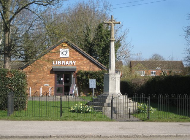
Stokenchurch War Memorial
Stokenchurch War Memorial is located outside the Memorial Hall, Wycombe Road, Stokenchurch, Buckinghamshire, England. It is a grade II listed building...
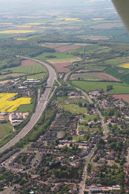
Stokenchurch
Stokenchurch is a village and civil parish in south-west Buckinghamshire, England. It is located in the Chiltern Hills, about 3 miles (5 km) south of Chinnor...

Chiltern Hills
The Chiltern Hills are a chalk escarpment in the UK northwest of London, covering 660 square miles (1,700 km2) across Oxfordshire, Buckinghamshire, Hertfordshire...
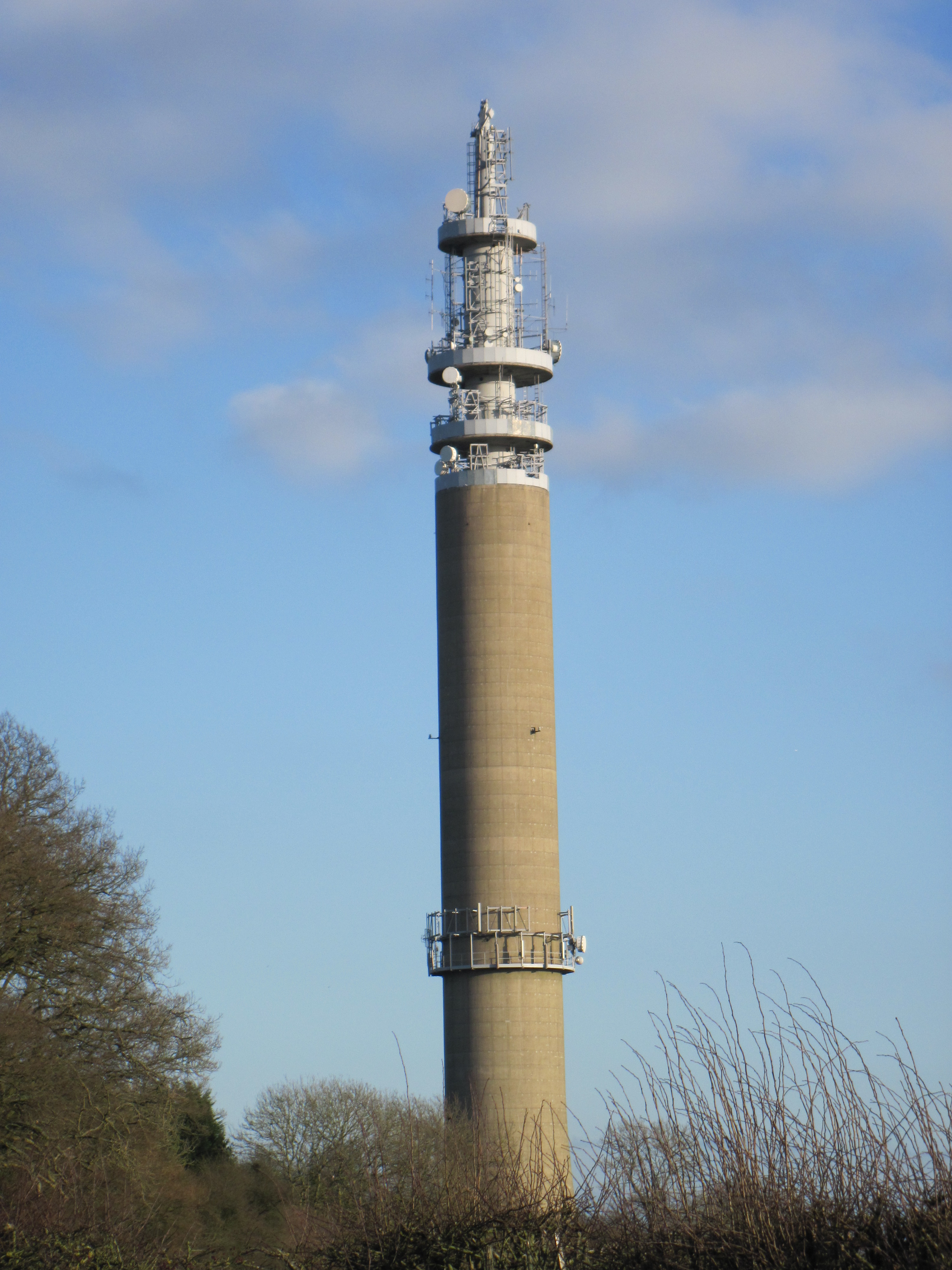
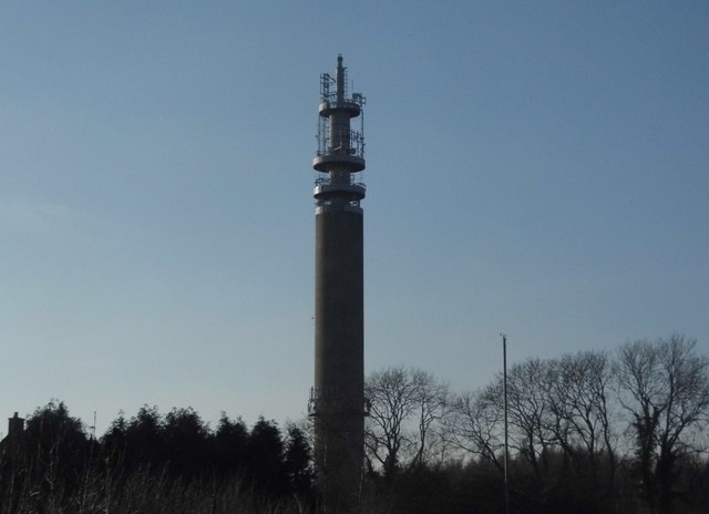
Stokenchurch BT Tower
Stokenchurch BT Tower is a telecommunications tower built of reinforced concrete at Stokenchurch, Buckinghamshire, England. Reaching to 340.5 metres (1...

Garsington Opera
Garsington Opera is an annual summer opera festival founded in 1989 by Leonard Ingrams. The Philharmonia Orchestra and The English Concert are its two...
Wormsley Park
Wormsley is a private estate of Mark Getty and his family, set in 2,700-acre (1,100 ha) of rolling countryside in the Chiltern Hills of Buckinghamshire...

Wormsley Chalk Banks
Wormsley Chalk Banks are six separate areas which together are a 14.1-hectare (35-acre) biological Site of Special Scientific Interest near Turville in...
Ibstone
Ibstone (previously Ipstone) is a village and civil parish within Wycombe district in Buckinghamshire, England. It is in the Chiltern Hills on the border...
Nearby Amenities
Located within 500m of 51.654628,-0.90659486Have you been to Bissomhill Shaw?
Leave your review of Bissomhill Shaw below (or comments, questions and feedback).