Brickpit Plantation
Wood, Forest in Nottinghamshire Rushcliffe
England
Brickpit Plantation

Brickpit Plantation, located in Nottinghamshire, is a scenic woodland area known for its rich biodiversity and natural beauty. Covering an area of approximately 500 acres, this plantation is a haven for nature enthusiasts and a popular destination for outdoor activities.
The woodland is predominantly composed of a variety of tree species, including oak, birch, beech, and pine, creating a diverse and vibrant ecosystem. These trees provide a habitat for numerous bird species, such as woodpeckers, owls, and warblers, making it a paradise for birdwatchers.
Brickpit Plantation offers various walking and cycling trails, allowing visitors to explore the picturesque surroundings at their own pace. The paths meander through the woodland, providing stunning views of the flora and fauna. There are also picnic areas scattered throughout the plantation, providing the perfect spot for families and friends to relax and enjoy a meal amidst nature.
The plantation is managed by local authorities and conservation organizations, ensuring the preservation of its natural heritage. Efforts have been made to promote sustainable practices and protect native wildlife, making Brickpit Plantation a key site for conservation in Nottinghamshire.
In addition to its natural wonders, Brickpit Plantation also hosts educational programs and events to raise awareness about the importance of environmental conservation. These initiatives aim to engage visitors of all ages and foster a deeper appreciation for the natural world.
Overall, Brickpit Plantation in Nottinghamshire is a captivating woodland destination that offers a tranquil escape from the hustle and bustle of everyday life, while also playing a crucial role in biodiversity conservation and environmental education.
If you have any feedback on the listing, please let us know in the comments section below.
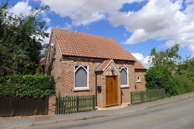
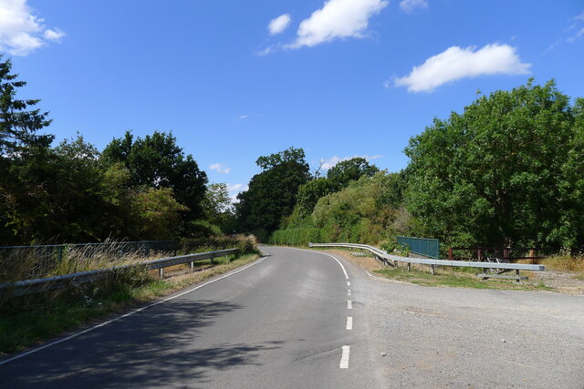
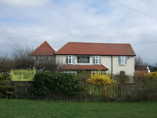
Brickpit Plantation Images
Images are sourced within 2km of 52.938789/-0.87474742 or Grid Reference SK7538. Thanks to Geograph Open Source API. All images are credited.


Brickpit Plantation is located at Grid Ref: SK7538 (Lat: 52.938789, Lng: -0.87474742)
Administrative County: Nottinghamshire
District: Rushcliffe
Police Authority: Nottinghamshire
What 3 Words
///glorious.going.wasps. Near Aslockton, Nottinghamshire
Nearby Locations
Related Wikis

Elton on the Hill
Elton on the Hill is a small Nottinghamshire village and civil parish in the Vale of Belvoir. The population of about 75 is included with the civil parish...
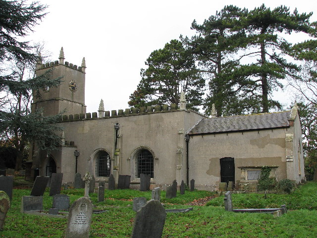
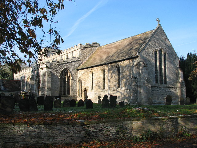
St Michael and All Angels' Church, Elton on the Hill
St Michael and All Angels' Church, Elton on the Hill is a parish church in the Church of England in Elton on the Hill, Nottinghamshire. It is Grade II...

Sutton-cum-Granby
Sutton-cum-Granby (also known as Sutton or Sutton in the Vale) is a hamlet in the Borough of Rushcliffe in Nottinghamshire, England. It lies in the Vale...
Orston
Orston is an English village and civil parish in the Rushcliffe borough of Nottinghamshire, 15 miles (24 km) east of Nottingham. It borders the parishes...
Whatton-in-the-Vale
Whatton-in-the-Vale is an English village in the Nottinghamshire borough of Rushcliffe. It lies in the Vale of Belvoir, with the River Smite to the west...

Nottingham–Grantham line
The Nottingham–Grantham line is a branch line between the city of Nottingham and the town of Grantham in the East Midlands of England. For most of its...
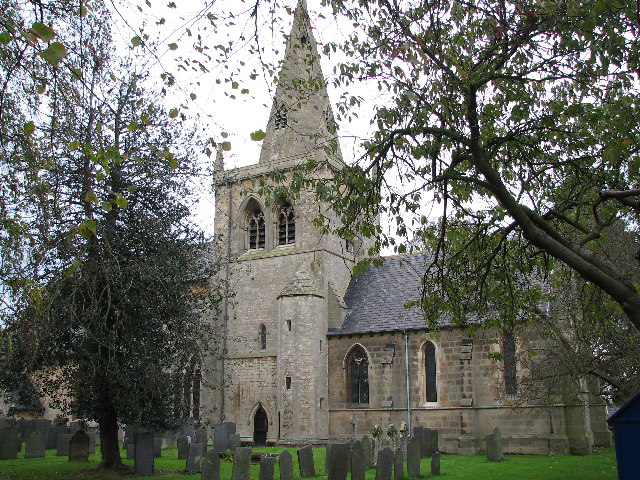
Church of St John of Beverley, Whatton
The Church of St John of Beverley, Whatton is a parish church in the Church of England in Whatton-in-the-Vale, Nottinghamshire, dedicated to St John of...
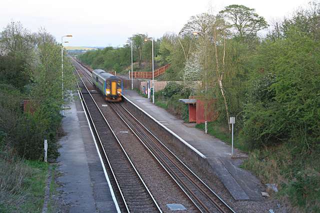
Elton and Orston railway station
Elton and Orston (formerly Elton) railway station serves the villages of Elton on the Hill and Orston in Nottinghamshire, England. It is owned by Network...
Nearby Amenities
Located within 500m of 52.938789,-0.87474742Have you been to Brickpit Plantation?
Leave your review of Brickpit Plantation below (or comments, questions and feedback).