Arthur's Wood
Wood, Forest in Yorkshire Ryedale
England
Arthur's Wood

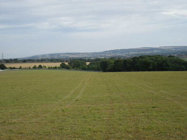
Arthur's Wood is a picturesque forest located in Yorkshire, England. Covering an area of approximately 500 acres, this woodland is a popular destination for nature enthusiasts and hikers alike. The forest is named after King Arthur, the legendary figure from British folklore, adding a touch of mystique to the already captivating surroundings.
The woodland is predominantly composed of ancient oak trees, creating a dense and enchanting canopy that provides shelter for a myriad of wildlife species. Visitors can expect to encounter a rich diversity of flora and fauna, including species such as deer, foxes, badgers, and a wide variety of bird species. The forest floor is adorned with a tapestry of wildflowers during the spring and summer months, adding bursts of color to the verdant surroundings.
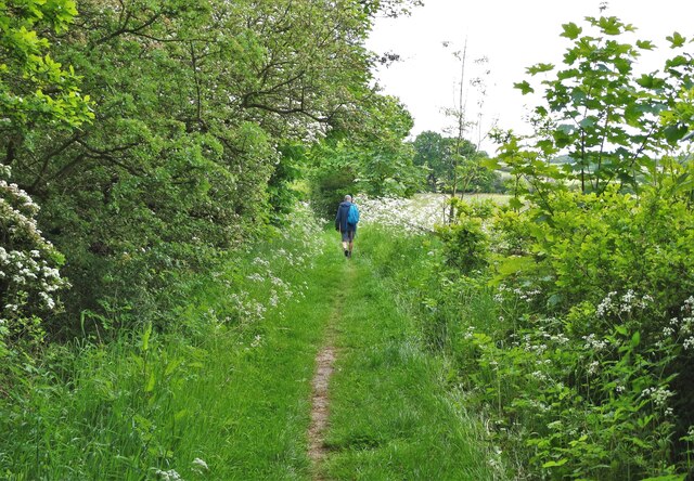
Arthur's Wood offers a network of well-maintained walking trails, ranging from leisurely strolls to more challenging hikes. These trails wind through the forest, leading visitors to hidden clearings, babbling brooks, and breathtaking viewpoints. Along the way, interpretive signs and information boards provide insight into the history and ecology of the woodland, enriching the visitor's experience.
The forest is also home to a small visitor center, where guests can learn more about the area's history and pick up trail maps. The center also hosts educational programs and activities for children, making it an ideal destination for families.
Arthur's Wood is a true gem in the heart of Yorkshire, offering visitors a tranquil and immersive experience in nature. Whether it's for a leisurely stroll, birdwatching, or simply enjoying the peace and serenity of the forest, this woodland is a must-visit destination for nature lovers.
If you have any feedback on the listing, please let us know in the comments section below.
Arthur's Wood Images
Images are sourced within 2km of 54.11566/-0.84470999 or Grid Reference SE7569. Thanks to Geograph Open Source API. All images are credited.


Arthur's Wood is located at Grid Ref: SE7569 (Lat: 54.11566, Lng: -0.84470999)
Division: North Riding
Administrative County: North Yorkshire
District: Ryedale
Police Authority: North Yorkshire
What 3 Words
///lighters.plot.pipeline. Near Malton, North Yorkshire
Nearby Locations
Related Wikis

Hildenley
Hildenley is a former civil parish 2 miles (3.2 km) south-west of Malton, North Yorkshire, England, on the north bank of the River Derwent. In 1961 the...
Huttons Ambo railway station
Huttons Ambo railway station was a minor railway station serving the twin villages of High Hutton and Low Hutton, and the village of Menethorpe, in North...

Huttons Ambo
Huttons Ambo is a civil parish in the Ryedale district of North Yorkshire, England. It is about 14 miles (22.5 km) north-east of York and 3 miles (4.8...
Menethorpe
Menethorpe is a hamlet and former civil parish, now in the parish of Burythorpe, in North Yorkshire, England. In 1931 the parish had a population of 68...
Easthorpe, North Yorkshire
Easthorpe is a village in North Yorkshire, England. It is part of the Appleton-le-Street with Easthorpe parish.
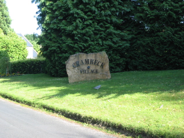
Crambeck
Crambeck near Crambe and Malton in Yorkshire is near the River Derwent. == History == === Roman === Crambeck is famous in antiquity as having been the Roman...

Firby, Ryedale
Firby is a village in the civil parish of Westow, in North Yorkshire, England, 4 miles (6 km) south west of Malton. Firby was historically a township in...
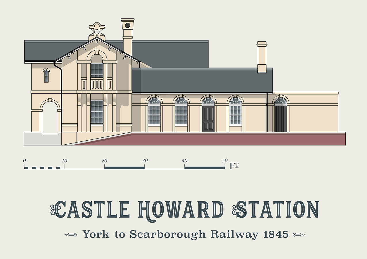
Castle Howard railway station
Castle Howard railway station was a minor railway station serving the village of Welburn and the stately home at Castle Howard in North Yorkshire, England...
Nearby Amenities
Located within 500m of 54.11566,-0.84470999Have you been to Arthur's Wood?
Leave your review of Arthur's Wood below (or comments, questions and feedback).