Ringwood Copse
Wood, Forest in Hampshire Hart
England
Ringwood Copse

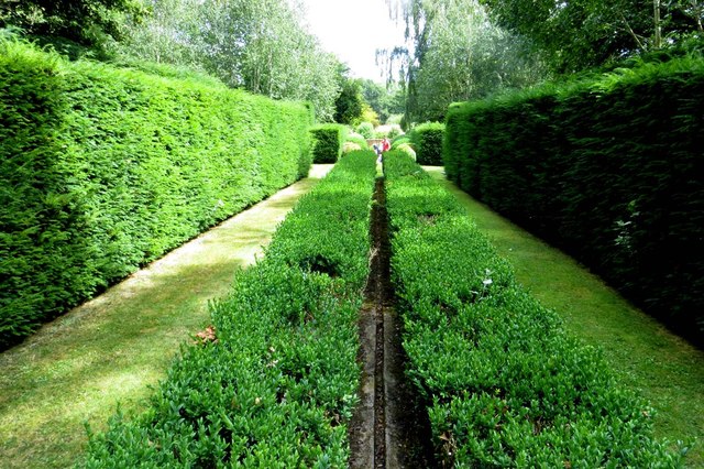
Ringwood Copse is a picturesque woodland located in the county of Hampshire, England. Stretching over an area of approximately 140 hectares, it is a popular destination for nature lovers and outdoor enthusiasts. The copse is situated near the town of Ringwood, between the A31 and A338, making it easily accessible for visitors.
The woodland is predominantly made up of oak and beech trees, which create a dense canopy providing ample shade during the summer months. The forest floor is covered in a rich carpet of bluebells and other wildflowers, adding to the copse's natural beauty. The diversity of plant life in Ringwood Copse attracts a variety of wildlife, including deer, squirrels, and a wide range of bird species.
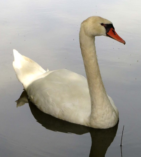
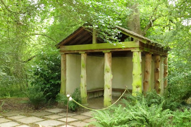
Visitors to Ringwood Copse can enjoy a network of well-maintained footpaths and trails, which allow for leisurely strolls or more challenging hikes. The copse also offers opportunities for picnicking and birdwatching, with designated areas for visitors to relax and enjoy the surroundings. Additionally, the copse is home to a small pond, which attracts various species of amphibians and provides a tranquil spot for reflection.
Ringwood Copse is managed by the Forestry Commission, ensuring the preservation and conservation of the woodland. The copse is open to the public throughout the year, with no admission fees. With its natural beauty and peaceful atmosphere, Ringwood Copse offers a wonderful escape from the hustle and bustle of everyday life, providing a haven for both wildlife and visitors alike.
If you have any feedback on the listing, please let us know in the comments section below.
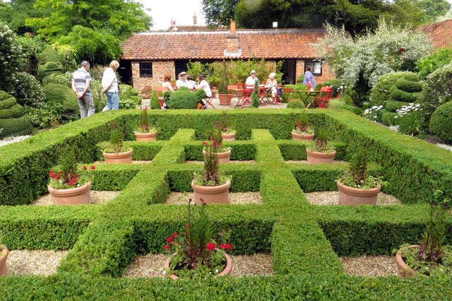
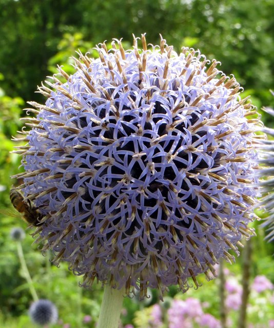
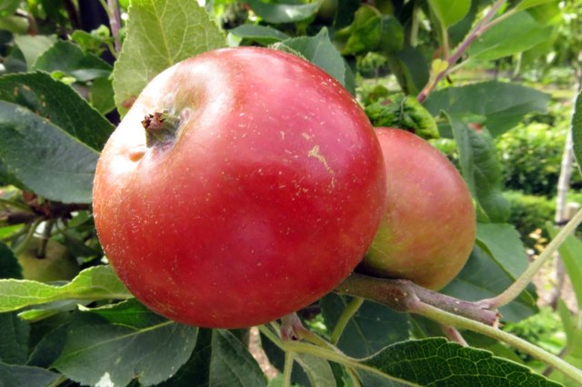
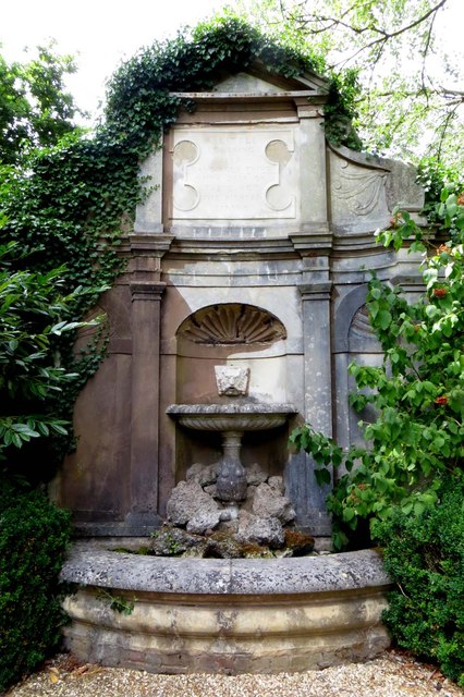
Ringwood Copse Images
Images are sourced within 2km of 51.288904/-0.91750984 or Grid Reference SU7554. Thanks to Geograph Open Source API. All images are credited.


Ringwood Copse is located at Grid Ref: SU7554 (Lat: 51.288904, Lng: -0.91750984)
Administrative County: Hampshire
District: Hart
Police Authority: Hampshire
What 3 Words
///urge.mammoths.clerk. Near Hartley Wintney, Hampshire
Nearby Locations
Related Wikis
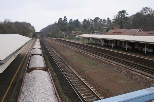
Winchfield railway station
Winchfield railway station is located in the small village of Winchfield and also serves Hartley Wintney and surrounding villages and towns such as Odiham...

Phoenix Green
Phoenix Green is a village in the Hart District of Hampshire, England about 1 mile (1.6 km) southwest of Hartley Wintney. It has a petrol station and one...

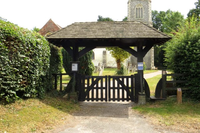
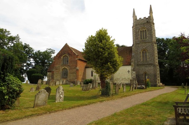
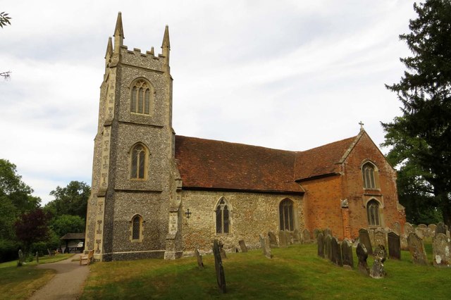
St Mary's Church, Hartley Wintney
St Mary's Church is a redundant Anglican church in the village of Hartley Wintney, Hampshire, England. It is recorded in the National Heritage List for...
Hartley Wintney F.C.
Hartley Wintney Football Club is a semi-professional football club based in the village of Hartley Wintney, Hampshire, England. They are currently members...
West Green, Hampshire
West Green is a village in the Hartley Wintney parish of Hampshire, England. The villages lies 2 miles (3 km) from Hook, its nearest town.
West Green House
West Green House is an 18th-century country house and garden at West Green in Hartley Wintney in the English county of Hampshire. The house is listed Grade...
Hartley Wintney
Hartley Wintney is a large village and civil parish in the Hart district of Hampshire, England. It lies about 3 miles (5 km) northwest of Fleet and 8 miles...

Winchfield
Winchfield is a small village in the Hart District of Hampshire in the South-East of England. It is situated 1 mile (1.6 km) south-west of Hartley Wintney...
Nearby Amenities
Located within 500m of 51.288904,-0.91750984Have you been to Ringwood Copse?
Leave your review of Ringwood Copse below (or comments, questions and feedback).