South Coopers Wood

Wood, Forest in Sussex Chichester

England

South Coopers Wood

Forestside and Stansted Village Hall Near the church, across the road.
Forestside and Stansted Village Hall Credit: Robin Webster

South Coopers Wood is a beautiful forest located in Sussex, England. Covering an area of approximately 500 acres, it is a part of the wider Coopers Wood complex. The wood is situated near the village of Southwater and is easily accessible by both car and public transportation.

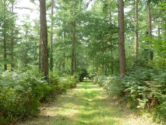
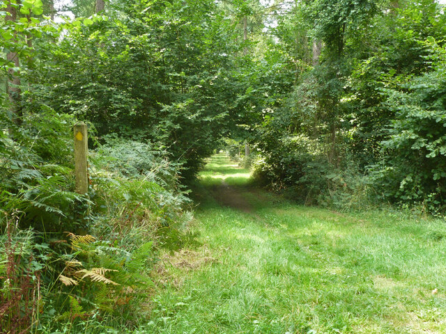
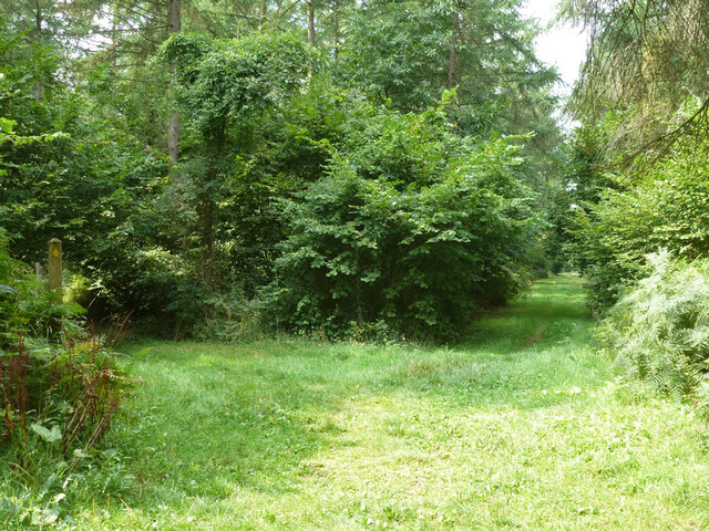
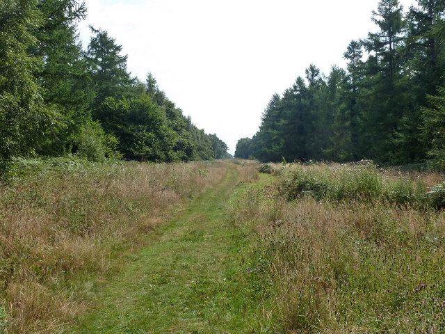
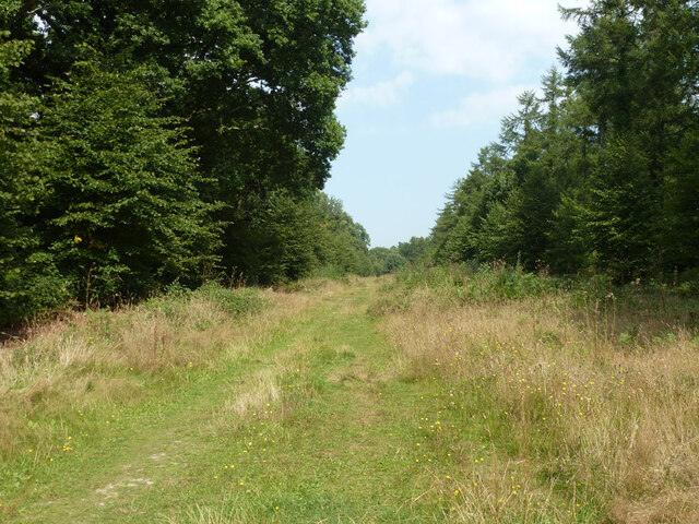
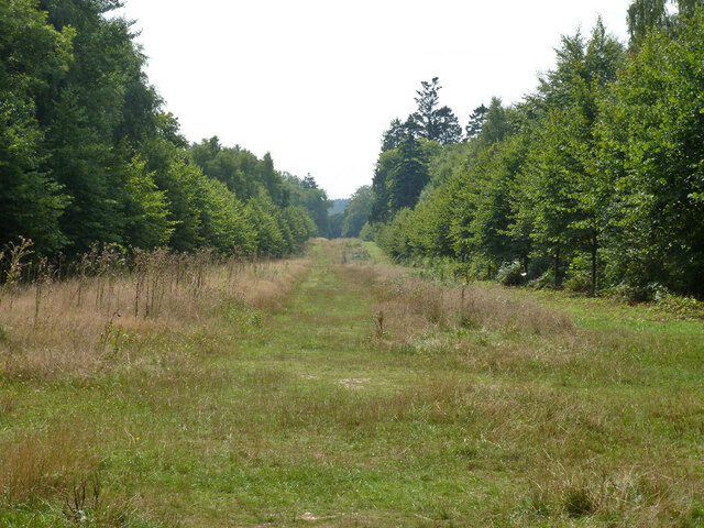
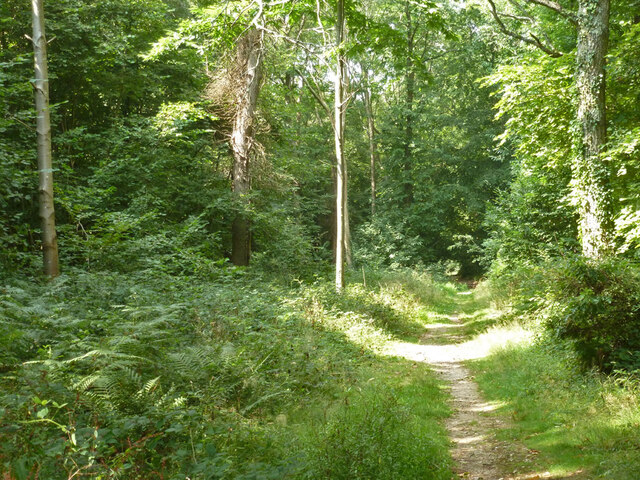
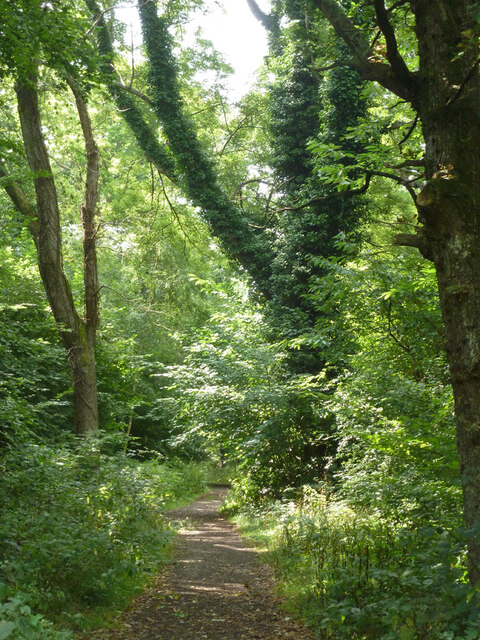
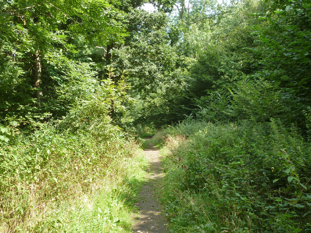
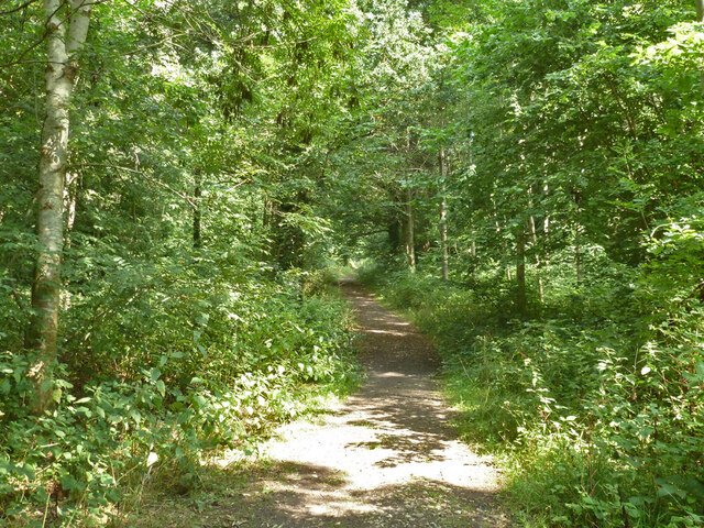
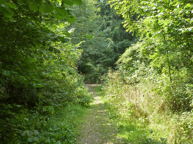
This ancient woodland is known for its diverse range of plant and animal species. The forest is predominantly made up of broadleaf trees, including oak, beech, and ash. These towering trees create a dense and lush canopy, providing a habitat for a variety of wildlife such as deer, foxes, and squirrels. The forest floor is carpeted with bluebells and ferns, adding to its natural beauty.

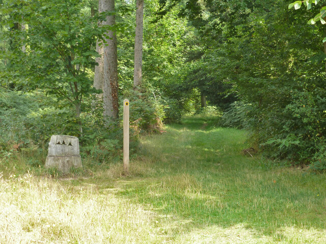
South Coopers Wood offers a range of recreational opportunities for visitors. There are numerous walking trails and pathways that wind through the forest, allowing individuals to explore the woodland at their own pace. The forest is also a popular spot for birdwatching, with a wide array of bird species inhabiting the area.

Due to its rich biodiversity, South Coopers Wood is recognized as a Site of Special Scientific Interest (SSSI) and is protected by law. The management of the wood is carefully overseen to ensure the preservation of its natural habitat.

Overall, South Coopers Wood is a stunning forest that offers a peaceful retreat from the hustle and bustle of everyday life. Its natural beauty and abundant wildlife make it a popular destination for nature lovers and outdoor enthusiasts alike.

If you have any feedback on the listing, please let us know in the comments section below.

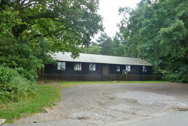
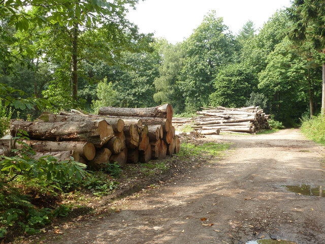
South Coopers Wood Images

Images are sourced within 2km of 50.8868/-0.92745117 or Grid Reference SU7510. Thanks to Geograph Open Source API. All images are credited.

Forestside and Stansted Village Hall Near the church, across the road.
Forestside and Stansted Village Hall
Near the church, across the road.
Stacked timber, Stansted Forest By public footpath 524.
Stacked timber, Stansted Forest
By public footpath 524.
Footpath 521 in Stansted Forest Towards Rowland's Castle.
Footpath 521 in Stansted Forest
Towards Rowland's Castle.
Footpath 521 in Stansted Forest Towards Rowland's Castle.
Footpath 521 in Stansted Forest
Towards Rowland's Castle.
Ride in Stansted Forest At a six-way junction, public footpath 521 passes from right to left.
Ride in Stansted Forest
At a six-way junction, public footpath 521 passes from right to left.
Ride, Stansted Forest Viewed from the public footpath which crosses the ride. The ride is a permissive footpath.
Ride, Stansted Forest
Viewed from the public footpath which crosses the ride. The ride is a permissive footpath.
Ladies' Ride, Stansted Forest Looking north.
Ladies' Ride, Stansted Forest
Looking north.
Public footpath 521, Stansted Forest
Ladies' Ride, Stansted Forest Looking south.
Ladies' Ride, Stansted Forest
Looking south.
Path, Stansted Forest
Park Gate Cottages On the Stansted Estate.
Park Gate Cottages
On the Stansted Estate.
Timber stack by bridleway 503_2
Combine harvester trailer by bridleway 503_2 There was a combine harvester parked some way across the field, with a bit yet to do. This transports the front attachment where there are width limits.
Combine harvester trailer by bridleway 503_2
There was a combine harvester parked some way across the field, with a bit yet to do. This transports the front attachment where there are width limits.
Bridleway 503_2 heading north Towards Park Gate Cottages.
Bridleway 503_2 heading north
Towards Park Gate Cottages.
Show me another place!

South Coopers Wood is located at Grid Ref: SU7510 (Lat: 50.8868, Lng: -0.92745117)

Administrative County: West Sussex

District: Chichester

Police Authority: Sussex

What 3 Words

///boards.fear.offhand. Near Emsworth, Hampshire

Related Wikis

Stansted Park

Stansted Park (including Stansted House) is an Edwardian country house in the parish of Stoughton, West Sussex, England. It is near the city of Chichester...

Rowlands Castle railway station

Rowlands Castle railway station serves the village of Rowland's Castle, Hampshire, England. It is located on the Portsmouth Direct Line, 63 miles 18 chains...

Racton Monument

Racton Monument (known locally as Racton Ruin) is a folly on a hill in Racton, West Sussex, England with views over Chichester Harbour and to the Isle...

Hollybank House, Emsworth

Hollybank House near Emsworth in Hampshire, England, is a building of historical significance and is Grade II listed on the English Heritage Register....

Rowland's Castle

Rowland's Castle is a village and civil parish in the East Hampshire district of Hampshire, England. It is 2.9 miles (4.7 km) north of Havant, on the Hampshire/West...

Racton

Racton is a hamlet in the Chichester district of West Sussex, England. It lies on the B2147 road 2.1 miles (3.4 km) northeast of Emsworth and within the...
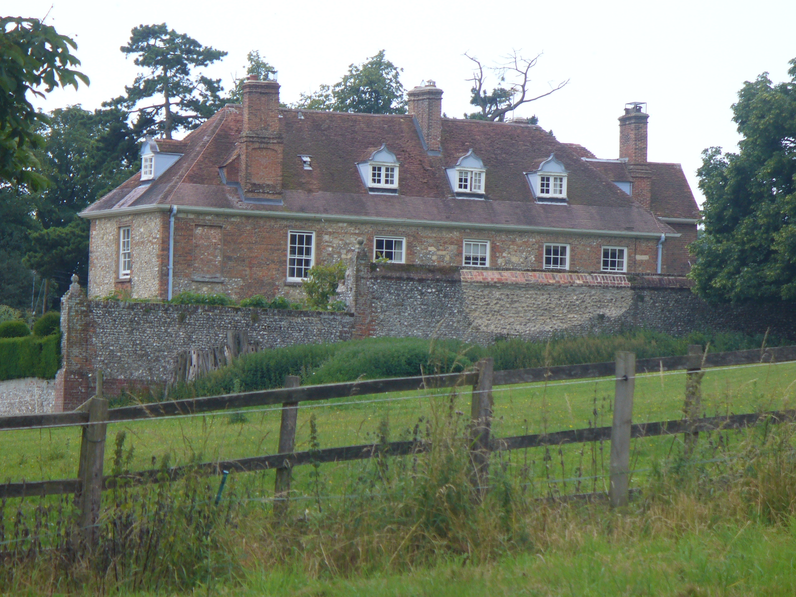
Lordington House

Lordington House is a manor house near Walderton in West Sussex. It is a Grade II* listed building. == History == Lordington House was built around 1500...

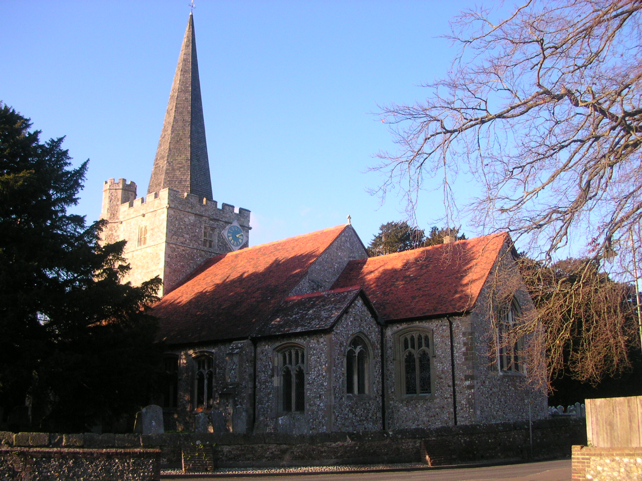
Westbourne, West Sussex

Westbourne is a village, civil parish and electoral ward in the Chichester District of West Sussex, England. It is located 0.5 miles (0.80 km) north east...

Nearby Amenities

Located within 500m of 50.8868,-0.92745117
Sawmill
Naptan AtcoCode: 4400CH0577
Naptan Bearing: N
Naptan BusStopType: CUS
Naptan CommonName: Sawmill
Naptan Indicator: O/s Sawmill
Naptan Landmark: Stubbermere Sawmill
Naptan NaptanCode: wsxdtajp
Naptan Street: Unnamed
Naptan Verified: no
Source: naptan_import
Lat/Long: 50.8846466/-0.9300525
Barrier: entrance
Maxheight: 1.9
Lat/Long: 50.8876103/-0.9294106
Post Box
Collection Plate: CP7
Collection Times: Mo-Fr 16:30; Sa 07:00
Post Box Type: lamp
Ref: PO9 54
Royal Cypher: EIIR
Royal Cypher Wikidata: Q33102113
Lat/Long: 50.8845923/-0.9300008
Stansted Farm Shop
Addr City: Stansted
Addr Place: Rowlands Castle
Addr Postcode: PO9 6DX
Fhrs Authority: Chichester
Fhrs Id: 1221481
Fhrs Local Authority Id: 20/00022/FOOD
Opening Hours: Mo-Su 10:00-17:00
Phone: +44 2392 413 576
Shop: convenience
Source: the local Postcode Publications newspaper advert for this farm shop
Website: https://stanstedfarmshop.com/
Lat/Long: 50.8850296/-0.9217431
Bicycle Parking
Bicycle Parking: wall_loops
Capacity: 16
Covered: no
Lat/Long: 50.8850225/-0.9222253
Defibrillator
Access: permissive
Defibrillator Location: AW97 Stansted Park Garden Centre
Emergency: defibrillator
Emergency Phone: 999
Indoor: no
Ref GB The Circuit: 9BCB5FA6-9090-4207-99AC-AD260107FC6D
Lat/Long: 50.8851889/-0.9222242
Board Type: nature
Information: board
Tourism: information
Lat/Long: 50.8877801/-0.9297535
Barrier: kissing_gate
Material: steel
Source: survey
Lat/Long: 50.8837019/-0.924136
Access: customers
Leisure: playground
Source: survey
Lat/Long: 50.8853275/-0.9210516
Barrier: entrance
Lat/Long: 50.885645/-0.9216862
Entrance: main
Lat/Long: 50.8857376/-0.9215303
Entrance: main
Lat/Long: 50.8852236/-0.9225577
Public Transport: station
Railway: station
Usage: tourism
Lat/Long: 50.8844396/-0.9225262
Barrier: entrance
Lat/Long: 50.8850913/-0.9216739
Barrier: entrance
Lat/Long: 50.8851384/-0.921632
Barrier: entrance
Lat/Long: 50.8854219/-0.921705
Barrier: yes
Lat/Long: 50.8852996/-0.9229705
Crossing
Lat/Long: 50.8856193/-0.923666
The data included in this document is from www.openstreetmap.org. The data is made available under ODbL.

Have you been to South Coopers Wood?

Leave your review of South Coopers Wood below (or comments, questions and feedback).