End, East
Settlement in Bedfordshire
England
End, East

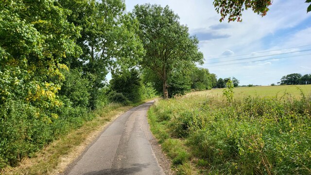
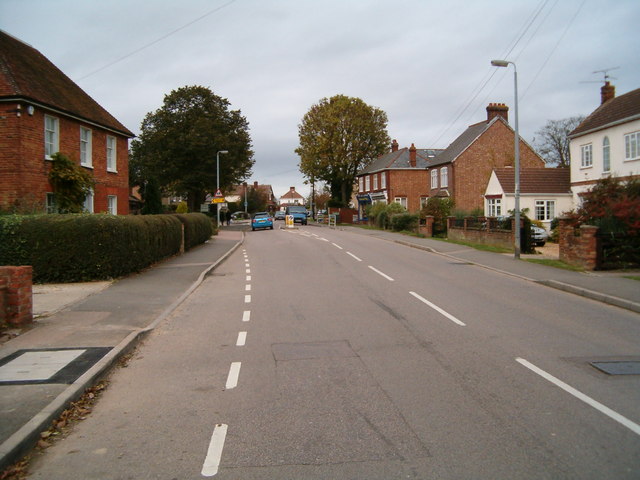
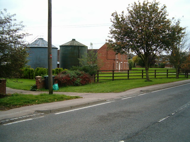
End, East, Bedfordshire is a small rural village located in the county of Bedfordshire, England. Situated approximately 10 miles east of Bedford, the village is nestled amidst the picturesque countryside, offering beautiful views of the rolling hills and farmlands that surround it.
With a population of around 500 residents, End, East has a close-knit community that prides itself on its strong sense of community spirit. The village is known for its tranquil and peaceful atmosphere, making it an ideal place for those seeking a quiet and idyllic lifestyle.
The village is primarily residential, with a mix of traditional cottages and modern houses dotting the landscape. The architectural style of the buildings reflects the rich history of the area, with some dating back to the 18th century.
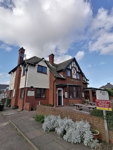
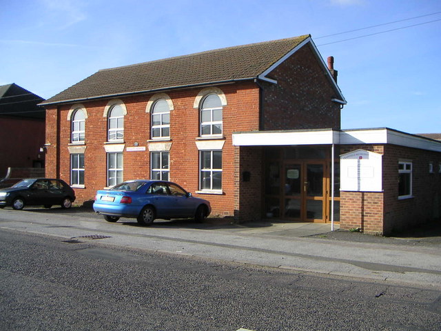
End, East is also home to a few amenities that cater to the needs of its residents. These include a local pub, a village hall, and a small convenience store. For more extensive shopping and entertainment options, residents can easily access the nearby town of Bedford, which offers a wide range of amenities.
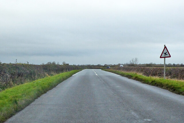
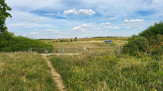
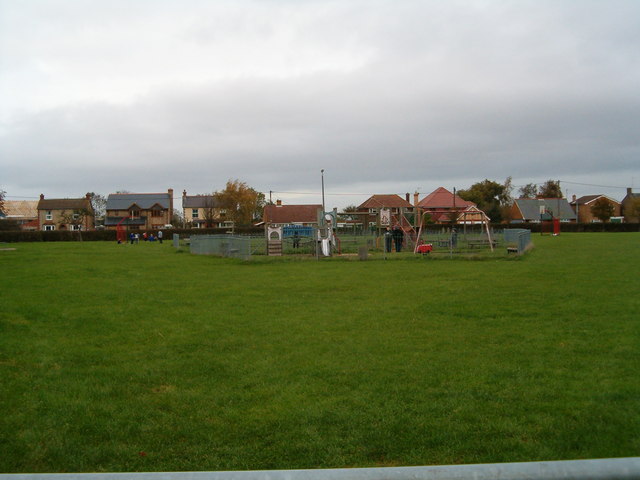
The village is surrounded by a network of footpaths and bridleways, making it a popular destination for outdoor enthusiasts. Residents and visitors can explore the scenic countryside through these paths, enjoying walks, cycling, and horse riding.
Overall, End, East, Bedfordshire offers a peaceful and picturesque setting for those looking to escape the hustle and bustle of city life and embrace a quieter and more rural lifestyle.
If you have any feedback on the listing, please let us know in the comments section below.
End, East Images
Images are sourced within 2km of 52.072039/-0.598581 or Grid Reference SP9642. Thanks to Geograph Open Source API. All images are credited.


End, East is located at Grid Ref: SP9642 (Lat: 52.072039, Lng: -0.598581)
Unitary Authority: Central Bedfordshire
Police Authority: Bedfordshire
What 3 Words
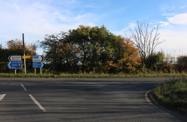
///printer.scrubber.increased. Near Cranfield, Bedfordshire
Nearby Locations
Related Wikis
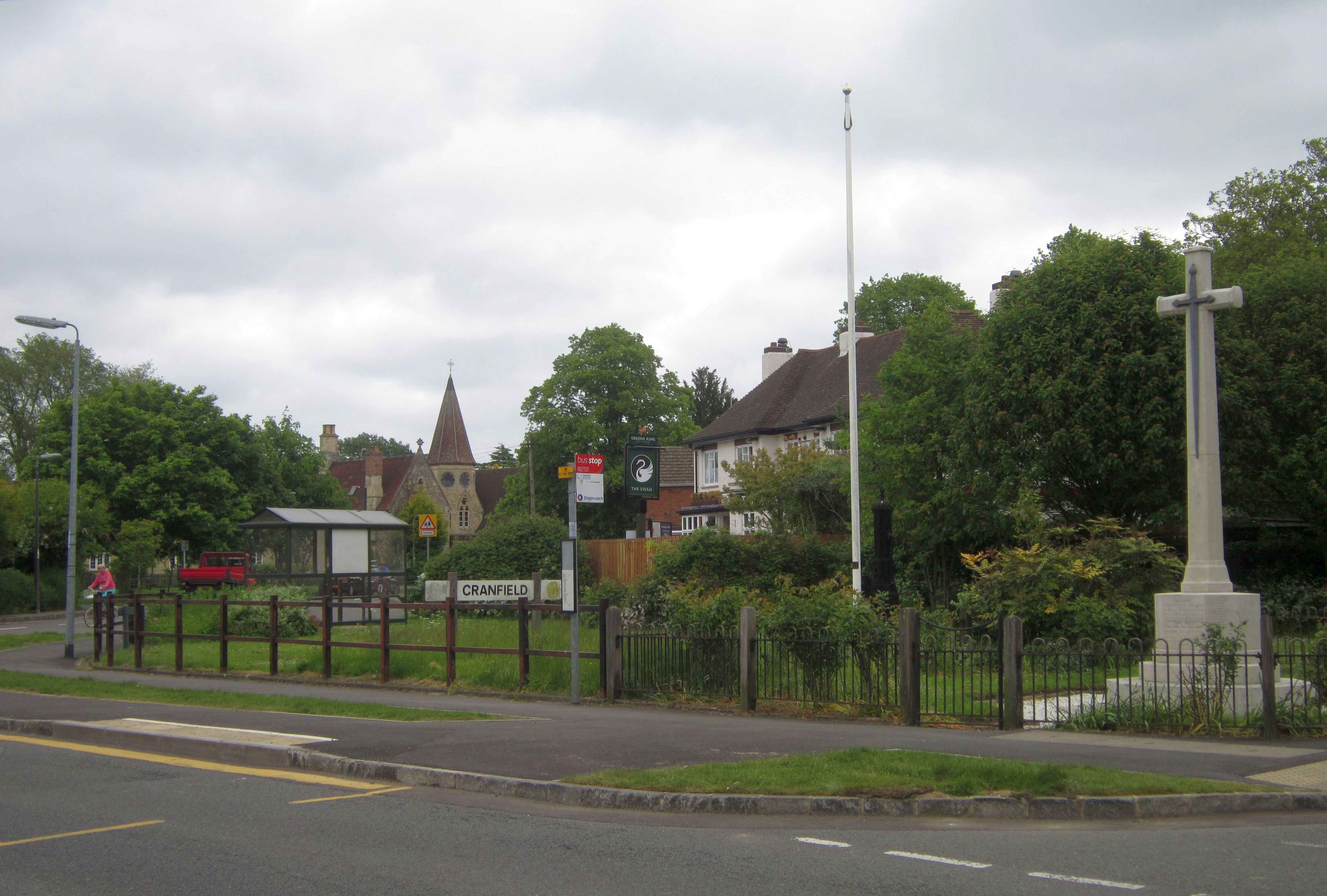
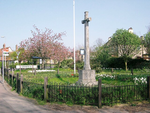
Cranfield
Cranfield is a village and civil parish in the west of Bedfordshire, England, situated between Bedford and Milton Keynes. It had a population of 4,909...

Church of St Peter & St Paul, Cranfield
Church of St Peter & St Paul is a Grade I listed church in Cranfield, Bedfordshire, England. It became a listed building on 23 January 1961. == See... ==

Cranfield United F.C.
Cranfield United Football Club is a football club based in Cranfield, near Bedford, Bedfordshire, England. The club is affiliated to the Bedfordshire County...

Cranfield Airport
Cranfield Airport (ICAO: EGTC) is an airfield just outside the village of Cranfield, in Bedfordshire, England. It is 7 NM (13 km; 8.1 mi) south-west of...
Nearby Amenities
Located within 500m of 52.072039,-0.598581Have you been to End, East?
Leave your review of End, East below (or comments, questions and feedback).