Bramshill Plantation

Wood, Forest in Hampshire Hart

England

Bramshill Plantation

Bend on Reading Road, Eversley
Bend on Reading Road, Eversley Credit: David Howard

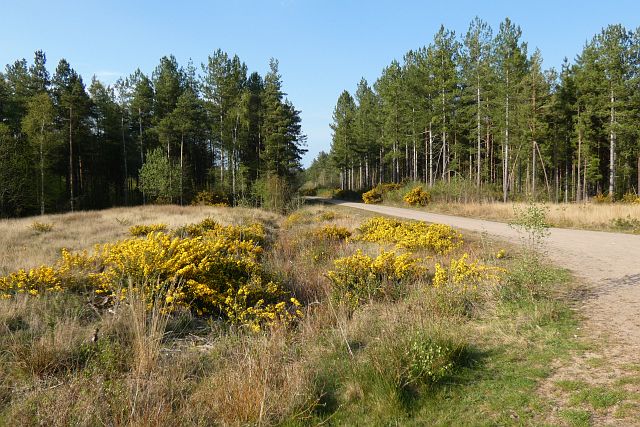
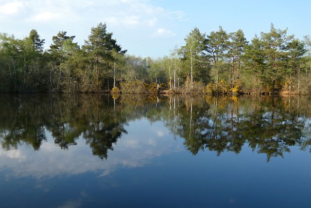
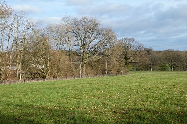
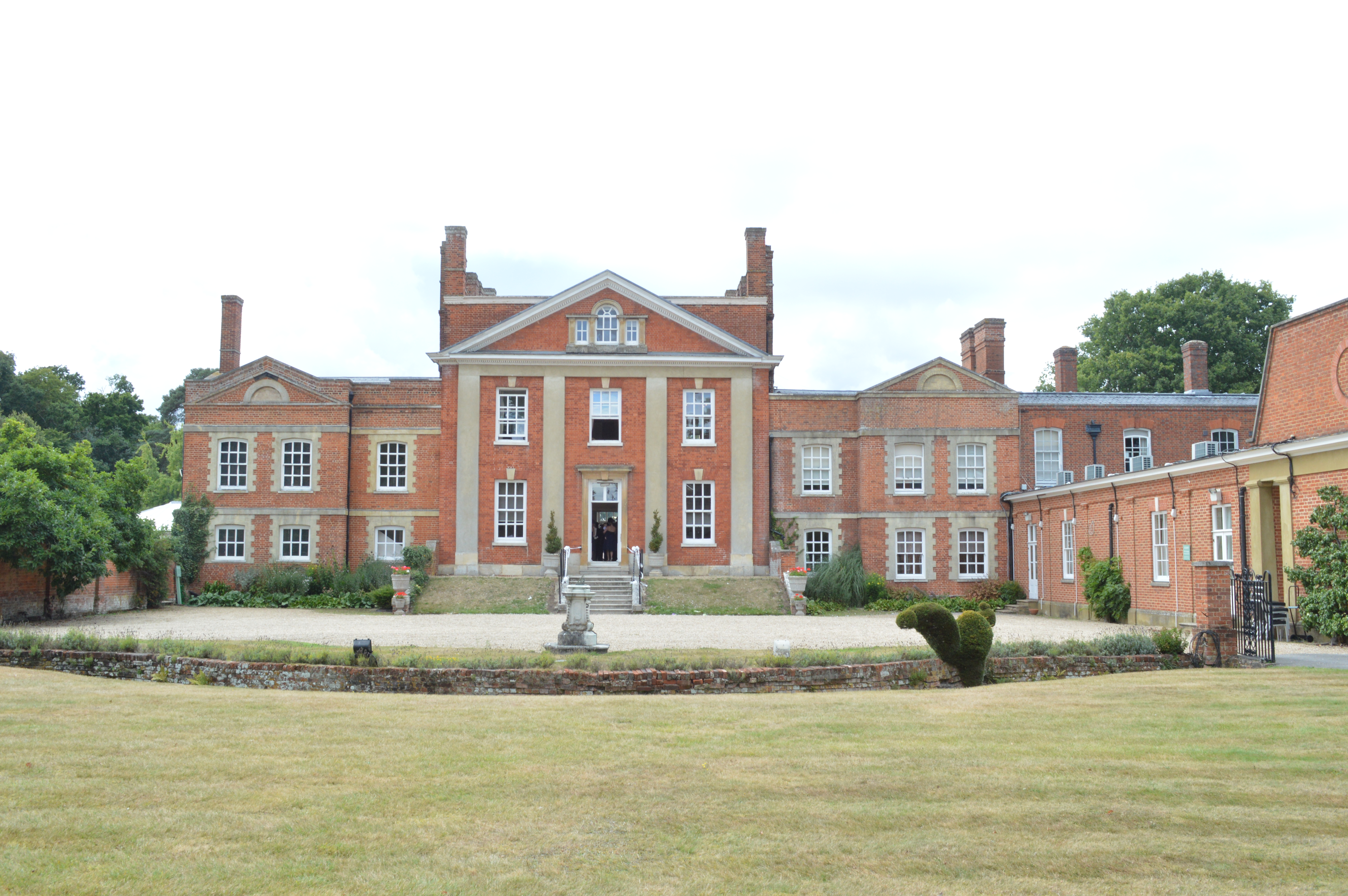
Located in Hampshire, England, Bramshill Plantation is a picturesque woodland area that covers approximately 350 hectares. The plantation is situated within the wider Bramshill Forest, which spans over 1,500 hectares. The forest is managed by the Forestry Commission and offers a diverse range of habitats for both flora and fauna.

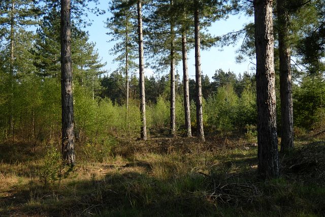
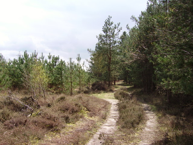
Bramshill Plantation boasts a rich history, with records dating back to the 12th century. It was originally established as a royal hunting ground and later became a source of timber for the construction of ships during the Tudor period. Today, the woodland is primarily made up of coniferous trees, such as Scots pine and Douglas fir, although there are also areas of broadleaf trees such as oak and beech.

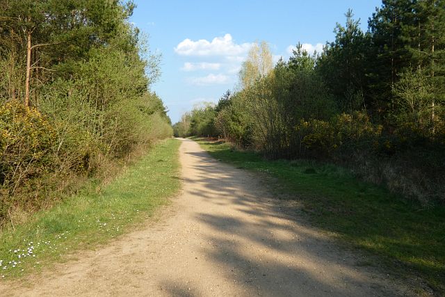
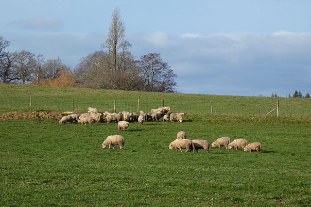
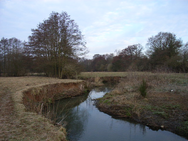
Visitors to Bramshill Plantation can enjoy a variety of recreational activities. There is a network of well-maintained trails that provide opportunities for walking, cycling, and horse riding, allowing visitors to explore the forest at their own pace. The plantation is also home to a number of rare and protected species, including the silver-studded blue butterfly and the lesser-spotted woodpecker, making it a popular spot for wildlife enthusiasts and birdwatchers.

Furthermore, Bramshill Plantation offers a tranquil escape from the hustle and bustle of everyday life. Its peaceful surroundings make it an ideal location for those seeking solitude and relaxation. The plantation is open to the public throughout the year and is a popular destination for nature lovers, families, and individuals looking to reconnect with nature.

If you have any feedback on the listing, please let us know in the comments section below.

Bramshill Plantation Images

Images are sourced within 2km of 51.353868/-0.92102046 or Grid Reference SU7562. Thanks to Geograph Open Source API. All images are credited.

Bend on Reading Road, Eversley
Houses on Reading Road, Eversley
Bonfire in the Garden Bungalow near Riseley.
Bonfire in the Garden
Bungalow near Riseley.
Thatcher's or Little Ford, River Blackwater Little Ford might be a bit of a misleading name. This would definitely be off limits for the ordinary car. 
If the water didn't stop you, at around 40 cm deep even in this medium flow shot, then the broken up concrete roadway on the far side probably would.
Thatcher's or Little Ford, River Blackwater
Little Ford might be a bit of a misleading name. This would definitely be off limits for the ordinary car. If the water didn't stop you, at around 40 cm deep even in this medium flow shot, then the broken up concrete roadway on the far side probably would.
Blackwater Valley Path near Thatcher's Ford There is a footbridge adjacent to the ford, but the Blackwater Valley Path stays on the north side of the river.
Blackwater Valley Path near Thatcher's Ford
There is a footbridge adjacent to the ford, but the Blackwater Valley Path stays on the north side of the river.
Ford Lane The approach down to Thatcher's Ford over the River Blackwater. 
Traffic along here is limited by the ford being unsuitable for most vehicles.
Ford Lane
The approach down to Thatcher's Ford over the River Blackwater. Traffic along here is limited by the ford being unsuitable for most vehicles.
St Neots Road Presumably named after the school along here.
St Neots Road
Presumably named after the school along here.
Jouldings Lane, Farley Hill Looking south, downhill towards the Blackwater River, with Hill Farm in the background.
Jouldings Lane, Farley Hill
Looking south, downhill towards the Blackwater River, with Hill Farm in the background.
View of Cheriton Farm from Jouldings Lane Looking south across pasture alongside Jouldings Lane.  The coniferous forest of Bramshill Plantation can be seen in the distance.
View of Cheriton Farm from Jouldings Lane
Looking south across pasture alongside Jouldings Lane. The coniferous forest of Bramshill Plantation can be seen in the distance.
Lower Common, Eversley There are houses on the northern side of the road, whilst it is mostly woodland to the south.
Lower Common, Eversley
There are houses on the northern side of the road, whilst it is mostly woodland to the south.
Track and forestry, Bramshill A sandy track towards the north of Bramshill Plantation.
Track and forestry, Bramshill
A sandy track towards the north of Bramshill Plantation.
Track and forestry, Bramshill A track headed north in the western part of Bramshill Plantation.
Track and forestry, Bramshill
A track headed north in the western part of Bramshill Plantation.
Track and forestry, Bramshill A track headed due east in the southern part of Bramshill Plantation.
Track and forestry, Bramshill
A track headed due east in the southern part of Bramshill Plantation.
Forestry, Bramshill Mature pines towards the south of Bramshill Plantation.
Forestry, Bramshill
Mature pines towards the south of Bramshill Plantation.
Pond and woodland, Bramshill One of the pools passed by a bridleway to the west of Heath Warren.
Pond and woodland, Bramshill
One of the pools passed by a bridleway to the west of Heath Warren.
Farmland, Heckfield The sheep had just been relocated to this field from a neighbouring riverside field.
Farmland, Heckfield
The sheep had just been relocated to this field from a neighbouring riverside field.
Pasture, Heckfield A field descending towards the River Whitewater.
Pasture, Heckfield
A field descending towards the River Whitewater.
Pasture, Finchampstead Plenty of oaks beside the footpath heading towards Farley Hill.
Pasture, Finchampstead
Plenty of oaks beside the footpath heading towards Farley Hill.
Show me another place!

Bramshill Plantation is located at Grid Ref: SU7562 (Lat: 51.353868, Lng: -0.92102046)

Administrative County: Hampshire

District: Hart

Police Authority: Hampshire

What 3 Words

///cluttered.shred.herbs. Near Eversley, Hampshire

Related Wikis

Bramshill

Bramshill is a civil parish in the English county of Hampshire. Its name has become synonymous with the Police Staff College, Bramshill located in Bramshill...

Lower Common

Lower Common is a village in the civil parish of Eversley in the district of Hart in Hampshire, England. Its nearest town is Yateley, approximately 3.1...

River Hart

The River Hart is a tributary of the River Whitewater in north Hampshire, England. It rises at Ashley Head spring in Crondall and flows north to meet the...

River Whitewater

The River Whitewater rises at springs near Bidden Grange Farm between Upton Grey and Greywell in Hampshire, England. It flows northeast and is a tributary...

Bramshill SSSI

Bramshill is a 673.3-hectare (1,664-acre) biological Site of Special Scientific Interest near Bramshill, northeast of Basingstoke in Hampshire. It is part...

The Marshes Local Nature Reserve

The Marshes is a 2.2-hectare (5.4-acre) Local Nature Reserve south of Swallowfield in Berkshire. It is owned and managed by Swallowfield Parish Council...

Warbrook House Hotel, Eversley

Warbrook House is a building of historical significance and is listed as Grade I in the English Heritage Register. It was built in 1724 by the architect...

Farley Hill, Berkshire

Farley Hill is a village in the county of Berkshire, England. For local government purposes, the village is within the civil parish of Swallowfield, which...

Nearby Amenities

Located within 500m of 51.353868,-0.92102046
Barrier: cycle_barrier
Bicycle: no
Foot: yes
Lat/Long: 51.3511593/-0.9181193
The data included in this document is from www.openstreetmap.org. The data is made available under ODbL.

Have you been to Bramshill Plantation?

Leave your review of Bramshill Plantation below (or comments, questions and feedback).