East End
Settlement in Gloucestershire Cotswold
England
East End
East End is a small village located in the county of Gloucestershire, England. Situated in the picturesque Cotswolds, it is surrounded by rolling hills, lush green fields, and charming countryside scenery. The village is nestled within the larger area of Stroud District, near the town of Stroud.
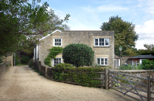
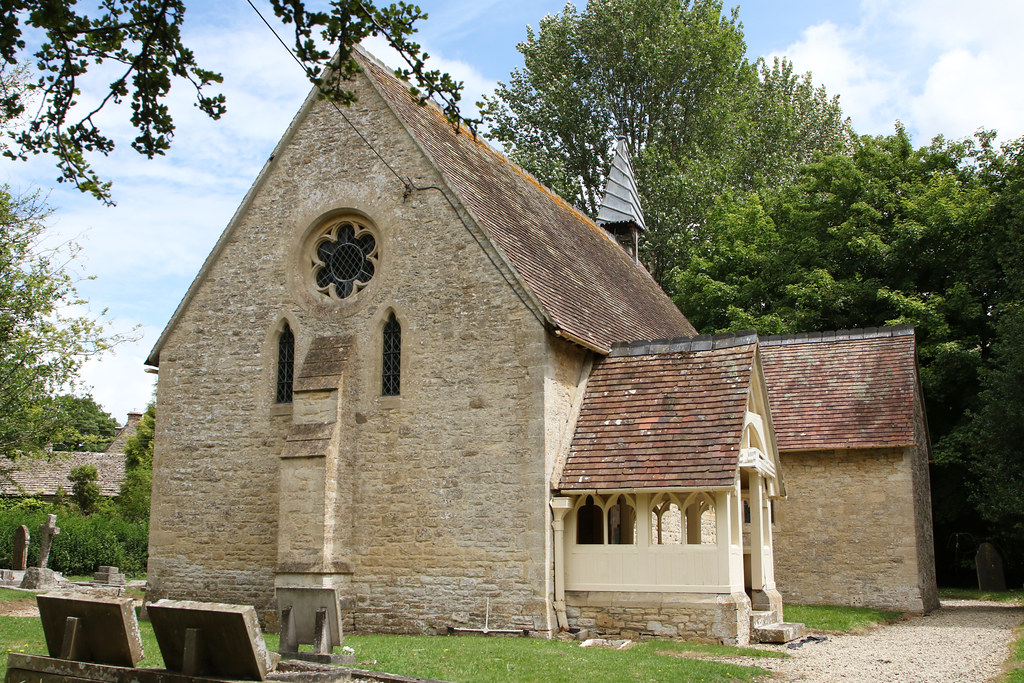
With a population of around 500 residents, East End is a close-knit community that offers a tranquil and peaceful setting. The village is known for its traditional stone-built houses, which add to its rustic charm. The local architecture reflects the history and heritage of the area.
East End is surrounded by an abundance of natural beauty and offers plenty of opportunities for outdoor activities. The nearby countryside provides numerous walking and hiking trails, allowing residents and visitors to explore the stunning landscapes and enjoy the fresh air.
Although East End is primarily a residential area, it benefits from its proximity to Stroud, a vibrant market town that offers a wider range of amenities. Stroud is known for its independent shops, cafes, and weekly farmers' market, where locals can purchase local produce and crafts.
Overall, East End, Gloucestershire, is a delightful village that combines natural beauty with a strong sense of community. Its idyllic location and charming atmosphere make it an appealing place to live for those seeking a peaceful and picturesque lifestyle.
If you have any feedback on the listing, please let us know in the comments section below.
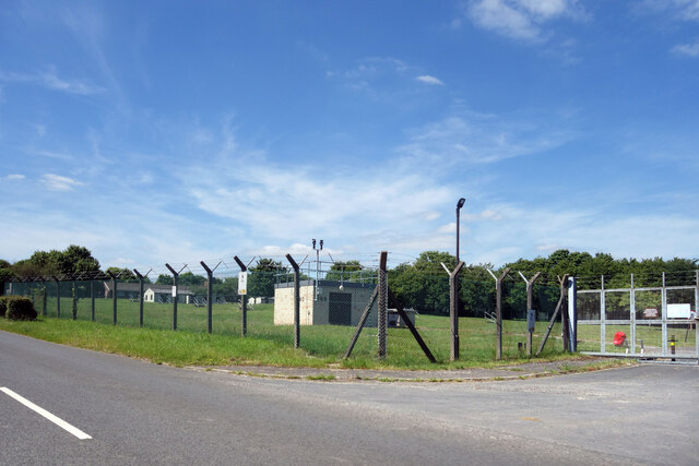
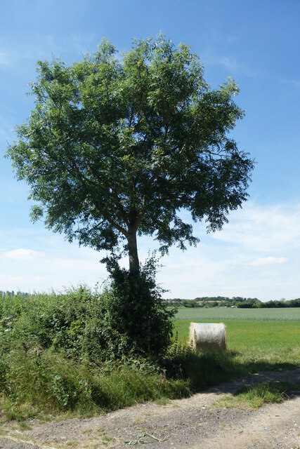
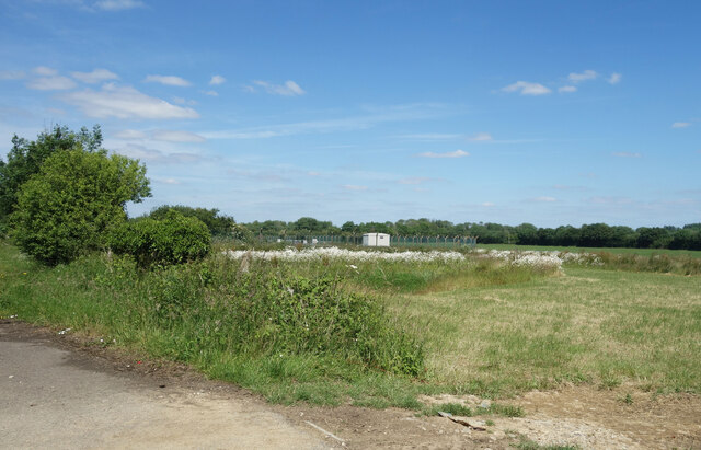
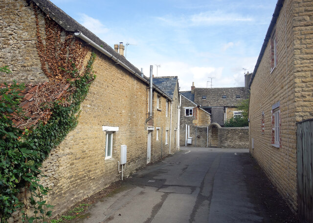
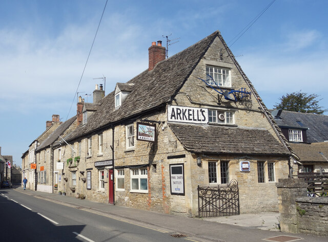
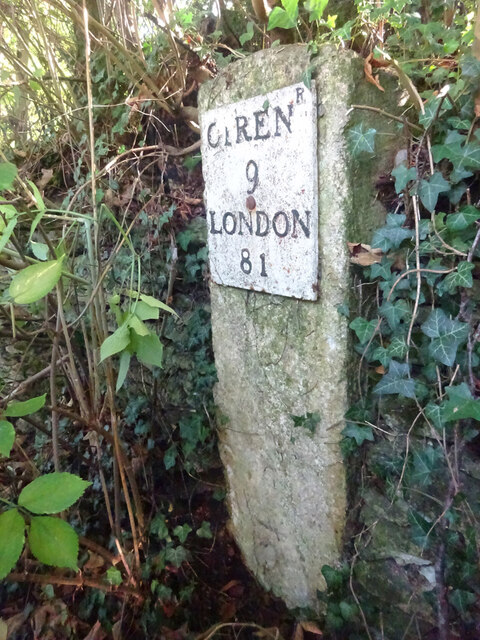
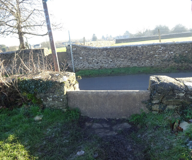
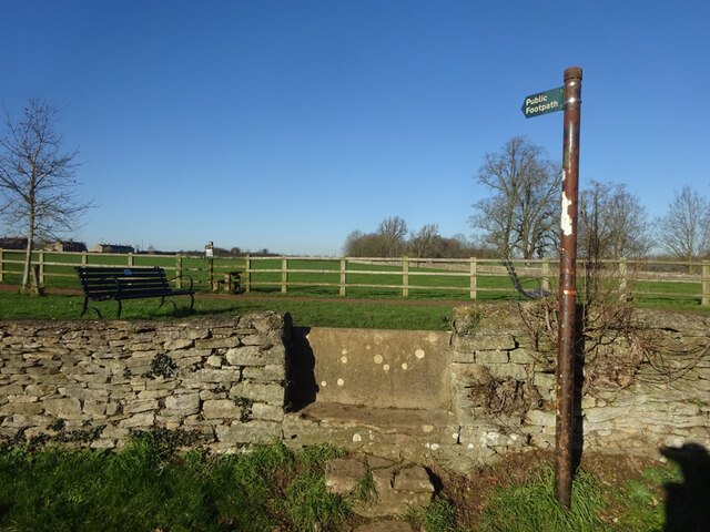
East End Images
Images are sourced within 2km of 51.707293/-1.773478 or Grid Reference SP1500. Thanks to Geograph Open Source API. All images are credited.


East End is located at Grid Ref: SP1500 (Lat: 51.707293, Lng: -1.773478)
Administrative County: Gloucestershire
District: Cotswold
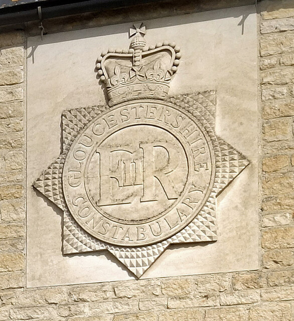
Police Authority: Gloucestershire
What 3 Words
///shed.delight.firework. Near Fairford, Gloucestershire
Related Wikis

Fairford Town F.C.
Fairford Town Football Club is a football club based in Fairford, Gloucestershire, England. Affiliated to the Gloucestershire County Football Association...
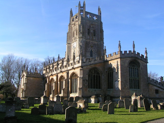
St Mary's Church, Fairford
St Mary's Church is a Church of England church in Fairford, Gloucestershire, England. It is notable for its complete set of 28 medieval stained-glass...

Fairford Park
Fairford Park is a 4,200-acre (1,700 ha) estate in the southern Cotswolds in Gloucestershire, England, close to the small town of Fairford. Purchased by...

Fairford
Fairford is a market town in Gloucestershire, England. The town lies in the Cotswold hills on the River Coln, 6 miles (9.7 km) east of Cirencester, 4 miles...
Farmor's School
Farmor's School is a secondary school with academy status in Fairford, Gloucestershire. Including the Sixth Form, the school currently has about 1,000...
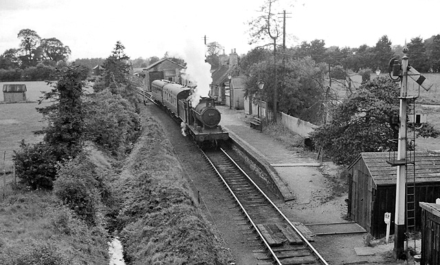
Fairford railway station
Fairford railway station served the town of Fairford in Gloucestershire. It was the western terminus of the Oxford, Witney and Fairford Railway between...

Whelford Meadow
Whelford Meadow (grid reference SP168000) is a 1.86-hectare (4.6-acre) biological Site of Special Scientific Interest in Gloucestershire, England, notified...
Whelford
Whelford is a village in the civil parish of Kempsford, in the Cotswold district, in the county of Gloucestershire, England. Whelford lies in the Cotswold...
Nearby Amenities
Located within 500m of 51.707293,-1.773478Have you been to East End?
Leave your review of East End below (or comments, questions and feedback).