Scalford Gorse
Wood, Forest in Leicestershire Melton
England
Scalford Gorse
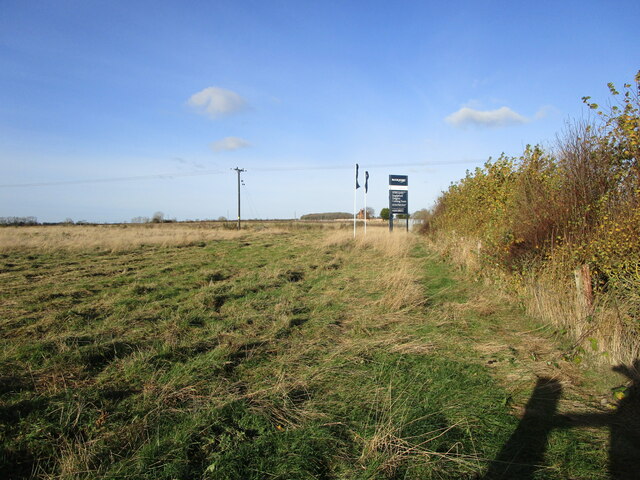
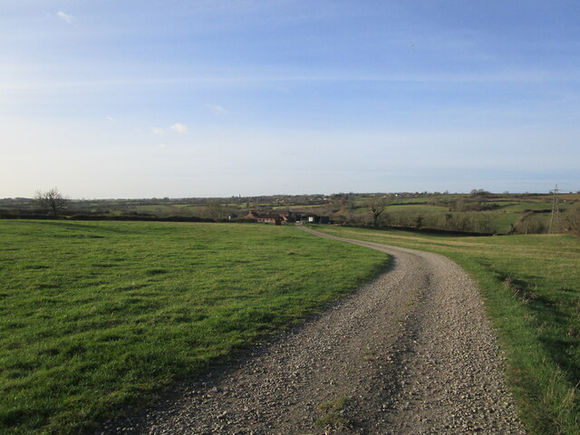
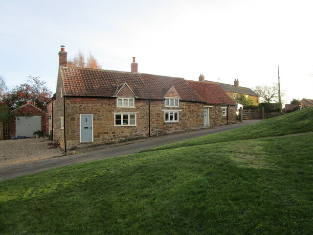
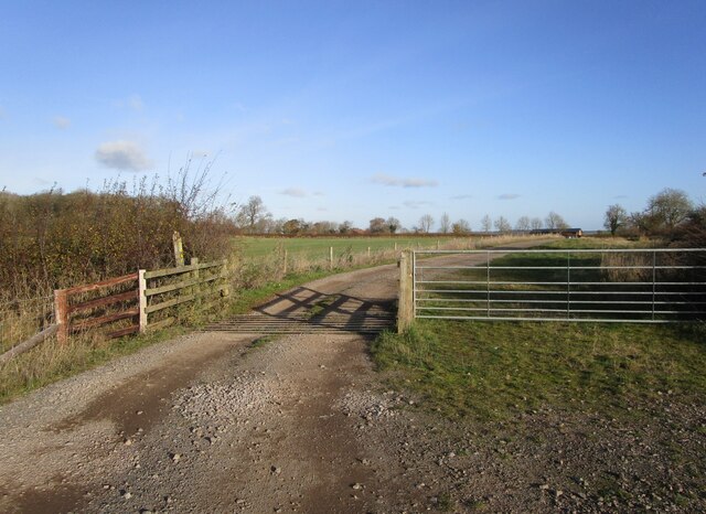
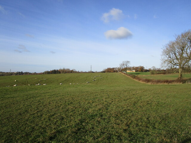
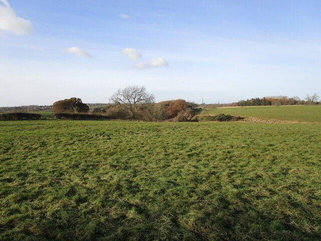
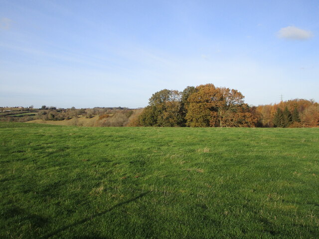
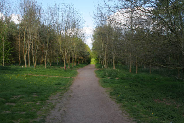
Scalford Gorse is a picturesque wood located in the county of Leicestershire, England. Situated near the village of Scalford, it covers an area of approximately 100 acres and is known for its stunning natural beauty and diverse wildlife.
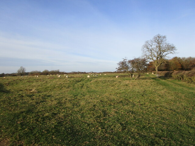
The wood is characterized by its dense canopy of trees, predominantly consisting of oak, ash, and beech. These majestic trees provide a habitat for a wide range of flora and fauna, making it a popular destination for nature enthusiasts and birdwatchers.
Scalford Gorse is home to a variety of woodland creatures, including deer, badgers, foxes, and numerous species of birds, such as woodpeckers and owls. The wood's tranquil atmosphere and secluded paths make it an ideal spot for a peaceful walk or a family picnic.
The wood is also steeped in history, with evidence of human settlement dating back to the Iron Age. Archaeological finds in the area include pottery shards and ancient tools, providing insights into the lives of past inhabitants.
In addition to its natural and historical significance, Scalford Gorse is a designated Site of Special Scientific Interest (SSSI). This designation recognizes its importance as a habitat for rare and endangered plant species, such as the lady orchid and the lesser butterfly orchid.
Overall, Scalford Gorse offers a unique and enchanting experience for those seeking a connection with nature and a glimpse into the rich history of Leicestershire.
If you have any feedback on the listing, please let us know in the comments section below.
Scalford Gorse Images
Images are sourced within 2km of 52.794346/-0.89164767 or Grid Reference SK7422. Thanks to Geograph Open Source API. All images are credited.


Scalford Gorse is located at Grid Ref: SK7422 (Lat: 52.794346, Lng: -0.89164767)
Administrative County: Leicestershire
District: Melton
Police Authority: Leicestershire
What 3 Words
///initiates.remarried.timer. Near Melton Mowbray, Leicestershire
Nearby Locations
Related Wikis

Melton Rural District
Melton was a rural district in Leicestershire, England from 1894 to 1935. It was created in 1894 under the Local Government Act 1894 as a successor to...

Holwell Reserves
Holwell Reserves is a 16.4 hectares (41 acres) nature reserve north of Melton Mowbray in Leicestershire. It is owned and managed by the Leicestershire...
John Ferneley College
John Ferneley College is a mixed college located in Melton Mowbray in the English county of Leicestershire. The college is part of the Mowbray Education...
Melton Country Park
Melton Country Park is a country park in Melton Mowbray, Leicestershire, England. == Facilities == The park has a visitor centre, cafe, sensory garden...
Scalford railway station
Scalford railway station was a railway station serving the village of Scalford, Leicestershire on the Great Northern and London and North Western Joint...
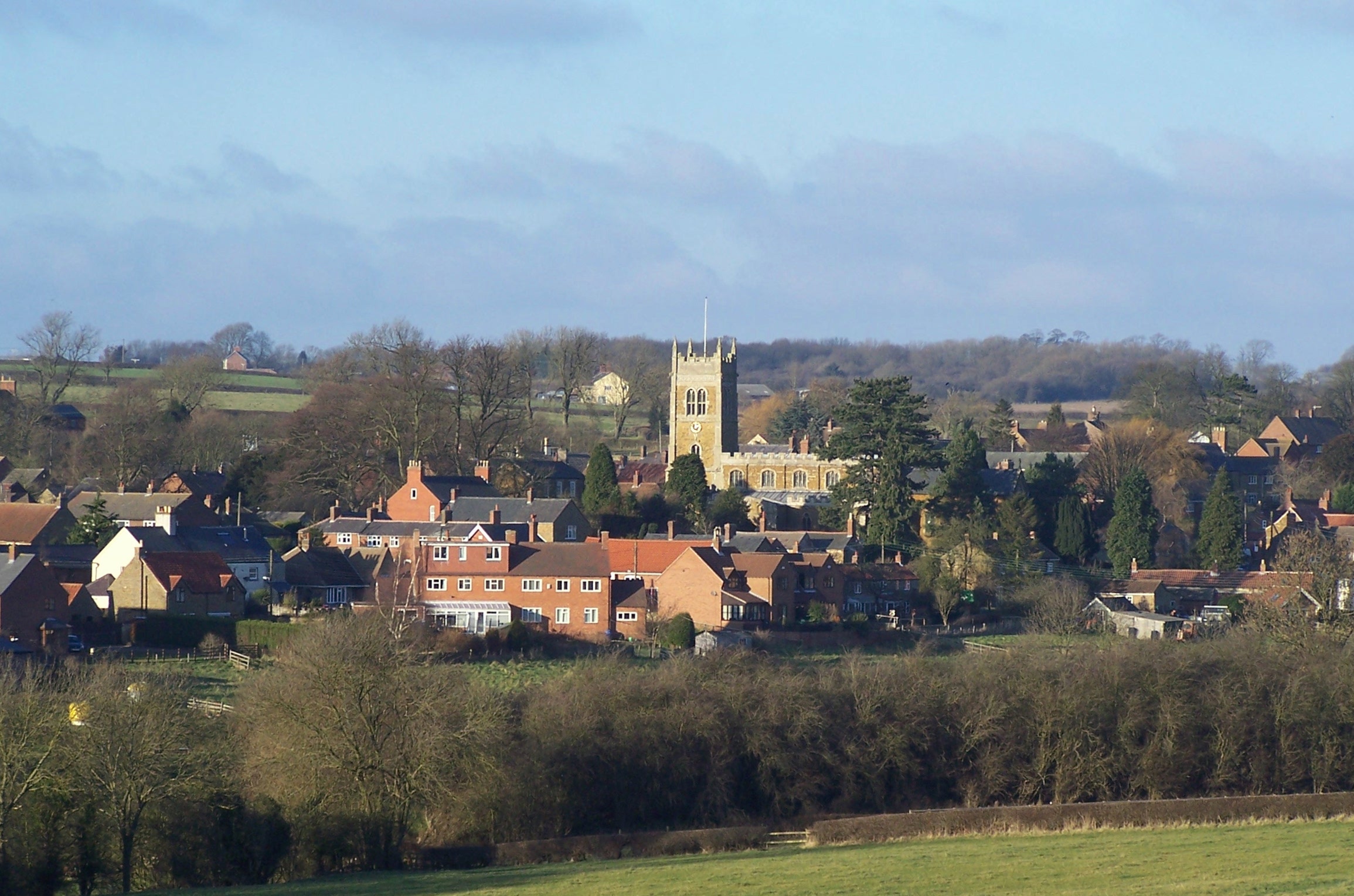
Scalford
Scalford is a village and civil parish in the Melton borough of Leicestershire, England. It lies 4 miles (6.4 km) to the north of Melton Mowbray at the...

Ab Kettleby
Ab Kettleby is a village and civil parish in the Melton district of Leicestershire, England, located 3 miles (4.8 km) north of Melton Mowbray, on the A606...

St James' Church, Ab Kettleby
St James’ Church, Ab Kettleby is a Grade II* listed parish church in the Church of England in Ab Kettleby, Leicestershire. == History == The church dates...
Nearby Amenities
Located within 500m of 52.794346,-0.89164767Have you been to Scalford Gorse?
Leave your review of Scalford Gorse below (or comments, questions and feedback).