Kildridge Wood
Wood, Forest in Oxfordshire South Oxfordshire
England
Kildridge Wood
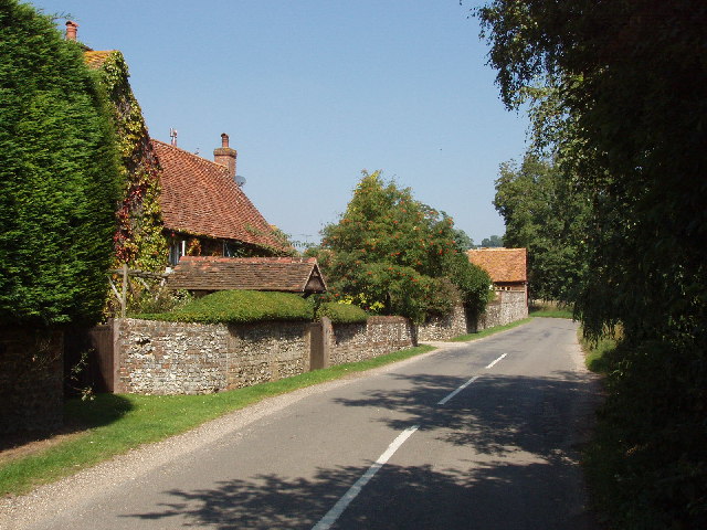
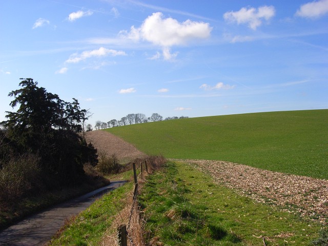
Kildridge Wood is a charming forest located in Oxfordshire, England. Covering an area of approximately 100 acres, this woodland is a haven for nature enthusiasts and outdoor lovers alike. Situated just a few miles outside the historic city of Oxford, Kildridge Wood offers a peaceful retreat from the bustling urban life.
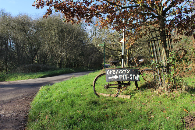
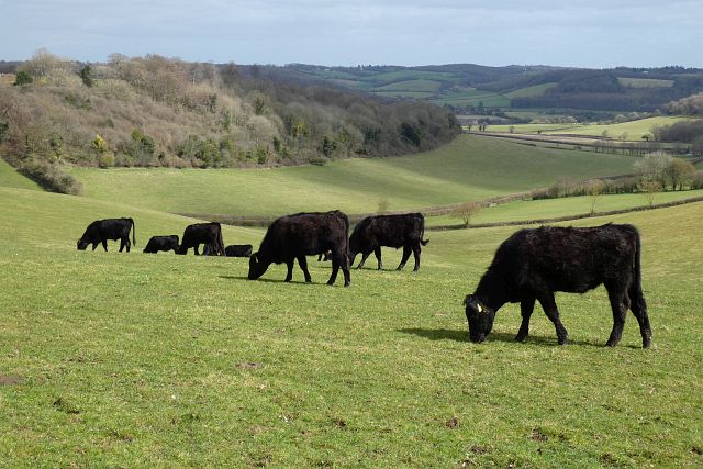
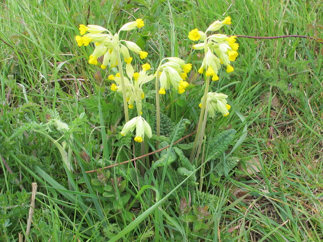
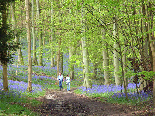
The woodland consists predominantly of native broadleaf trees, including oak, beech, and birch, creating a diverse and vibrant ecosystem. The forest floor is adorned with a rich carpet of bluebells during the springtime, providing a breathtaking sight for visitors. Numerous species of birds, such as woodpeckers and warblers, can be spotted among the branches, making it a popular spot for birdwatching.
Kildridge Wood boasts a network of well-maintained trails, allowing visitors to explore the forest at their own pace. The paths meander through the woodland, offering stunning views of the surrounding countryside. Along the way, there are picnic areas and benches, providing opportunities for visitors to relax and enjoy the tranquility of the forest.
The woodland is managed by a local conservation group, which ensures the preservation of its natural beauty and biodiversity. They organize educational programs and guided walks to raise awareness about the importance of woodland conservation.
Whether it is for a leisurely stroll, a family picnic, or a birdwatching adventure, Kildridge Wood offers a delightful experience for nature enthusiasts. Its proximity to Oxford makes it easily accessible for both locals and tourists, providing a welcome escape into the wonders of nature.
If you have any feedback on the listing, please let us know in the comments section below.
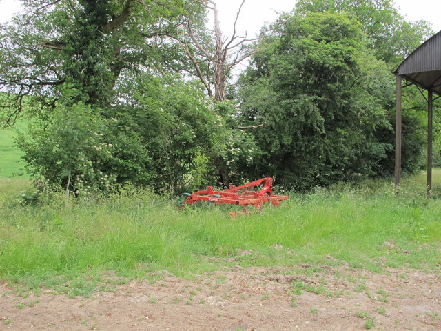
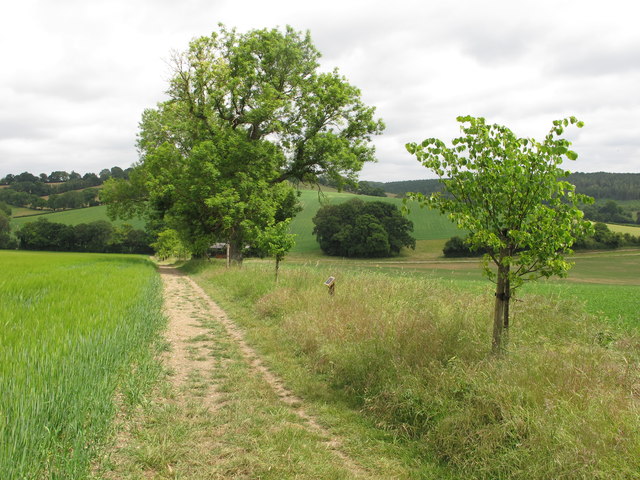
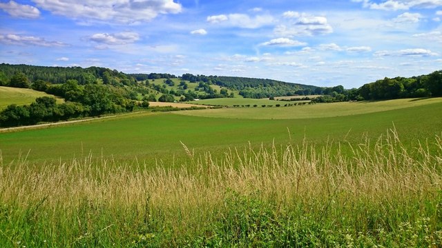
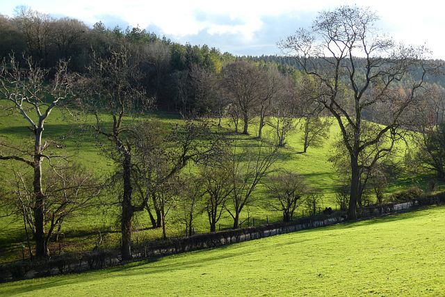
Kildridge Wood Images
Images are sourced within 2km of 51.595841/-0.92224173 or Grid Reference SU7489. Thanks to Geograph Open Source API. All images are credited.


Kildridge Wood is located at Grid Ref: SU7489 (Lat: 51.595841, Lng: -0.92224173)
Administrative County: Oxfordshire
District: South Oxfordshire
Police Authority: Thames Valley
What 3 Words
///unfilled.airstrip.dandelions. Near Remenham, Berkshire
Nearby Locations
Related Wikis
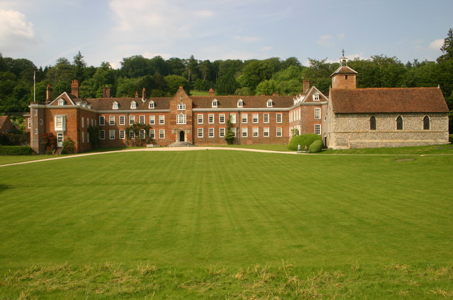
Stonor Park
Stonor Park is a historic country house and private deer park situated in a valley in the Chiltern Hills at Stonor, about four miles (6.4 km) north of...

Southend, Buckinghamshire
Southend is a hamlet, in the civil parish of Turville (where at the 2011 Census the population was included ) near to the village of the same name in Buckinghamshire...
Stonor
Stonor is a mostly cultivated and wooded village and former civil parish, now in the parish of Pishill with Stonor, in the South Oxfordshire, district...
Pishill with Stonor
Pishill with Stonor is a civil parish in the high Chilterns, South Oxfordshire. It includes the villages of Pishill (Ordnance Survey grid reference SU727899...

Turville Grange
Turville Grange is a large detached house in the village of Turville Heath in the English county of Buckinghamshire. It was built in the late 18th century...
Pishill
Pishill is a village and former civil parish, now in the parish of Pishill with Stonor, in the South Oxfordshire district, in the county of Oxfordshire...
Fawley Bottom
Fawley Bottom is a small village in south Buckinghamshire, England, north of Henley-on-Thames. It is in the civil parish of Fawley. The artist John Piper...

Fawley, Buckinghamshire
Fawley is a village and civil parish in Wycombe district in the south-western corner of Buckinghamshire, England. It is on the boundary between Buckinghamshire...
Nearby Amenities
Located within 500m of 51.595841,-0.92224173Have you been to Kildridge Wood?
Leave your review of Kildridge Wood below (or comments, questions and feedback).